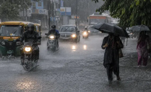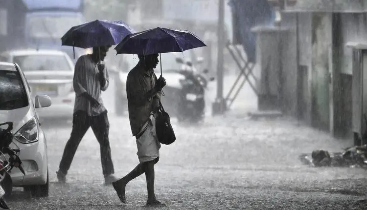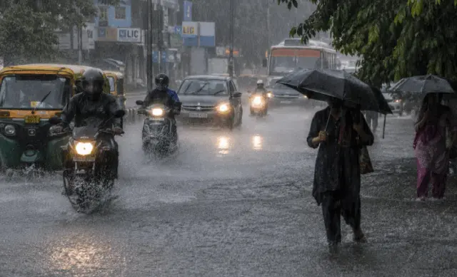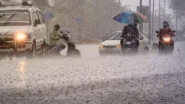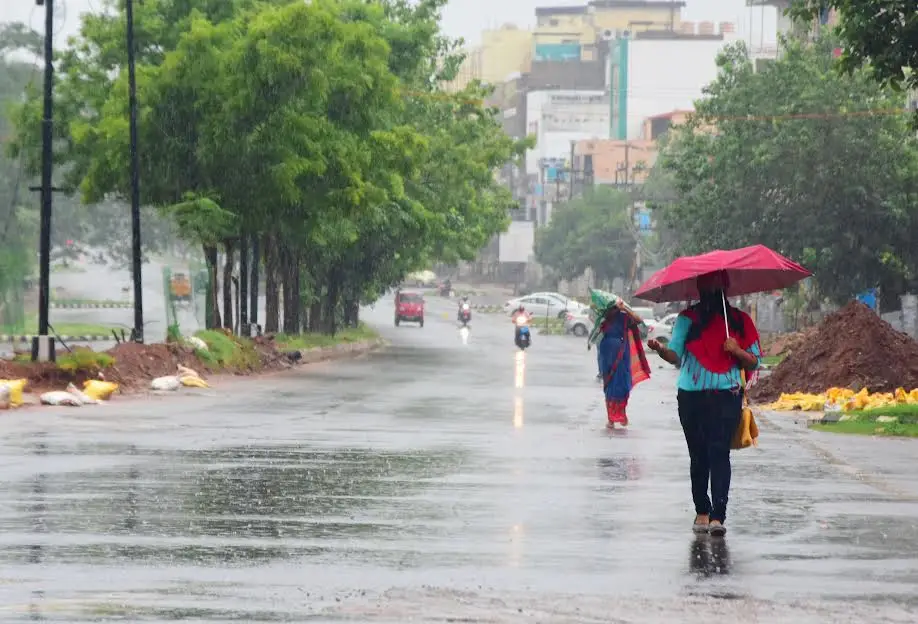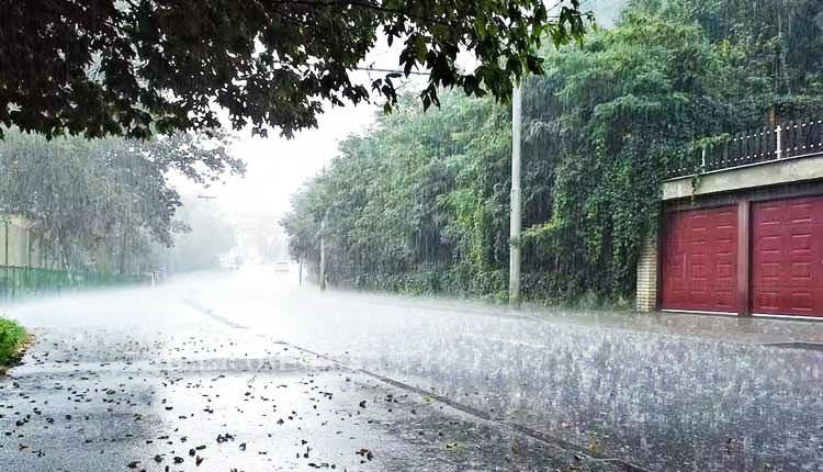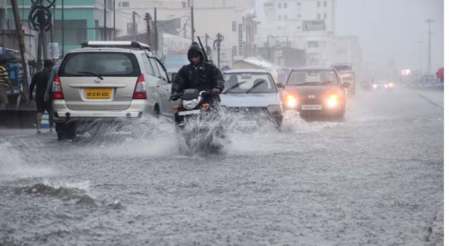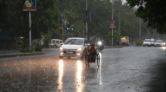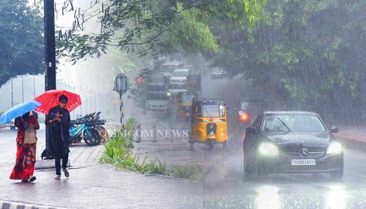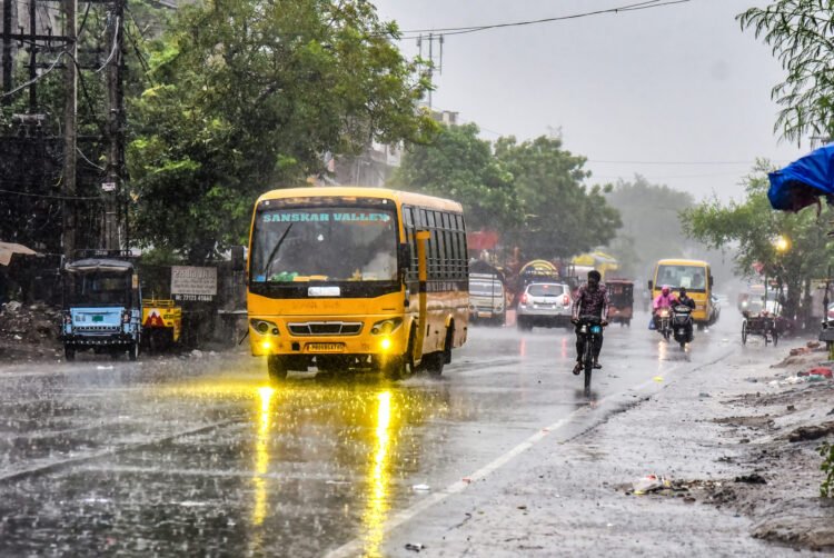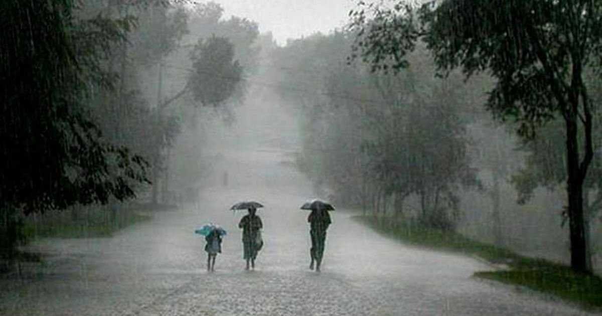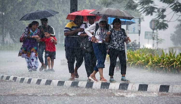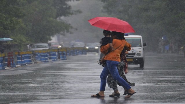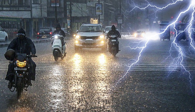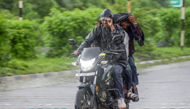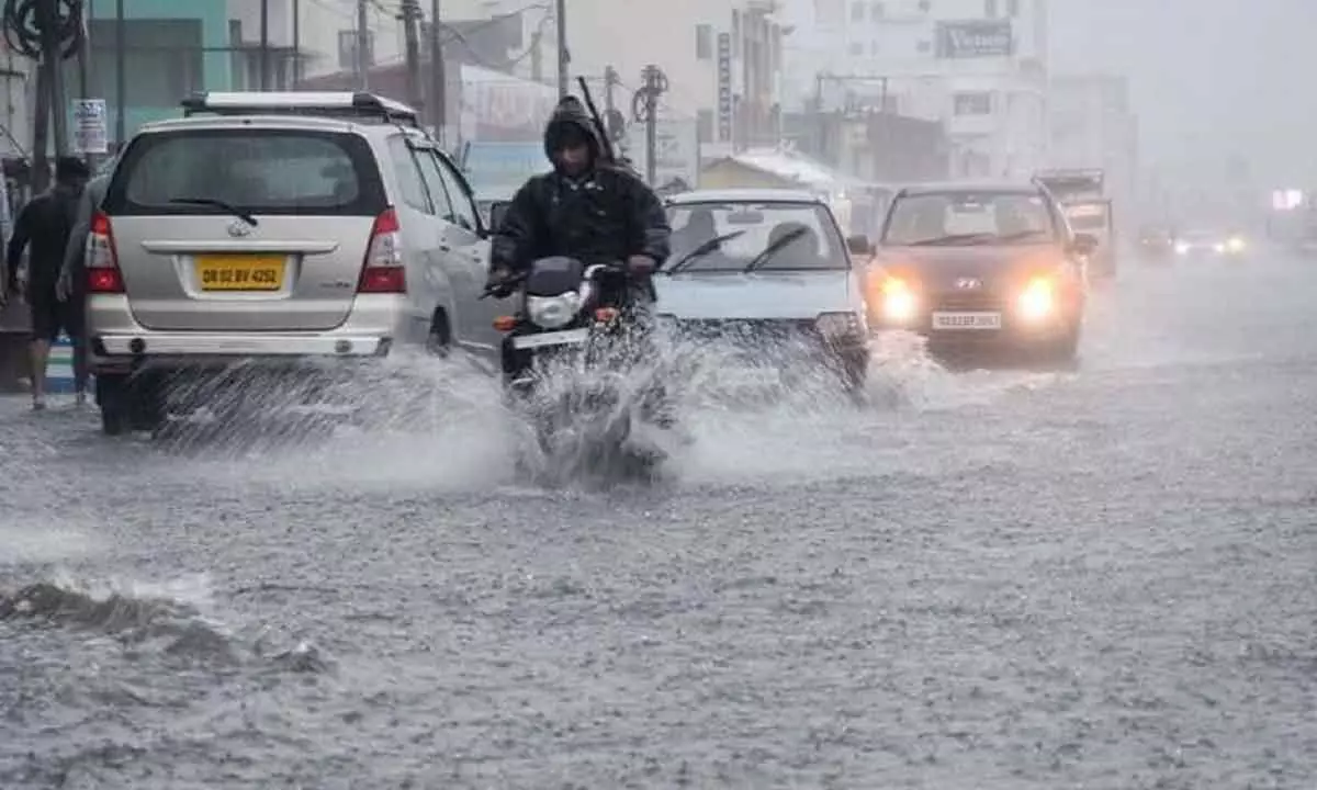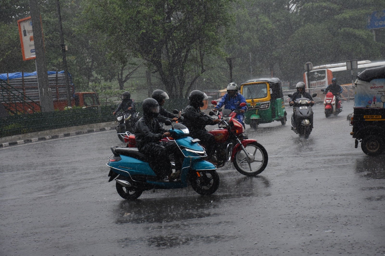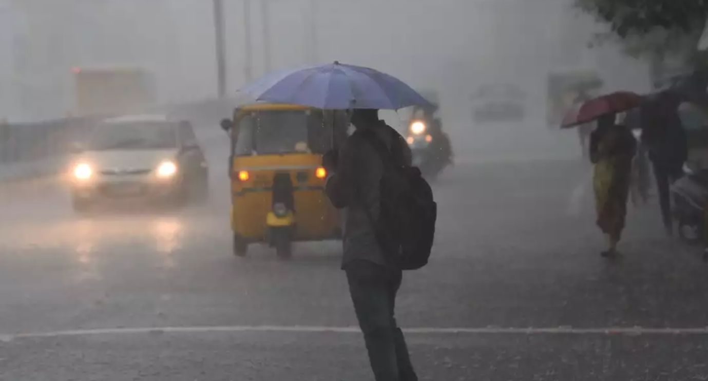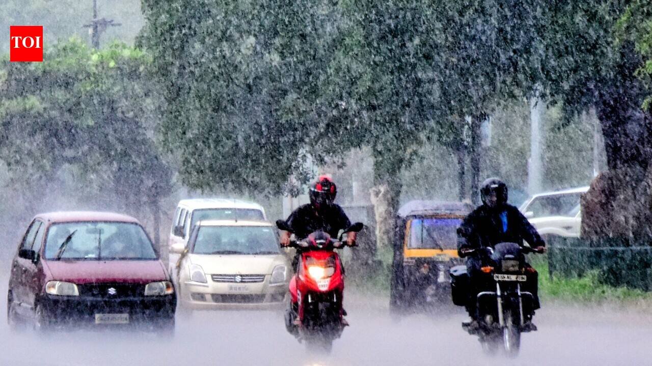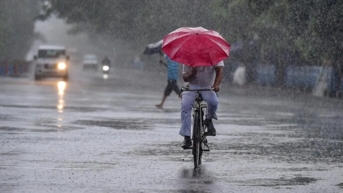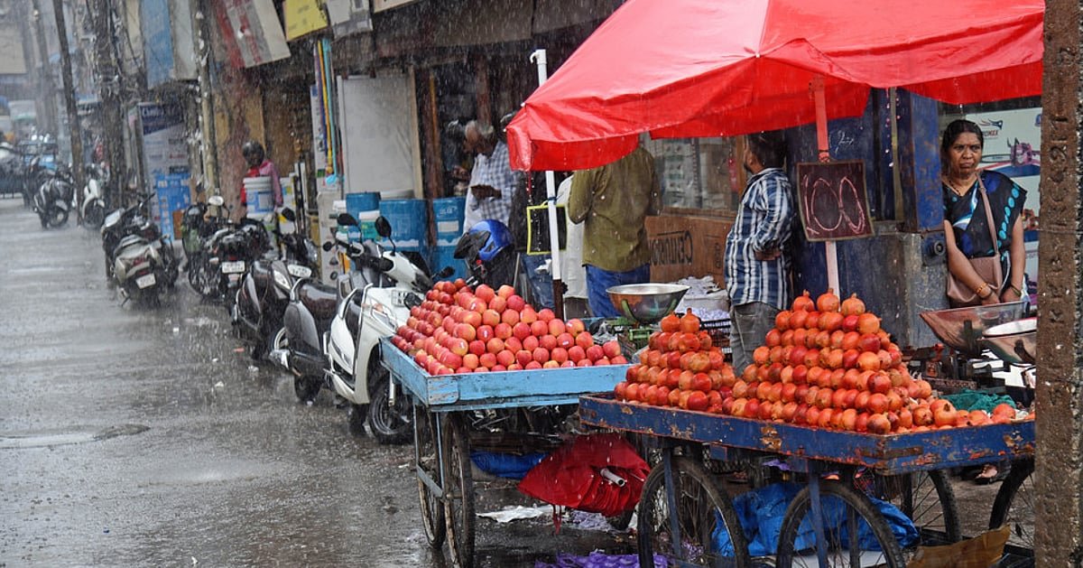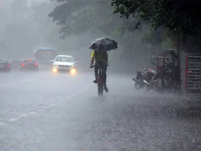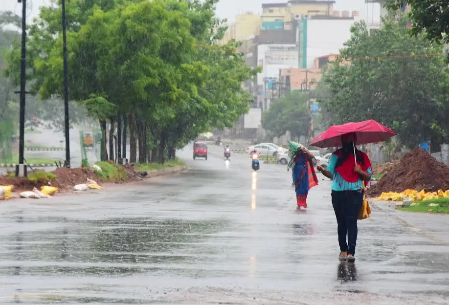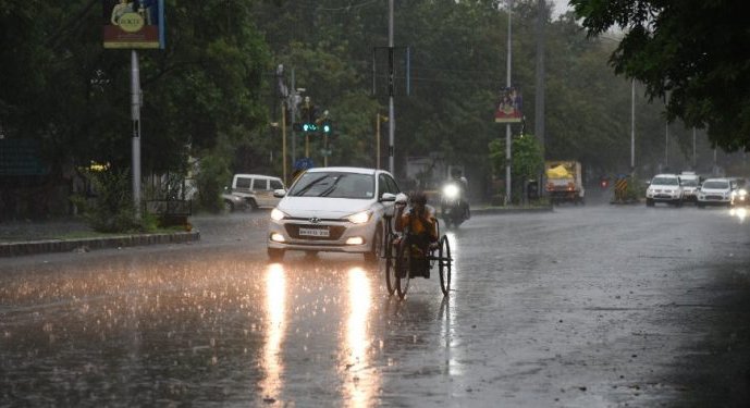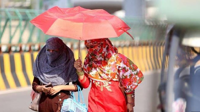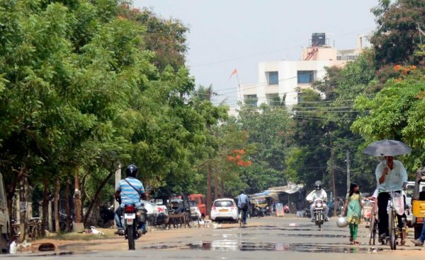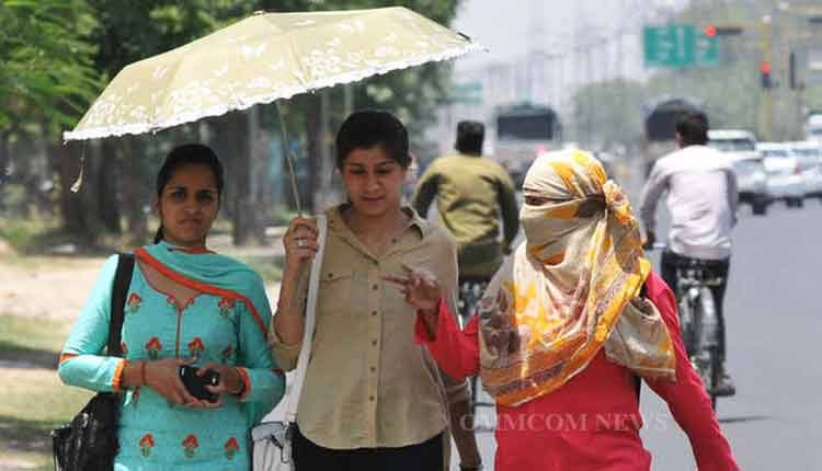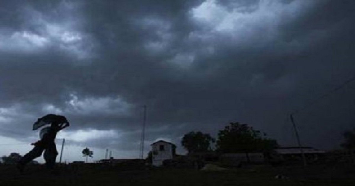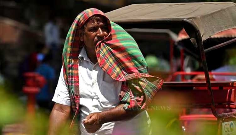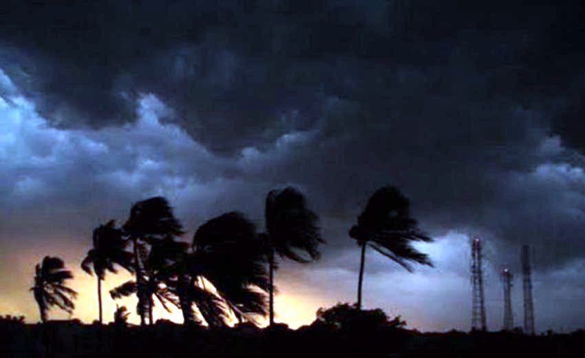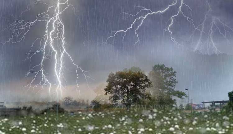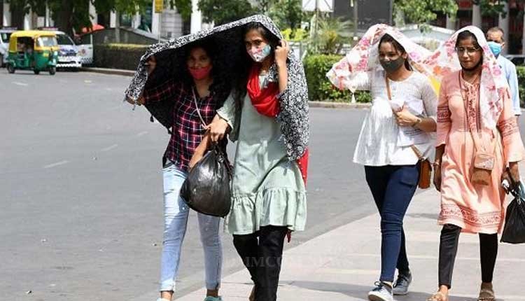
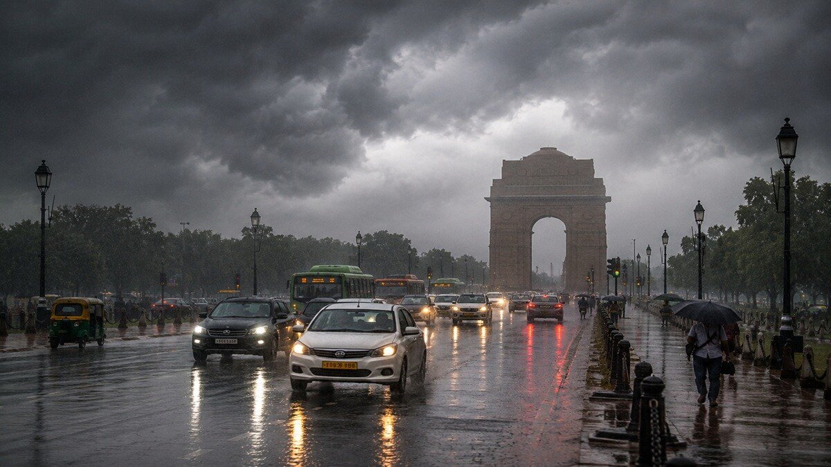
The India Meteorological Department (IMD) forecasts that rainfall distribution across the National Capital Region (NCR) will be inconsistent, with a gradual decrease in precipitation following the current weather pattern. Daytime temperatures are projected to hover around 33-34°C.
According to K Venkatramana, a Fellow and Area Convener at the Center for Climate Modelling within TERI’s Earth Science and Climate Change Division, Delhi-NCR has already accumulated a rainfall surplus this month. August has seen 200.7 mm of rain, exceeding the normal of 156.4 mm, resulting in a 28% surplus; overall, the season’s rainfall is 7% above the average at 436.6 mm.
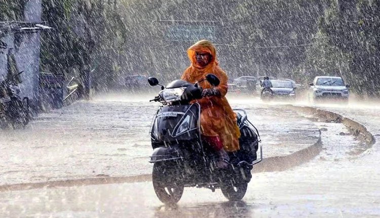
Suruchi Bhadwal, Director at The Energy and Resources Institute (TERI), expressed concern not just about the surplus but also about the intensity of the rainfall. “Any rainfall predicted for August is considered surplus. The challenge is the extreme nature of these downpours, with substantial amounts falling in a short period,” she remarked.
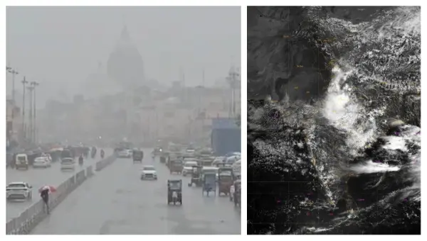
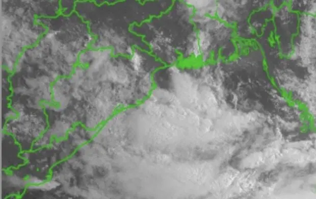
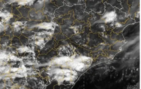
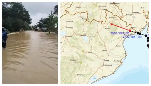
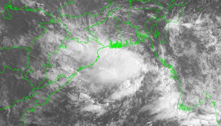
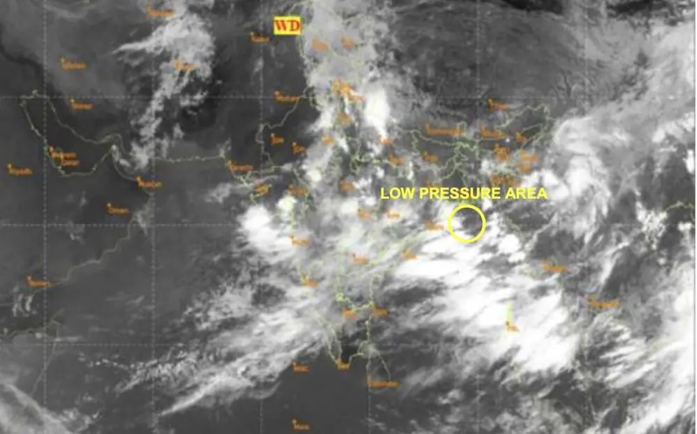
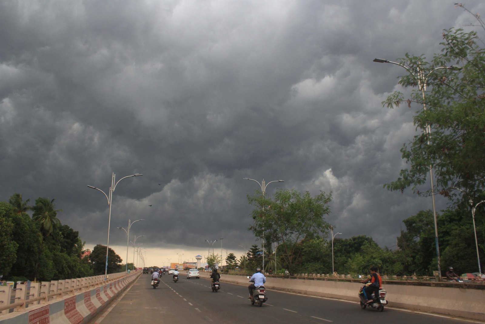
Meanwhile, the threat of heavy rain is primarily focused on Chhattisgarh, Madhya Pradesh, Jharkhand, and Odisha, where a low-pressure area embedded in the monsoon trough is pulling moisture inland. Venkatramana noted that although this system is unlikely to develop into a stronger storm, it is expected to bring heavy rainfall for another two to three days.
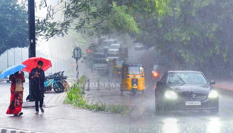
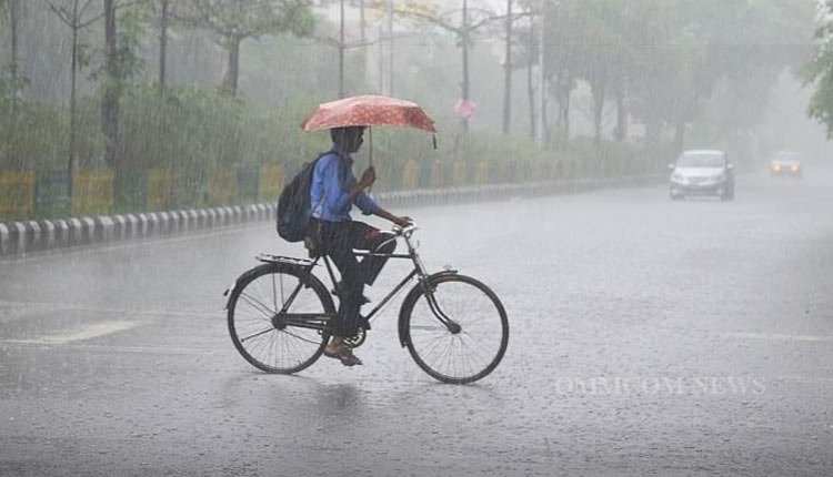
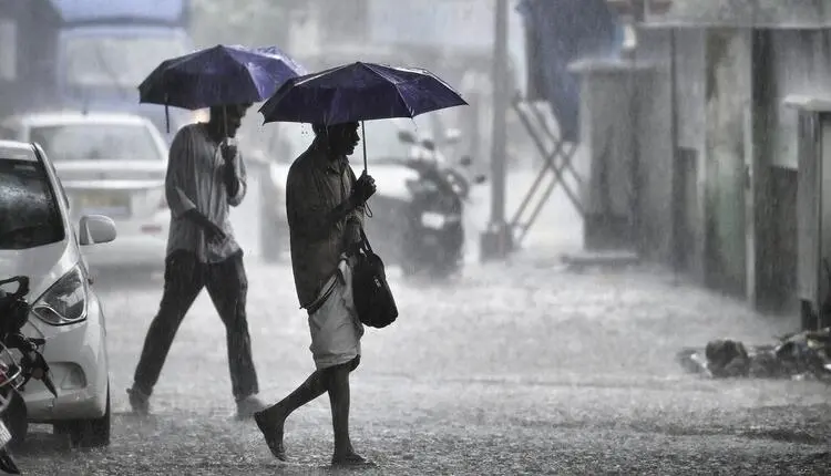
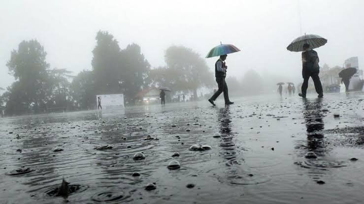
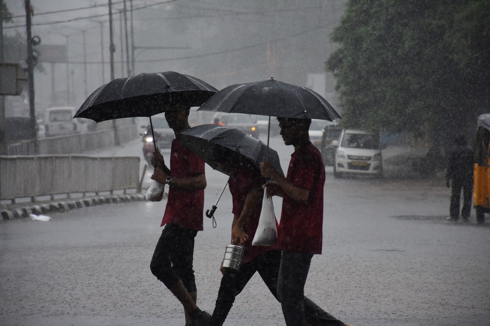
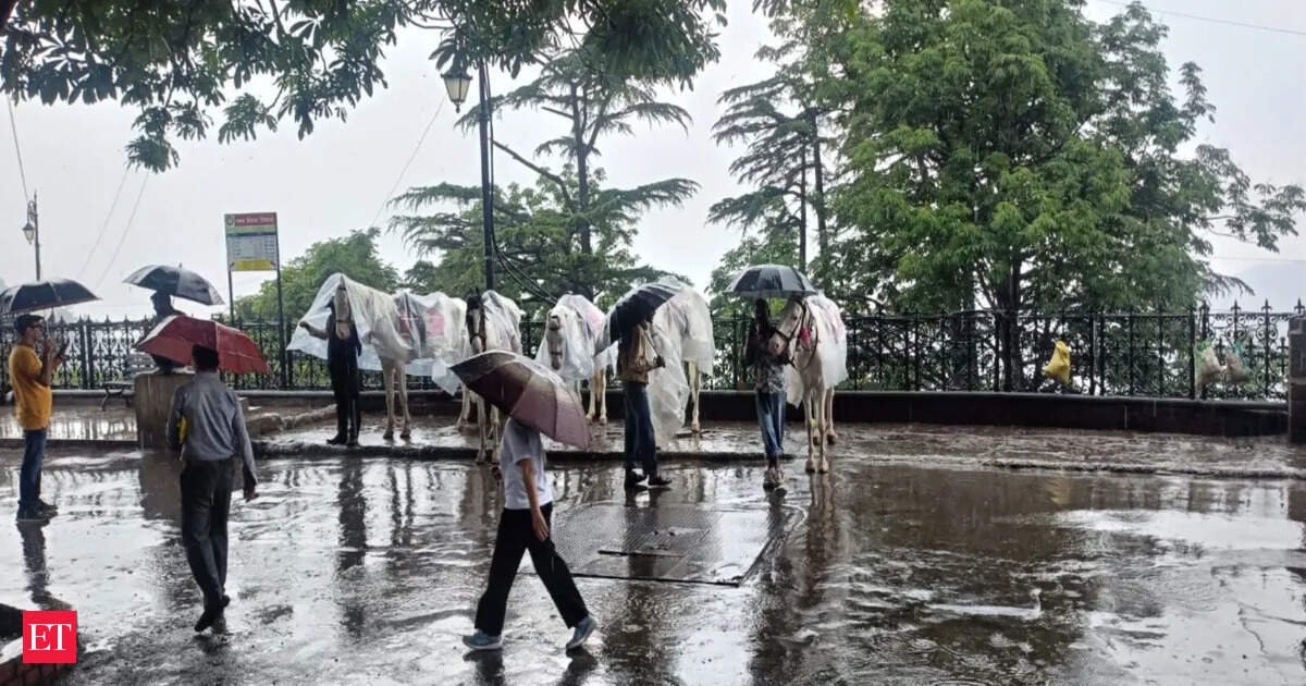
In Delhi-NCR, light rain or drizzle might persist on August 26 and 27 as the weather system shifts away. From August 28 to 29, clearer skies are expected, with temperatures rising to between 35-37°C. Rain is anticipated to return on August 30 and 31, potentially further increasing the rainfall surplus for the month.
Venkatramana indicated that the national capital has experienced higher than average rainfall in both July and August. “A little more rain is expected on August 30-31, which will add to the surplus,” he said, adding that while the warning for August may lift, light drizzles will likely continue on the 26th and 27th, followed by dry conditions before the return of rain.
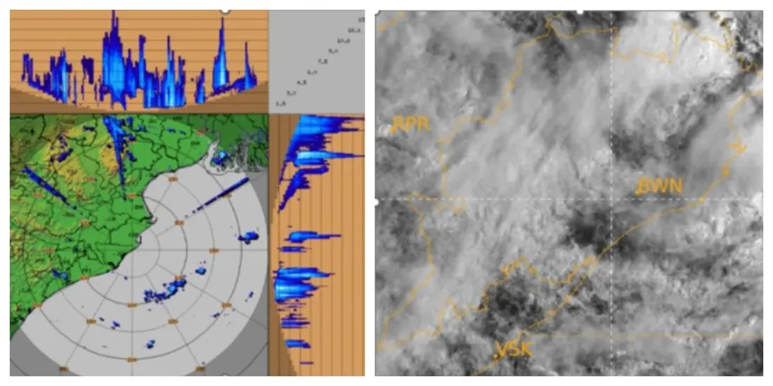
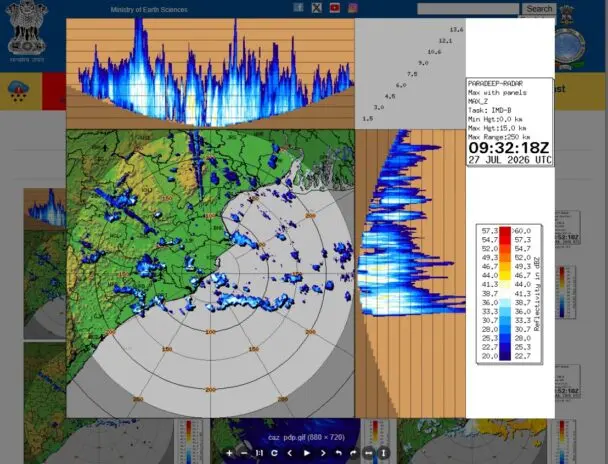
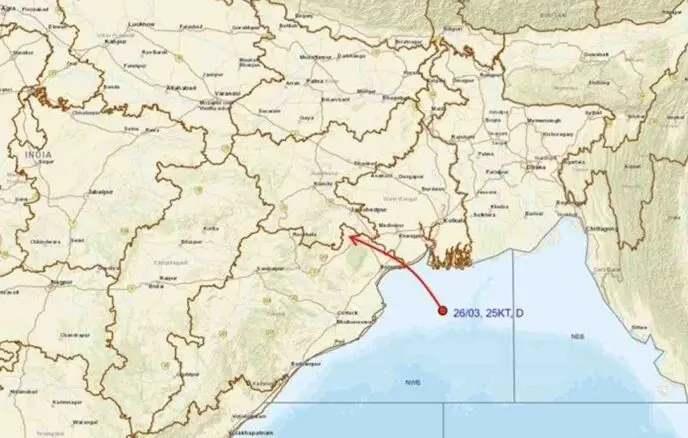
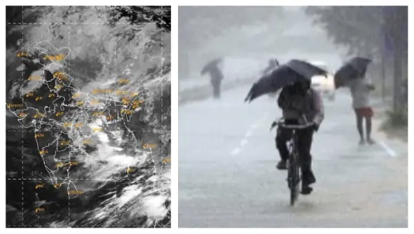
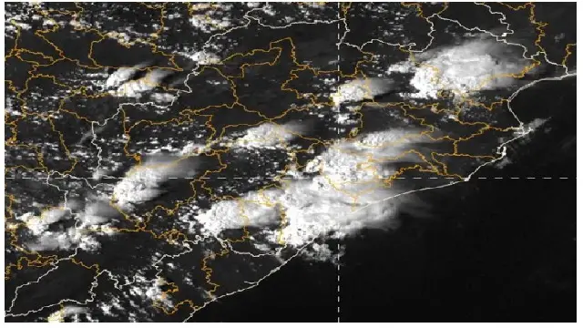
Regarding the ongoing weather conditions, the IMD predicts significant rainfall across central and eastern India as the low-pressure area over Gangetic West Bengal, adjacent to Jharkhand and northern Odisha, moves northwestward. This weather system is likely to enhance rainfall in Jharkhand, Chhattisgarh, Madhya Pradesh, and surrounding regions. The IMD has specifically warned of heavy to very heavy rain in Odisha and Jharkhand, as well as both east and west Madhya Pradesh during this weather event, with isolated heavy rainfall also possible in Bihar and Uttar Pradesh.
Supported by a monsoon trough extending from southwest Uttar Pradesh through north Madhya Pradesh, north Chhattisgarh, and Jharkhand to the cyclonic circulation associated with the low-pressure area, the system is also influenced by other weather patterns, including a western disturbance over northern India.
Venkatramana emphasized that this low-pressure area is not expected to evolve into a more intense cyclone or storm. “Forecast models indicate virtually no chance of it becoming a larger storm this week,” he stated, noting that it is moving inland away from warm ocean waters, which are necessary for strengthening.
The system will, however, continue to produce substantial rainfall for the next few days, particularly over Chhattisgarh and Madhya Pradesh, before the intensity begins to decline.
As for the reasons behind the heavy rainfall in Chhattisgarh and Madhya Pradesh, Venkatramana explained that the monsoon trough serves as a moisture conduit linking the weather system to the Bay of Bengal. “The low-pressure area is directly connected to the trough, which continuously pulls in moisture from the sea, leading to heavy rain in Jharkhand right now,” he said.
He further noted that the interaction is more pronounced further west, as upper-air circulations in Chhattisgarh and Madhya Pradesh help lift moisture through a deeper atmospheric layer. “Several wind patterns are also aligned above the trough, which enhances moisture lift, resulting in these two states receiving the heaviest rainfall, even more than Jharkhand,” he explained.
As the low-pressure area migrates westward, the area of intense rainfall will also move. “Bihar’s rainfall is tapering off as the system departs, while Odisha will experience increased precipitation next. West Bengal and Sikkim will remain wet throughout the week due to their proximity to the sea end of the trough,” he added.
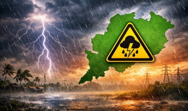
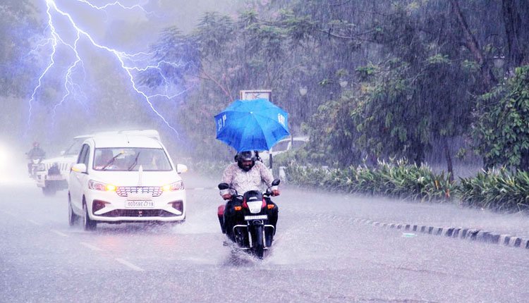
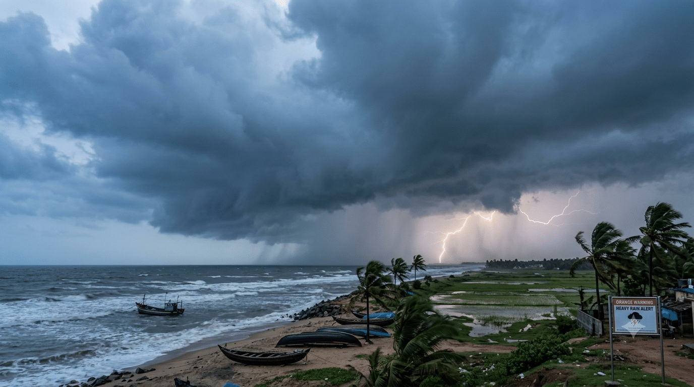
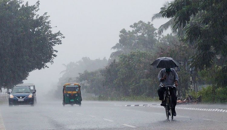
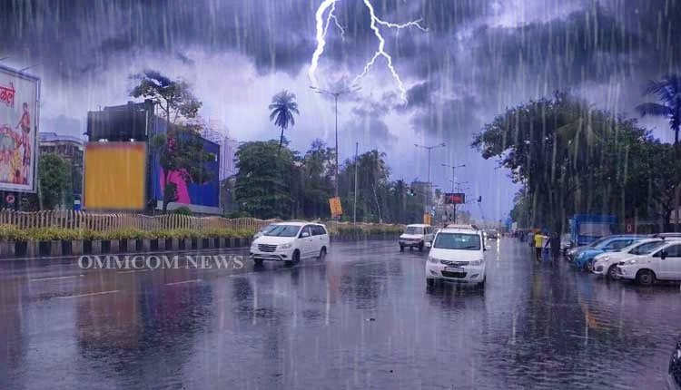
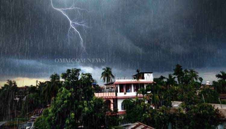
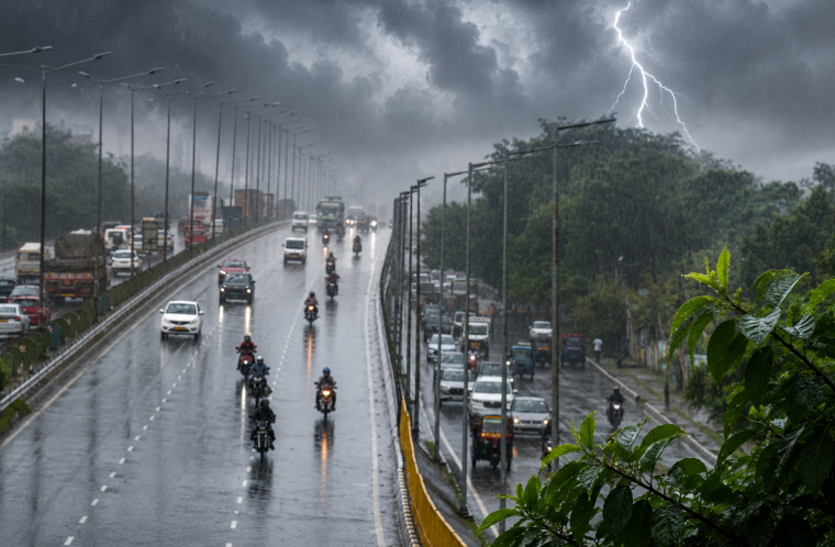
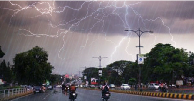
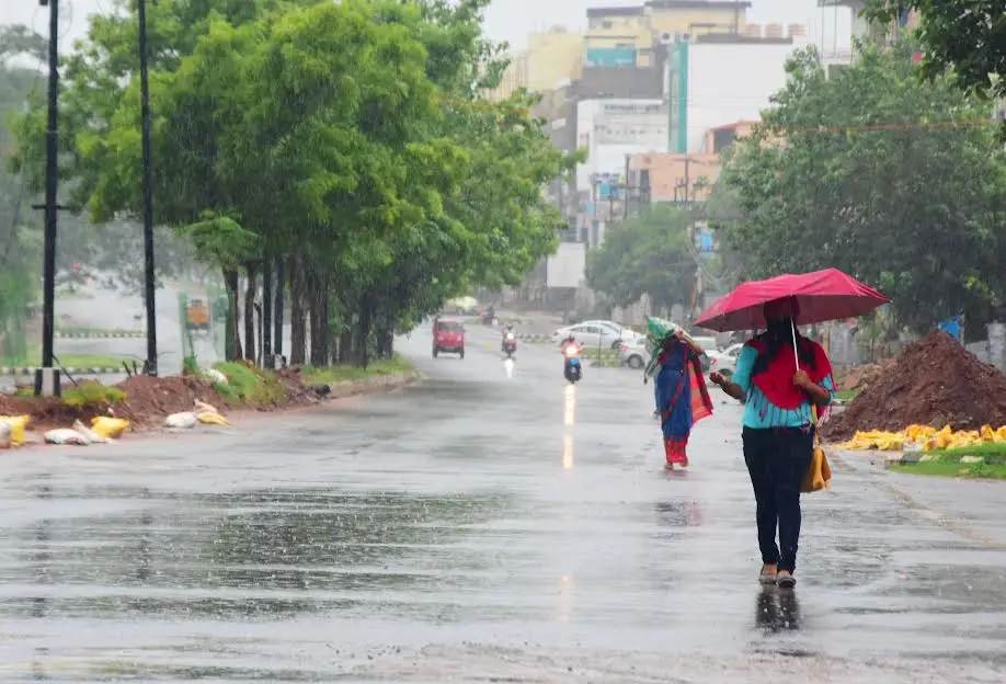
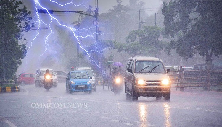
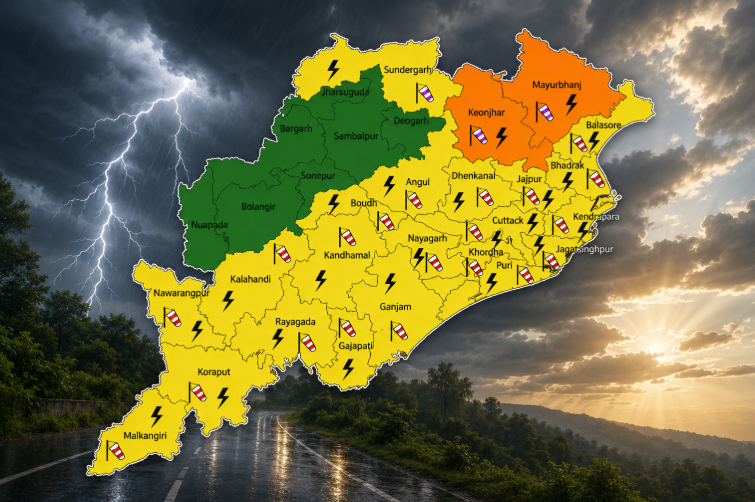
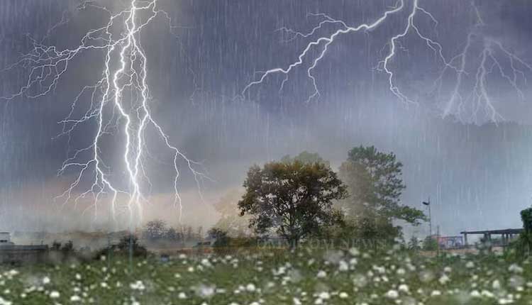
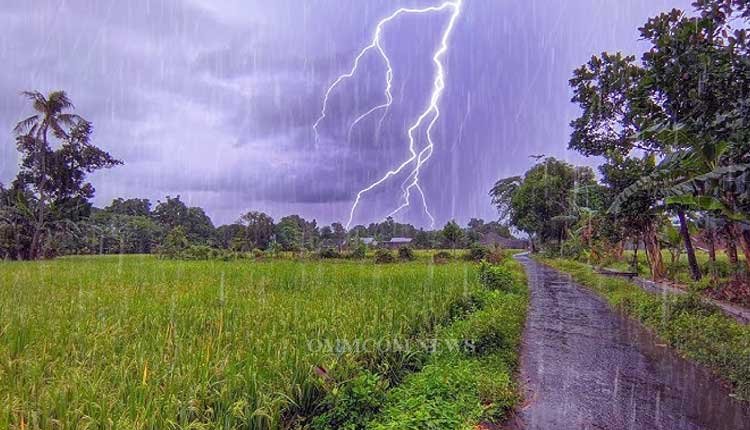
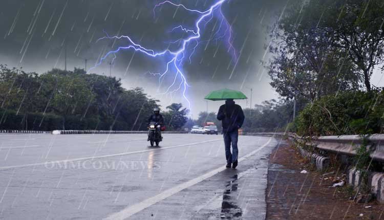
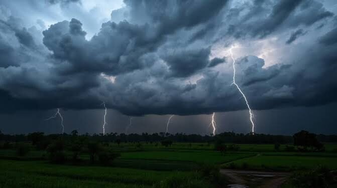
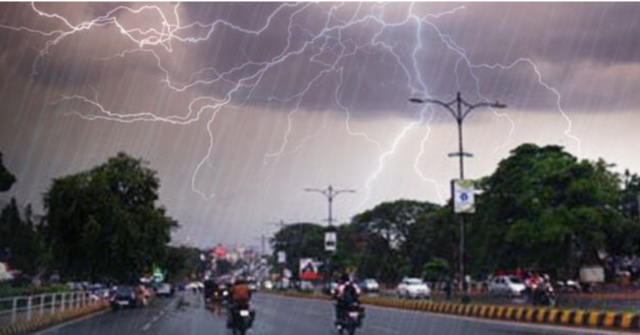
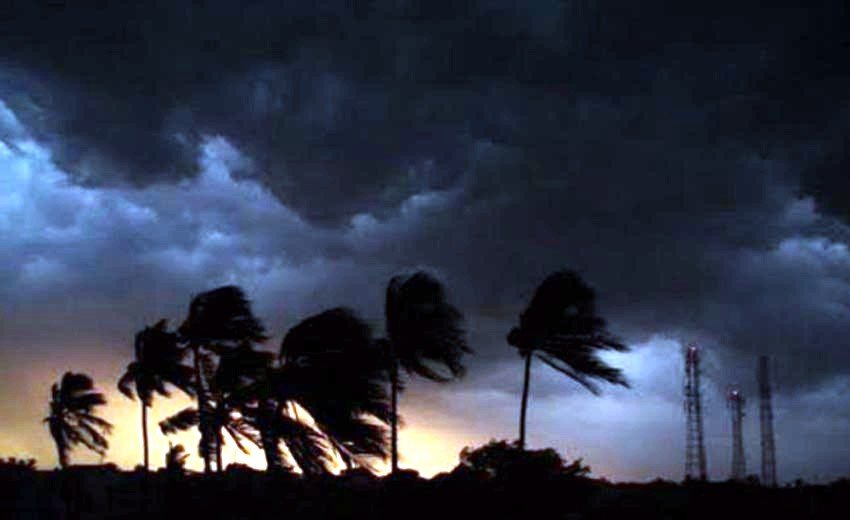
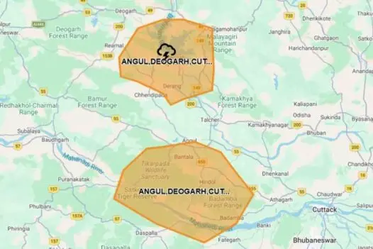
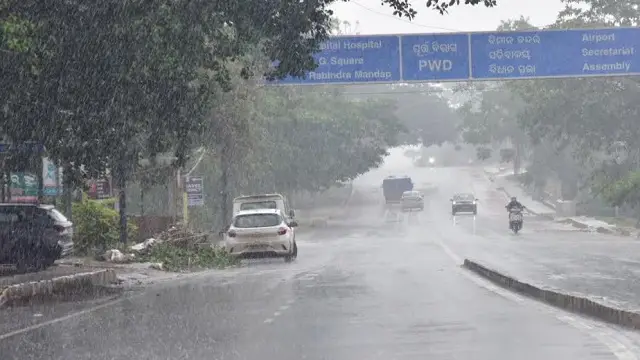
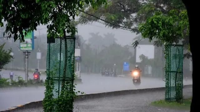
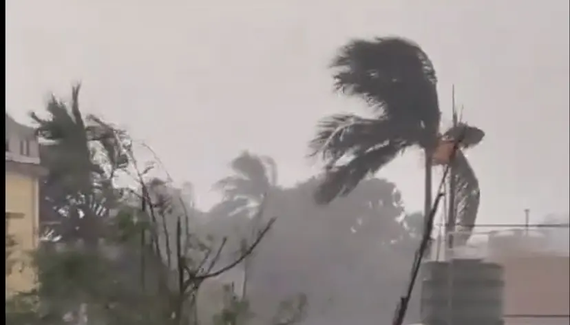
Odisha and Jharkhand are currently under alert for the potential of heavy to very heavy rain, thunderstorms, lightning, and gusty winds. Jharkhand is expected to receive widespread rainfall through August 30, with Odisha likely to experience similar conditions from August 27 to 30. Winds are anticipated at speeds of 30-40 km/h, gusting up to 50 km/h, potentially causing damage to weak structures, uprooting small trees, and impacting crops.
Central India is expected to experience the most consistent rainfall, with widespread rain in west Madhya Pradesh continuing until August 26, while east Madhya Pradesh may remain wet until August 29. Chhattisgarh is projected to see widespread rainfall until August 30, and Vidarbha may receive rain until August 28.
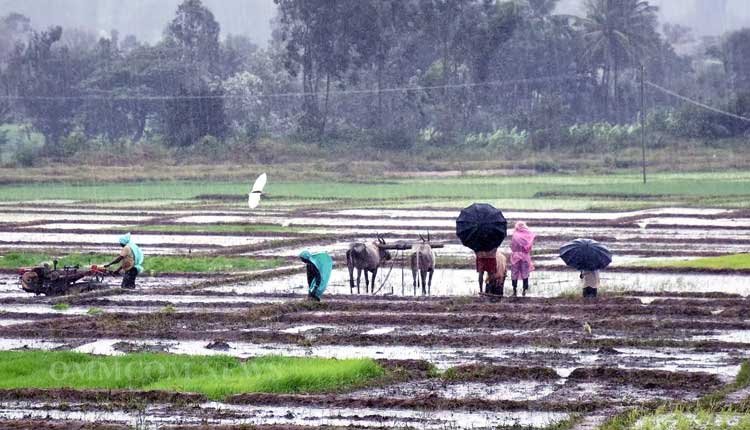
The IMD has issued warnings for isolated very heavy rain in Chhattisgarh and Madhya Pradesh, along with thunderstorms and lightning, which could disrupt transportation networks, mining activities, agricultural operations, and urban drainage systems. Heavy rainfall is defined by the IMD as 64.5-115.5 mm in 24 hours, very heavy rainfall as 115.6-204.4 mm, and extremely heavy rainfall as exceeding 204.4 mm.
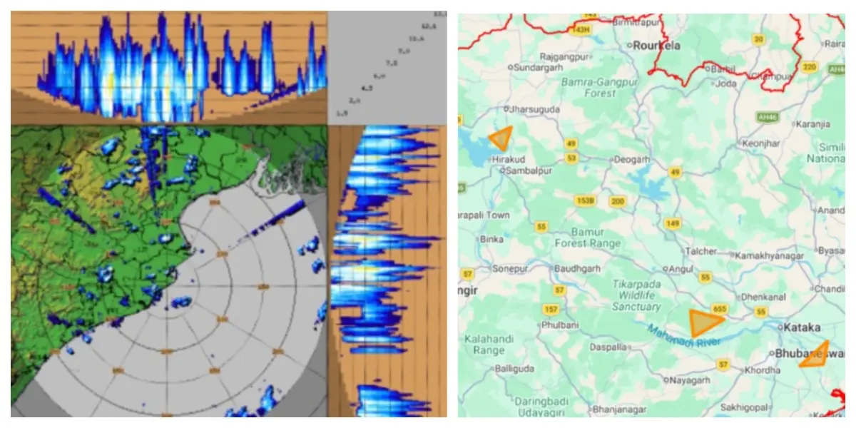
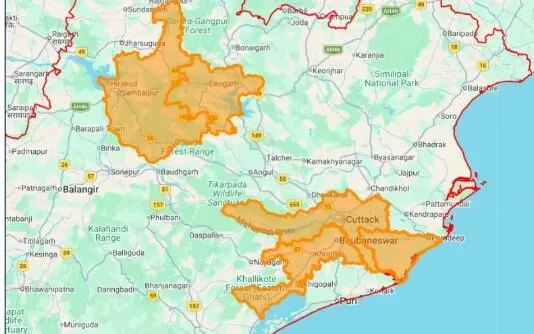
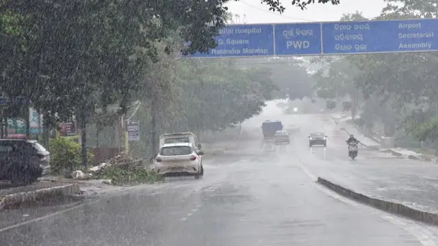
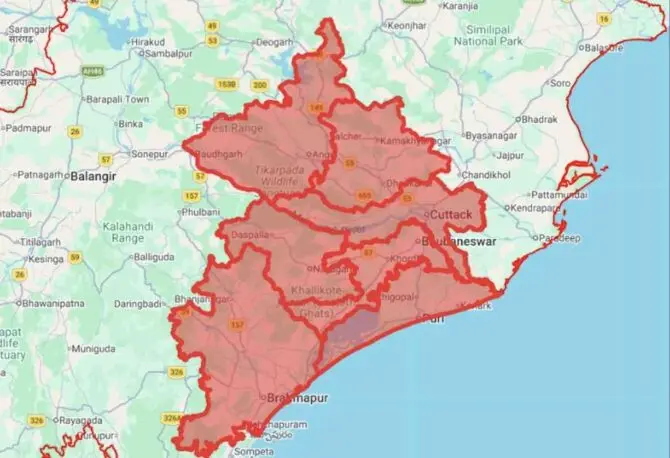
In terms of flash-flood risk, the IMD has identified a low to moderate risk across certain watersheds, particularly in regions with saturated soils and inadequate drainage. Vulnerable districts in Odisha include Balasore, Keonjhar, Mayurbhanj, Jajpur, Dhenkanal, Angul, Sundargarh, Jharsuguda, Deogarh, Sambalpur, Sonepur, and Bargarh. In Chhattisgarh, at-risk areas include Koriya, Surajpur, Surguja, Jashpur, Korba, Bilaspur, Raigarh, Janjgir, Baloda Bazar, Mahasamund, Mungeli, Kabirdham, and Rajnandgaon. In east Madhya Pradesh, districts such as Balaghat, Dindori, Mandla, Anuppur, Katni, Shahdol, Rewa, Sidhi, Umaria, Satna, and Singrauli are also at risk of localized flooding and runoff.
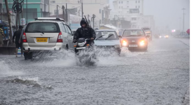
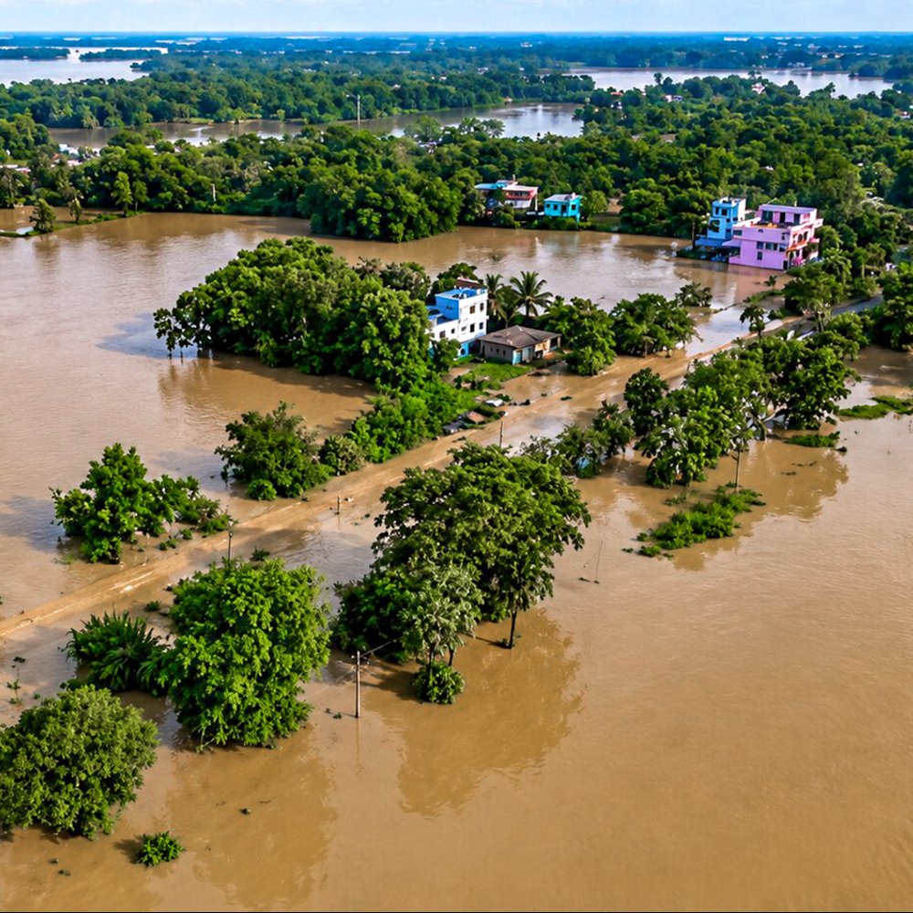
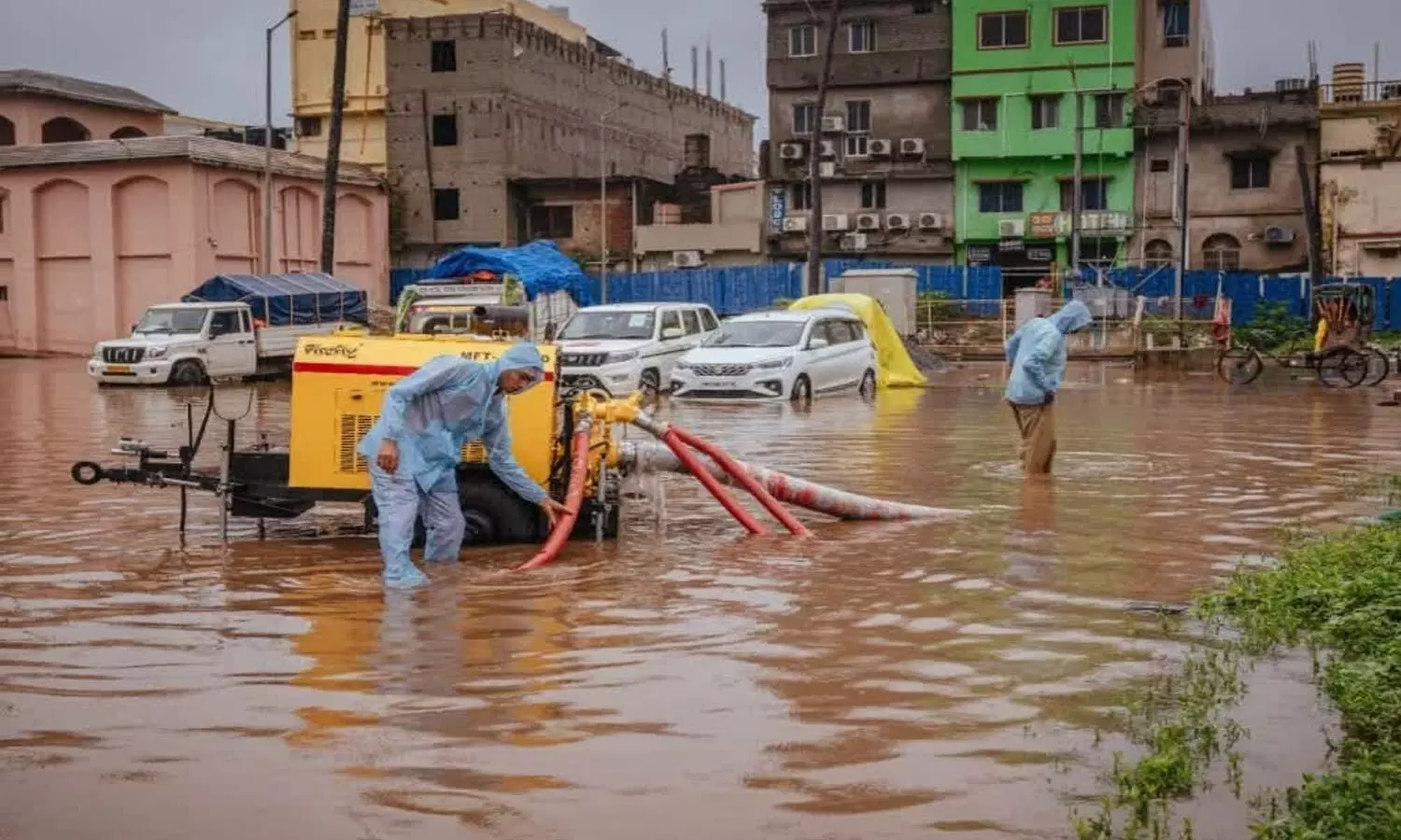
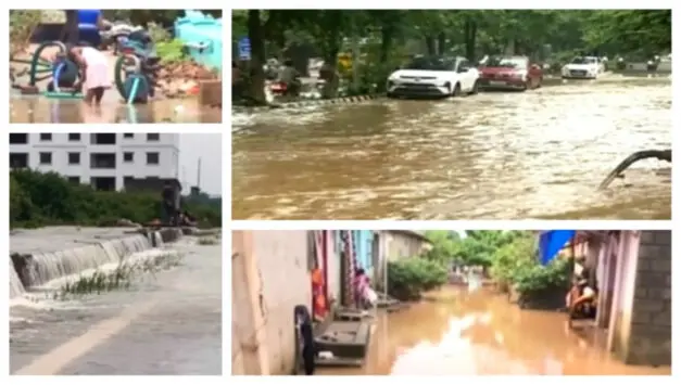
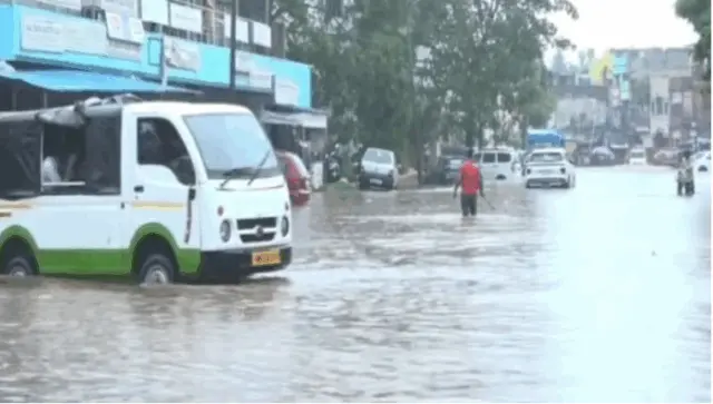
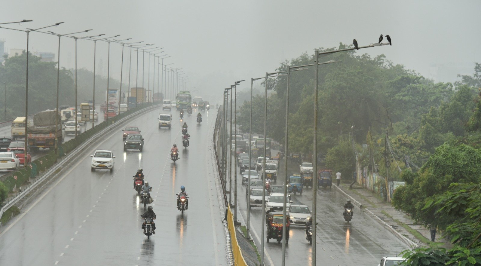
The primary concern extends beyond river overflow; intense rainfall can lead to rapid surface runoff, inundate low-lying regions, overwhelm drainage systems, and flood roadways, particularly in areas already saturated from previous monsoon rains.
Infrastructure challenges associated with heavy rainfall may disrupt transportation, reduce visibility, and damage susceptible structures. Low-lying urban areas are likely to experience flooding, while hilly regions may face landslides, mudslides, erosion, and road blockages.