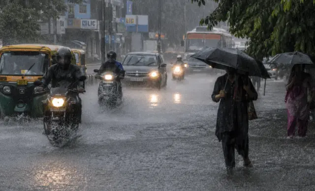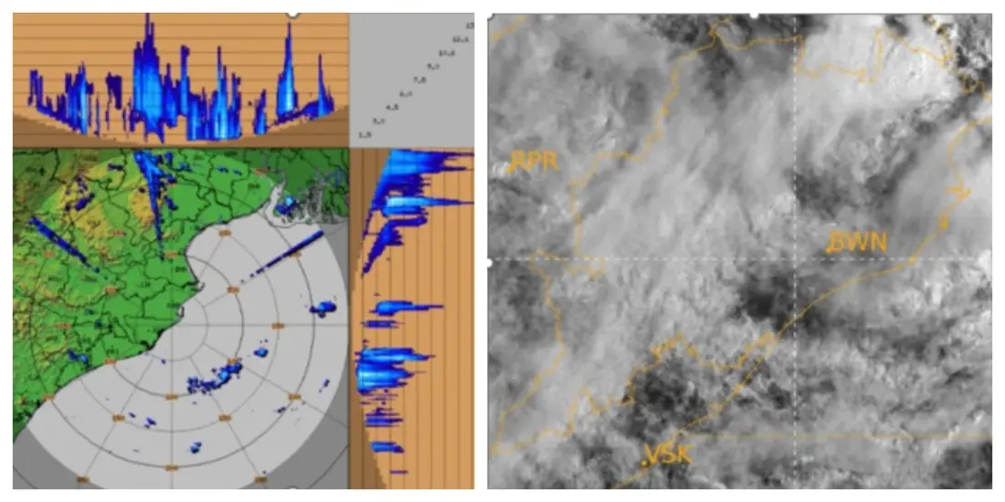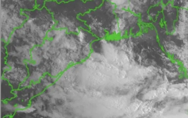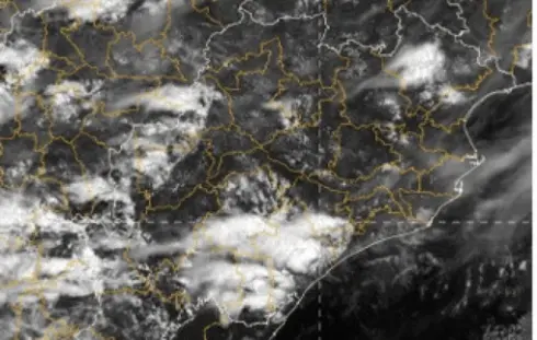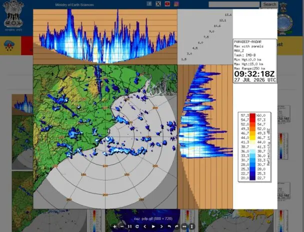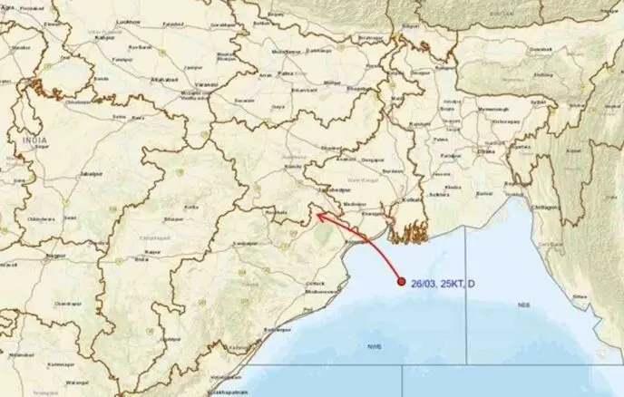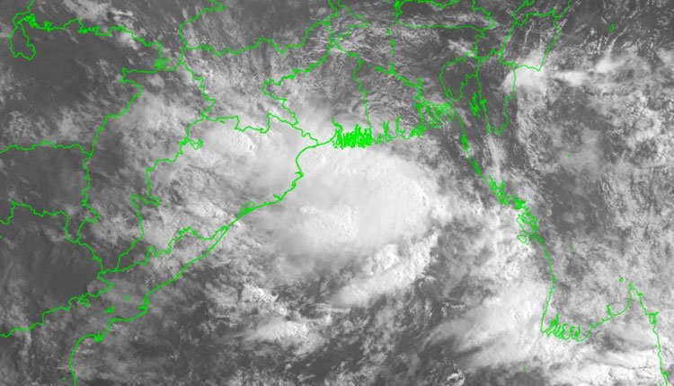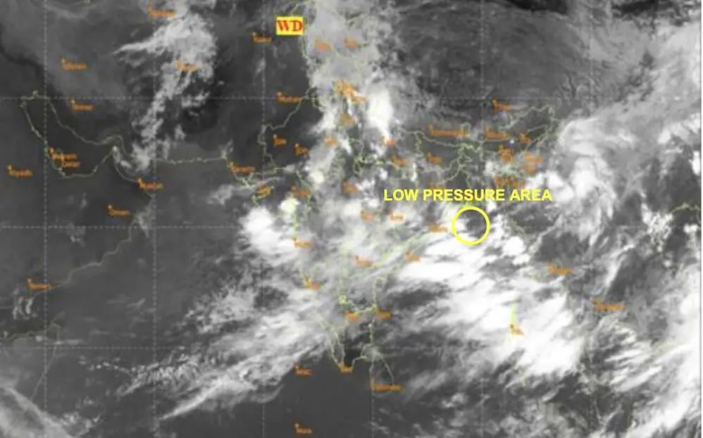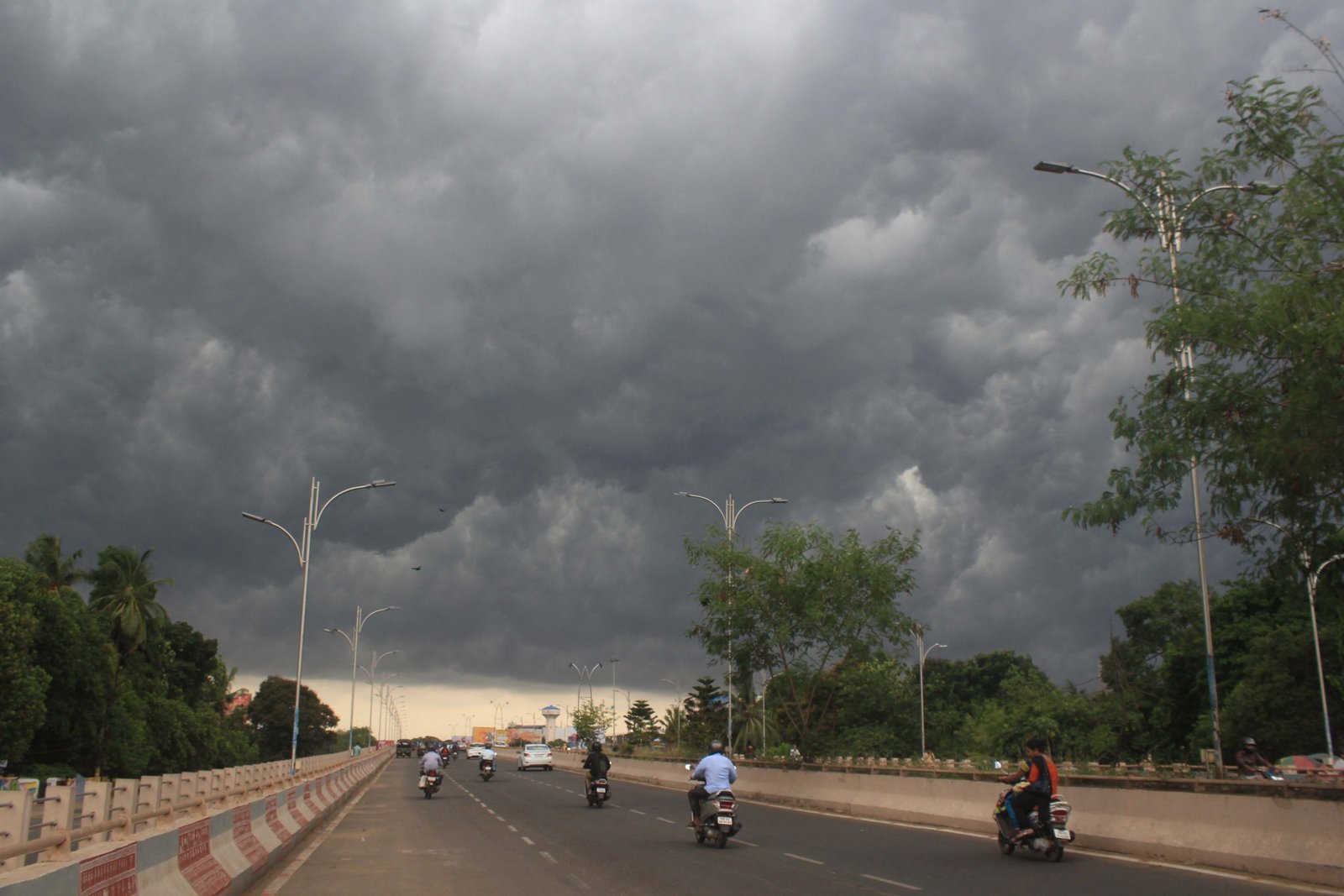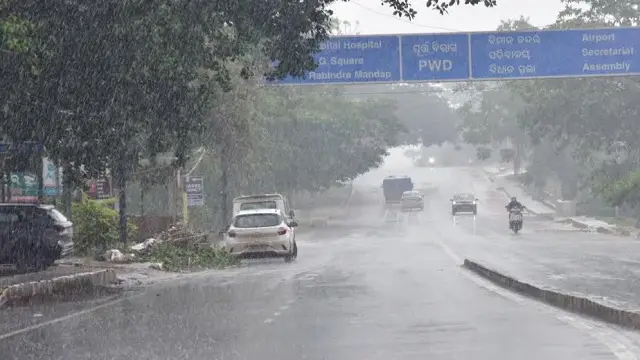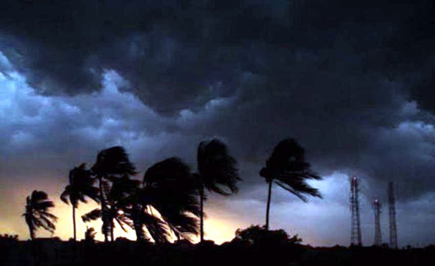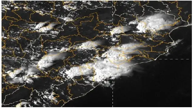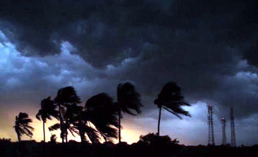

Bhubaneswar: On Monday, the India Meteorological Department (IMD) announced a Red Warning for extremely heavy rainfall across three districts in Odisha. This comes as a Deep Depression situated over the northwest Bay of Bengal and nearby West Bengal-North Odisha coast is progressing slowly northward, anticipated to reach the coast between Balasore and Canning by this afternoon.
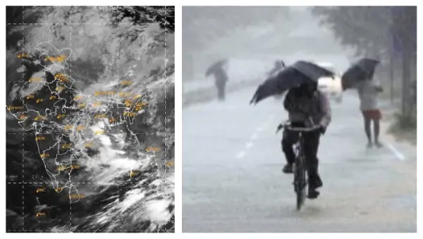
As per the IMD’s midday weather update, the Deep Depression was reported at 8:30 am, located at latitude 21.4°N and longitude 88.1°E over the northwest Bay of Bengal. It was approximately 120 km east-southeast of Balasore, 30 km south of Sagar Island, 70 km east-southeast of Digha, 90 km south of Diamond Harbour, and 110 km south-southwest of Canning. The system is expected to continue moving nearly north-northwestward before making landfall today.
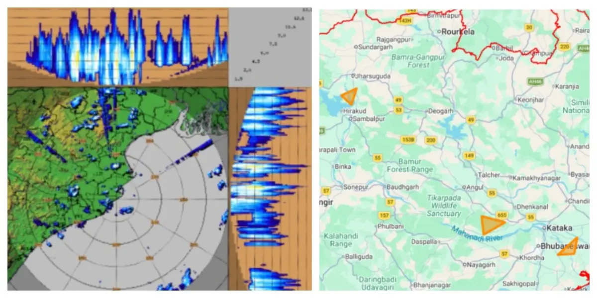
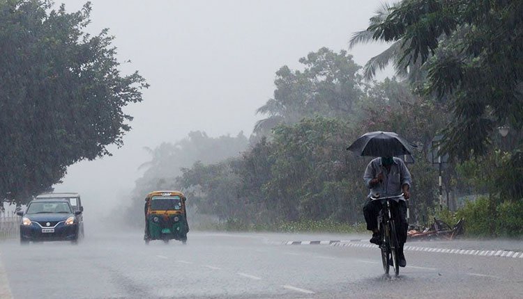
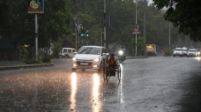
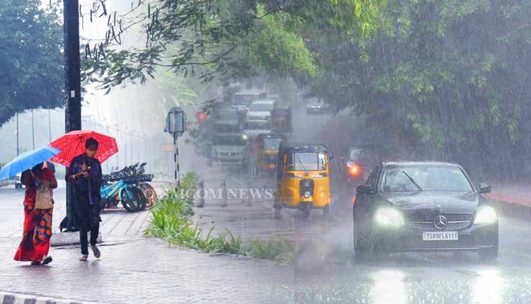
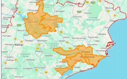
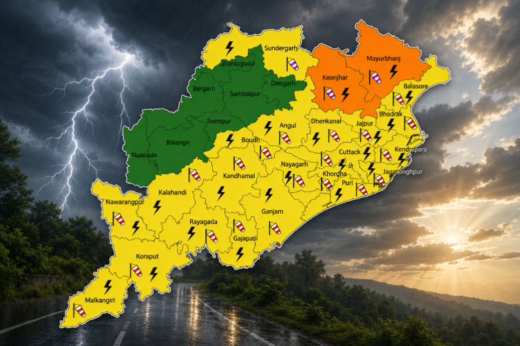
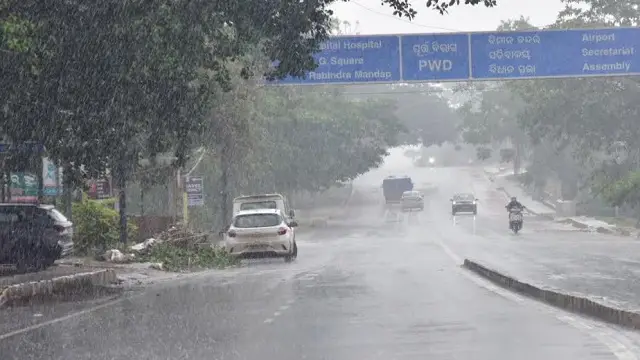
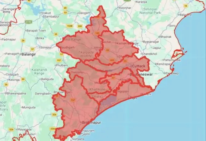
The IMD predicts light to moderate rainfall or thundershowers across most of Odisha in the next 24 hours. A Red Warning has been issued specifically for the districts of Sundargada, Kendujhar, and Mayurbhanj, where heavy to very heavy rainfall, along with isolated instances of extremely heavy rain, is anticipated.
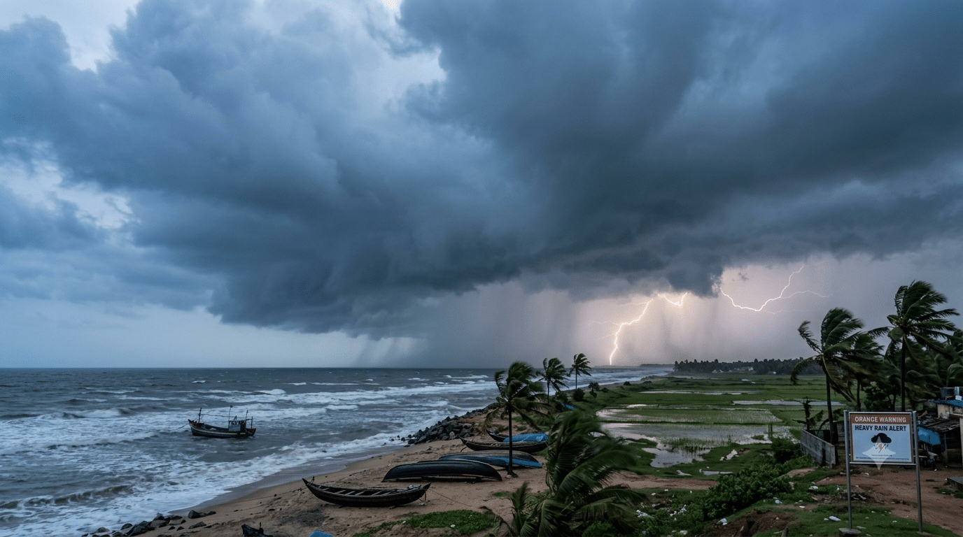
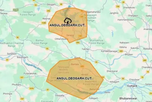
An Orange Warning is also in effect for districts including Baleshwar, Bhadrak, Jajpur, Kendrapada, Jagatsinghpur, Cuttack, Jharsuguda, Bargarh, Sambalpur, Deogarh, Angul, Dhenkanal, Subarnapur, Boudh, Nuapada, Balangir, Kalahandi, Kandhamal, and Nabarangpur, signaling the likelihood of heavy to very heavy rainfall. Isolated thunderstorms with lightning and strong winds of 50-60 kmph are expected in areas such as Baleshwar, Bhadrak, Jajpur, Kendrapada, Jagatsinghpur, Cuttack, Angul, Dhenkanal, Kendujhar, and Mayurbhanj.
A Yellow Warning has been issued for Rayagada, Koraput, Malkangiri, Gajapati, Ganjam, Puri, Khordha, and Nayagarh districts, indicating heavy rainfall. Thunderstorms with lightning and winds of 40-50 kmph are also likely in isolated regions across various districts, including Sundargarh, Jharsuguda, Bargarh, Sambalpur, Deogarh, Subarnapur, Boudh, Nuapada, Balangir, Kalahandi, Kandhamal, Nabarangpur, Rayagada, Koraput, Malkangiri, Gajapati, Ganjam, Puri, Khordha, and Nayagarh.
The IMD forecasts that while heavy rainfall activity will start to diminish after Tuesday, isolated heavy rain and thunderstorms may persist in some areas of the state over the next week. Yellow warnings for thunderstorms will remain active in multiple districts throughout the week, with additional heavy rainfall warnings set for Kendujhar and Mayurbhanj on August 1-2, and for Sundargarh, Kendujhar, and Mayurbhanj on August 2-3.
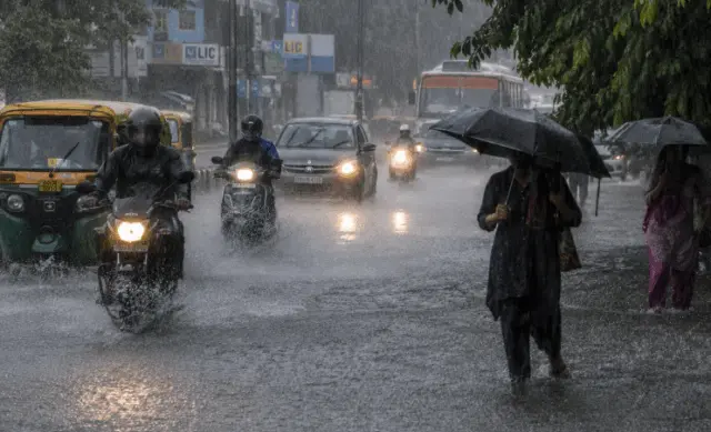
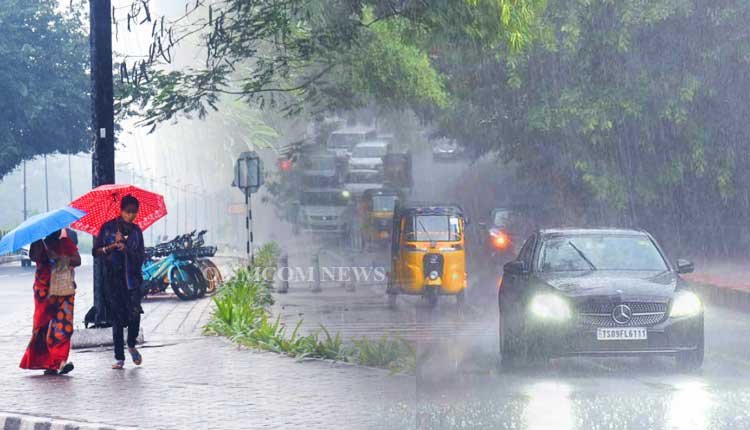
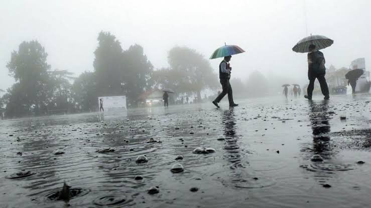
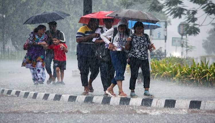
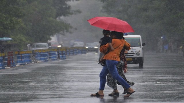
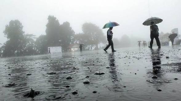
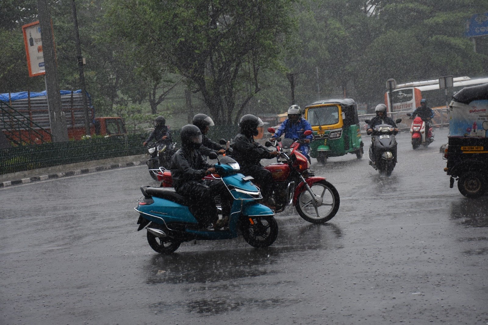
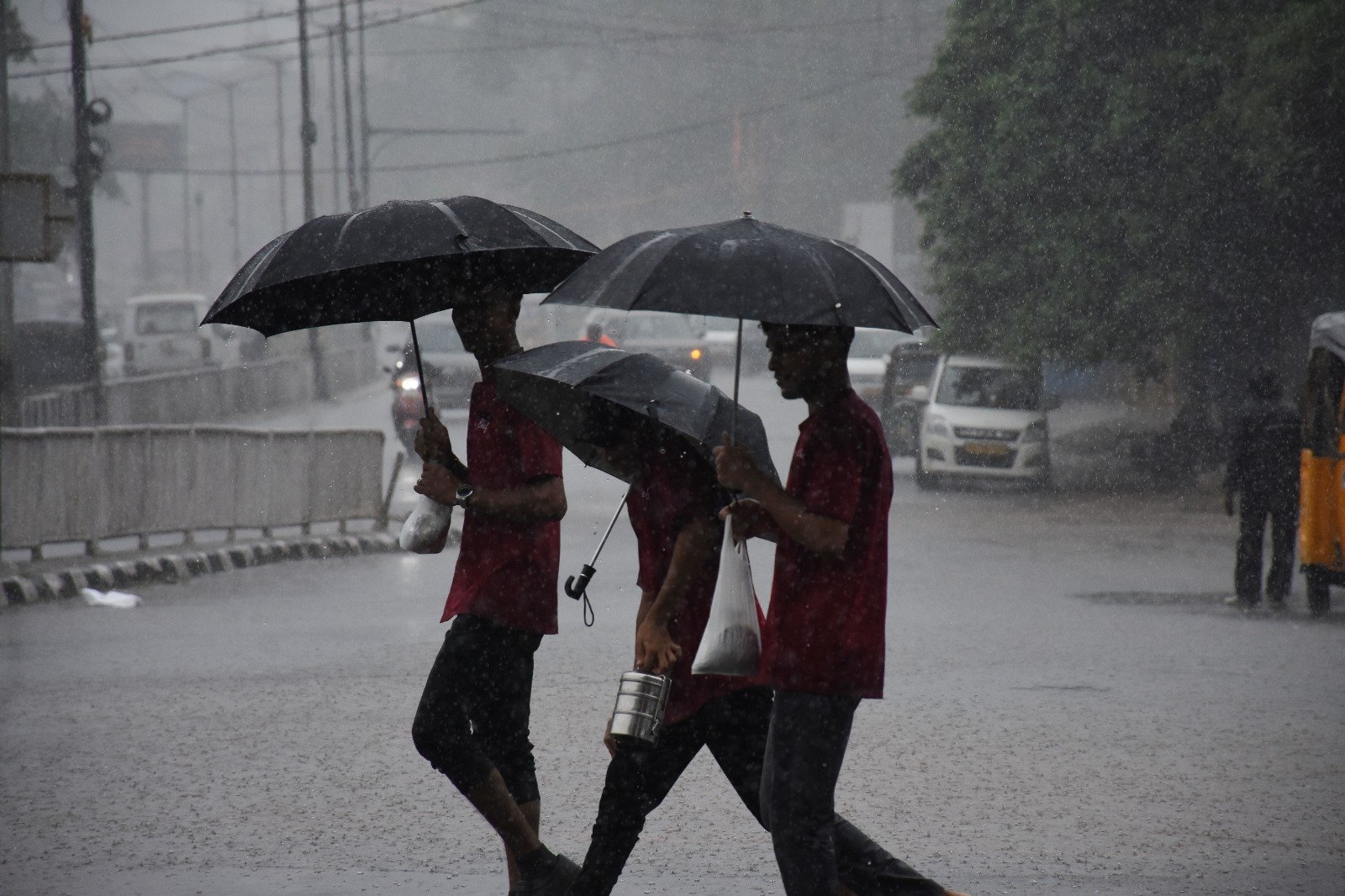
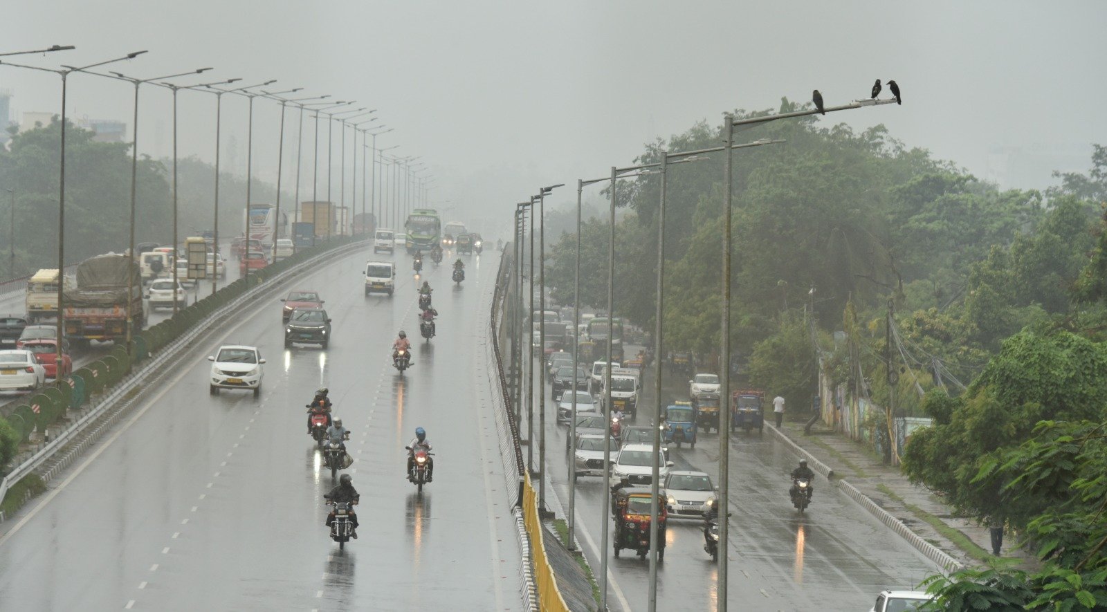
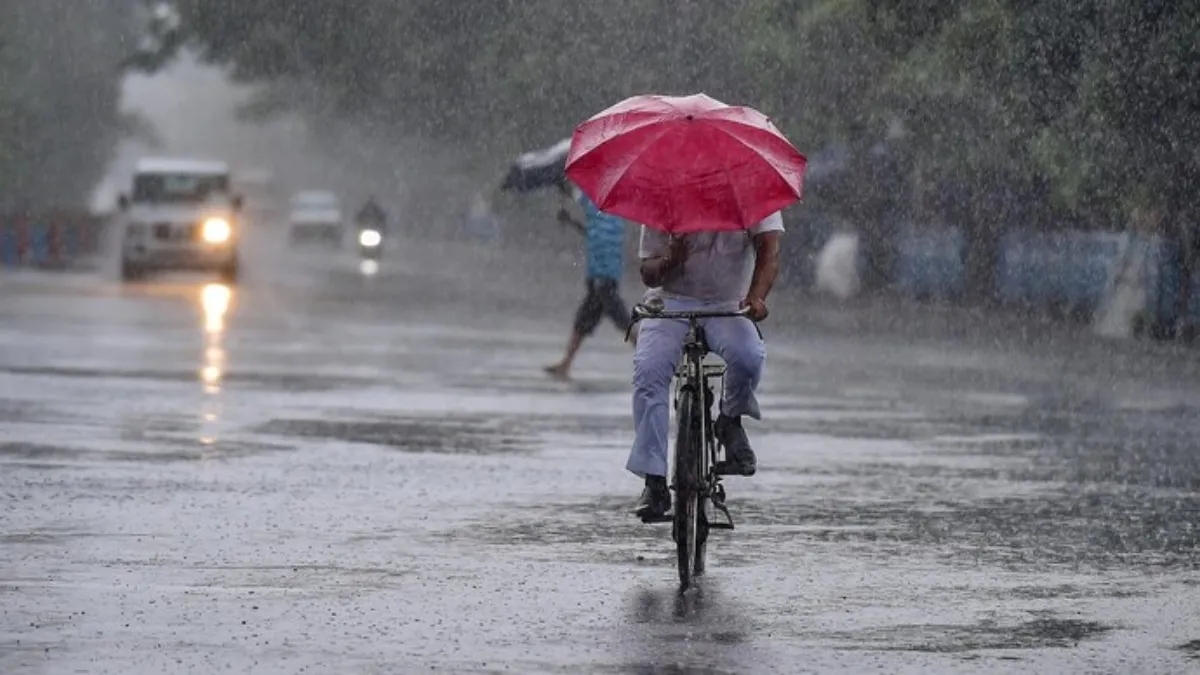
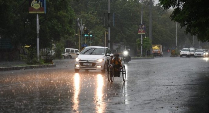
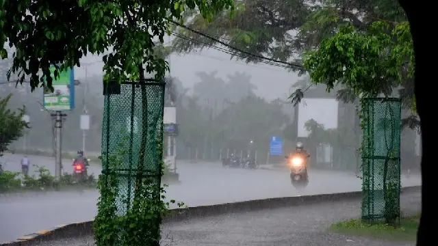
Officials have raised concerns that the anticipated heavy rainfall could result in waterlogging in low-lying regions, localized flooding, disruption of traffic, minor damage to vulnerable structures and crops, as well as potential landslides in at-risk areas. Residents are urged to avoid flooded areas, remain indoors during thunderstorms, and adhere to official weather advisories.
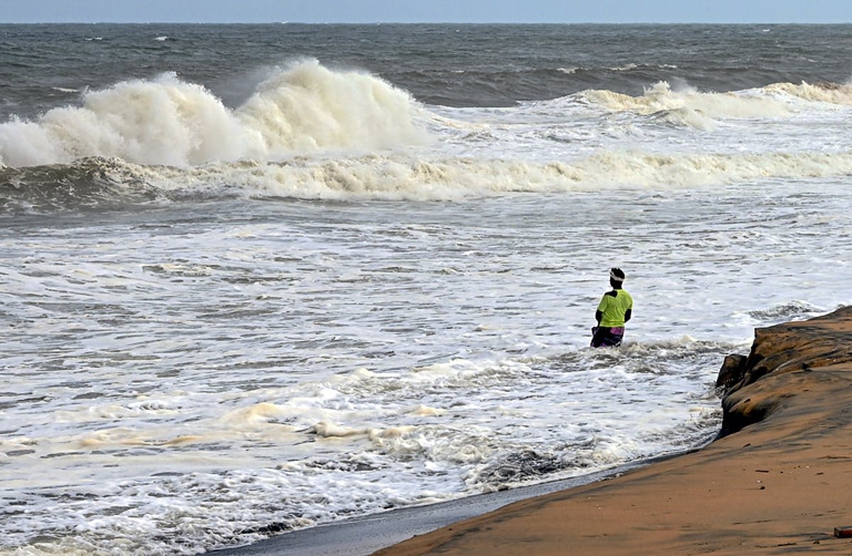
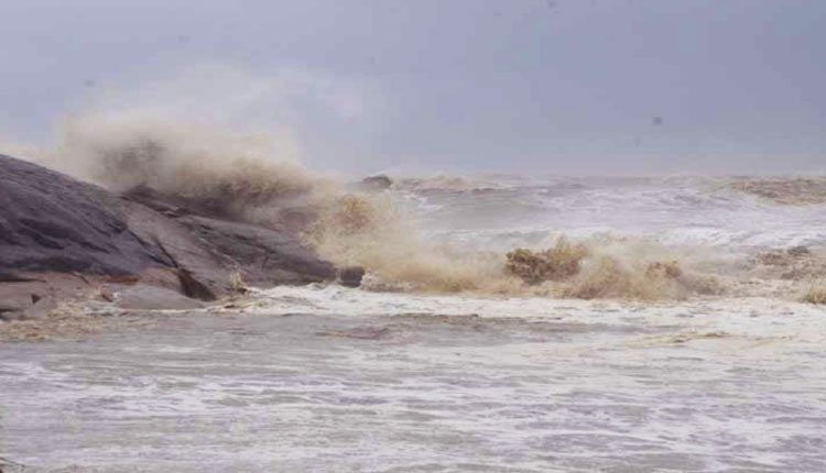
Additionally, rough weather conditions with winds of 40-50 kmph, and gusts reaching up to 60 kmph, are predicted along and off the Odisha coast until July 29. The sea conditions are expected to be rough to very rough, prompting fishermen to refrain from venturing into the sea in these regions until July 29.