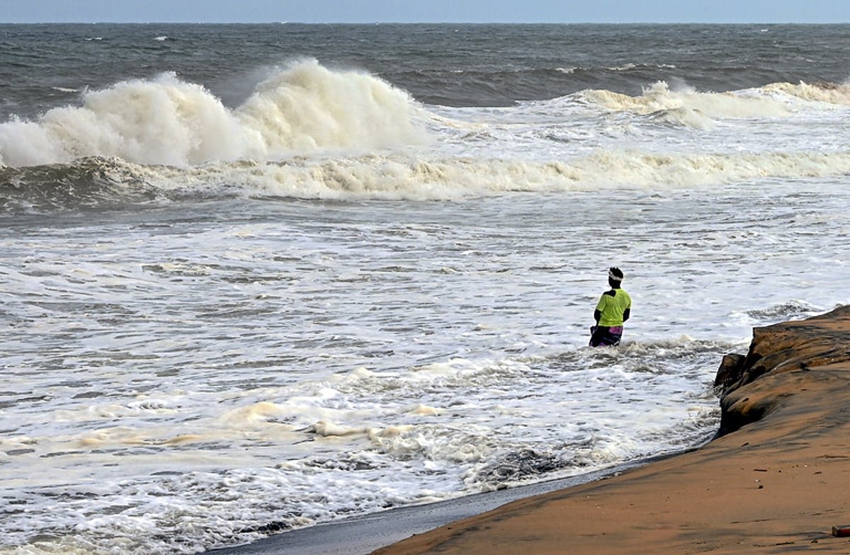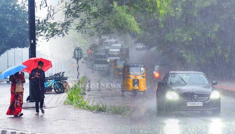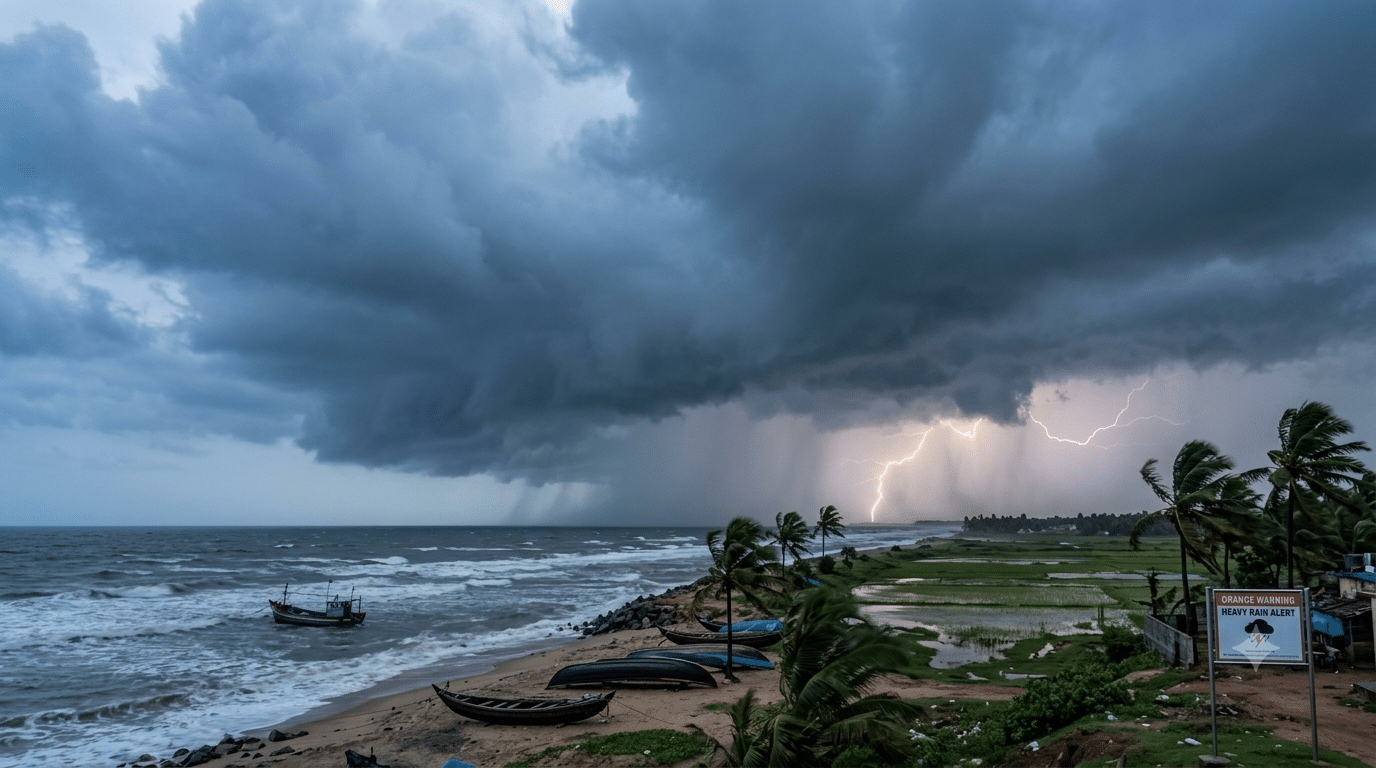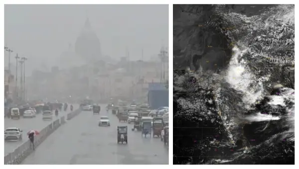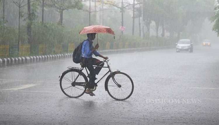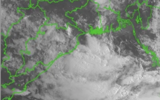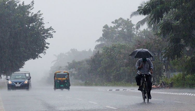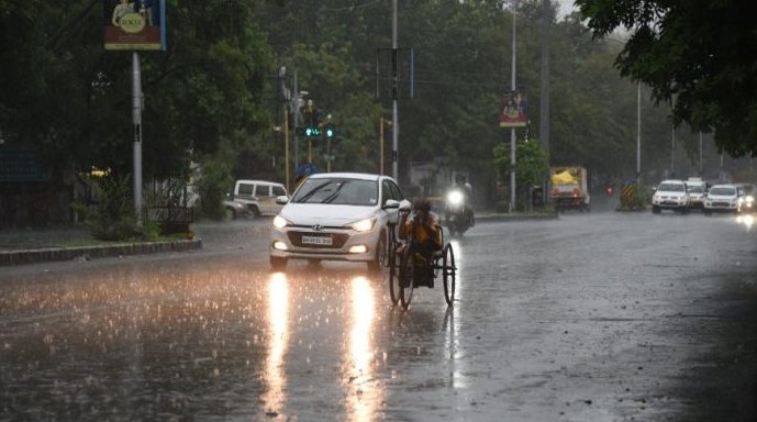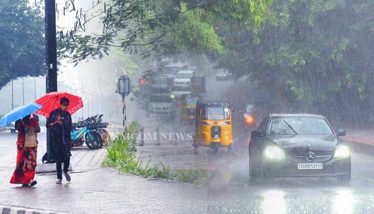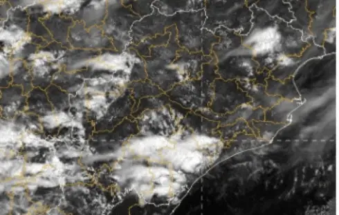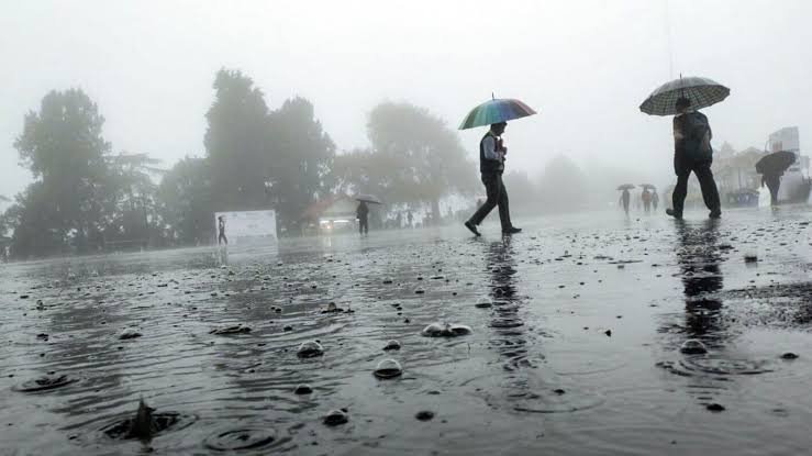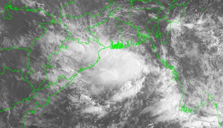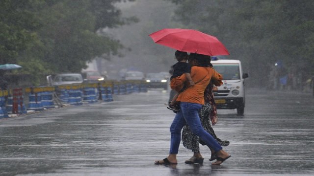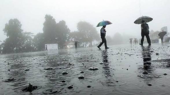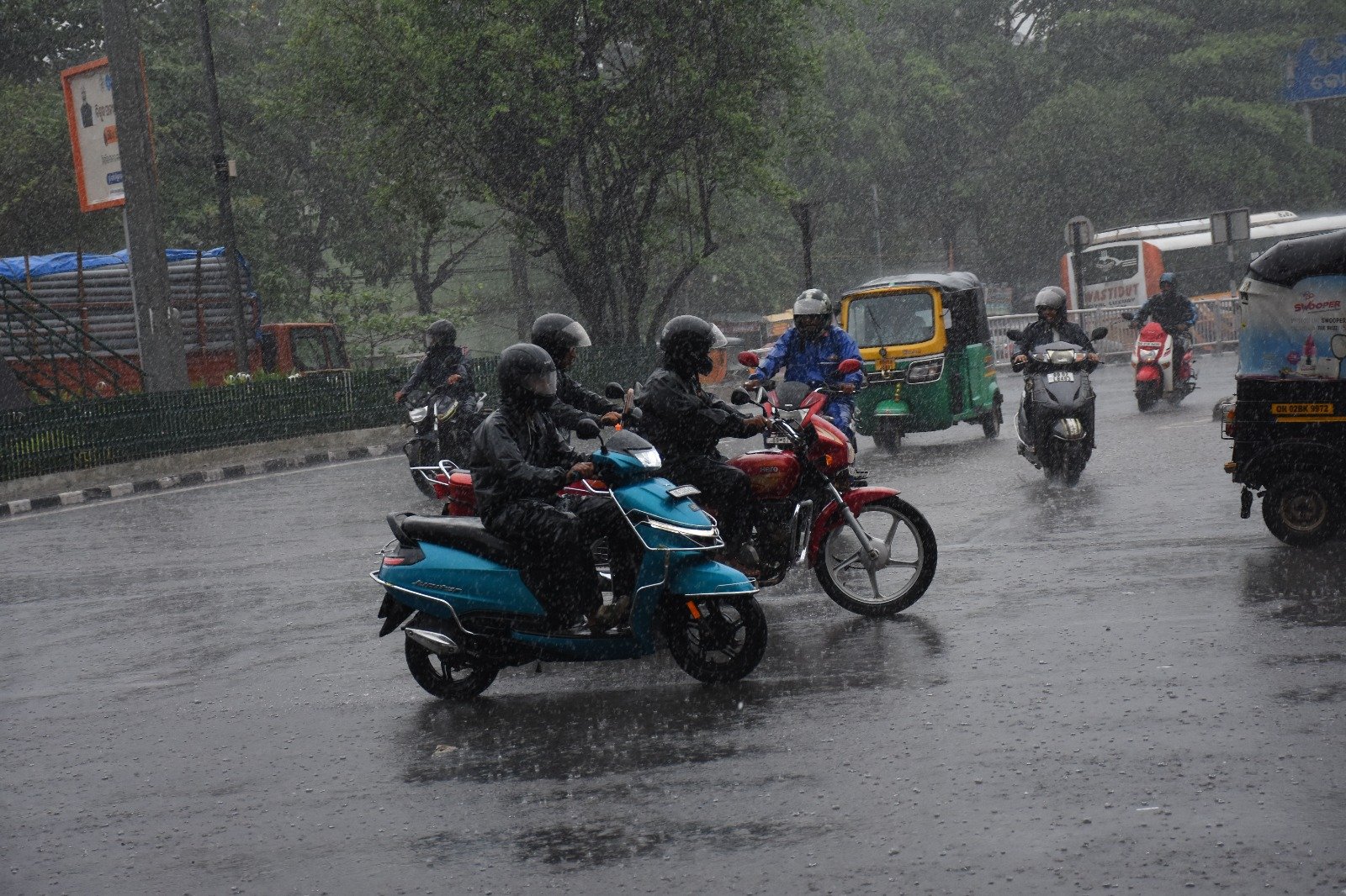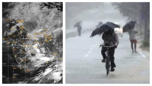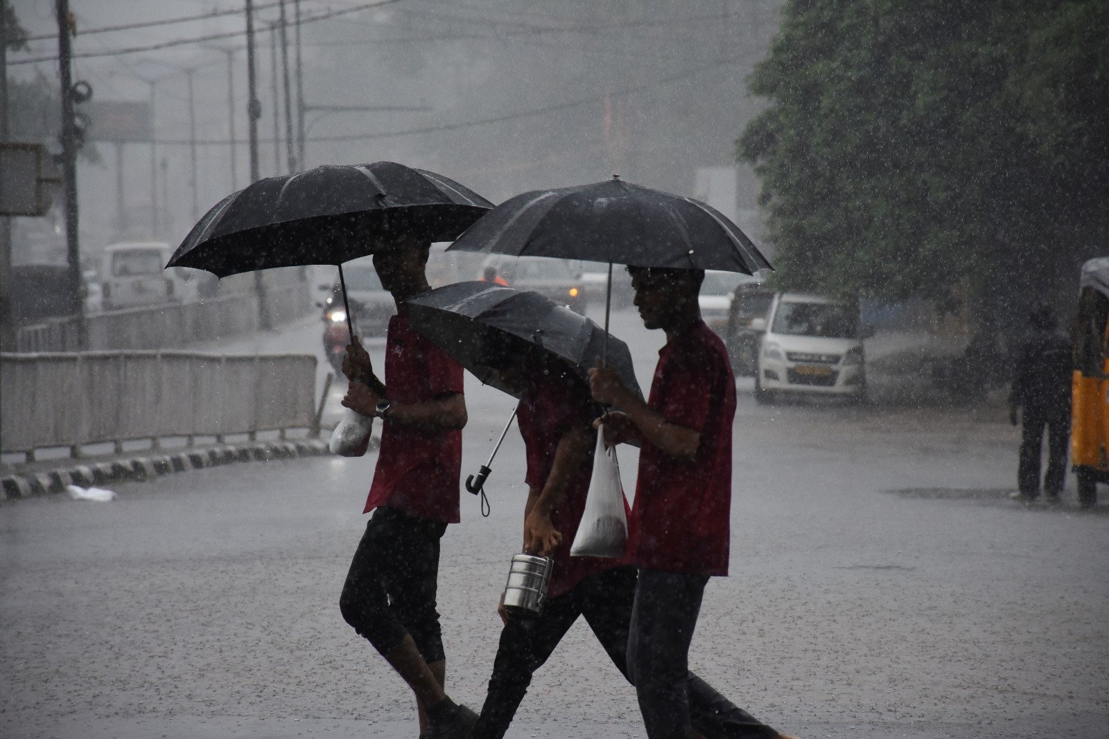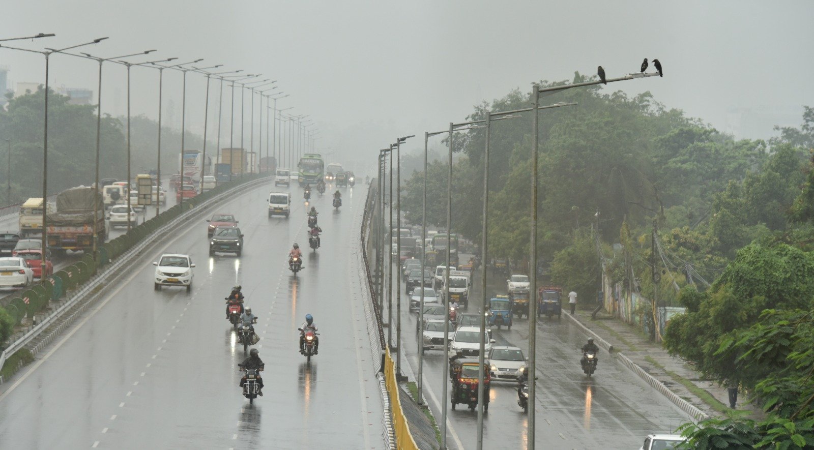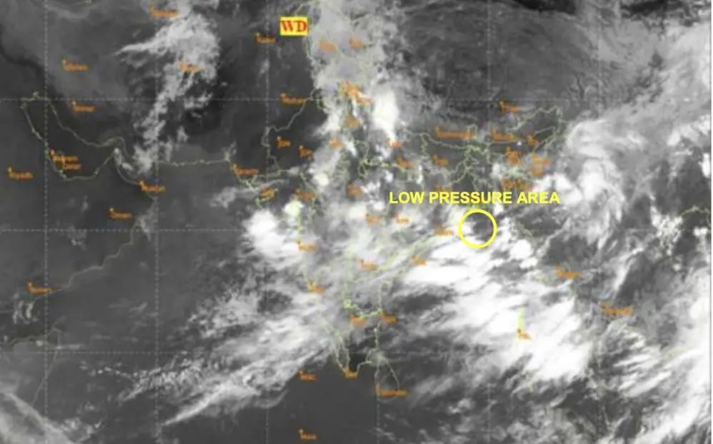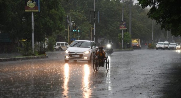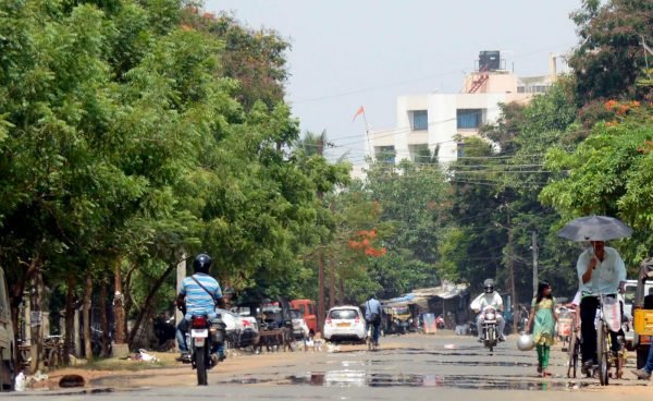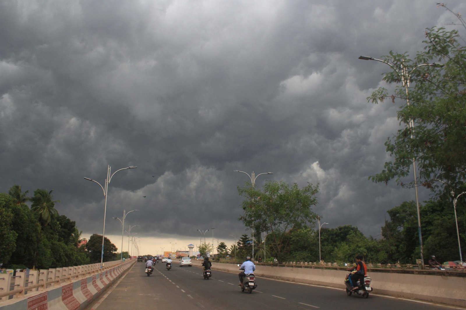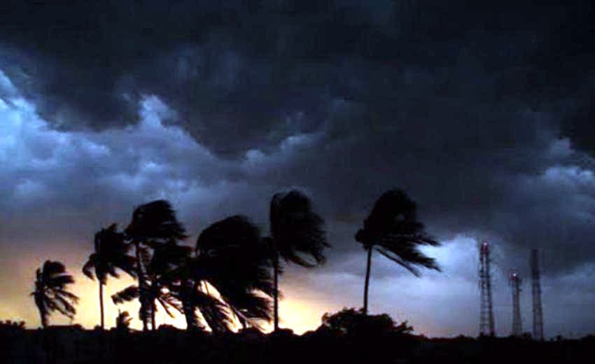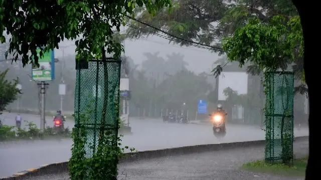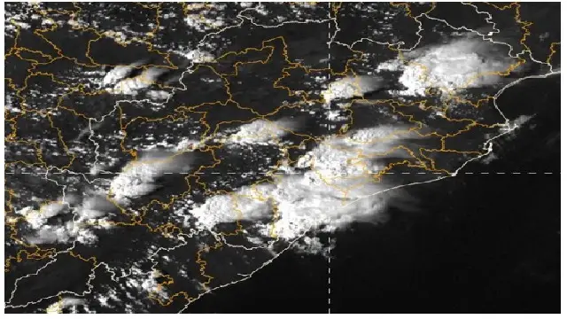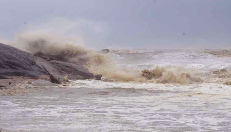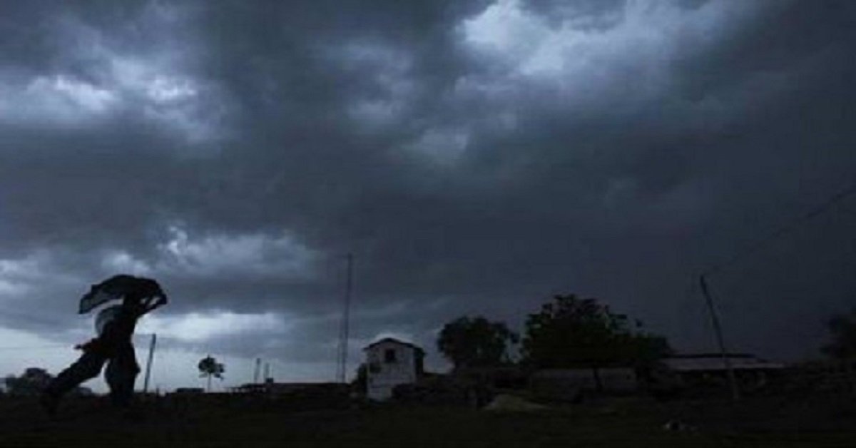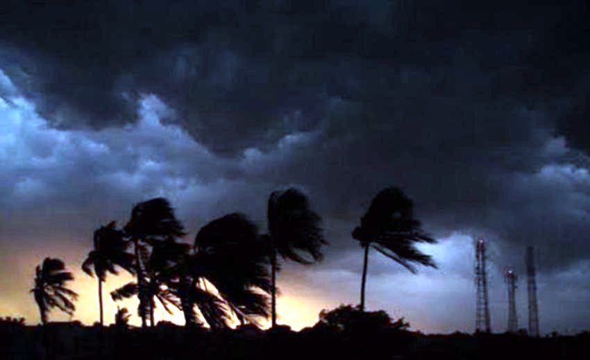

The state is currently experiencing overcast conditions accompanied by light to moderate rainfall in certain areas. While no significant cyclonic activity is predicted until September 10, a system from the South China Sea is projected to move into the Bay of Bengal, potentially evolving into a low-pressure area over the Andaman Sea.
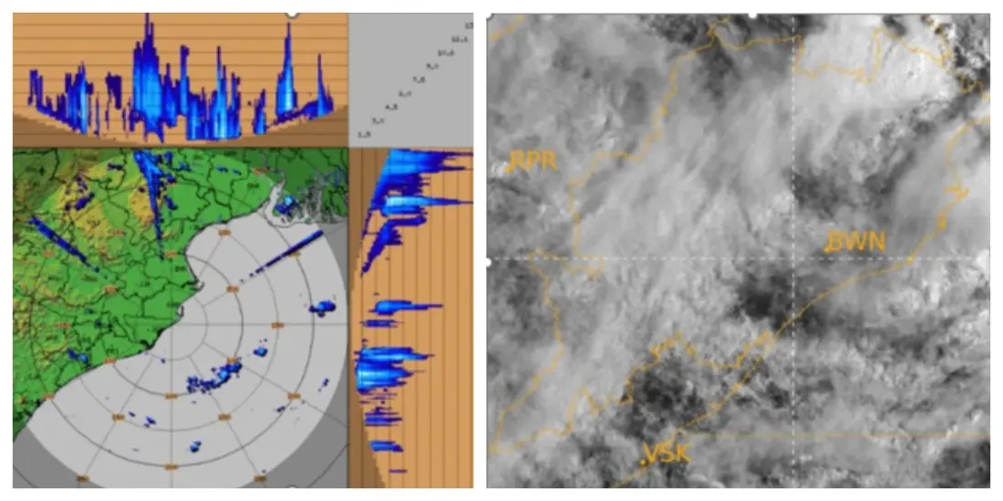
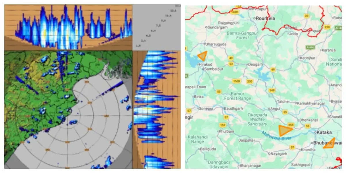
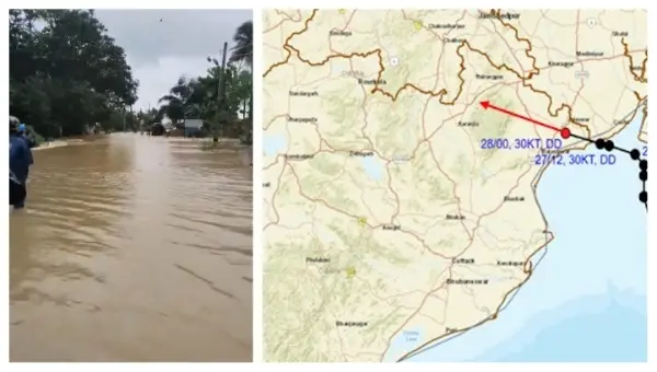
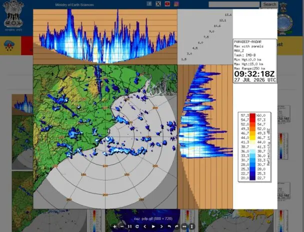
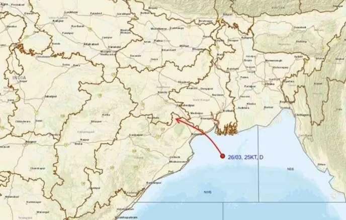
The India Meteorological Department (IMD) has indicated that a well-defined low-pressure system is actively functioning over Gangetic West Bengal, northern coastal Odisha, and the northwestern Bay of Bengal, progressing in a west-northwest direction. On Tuesday, Bangiriposi in Mayurbhanj recorded an impressive 31 cm of rainfall, and over ten sites in Mayurbhanj received more than 10 cm. Significant rainfall was also reported in Sundargarh, Jharsuguda, and Keonjhar.
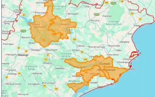
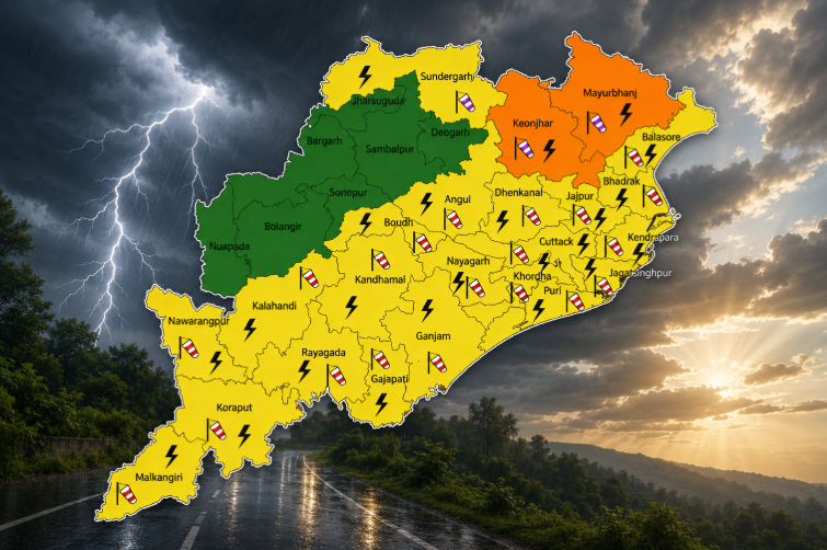
Warnings have been issued for Wednesday, with yellow alerts in effect for the districts of Sundargarh, Jharsuguda, and Baragada. Starting Thursday, no districts are under a heavy rainfall warning, but light rain accompanied by thunderstorms and lightning is anticipated throughout Odisha.
Officials have stressed that the developing system has the potential to bring heavy to very heavy rainfall across northern, southern, and coastal regions of Odisha once the new low-pressure area forms in the middle of the month.