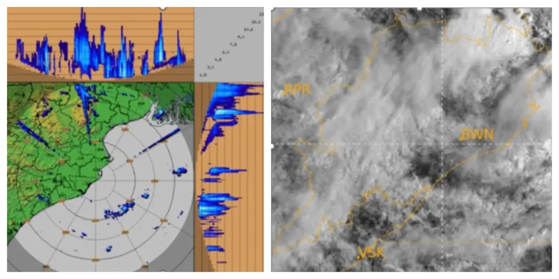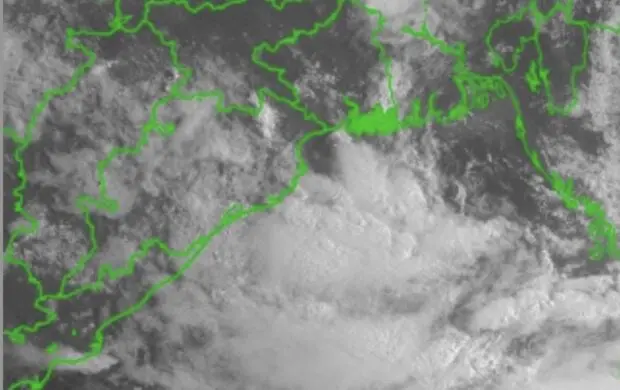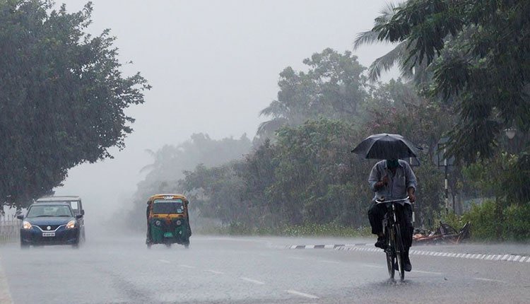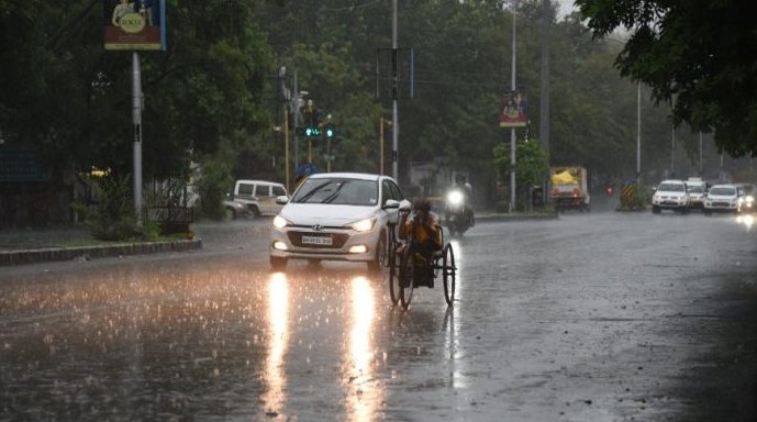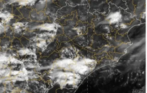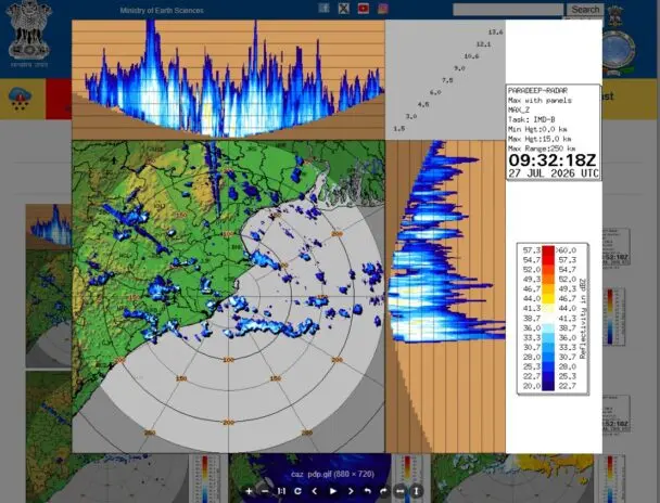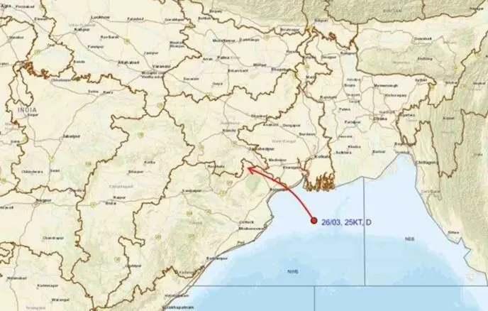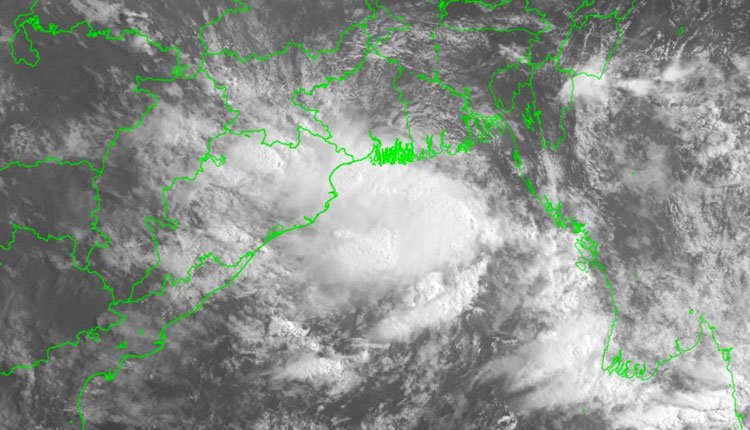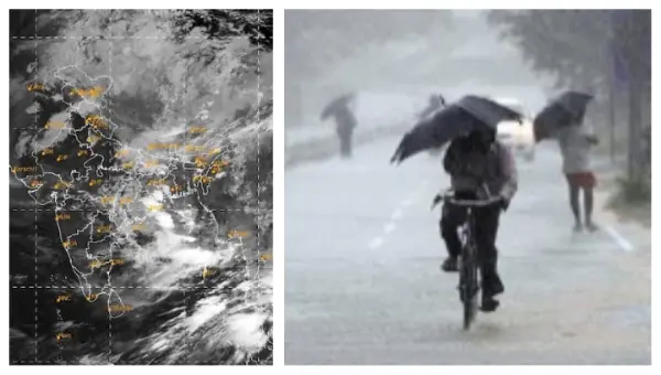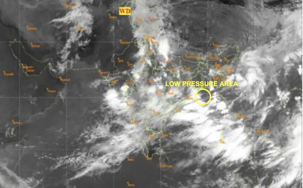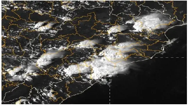

A deep depression forming over the northwest Bay of Bengal is heading towards the coastline of West Bengal and northern Odisha, with landfall anticipated early Tuesday morning. This weather system will bring increased rainfall, powerful winds, and turbulent seas.
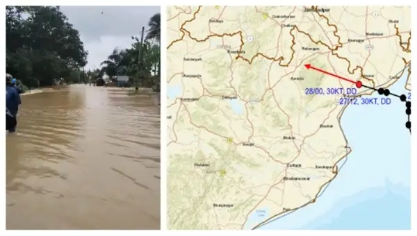
As of 5:30 PM on Monday, the depression was situated approximately 40 km south-southeast of Sagar Island, 20 km east-southeast of Digha, and 60 km east of Balasore. It has been advancing northward at a speed of around 3 km per hour for the last six hours.
Meteorologists predict that the depression will maintain its northward trajectory, skirting Sagar Island and making landfall near Haldia, between Balasore and Canning, on the morning of July 28. The monsoon trough, which currently runs through the center of this system, extends towards the northeast Bay of Bengal, contributing to widespread heavy rainfall along the coastal areas.
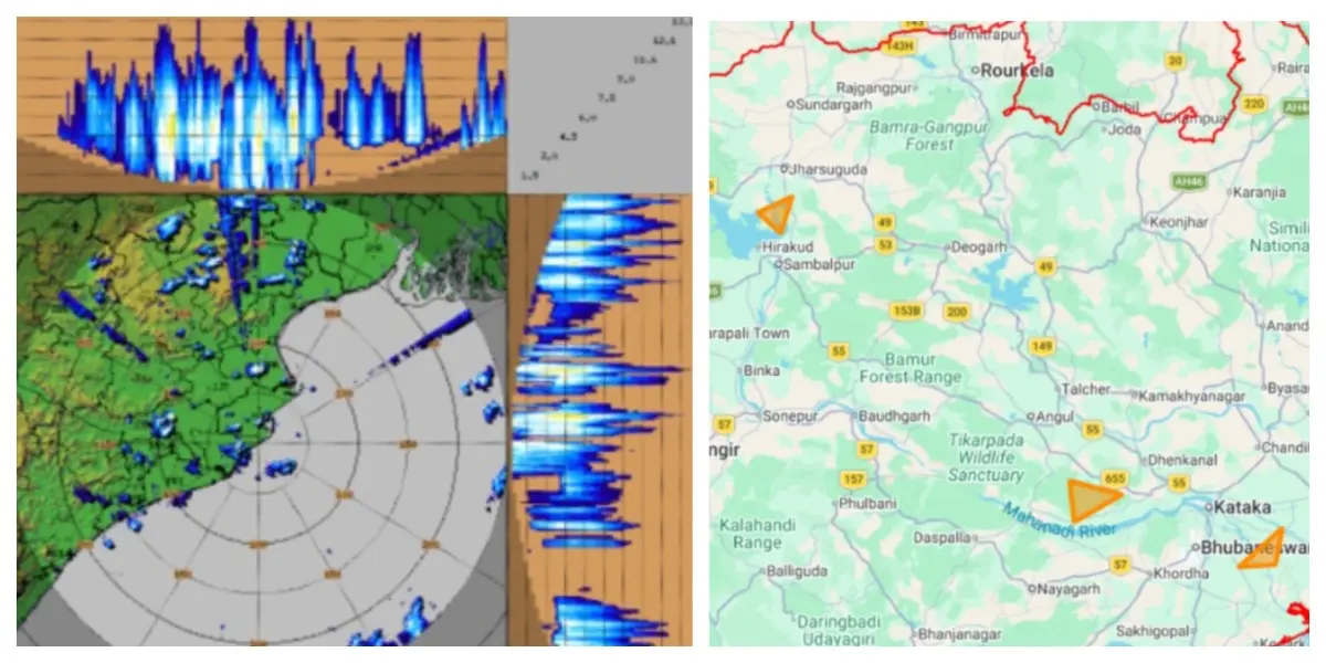
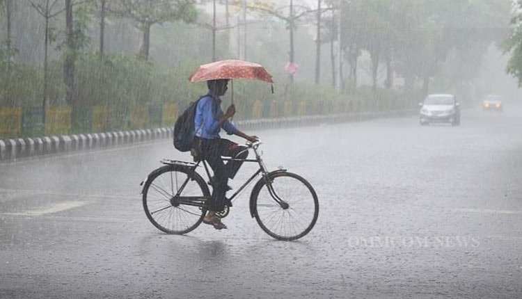
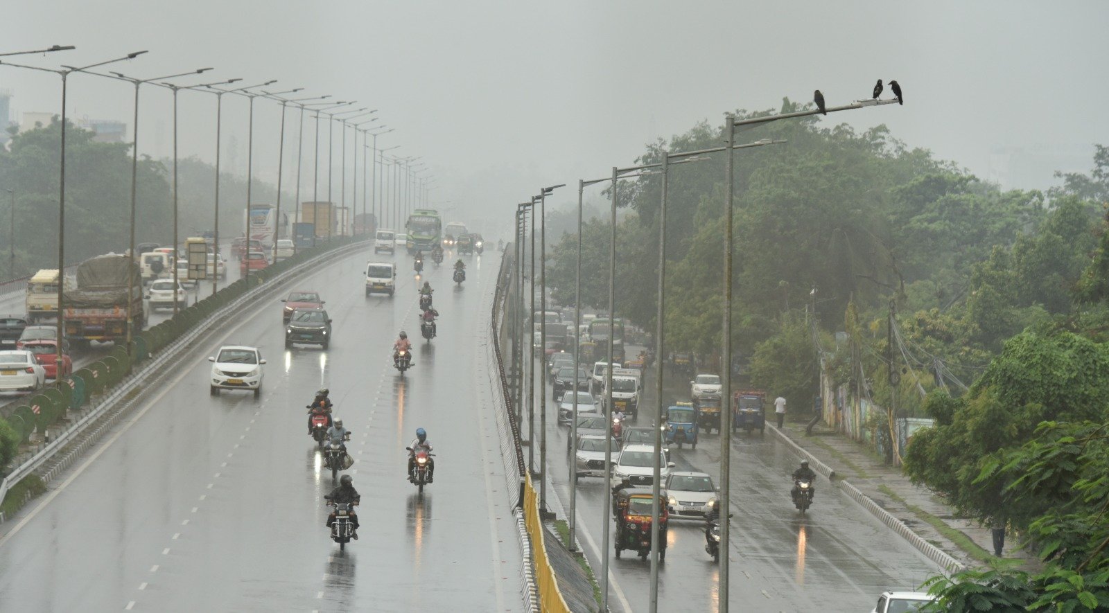
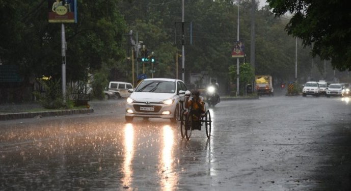
In the past 24 hours, Banki in Cuttack district reported the highest rainfall at 19.2 cm. Four towns experienced extremely heavy rain, while another 14 recorded significant downpours. Both Odisha and West Bengal’s coastal regions have been subjected to heavy showers due to the system.
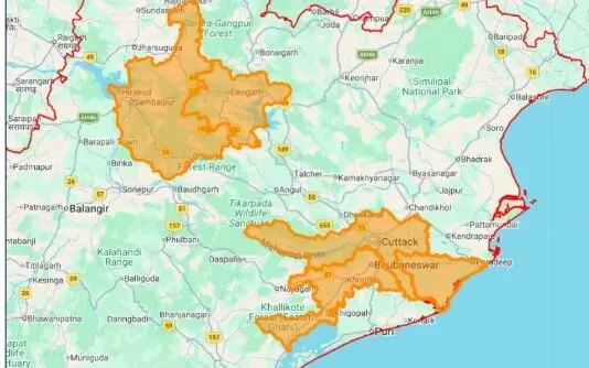
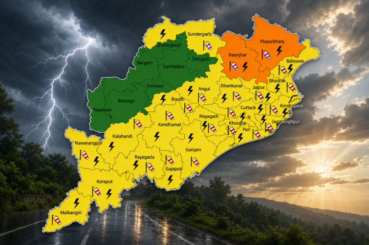
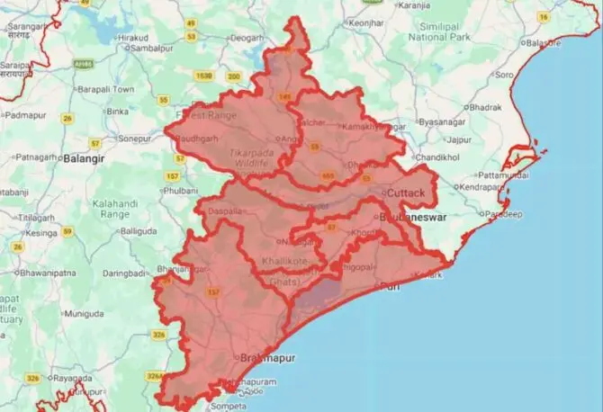
The India Meteorological Department has issued an orange alert for extremely heavy rainfall on Tuesday for the districts of Sundargarh, Jharsuguda, Baragada, and Sambalpur. A yellow warning for heavy rain applies to Baleshwar, Bhadrak, Jajpur, Deogarh, Anugola, Dhenkanal, Kendujhar, Mayurbhanj, Sonpur, Boudh, Nuapada, and Bolangir.
For the next 24 hours, isolated areas are expected to see extremely heavy rainfall. The sea conditions are anticipated to be rough over the northern Bay of Bengal and along the Odisha-West Bengal coast. Fishermen have been strongly advised against venturing into the deep sea and to avoid the northern Bay of Bengal entirely.
After the system crosses the coastline, the rainfall intensity is expected to decrease over the following 48 hours. On July 29 and 30, the state can anticipate thunderstorms with rain and gusty winds reaching 30-50 km/h. However, heavy rainfall is predicted to return from July 31, especially in northern Odisha.
Weather officials in the region have warned that no significant changes in the current weather pattern are expected in the near future, urging residents in susceptible areas to stay prepared for ongoing wet weather conditions.