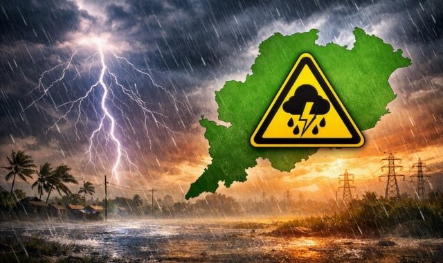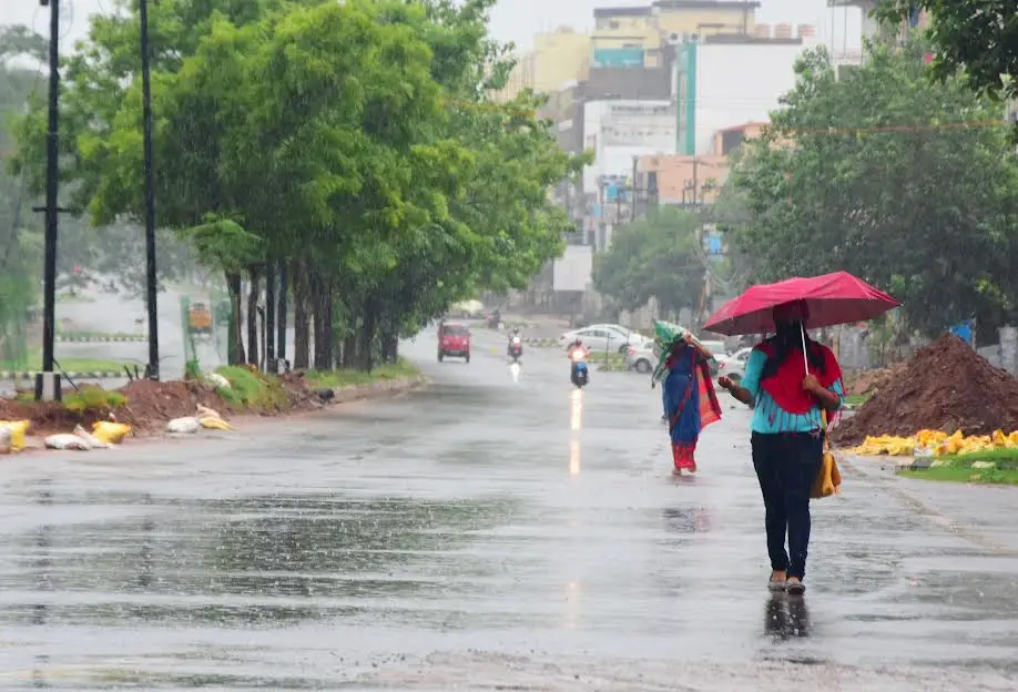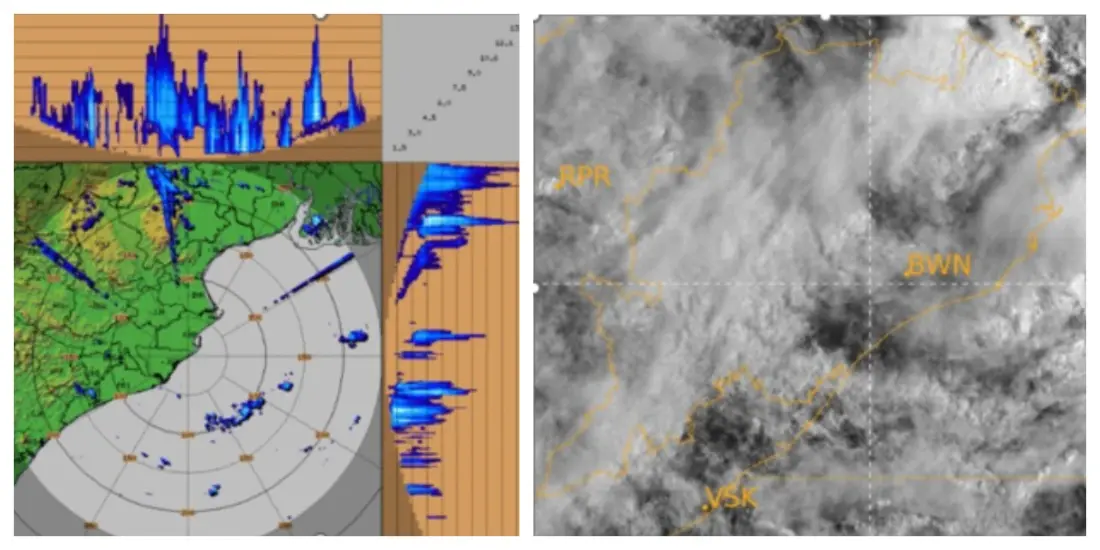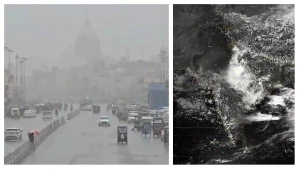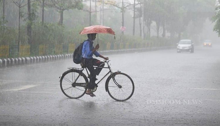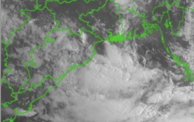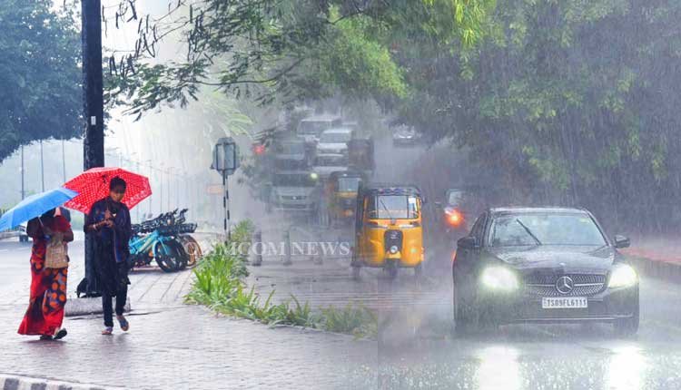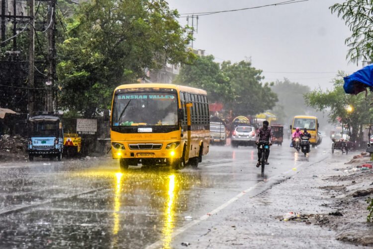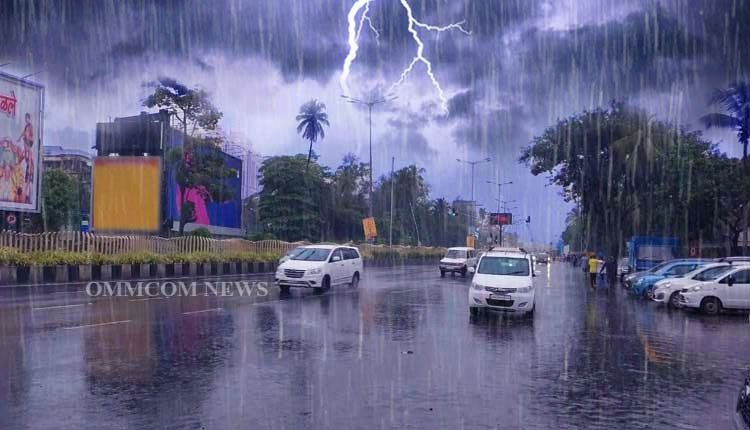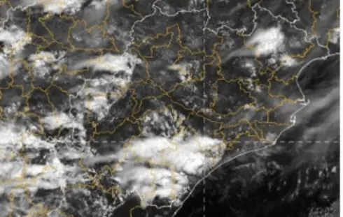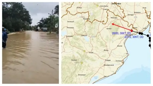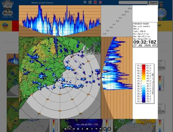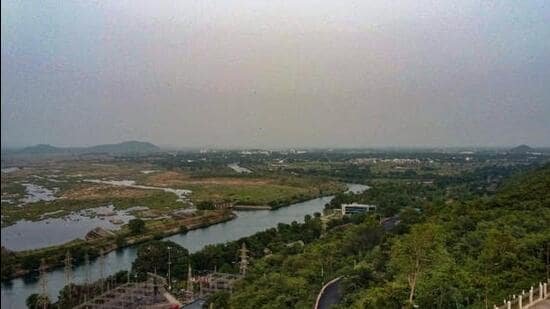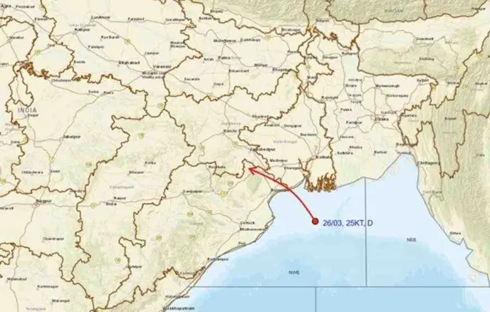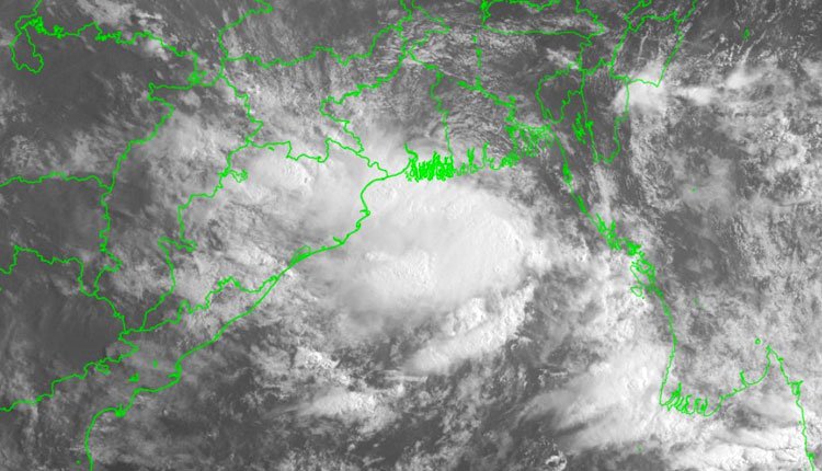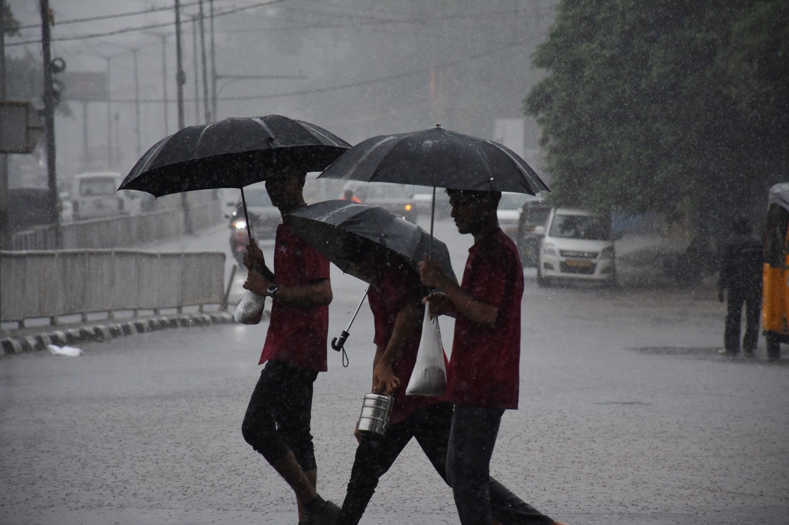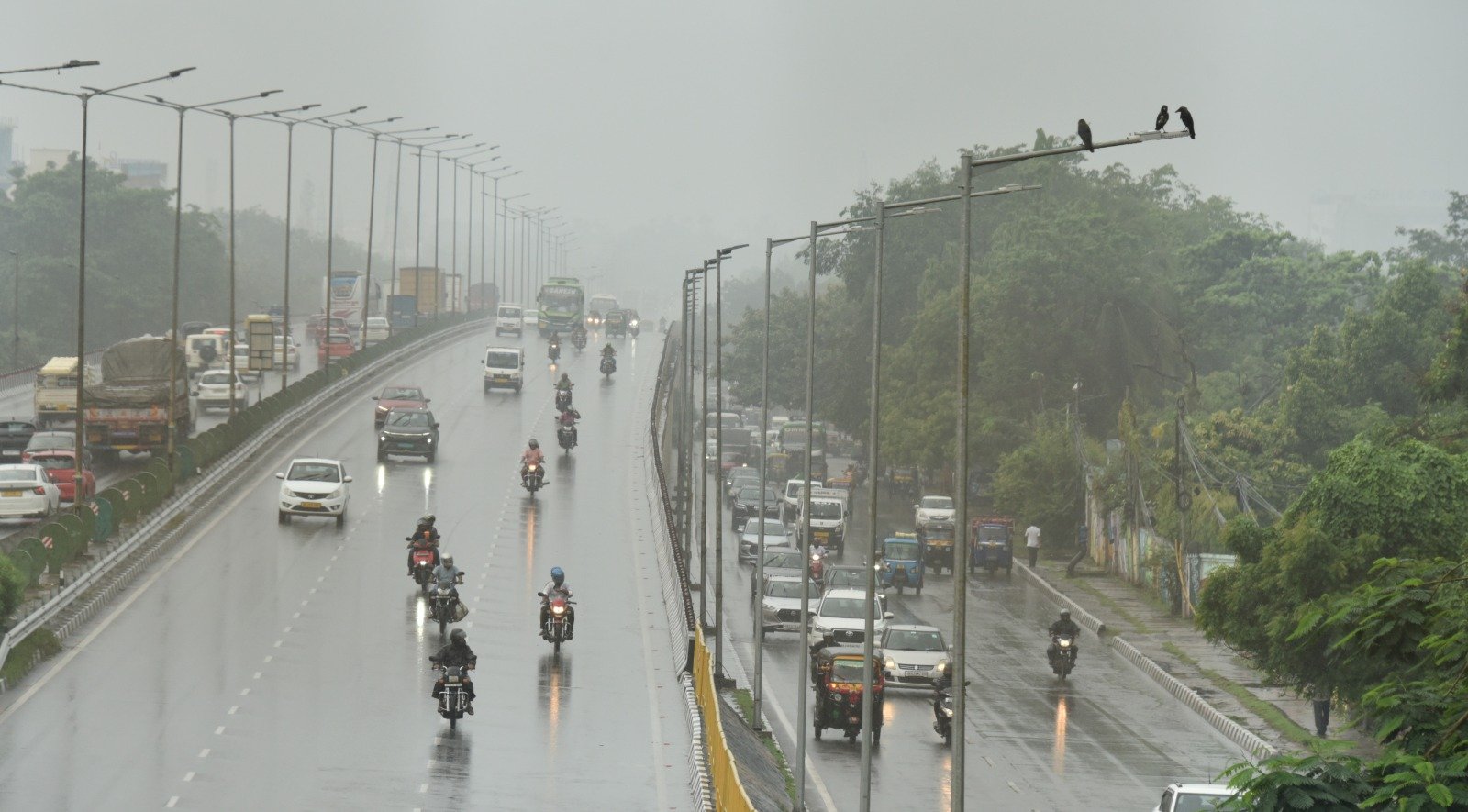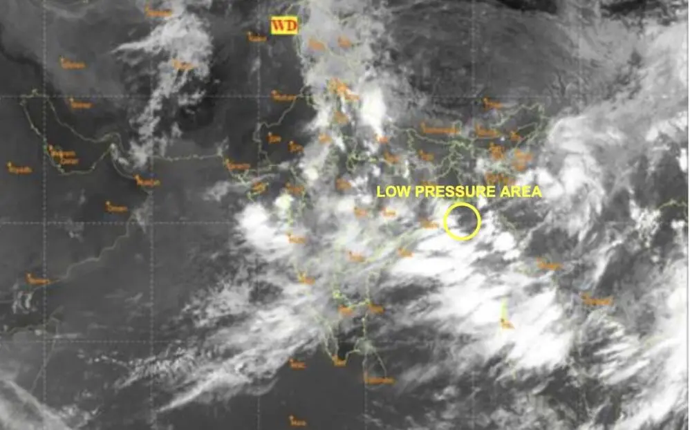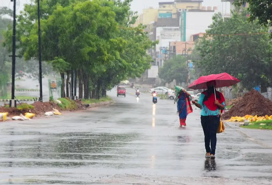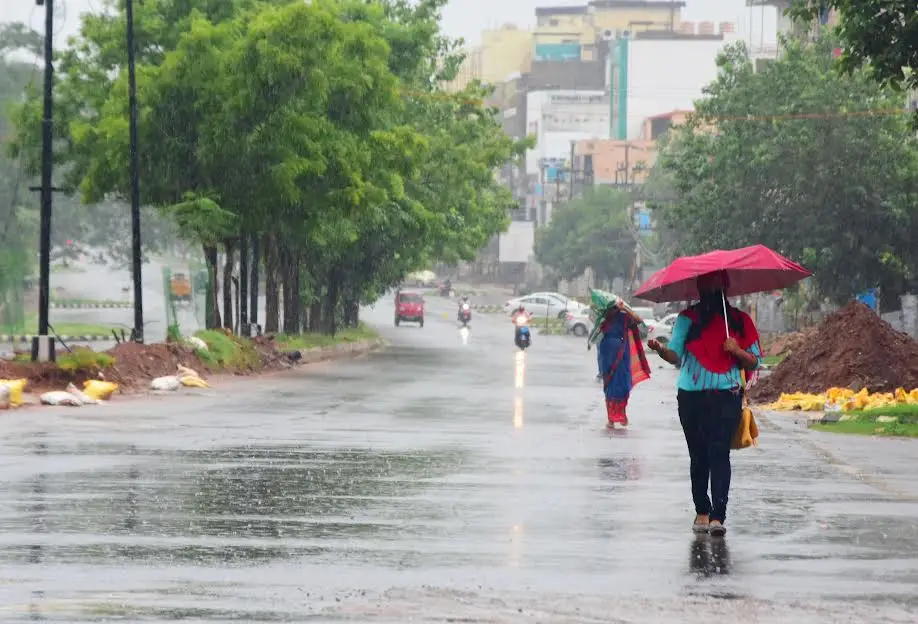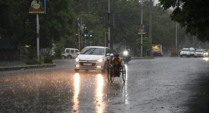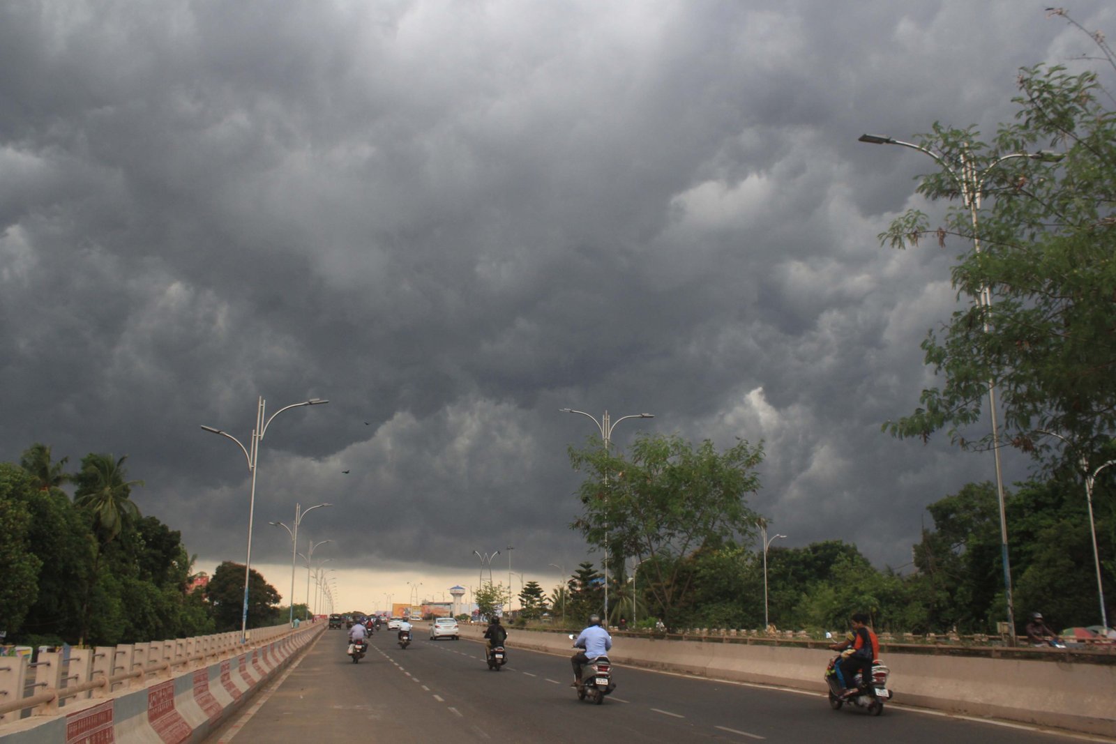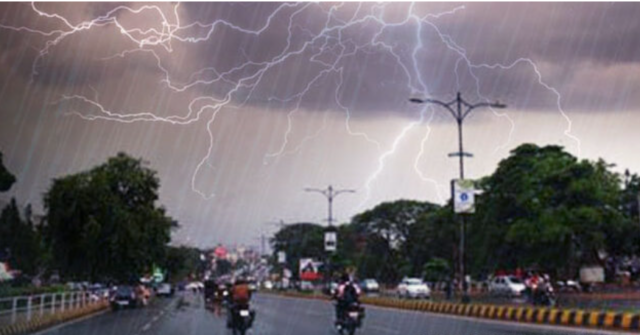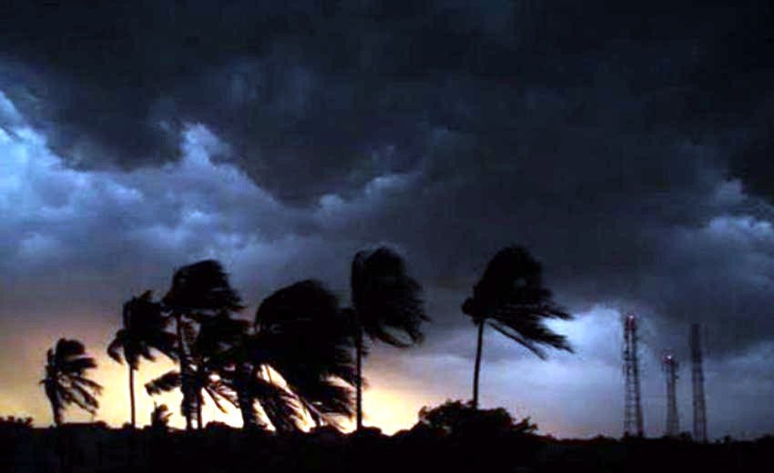

Bhubaneswar: On Thursday, Odisha faced heavy rainfall accompanied by strong winds, resulting in waterlogging and damage in several locations as a deep depression made landfall near Kalingapatnam.
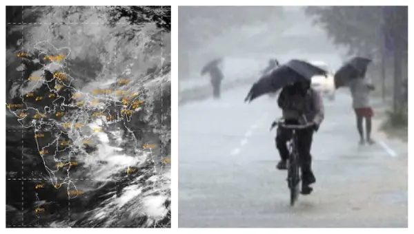
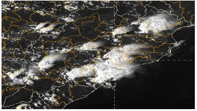
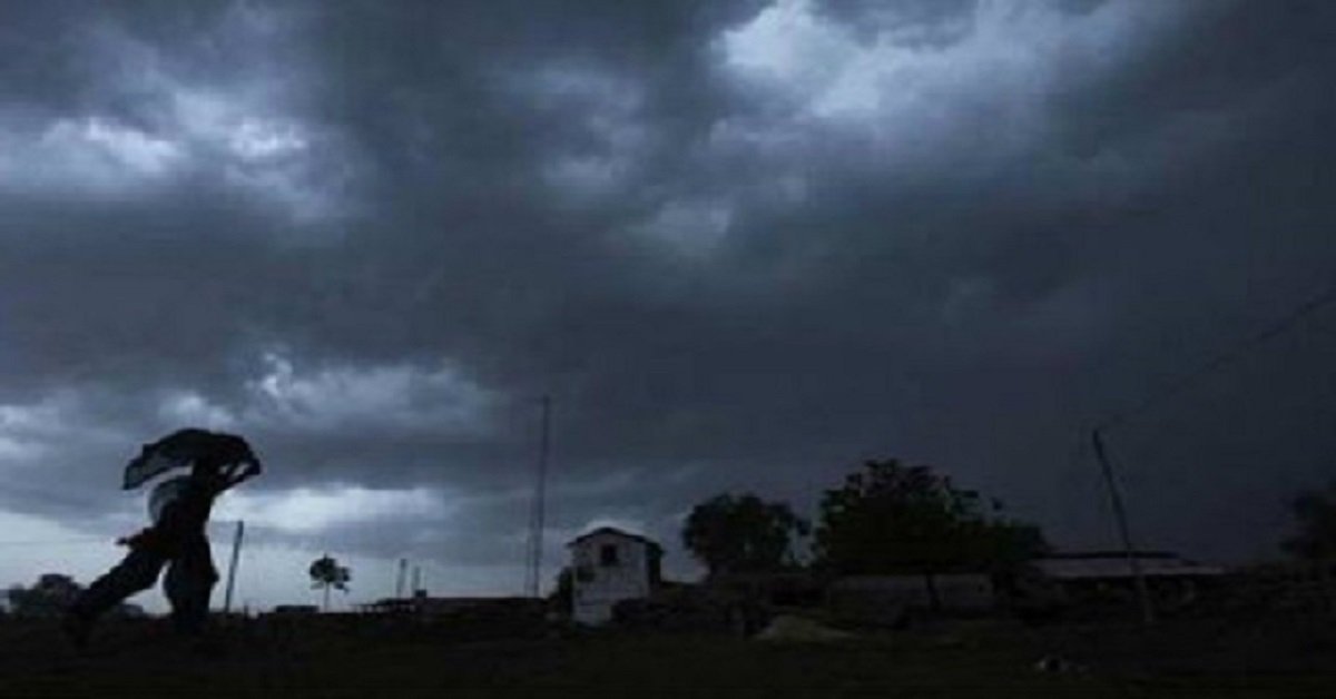
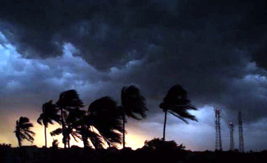
The weather system, now situated over the region, has been unleashing high winds and substantial rain, particularly impacting southern and coastal areas of Odisha. This weather pattern is expected to persist.
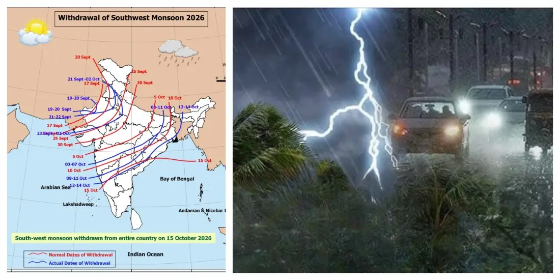
The India Meteorological Department (IMD) reported that the system crossed the coastline between 11 PM on September 23 and 1 AM on September 24, with maximum sustained winds ranging from 55 to 65 km/h and gusts reaching up to 75 km/h.
Forecasts suggest that the deep depression will continue to move north-west for the next 12 hours while maintaining its strength, before shifting to a north-north-west trajectory and gradually losing intensity over the following 24 hours.
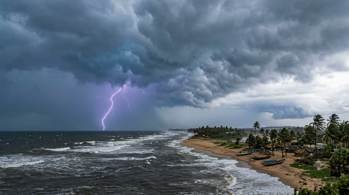
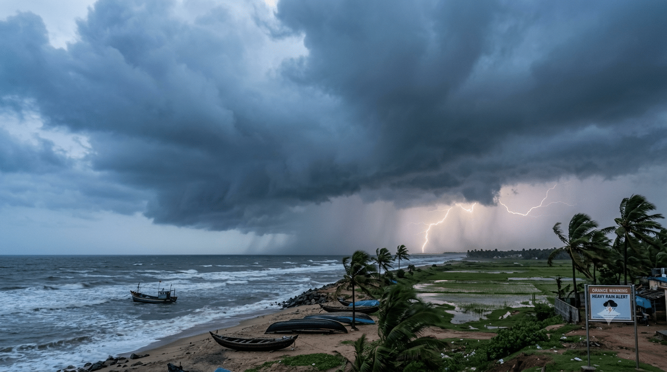
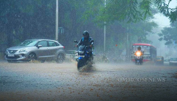
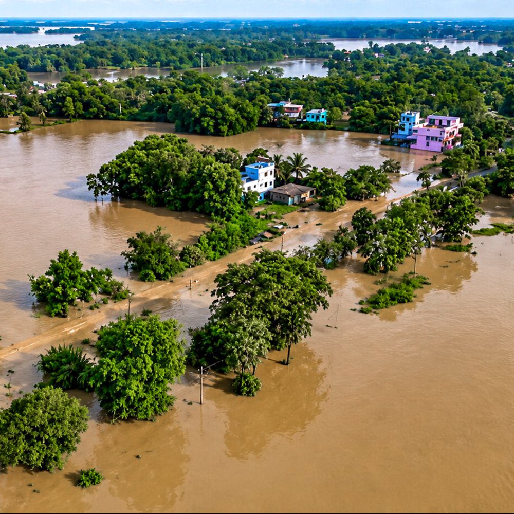
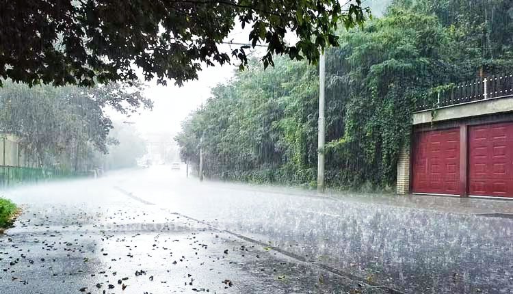
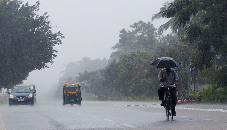
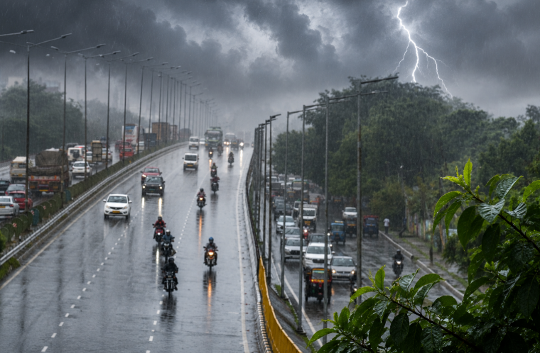
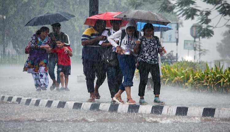
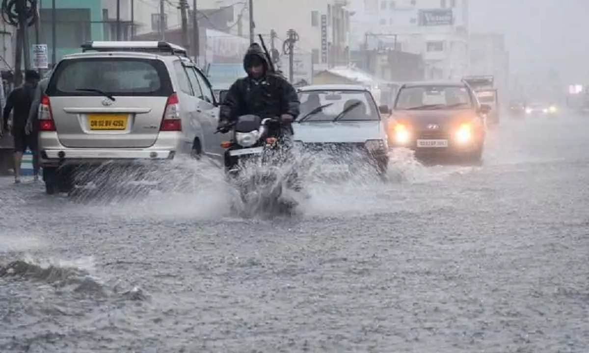
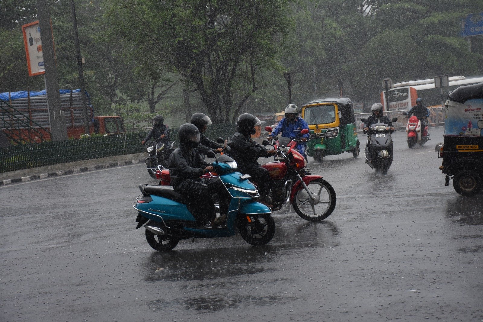
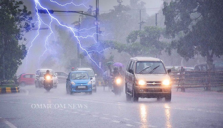
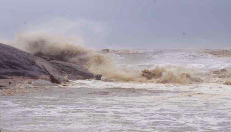
Coastal and nearby regions experienced heavy rainfall and strong winds due to the system, with the sea conditions remaining rough. The intense rain and winds led to significant waterlogging in several low-lying areas.
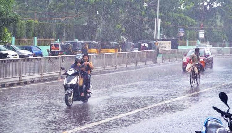
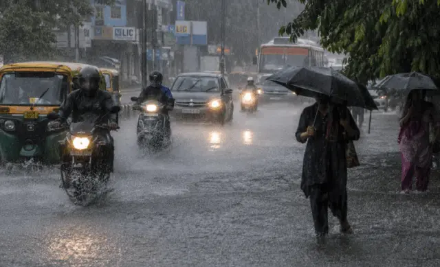
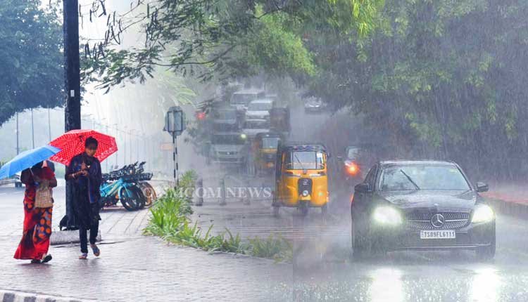
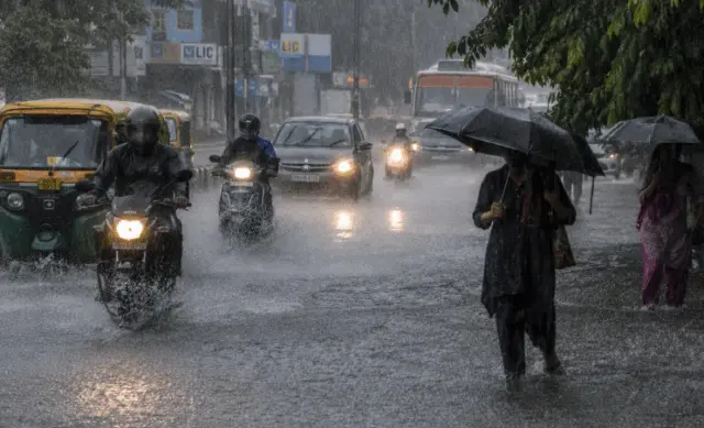
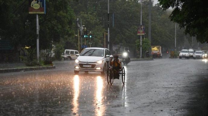
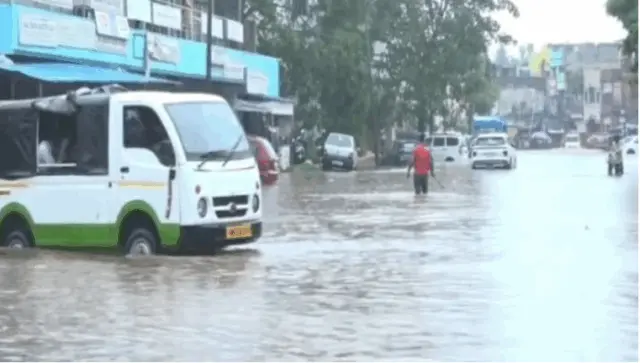
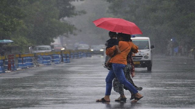
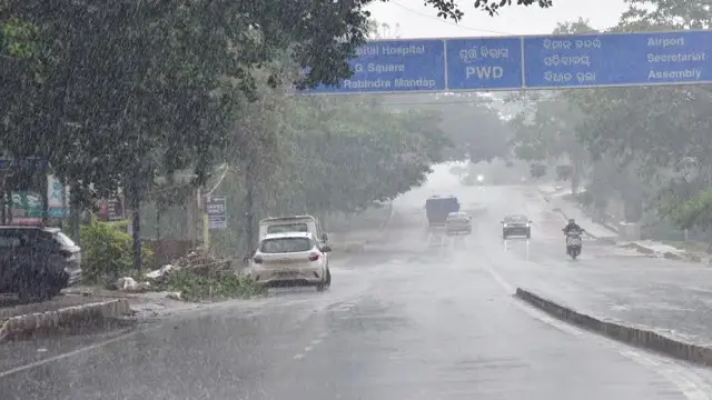
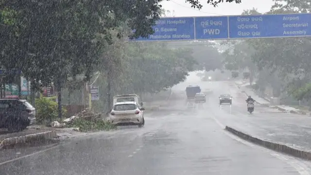
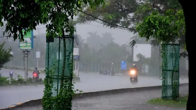
Bhubaneswar, the state capital, experienced heavy rainfall under the system’s influence, recording 101 mm of rain in the last 24 hours, which resulted in severe waterlogging in multiple locations.
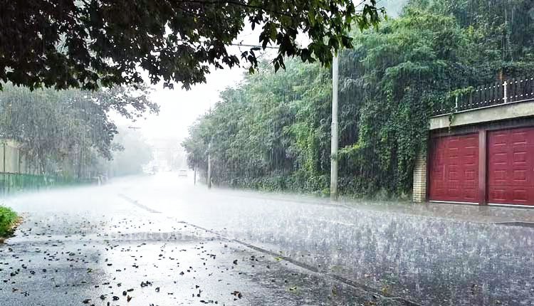
Major roads were submerged as rainwater could not drain effectively. Reports indicated knee-deep water on the road between Master Canteen and Rajmahal Square, as well as on the route connecting Rajmahal to the Chief Minister’s Grievance Cell, disrupting traffic and leading authorities to redirect vehicles through AG Square.
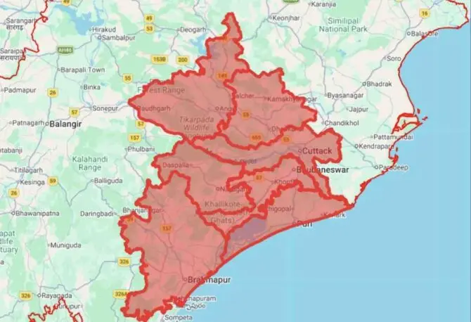
Residents in the coastal and southern districts of Odisha, along with adjacent areas of Andhra Pradesh, have been urged to stay vigilant for strong winds, heavy to very heavy rainfall, and potential flooding in low-lying regions.
The IMD noted that several areas in South Odisha experienced moderate to heavy rainfall overnight. The agency has predicted intermittent to continuous rain, especially in southern districts, due to the ongoing impact of the deep depression near the Andhra Pradesh-Odisha border. Residents are advised to exercise caution and take necessary precautions.
Fishermen have been warned against venturing into the sea until conditions improve. Updates will be provided as the situation develops.
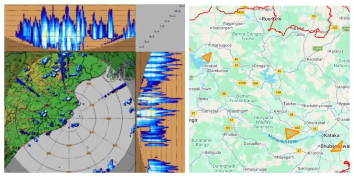
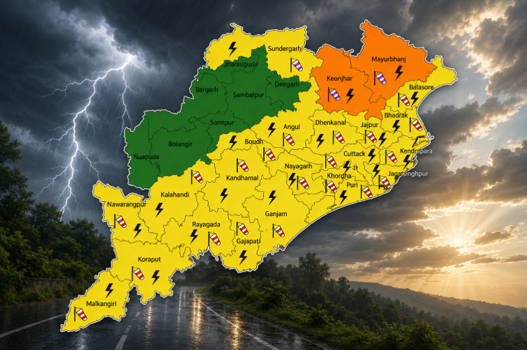
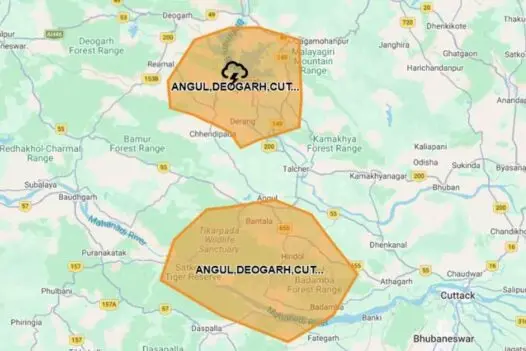
The IMD has issued a rainfall warning for the next two days, predicting heavy rains from southern to western and northern parts of the state today. A red alert has been declared for Nabarangapur district due to the risk of extremely heavy rainfall.
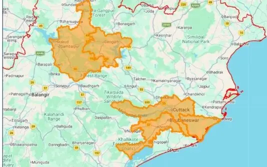
Additionally, six districts—Bargada, Nuapada, Balangir, Kalahandi, Koraput, and Malkangiri—are under an orange alert for heavy to very heavy rain, while a yellow warning has been issued for nine other districts, including Balasore, Sambalpur, Jharsuguda, Keonjhar, Mayurbhanj, Subarnapur, Boudh, Kandhamal, and Rayagada, indicating the chance of heavy rainfall.
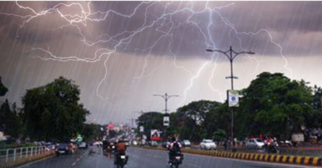
The weather department warns that rain is anticipated across most of the state today, with particularly intense spells expected in the southern and western districts.