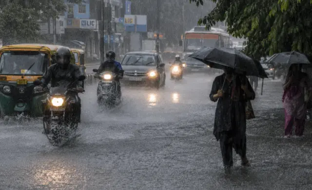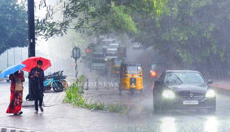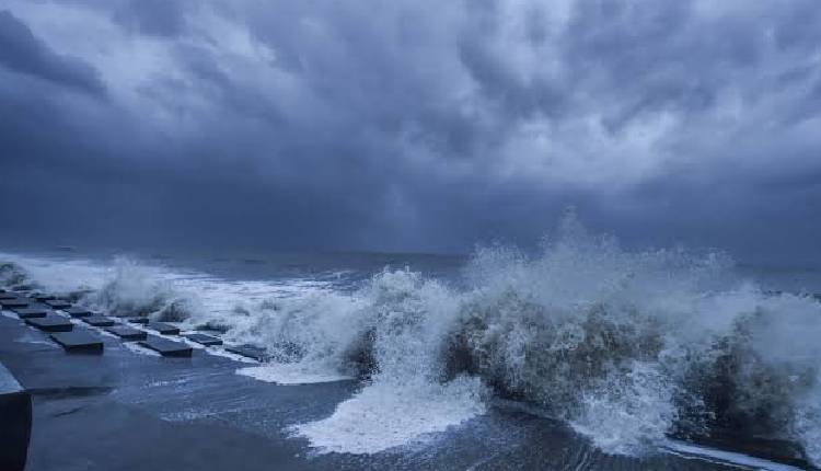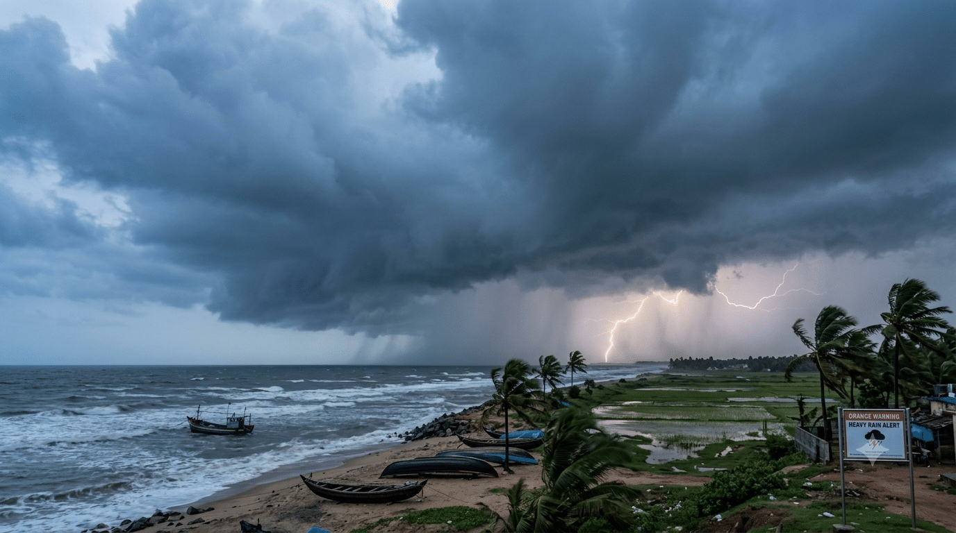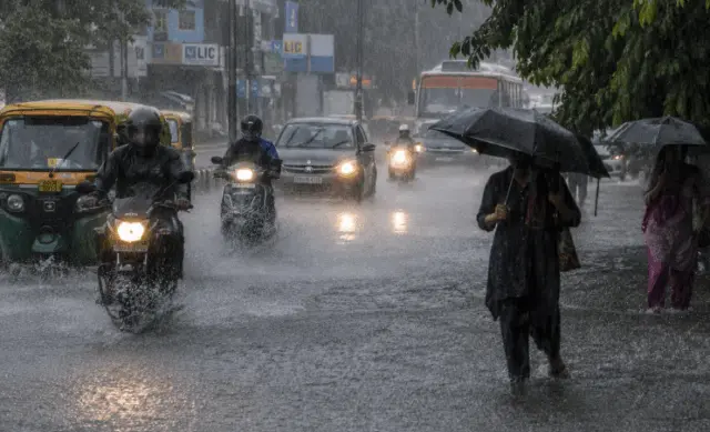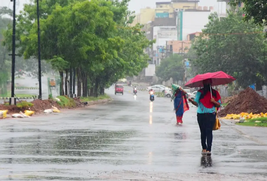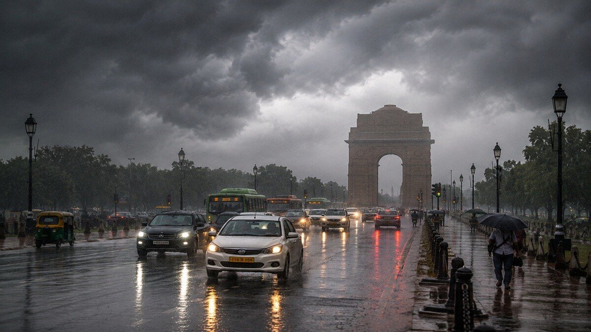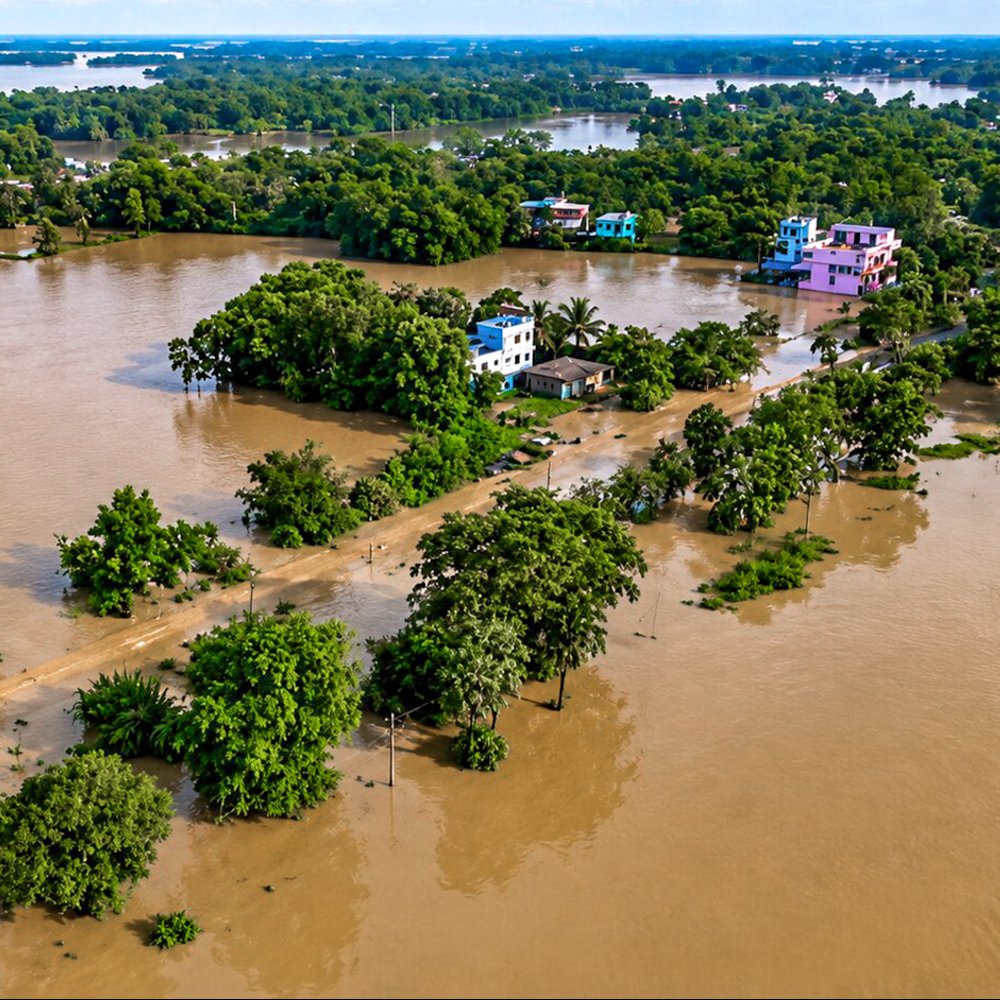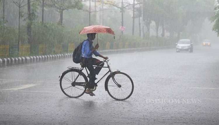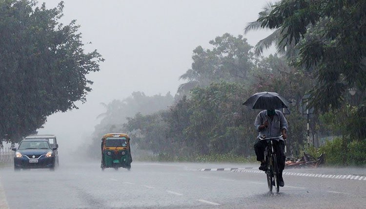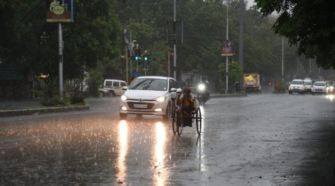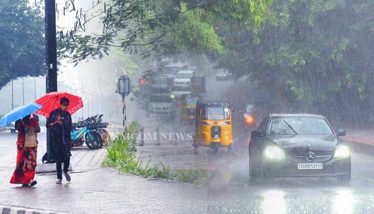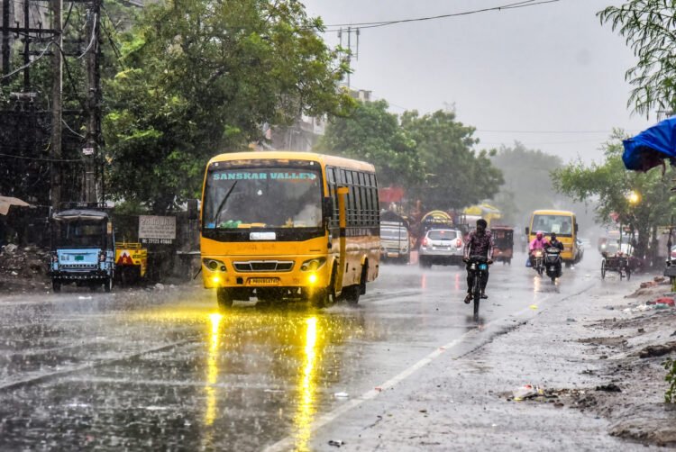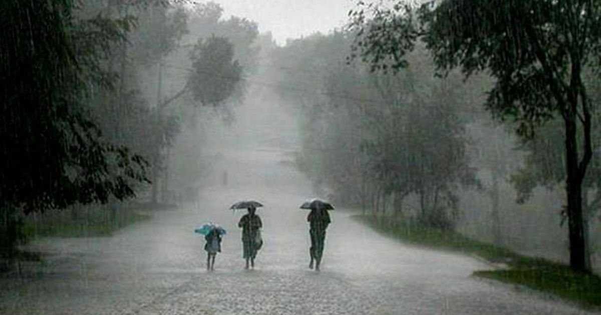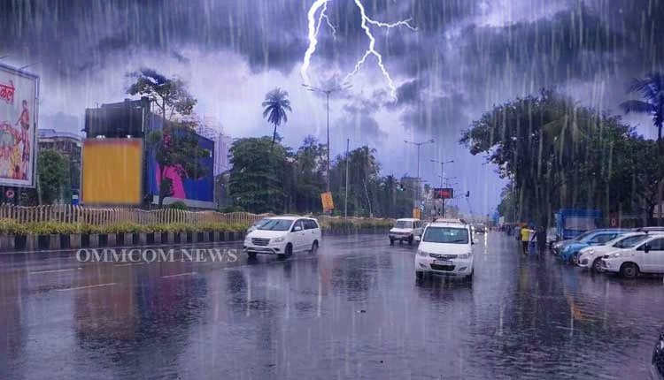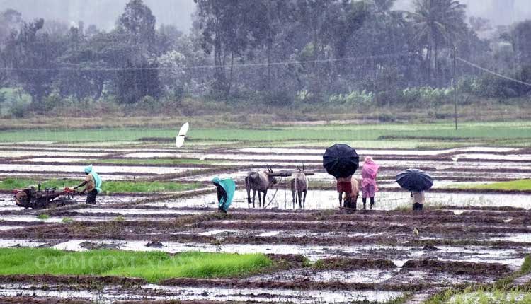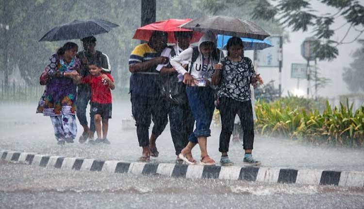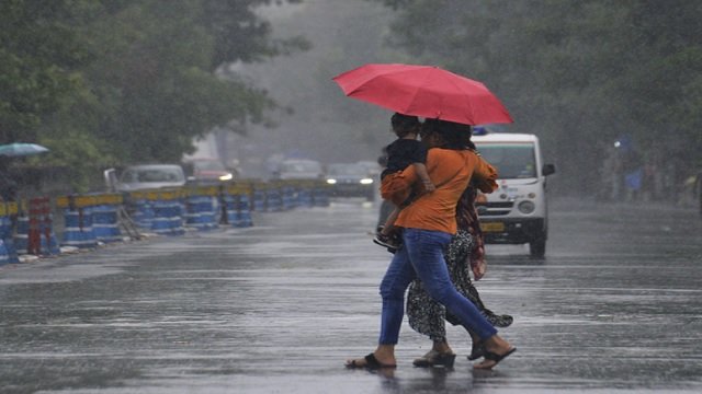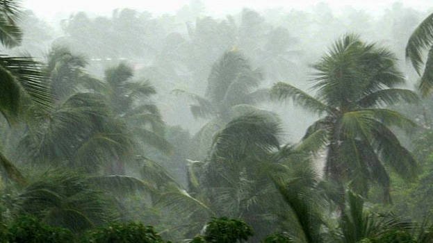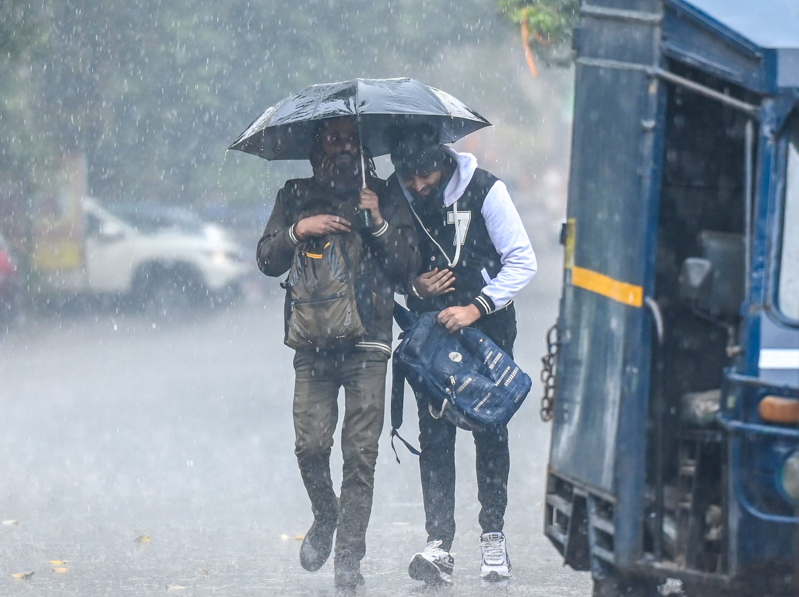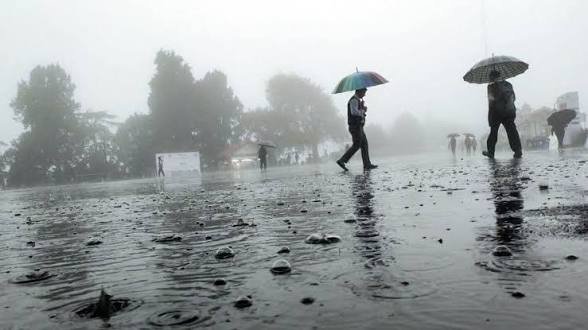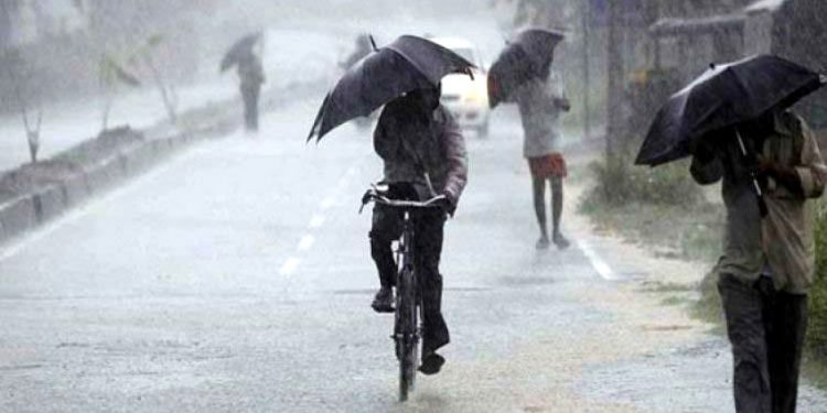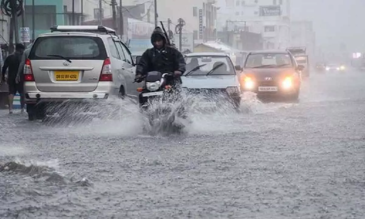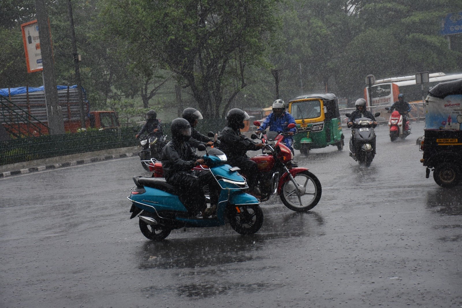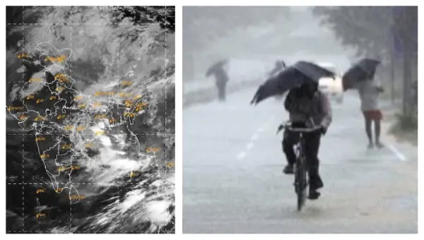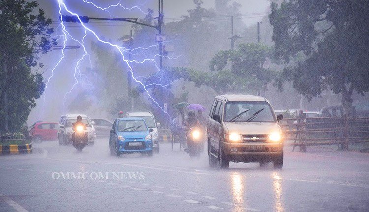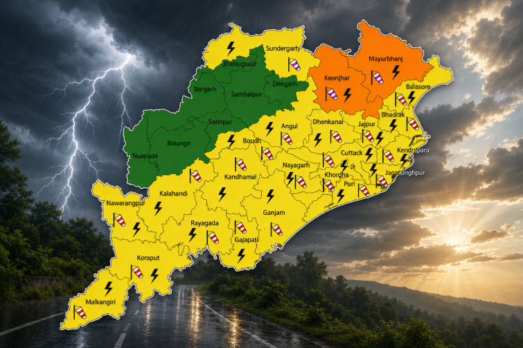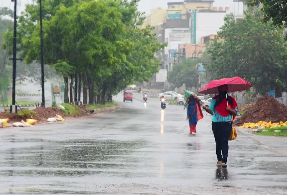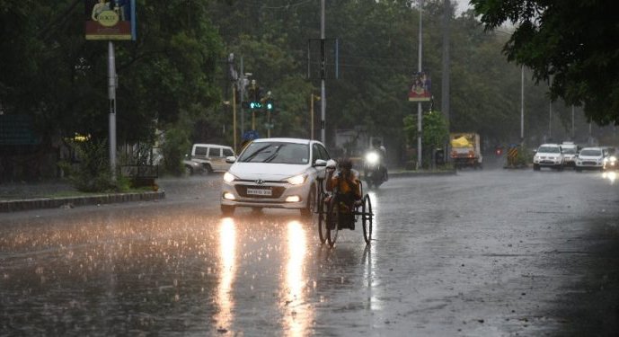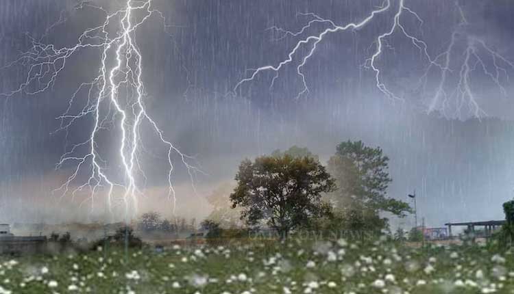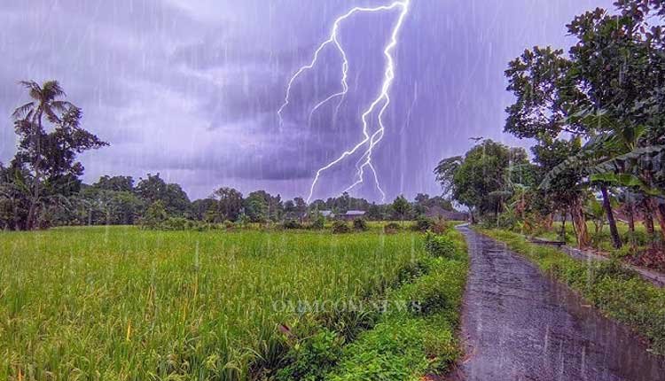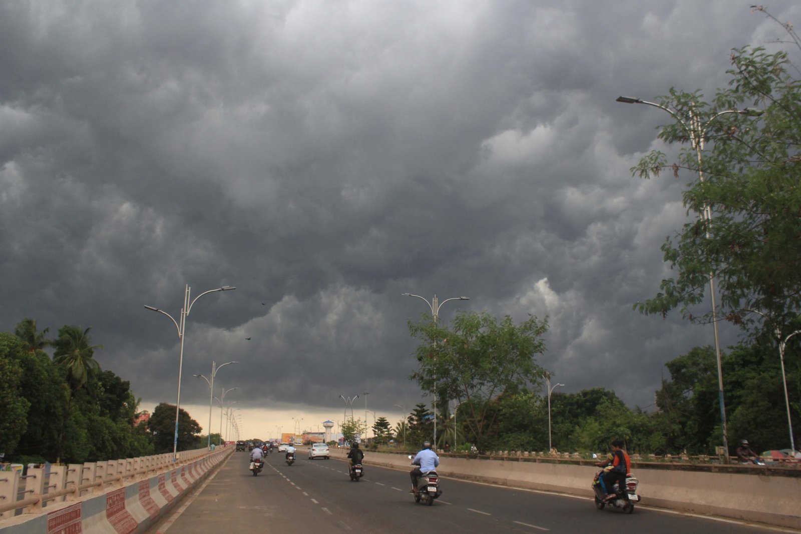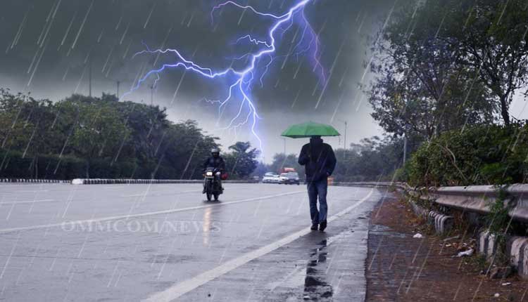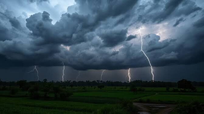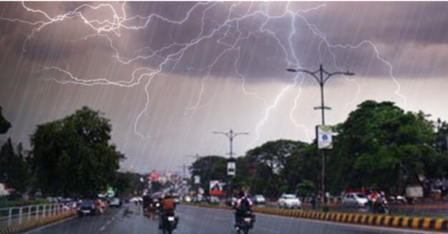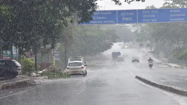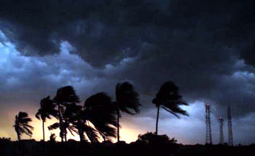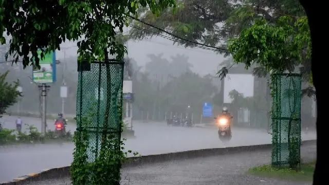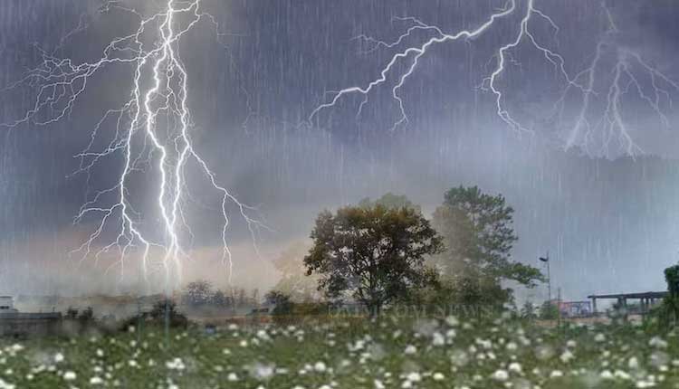
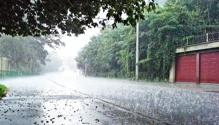
Bhubaneswar: The India Meteorological Department (IMD) has predicted significant rainfall and thunderstorms in various districts of Odisha from August 12 through August 18, prompting the issuance of Orange and Yellow alerts for the duration.
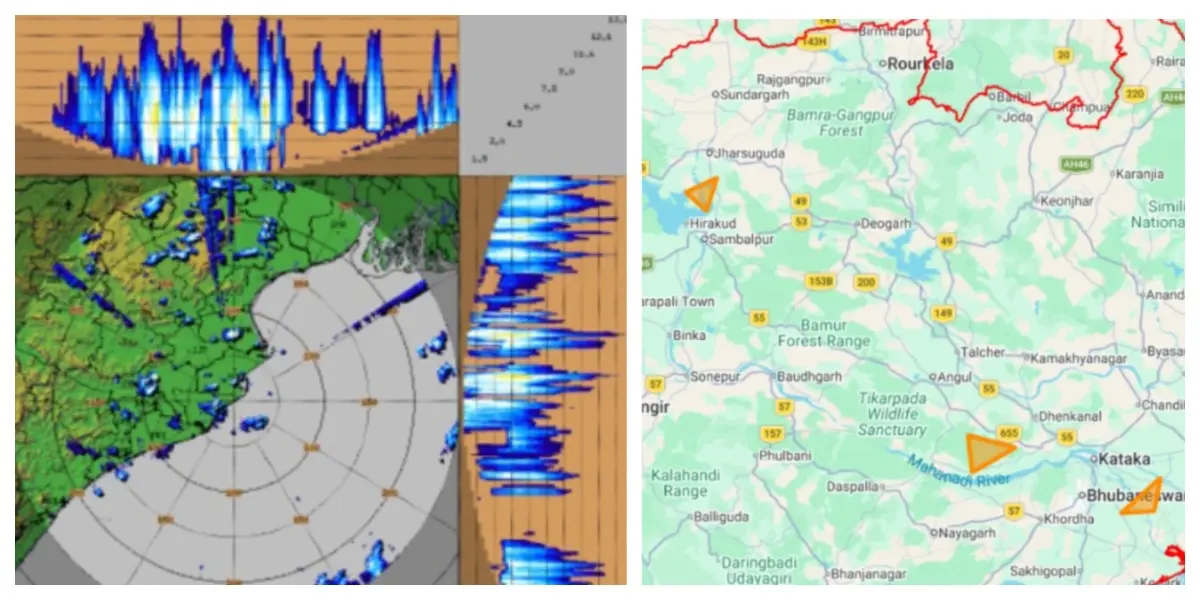
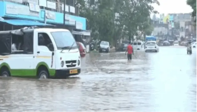
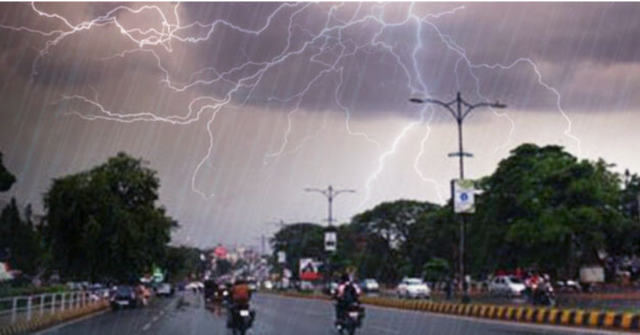
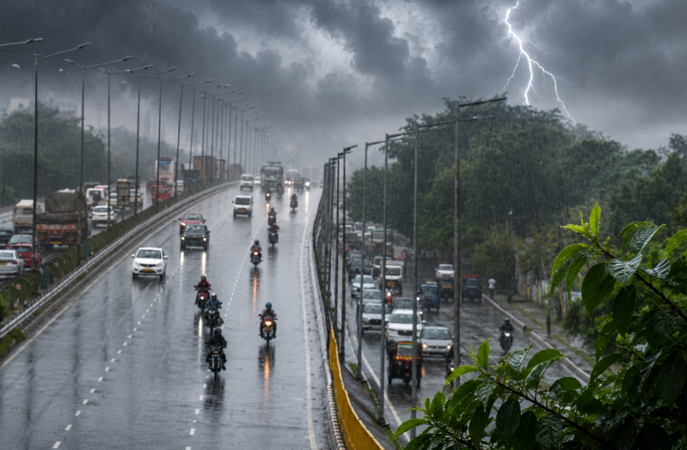
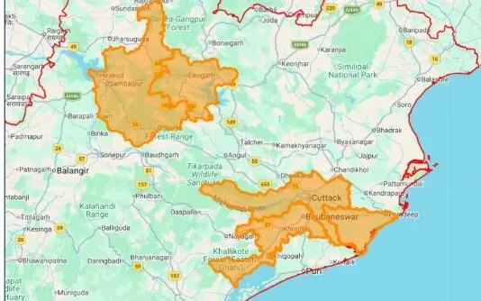
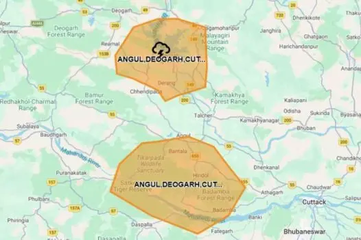
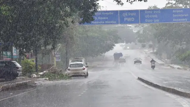
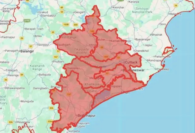
On August 12, an Orange alert has been declared for heavy to very heavy rainfall expected in isolated locations within Bhadrak, Kendrapada, and Jagatsinghpur. Additionally, moderate thunderstorms accompanied by lightning and gusty winds reaching speeds of 30-40 kmph are anticipated in Baleshwar, Sundargada, Kendujhar, Mayurbhanj, and Anugola. A Yellow alert for heavy rainfall also applies to Jajpur, Kataka, Jharsuguda, Sambalpur, Debagada, Anugola, Dhenkanal, Kendujhar, and Mayurbhanj, with thunderstorms and strong winds predicted across numerous districts including Bhadrak, Jajpur, Kendrapada, Jagatsinghpur, Kataka, as well as several areas to the south and west.
On August 13, the IMD has issued an Orange warning for heavy to very heavy rain in Anugola and Kendujhar. Yellow alerts for heavy rainfall and thunderstorms with gusty winds will cover much of the coastal, northern, and several interior regions of the state.
For August 14, Sundargada will remain under an Orange warning for heavy to very heavy rainfall, while Yellow alerts for heavy rain and thunderstorms are still in effect for Baleshwar, Bhadrak, Jajpur, Kendrapada, Jagatsinghpur, Kataka, Sundargada, and various other districts.
From August 15 to 18, the rainfall intensity is expected to decrease somewhat, with Yellow warnings for heavy rainfall applicable to specific northern districts such as Sundargada, Kendujhar, Mayurbhanj, and Baleshwar. Nevertheless, thunderstorms featuring lightning and gusty winds of 30-40 kmph are likely to persist sporadically across a wide range of districts in Odisha during this timeframe.
Residents in the impacted regions have been urged to exercise caution and stay updated on weather developments.
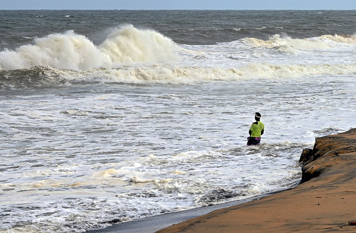
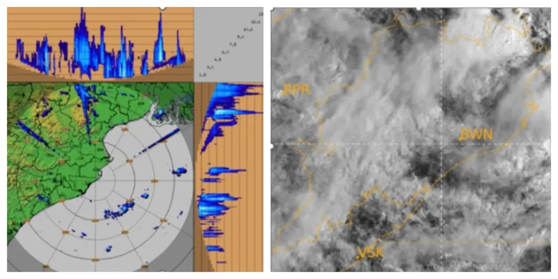
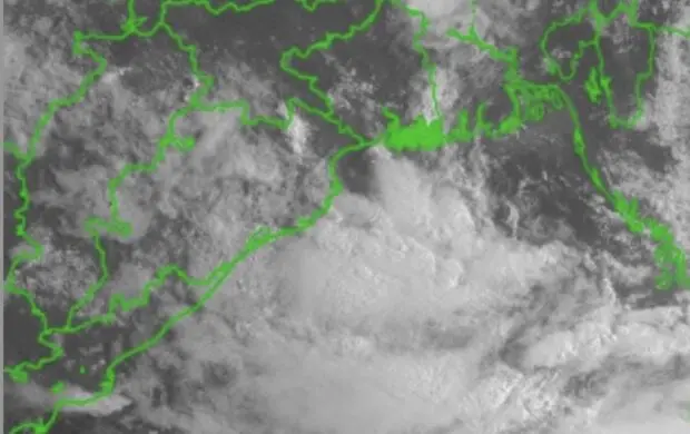
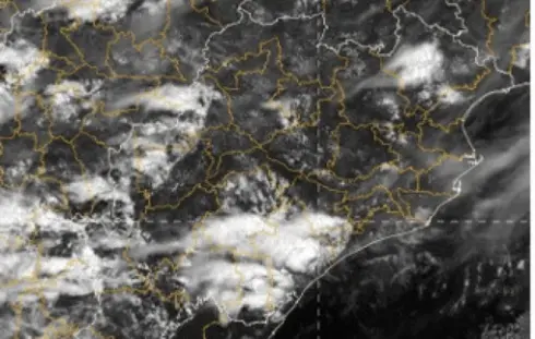
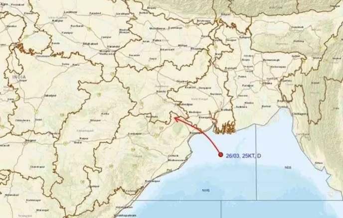
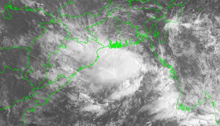
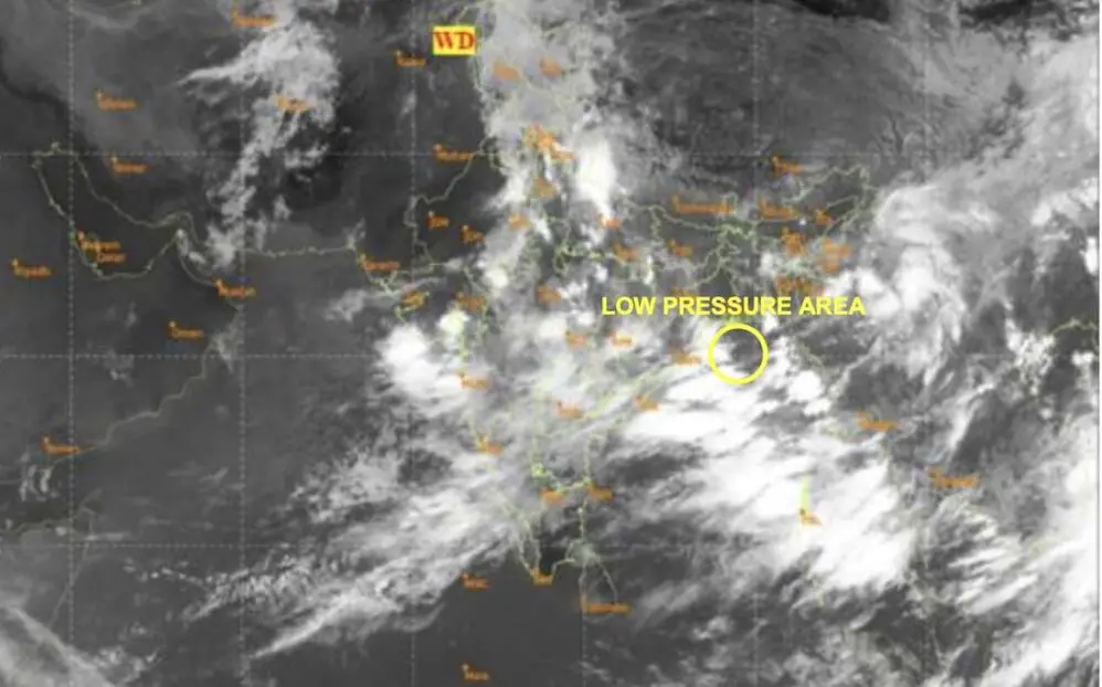
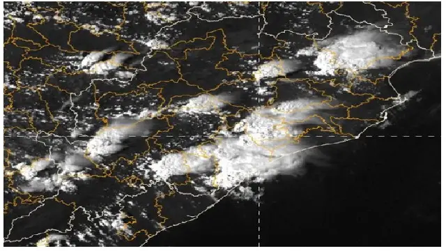
Simultaneously, an upper air cyclonic circulation situated over the northwest Bay of Bengal and surrounding areas, extending up to 7.6 km above mean sea level and tilting southwestward with height, continues to exist. Its influence suggests that a Low Pressure Area may form over the same region around August 12.