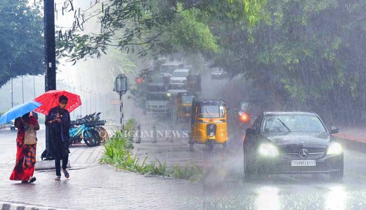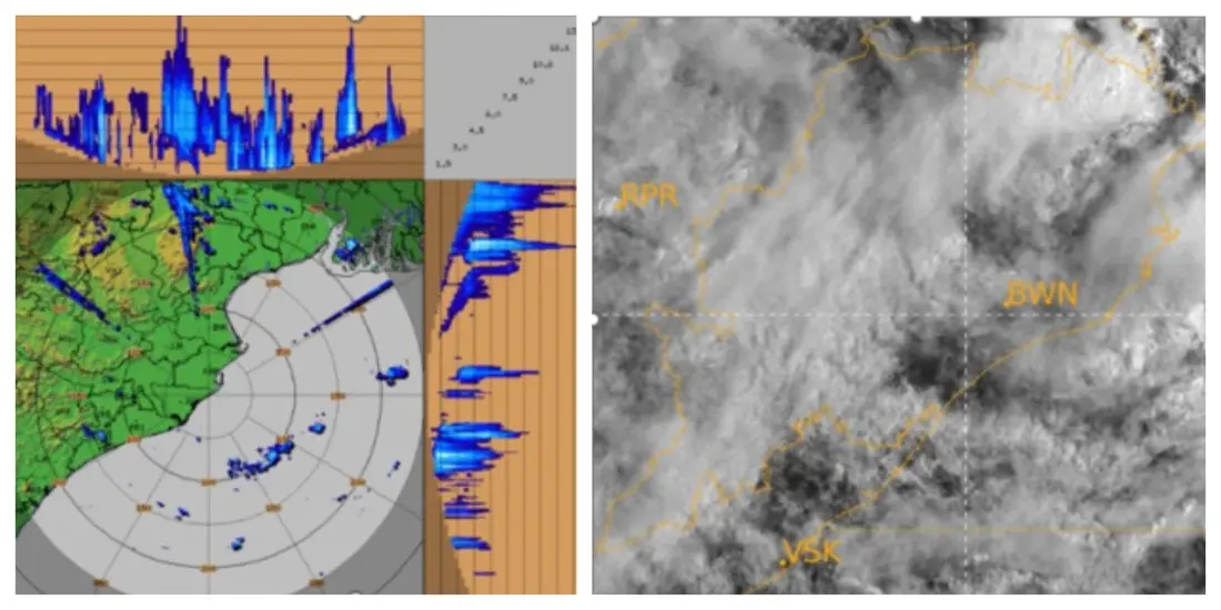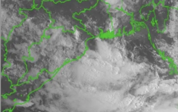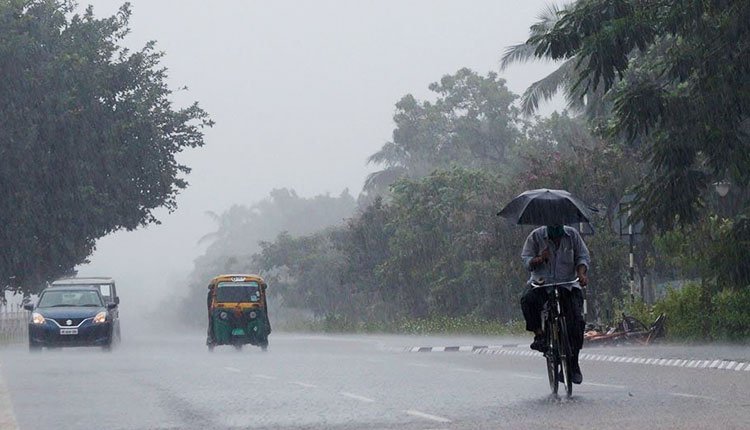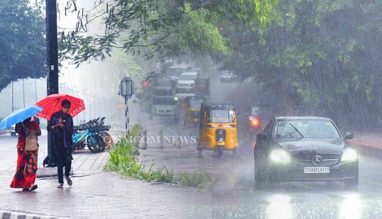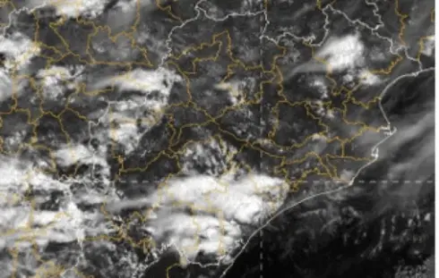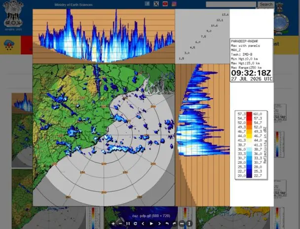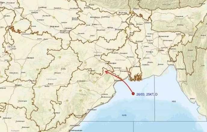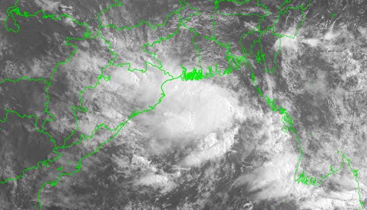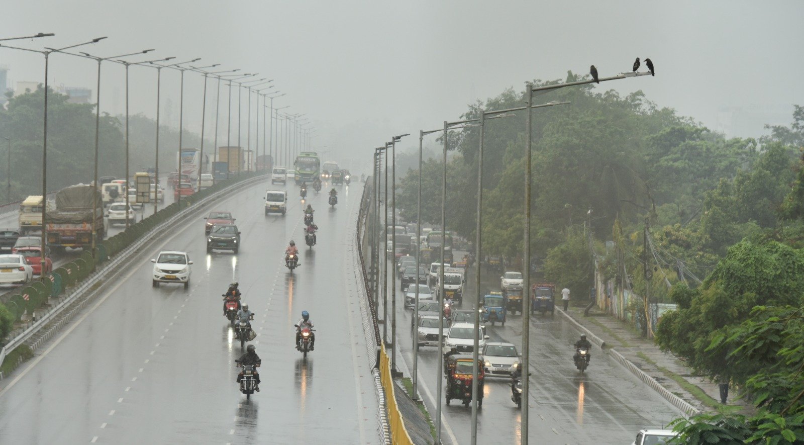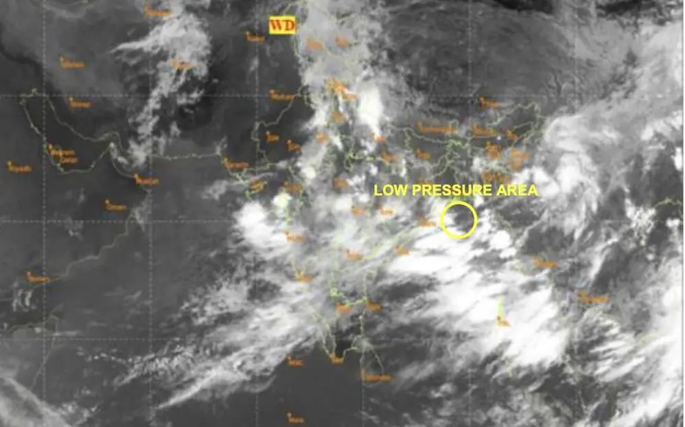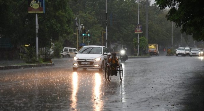

Bhubaneswar: The cyclonic circulation over the northwest Bay of Bengal and the nearby north Odisha coast has weakened, but the India Meteorological Department (IMD) has indicated that heavy rain may still affect the state until July 29.
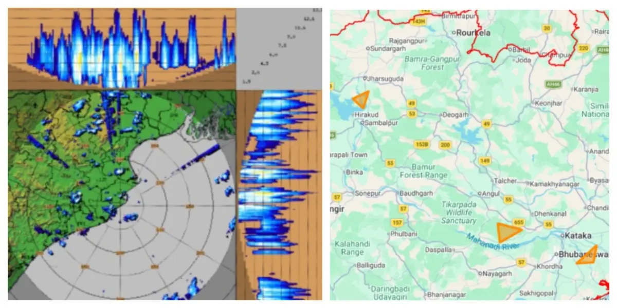
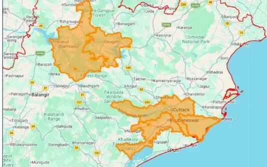
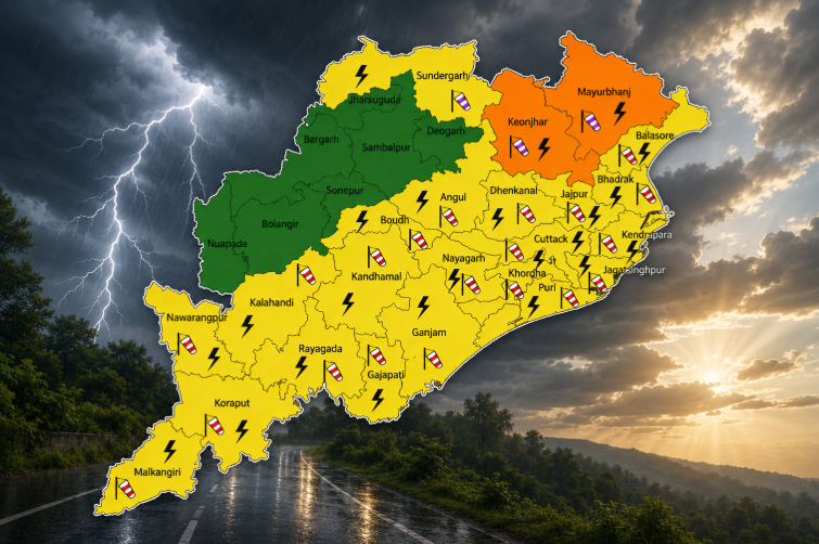
The IMD has issued alerts for heavy rainfall in one or two locations within Baleshwar and Mayurbhanj districts on July 23. Thunderstorms, accompanied by lightning and gusty winds at speeds of 30-40 km/h, may also impact areas including Baleshwar, Bhadrak, Jajpur, Kendrapada, Jagatsinghpur, Cuttack, Sundargarh, Jharsuguda, Baragarh, Sambalpur, Deogarh, Angul, Dhenkanal, Kendujhar, Mayurbhanj, Puri, and Khordha.
Squally conditions with wind speeds reaching 35-45 km/h, and gusts up to 55 km/h, are expected along and offshore from the north Odisha coast.
On July 24, heavy rain may persist in Baleshwar, Kendujhar, and Mayurbhanj. Thunderstorms with lightning and gusty winds (30-40 km/h) may still affect Baleshwar, Bhadrak, Jajpur, Kendrapada, Jagatsinghpur, Cuttack, Sundargarh, Jharsuguda, Sambalpur, Kendujhar, Mayurbhanj, and Gajapati.
On July 25, heavy rainfall could again occur in Baleshwar, Sundargarh, Kendujhar, and Mayurbhanj. Thunderstorms, with similar wind gusts, are likely in the previously mentioned districts.
For July 26 and 27, while no heavy rain warnings are issued, thunderstorms with lightning and gusty winds may still affect several areas including Baleshwar, Bhadrak, Jajpur, Kendrapada, Jagatsinghpur, Cuttack, Kendujhar, Mayurbhanj, Gajapati, Ganjam, Puri, Khordha, and Nayagarh.
Heavy rain is expected to return to Sundargarh, Kendujhar, and Mayurbhanj on July 28 and 29, with conditions remaining largely unchanged thereafter. Light to moderate rain, or thundershowers, may occur across many parts of the state from July 23 to 29.