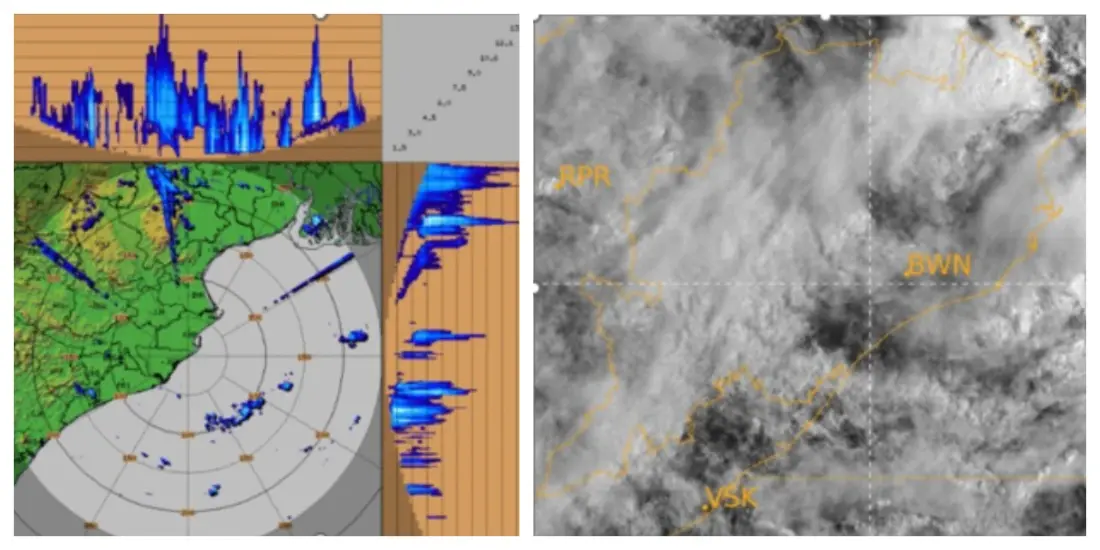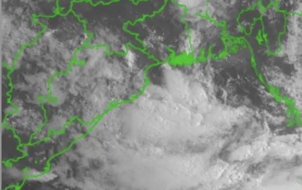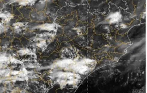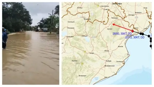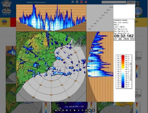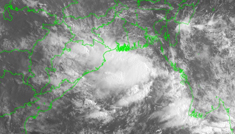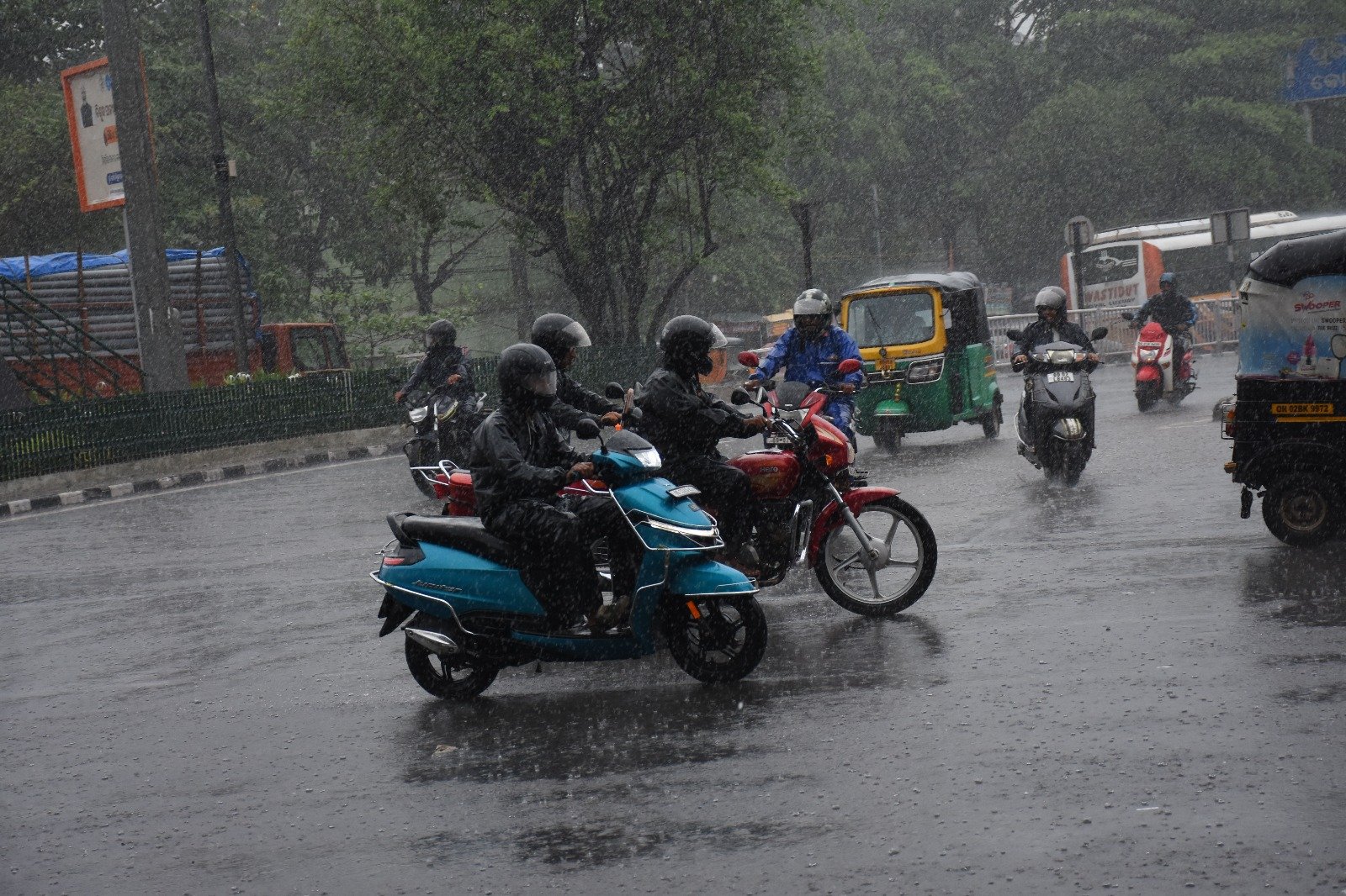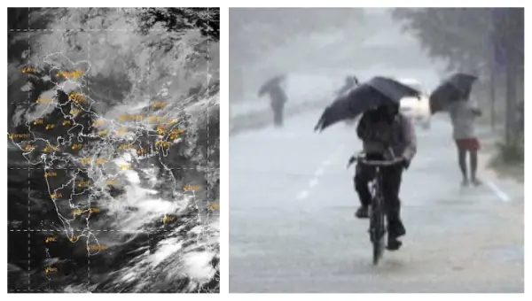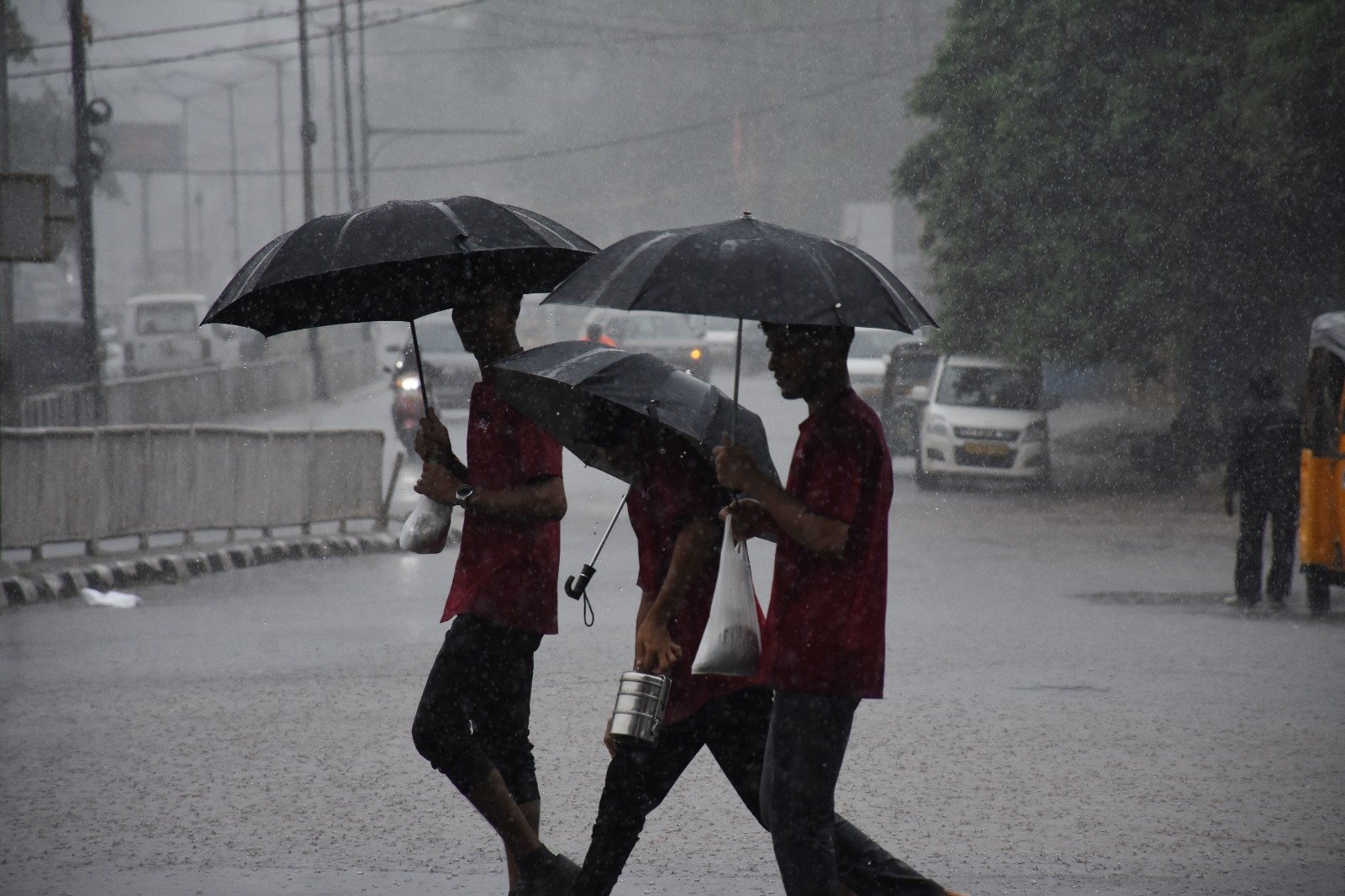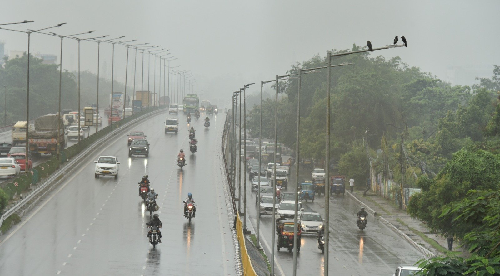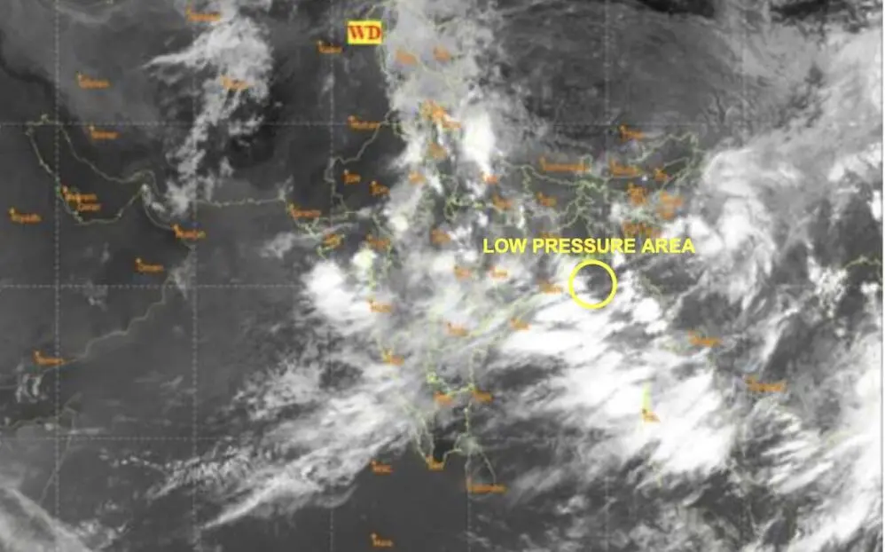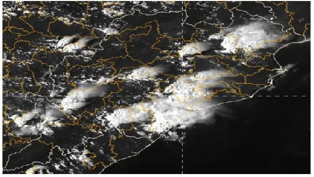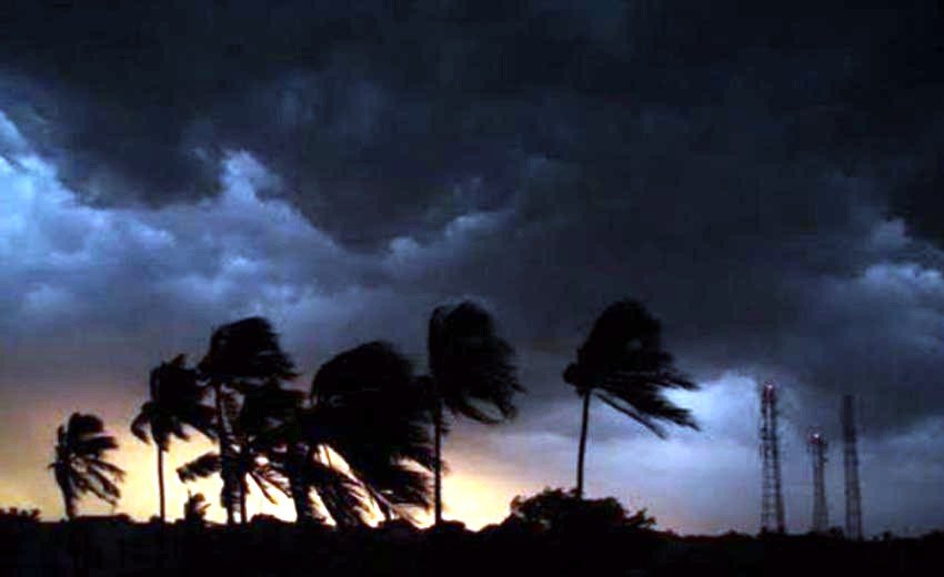

Bhubaneswar: Cyclonic Storm “Arnab” (pronounced Ornab) is currently positioned over the Eastcentral and adjacent Westcentral Bay of Bengal, moving in a west-northwest direction. It is anticipated to strengthen further before making landfall along the Andhra Pradesh and Yanam coasts as a Very Severe Cyclonic Storm by the morning of October 28.
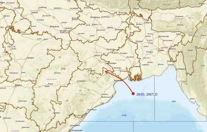
As of 8:30 AM IST on Monday, the storm was located at approximately 15.4°N latitude and 88.5°E longitude, about 580 km southeast of Gopalpur (Odisha), 610 km east-southeast of Visakhapatnam, 690 km east-southeast of Kakinada, and 860 km east-southeast of Bapatla. The system has been tracking west-northwestward at a speed of 15 km/h over the last six hours, with maximum sustained winds reaching 65-75 km/h and gusts up to 85 km/h.
The India Meteorological Department has indicated that the system is likely to develop into a Severe Cyclonic Storm over the Westcentral Bay of Bengal by the evening of October 26, and then escalate to a Very Severe Cyclonic Storm by October 27. Following this, it is expected to continue northwestward, crossing the Andhra Pradesh and Yanam coasts near Yanam, with maximum sustained winds forecasted at 115-125 km/h and gusts reaching 140 km/h by the morning of October 28.
Post landfall, the cyclone is predicted to weaken into a Cyclonic Storm by the evening of October 28, transitioning into a Deep Depression by the morning of October 29, and subsequently into a Depression and a well-marked low-pressure area in the following days as it moves northward.
Warnings for Odisha
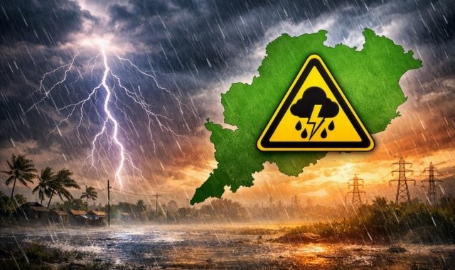
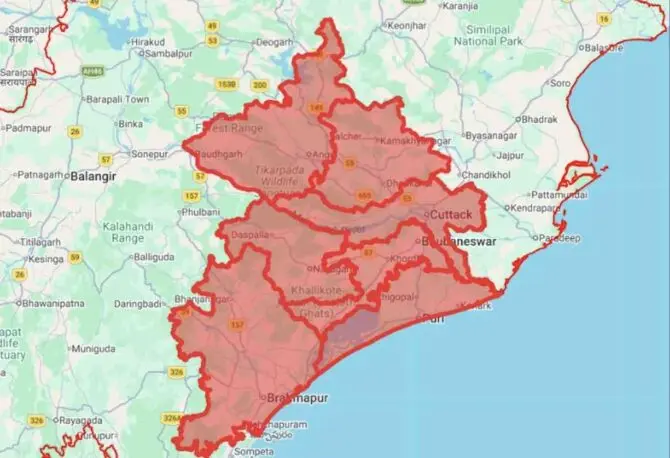
A Red alert has been issued for the coastal regions of Andhra Pradesh and South Odisha.
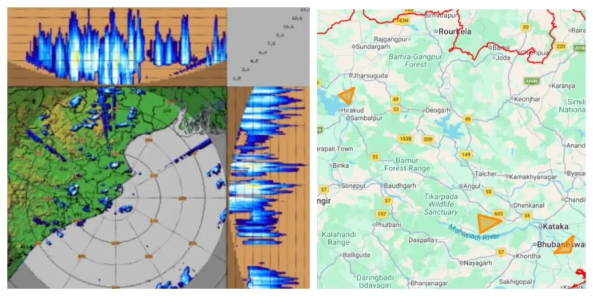
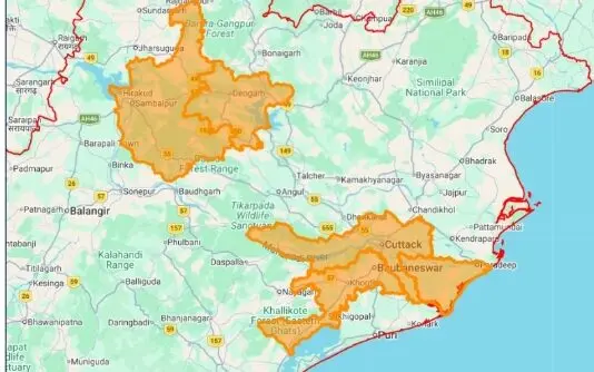
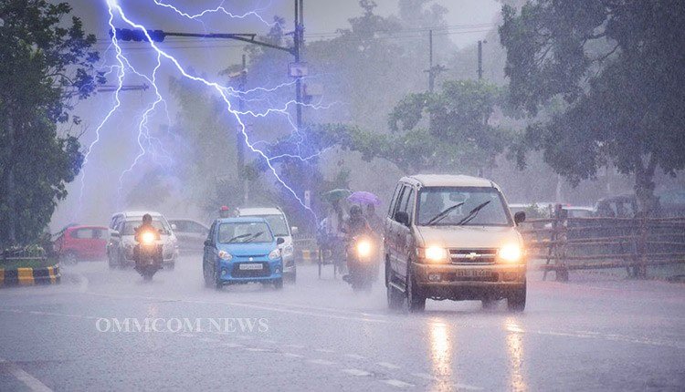
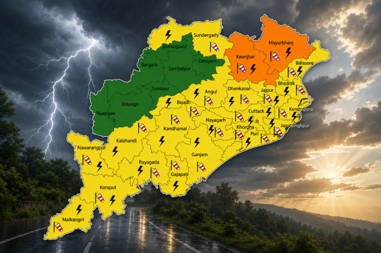
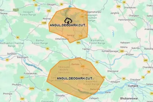
- Day 2 (8:30 AM IST Oct 27 to 8:30 AM IST Oct 28): An Orange alert (Be Prepared to Take Action) has been issued for heavy to very heavy rainfall and thunderstorms, with potential lightning and gusty winds of 40-50 km/h in areas such as Puri, Gajapati, Ganjam, Rayagada, Koraput, and Malkangiri. A Yellow alert (Be Aware) is in effect for heavy rainfall and thunderstorms with gusty winds of 30-40 km/h, reaching up to 50 km/h, across several other districts including Baleshwar, Bhadrak, Jajpur, Kendrapara, Cuttack, Khordha, Nayagarh, and more.
- Day 3 (8:30 AM IST Oct 28 to 8:30 AM IST Oct 29): A Red alert (Take Action) has been issued for heavy to very heavy rainfall at several locations, with extremely heavy rainfall possible in select areas of Gajapati, Ganjam, Rayagada, Koraput, and Malkangiri, along with thunderstorms and gusty winds of 60-70 km/h, gusting to 80 km/h. Orange and Yellow alerts will extend to numerous other districts.
- Day 4 (8:30 AM IST Oct 29 to 8:30 AM IST Oct 30): An Orange alert is in place for heavy to very heavy rainfall over Sundargarh, Jharsuguda, and Bargarh, while a Yellow alert covers several additional districts.
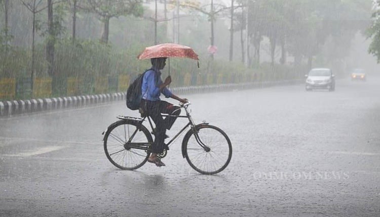
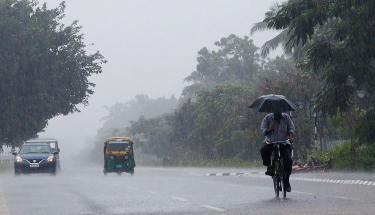
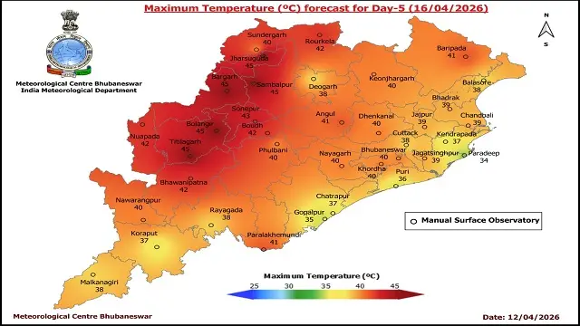
Light to moderate rainfall or thunderstorms are expected across most of Odisha from Days 2 to 4, and at many locations on Day 5.
Wind, Sea, and Fishermen Advisories
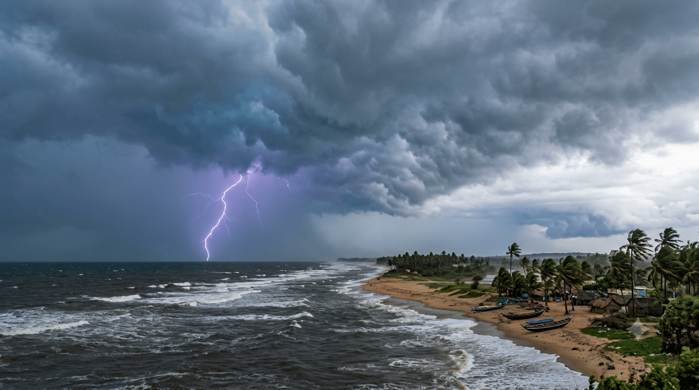
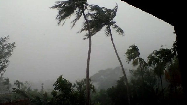
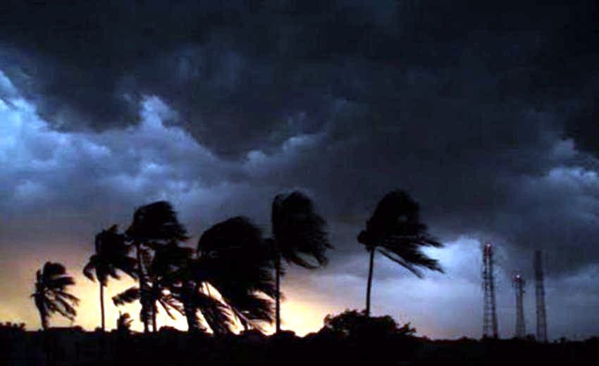
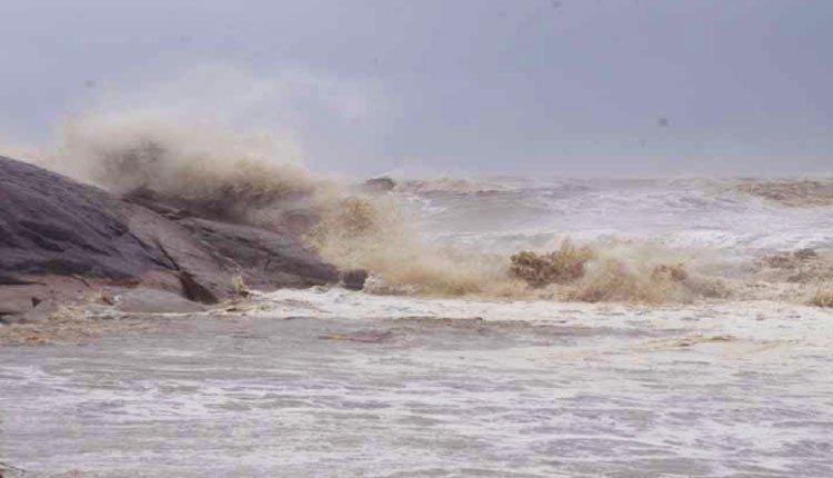
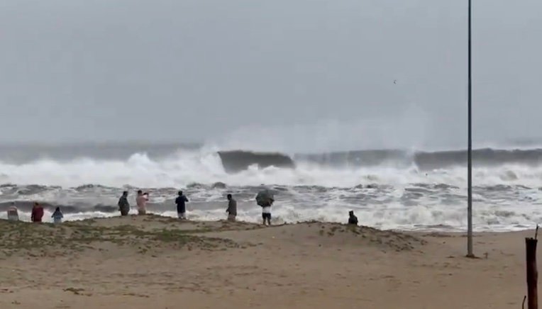
Gale-force winds of 65-75 km/h, with gusts up to 85 km/h, are already being experienced over the Eastcentral and adjacent Westcentral Bay of Bengal, and these are projected to escalate to 115-125 km/h, gusting to 140 km/h, near the time of landfall. Squally weather with winds of 40-50 km/h, gusting to 60 km/h, is expected along the South Odisha coast starting the morning of October 27, intensifying thereafter.
Sea conditions are forecasted to become extremely turbulent over the Westcentral Bay of Bengal from the afternoon of October 27 until landfall. Fishermen are strongly advised against venturing into the Westcentral Bay of Bengal from October 26 to 29, and along the Andhra Pradesh-Odisha coasts from October 27 to 29, among other restricted areas.
Port signals include Distant Warning Signal No. II (DW-II) at Paradip and Dhamra, and Local Warning Signal No. IV (LW-IV) at Puri and Gopalpur.
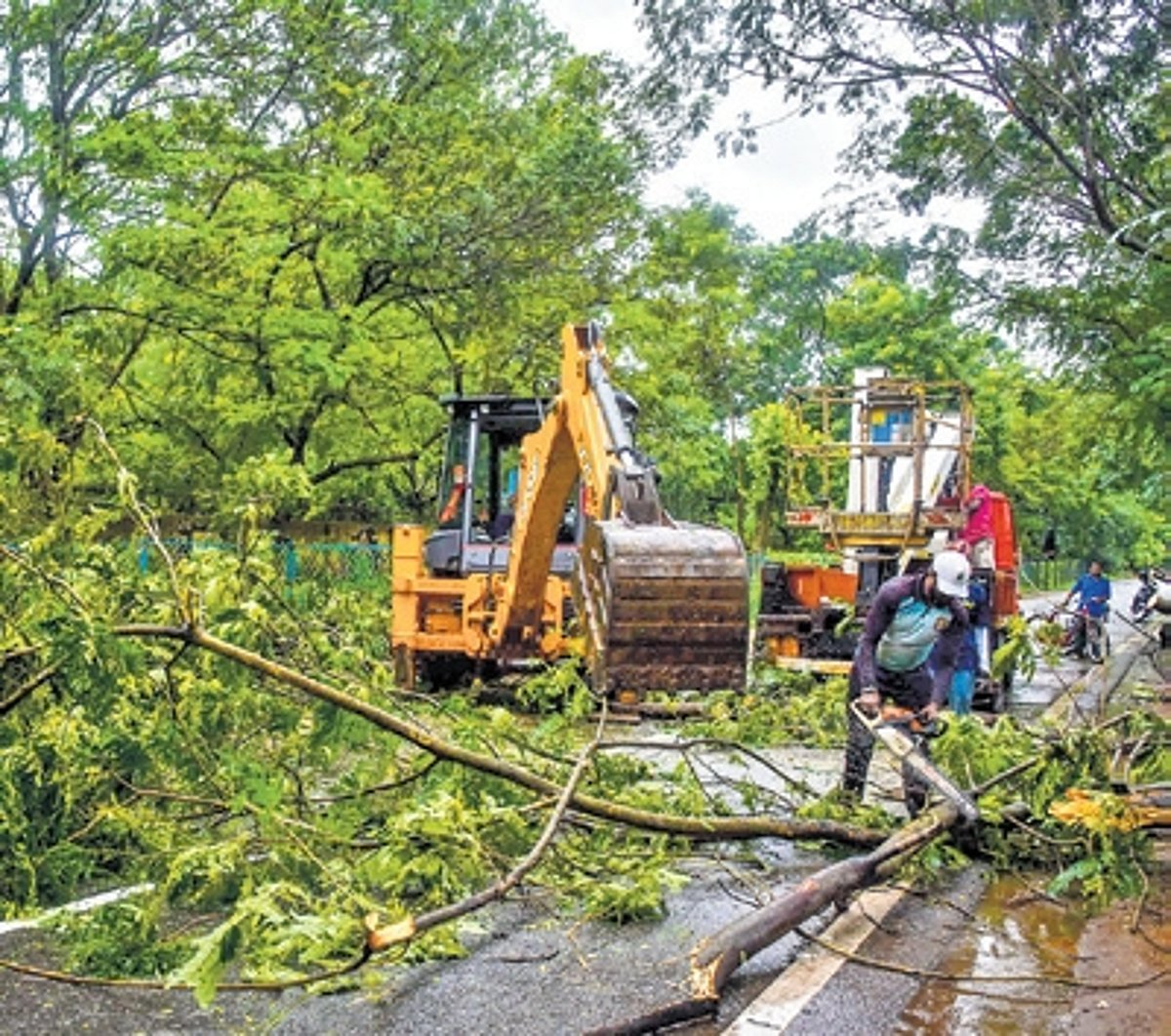
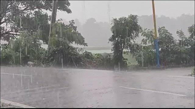
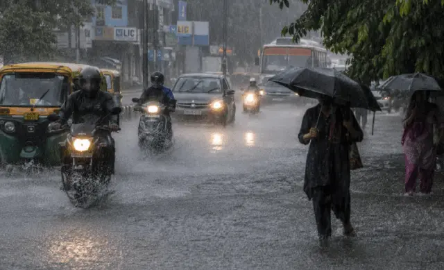
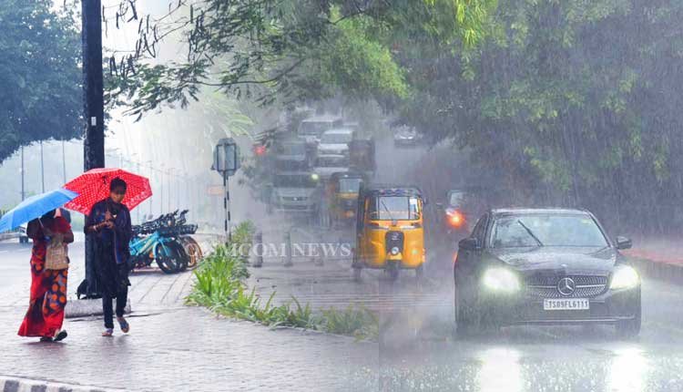
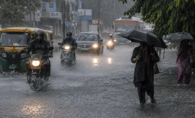
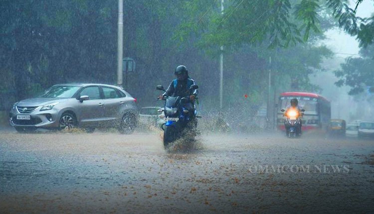
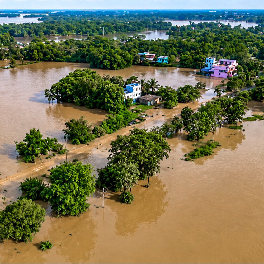
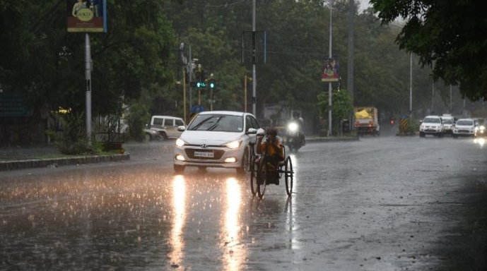
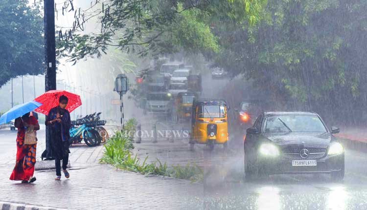
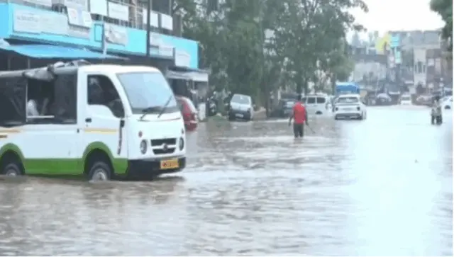
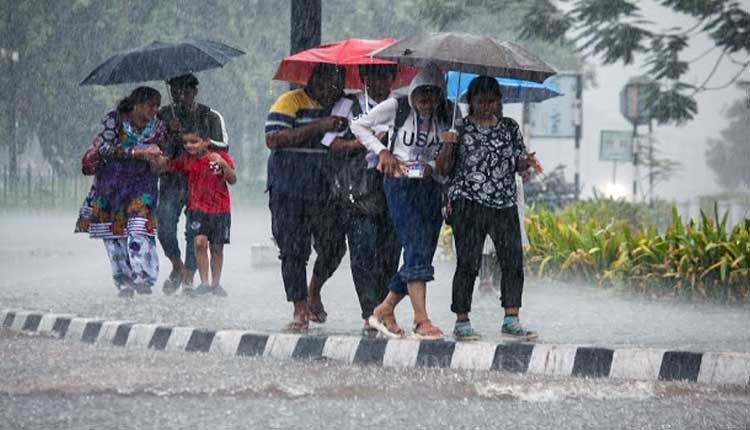
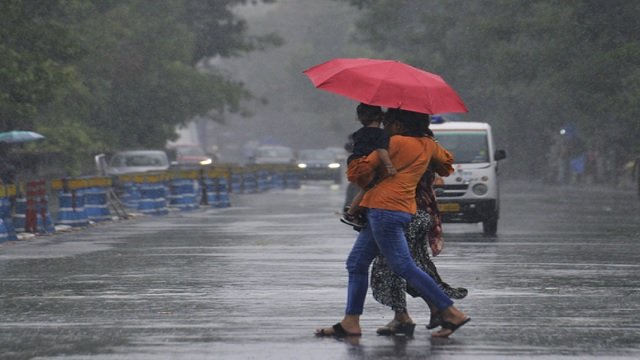
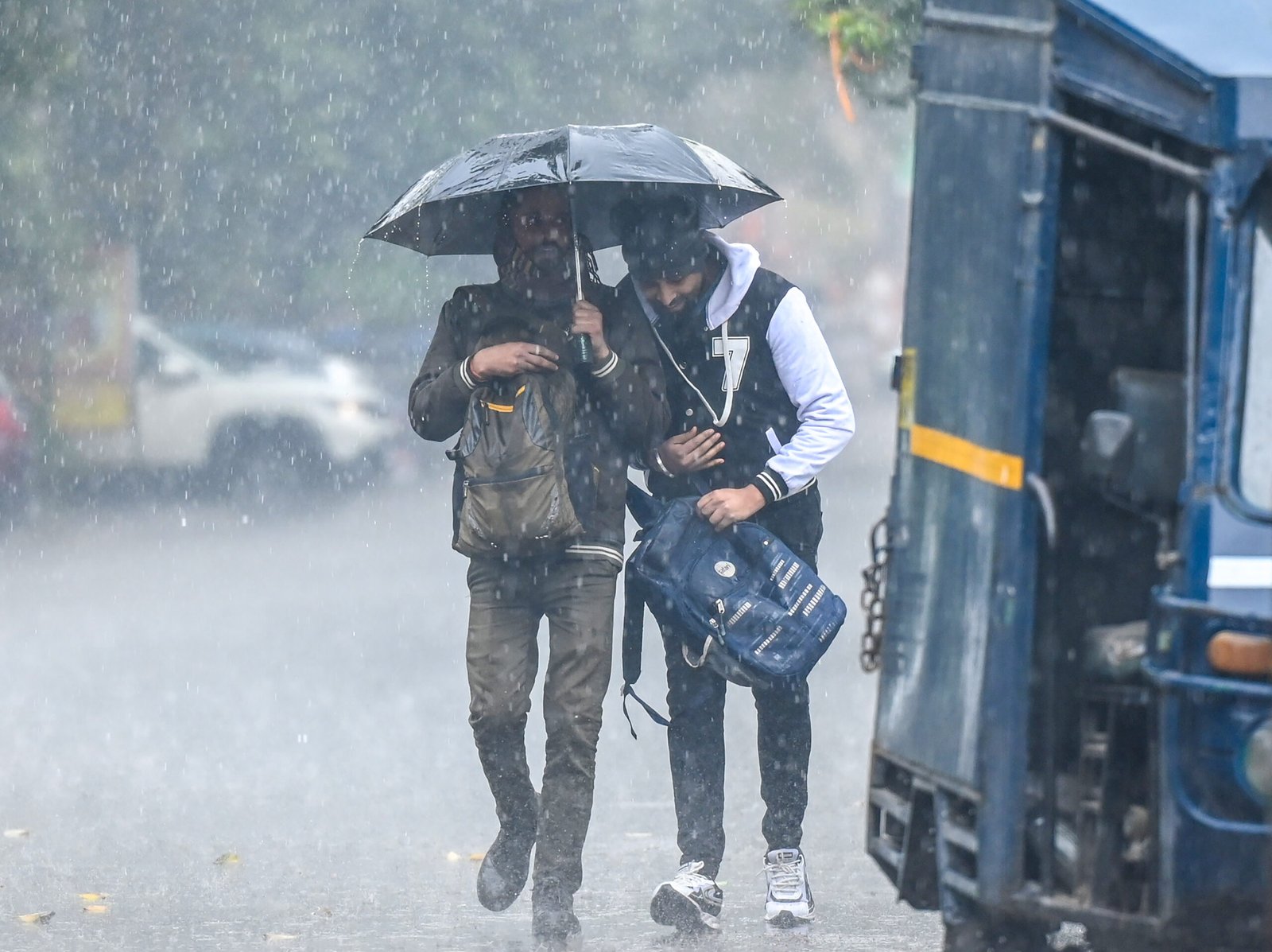
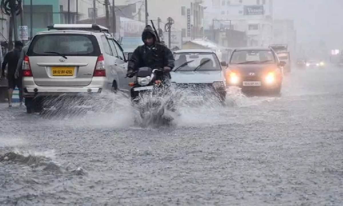
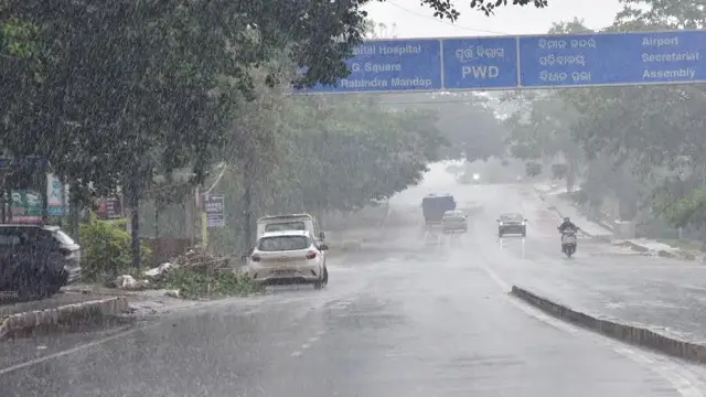
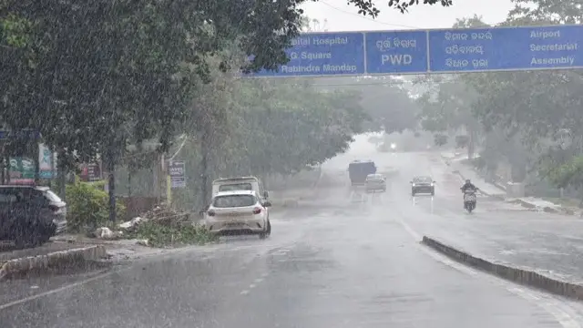
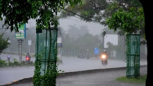
Strong winds may cause damage to plantations, horticulture, and standing crops, leading to minor to moderate damage to vulnerable structures, uprooted trees, and disruptions in power and communication lines. Heavy rainfall could result in localized flooding, waterlogging, traffic disruptions, and landslides in susceptible areas. Marine and inland water transport, as well as onshore and offshore operations, may also face interruptions.
Residents are urged to remain indoors, limit travel if possible, seek safe shelter, disconnect electrical devices, avoid water bodies, and adhere to official guidance. Activities related to tourism, recreation, and helicopter services should be closely monitored.