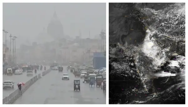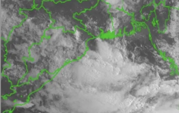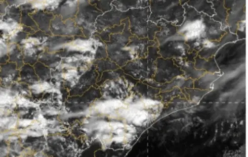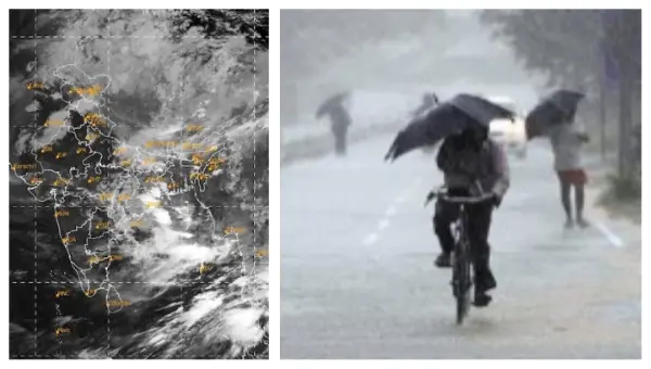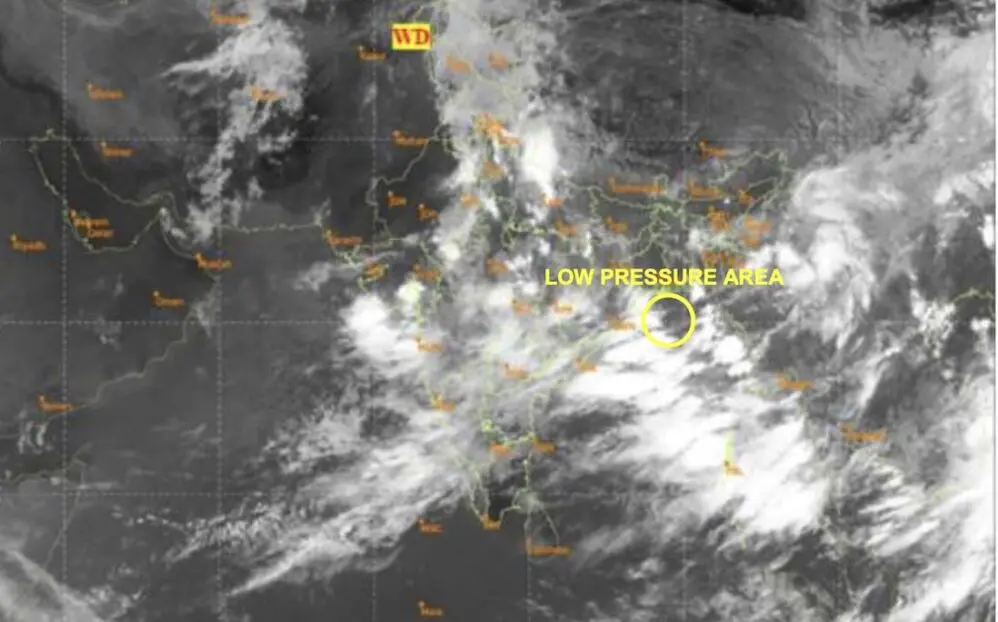
According to the India Meteorological Department (IMD), an upper-air cyclonic circulation was noted over northern Thailand on Wednesday.
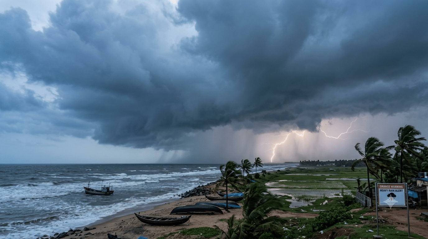
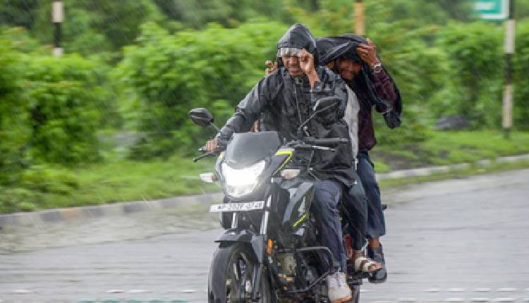
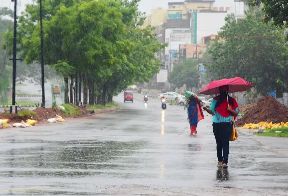
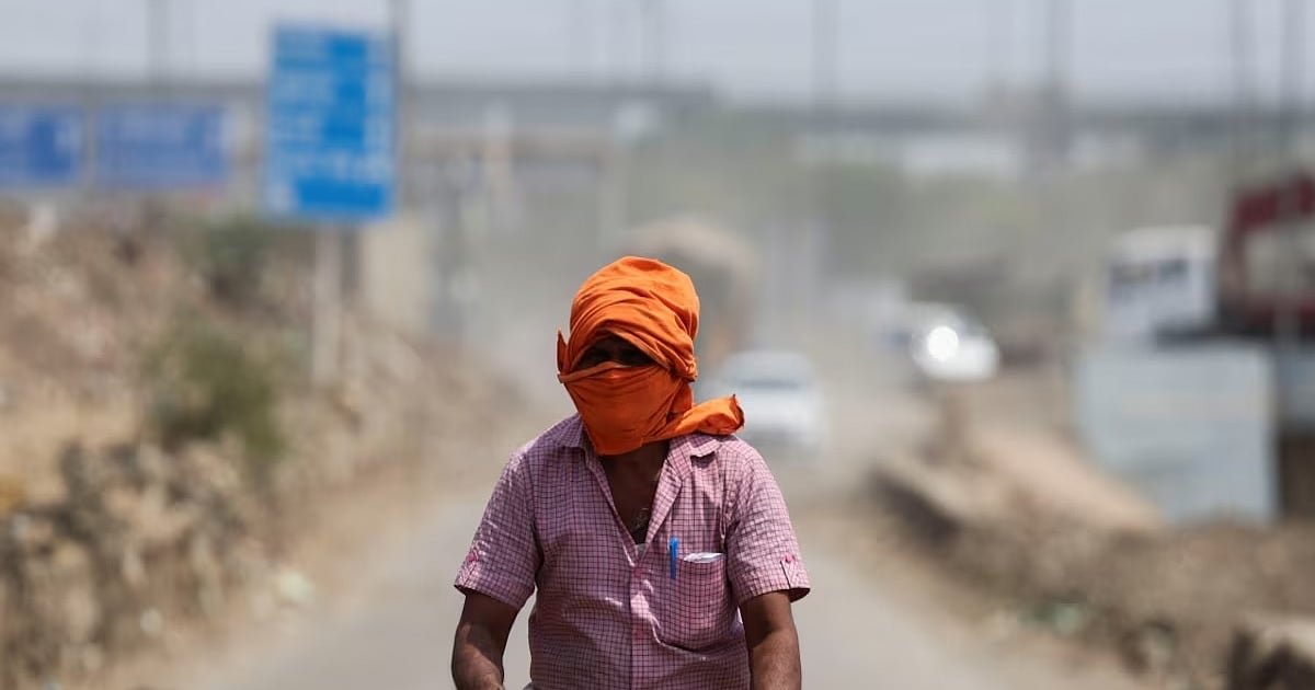
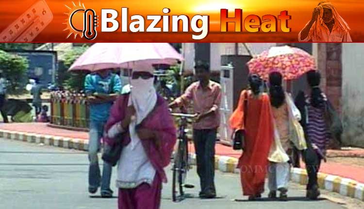
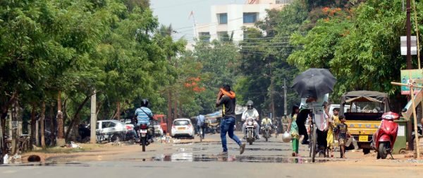
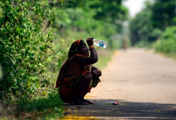
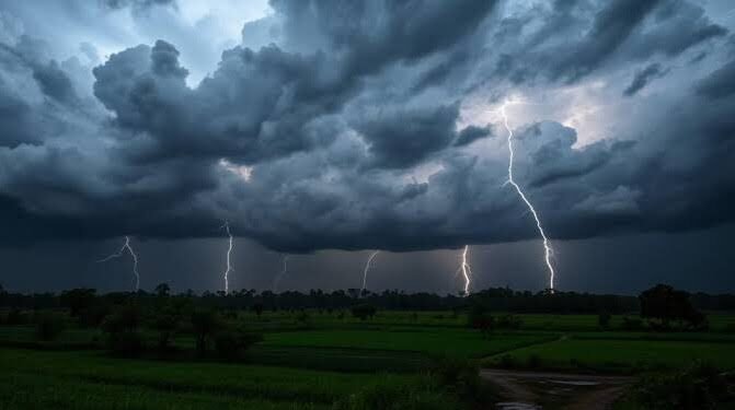
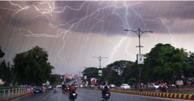
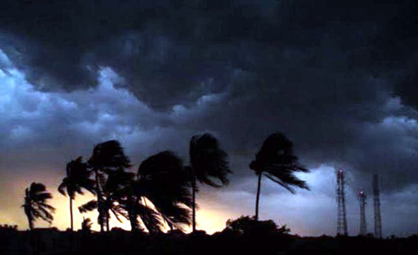
BHUBANESWAR: The hot and humid conditions currently affecting the region are expected to ease as a new low pressure system is predicted to develop over the Bay of Bengal by the weekend.
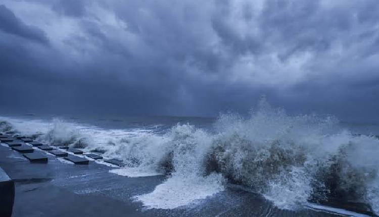
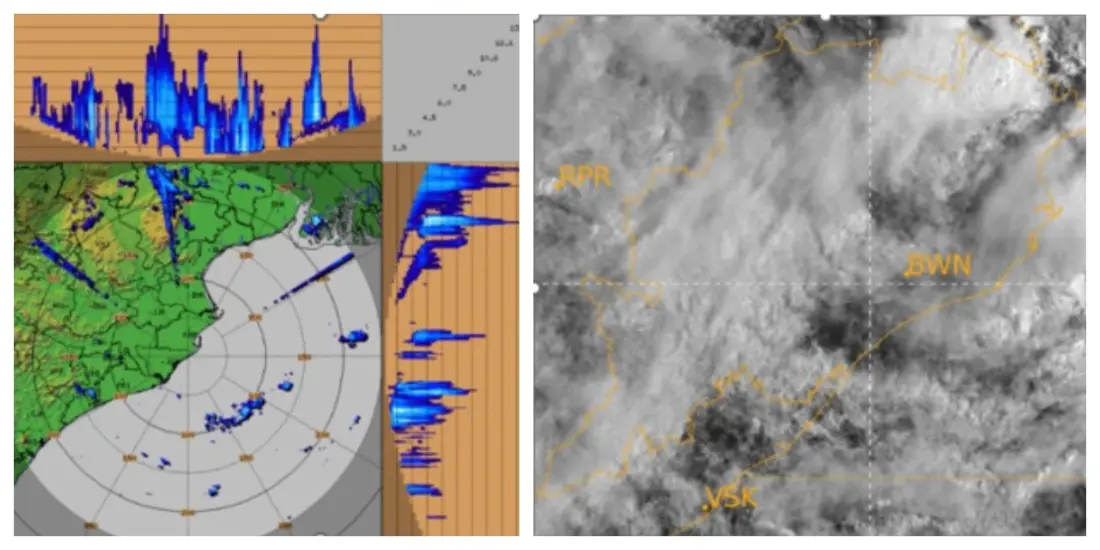
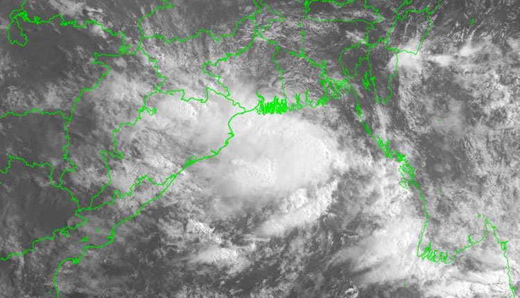
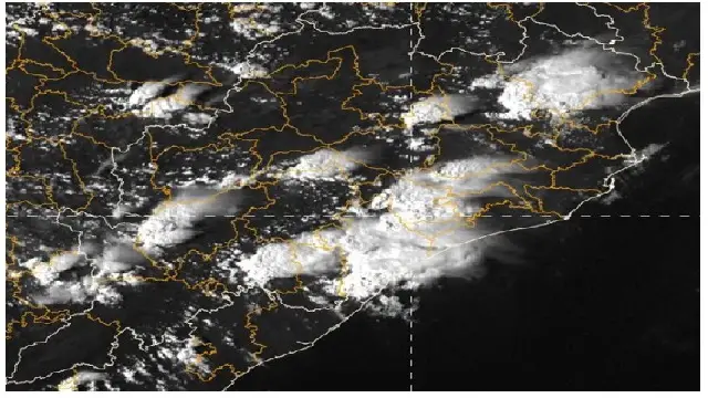
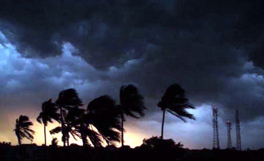
The IMD reported that the upper-air cyclonic circulation is expected to transition into the north Andaman Sea by Friday evening. This development is anticipated to lead to the formation of a low pressure area in the same region on Saturday.
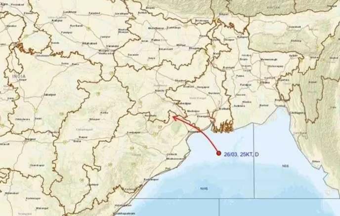
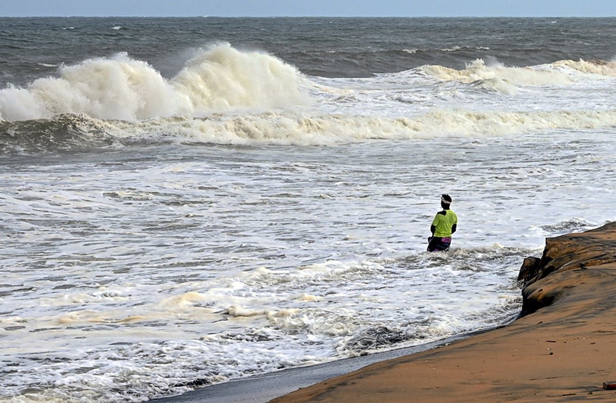
Manorama Mohanty, Director of the Bhubaneswar Meteorological Centre, stated, “The expected low pressure area is likely to strengthen gradually and shift west-northwest towards the coasts of south Odisha and north Andhra Pradesh over the next three to four days.”
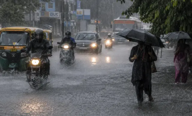
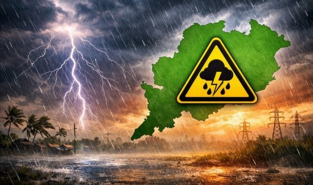
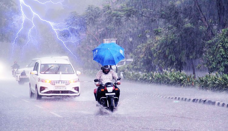
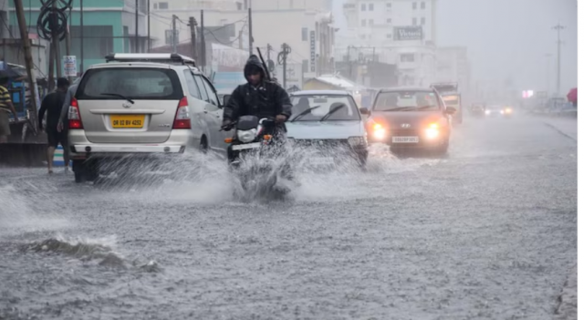
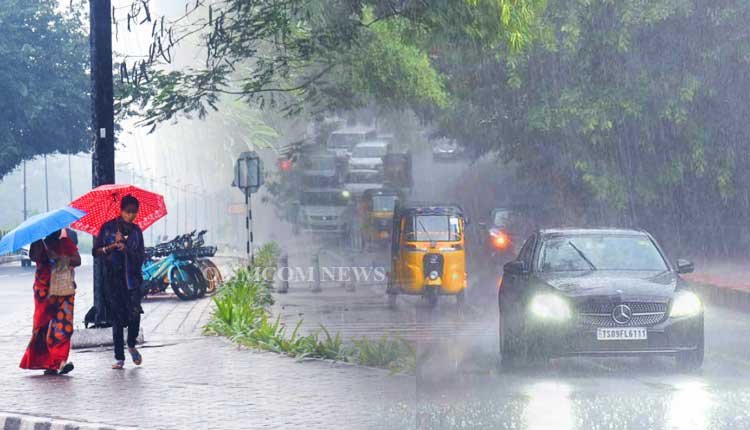
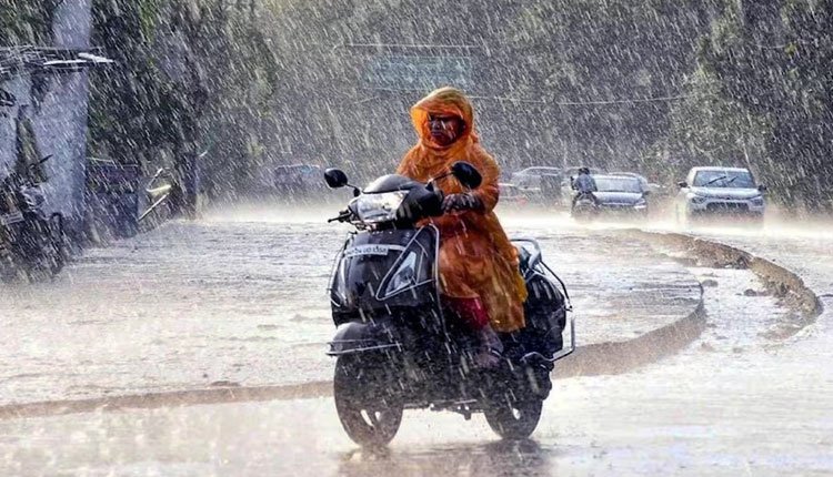
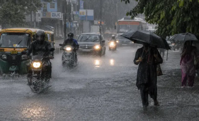
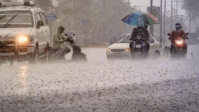
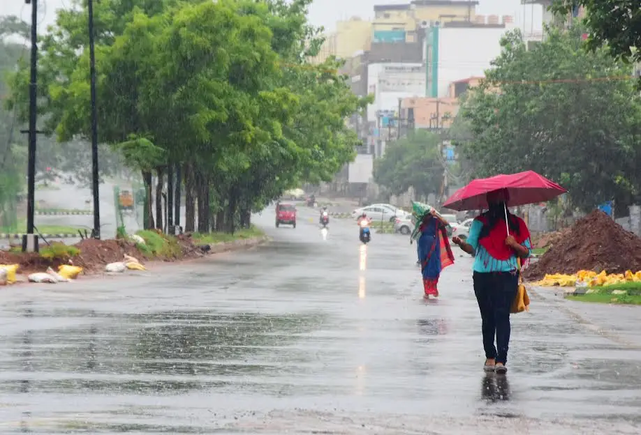
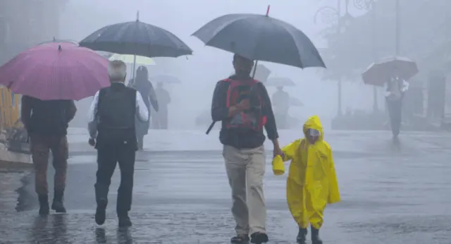
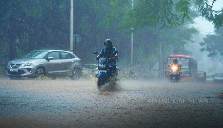
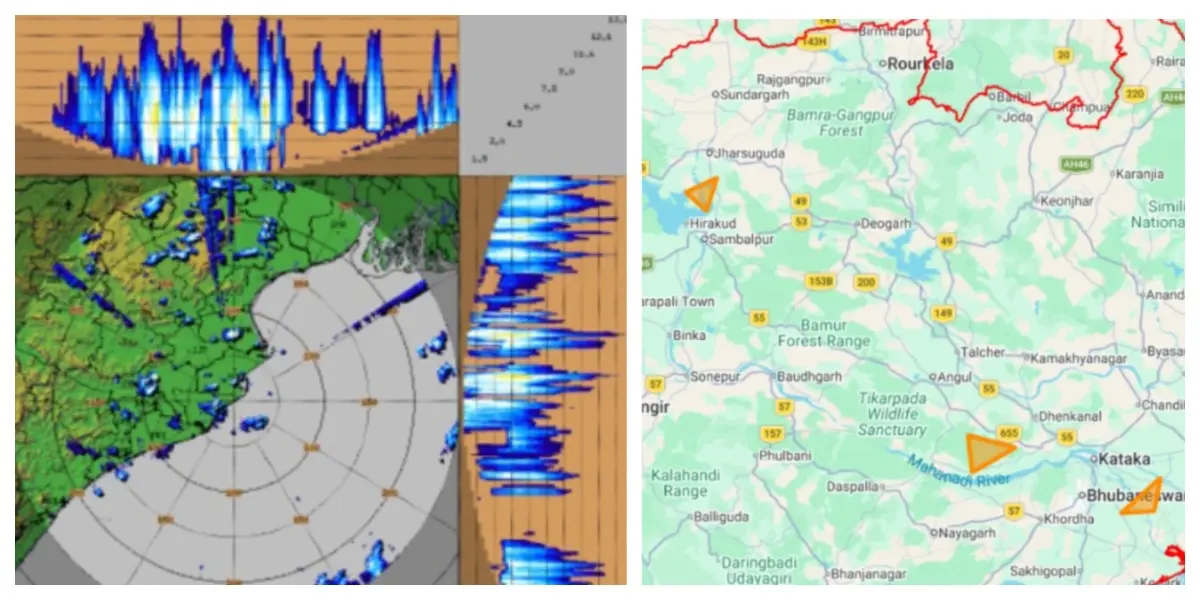
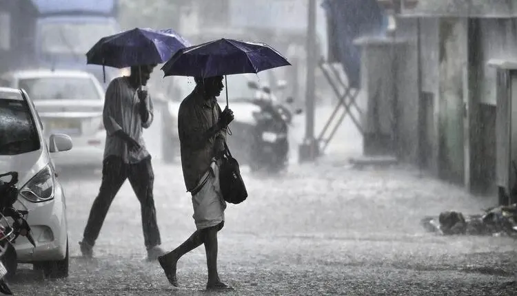
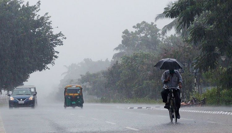
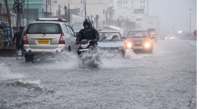
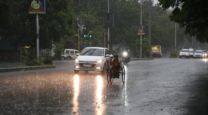
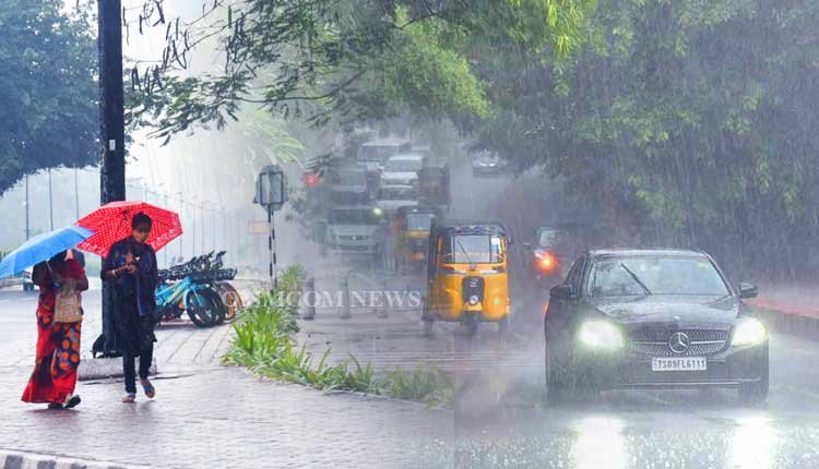
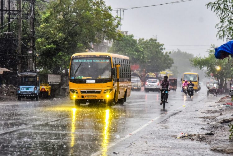
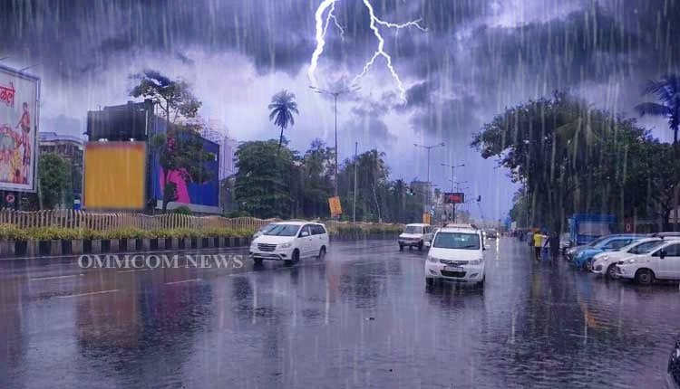
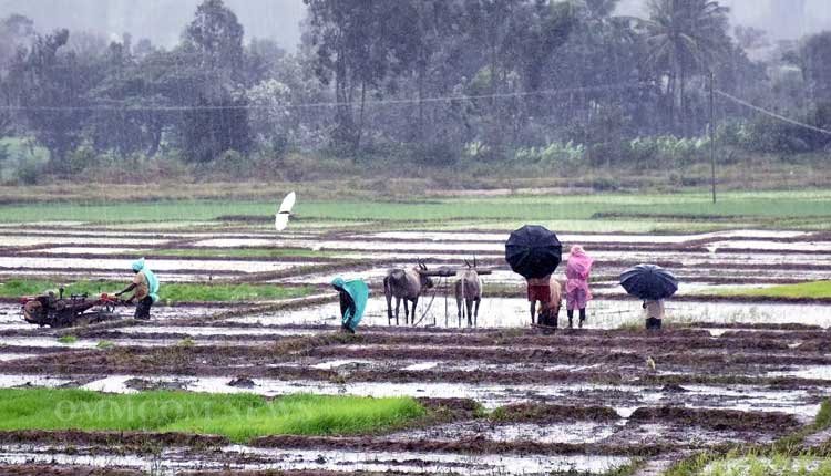
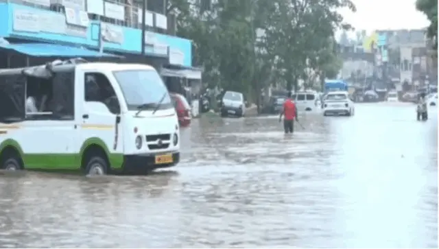
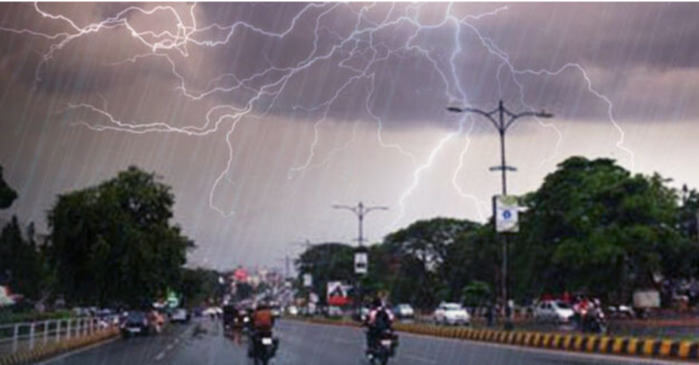
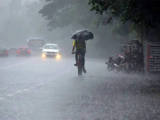
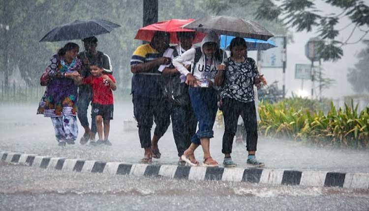
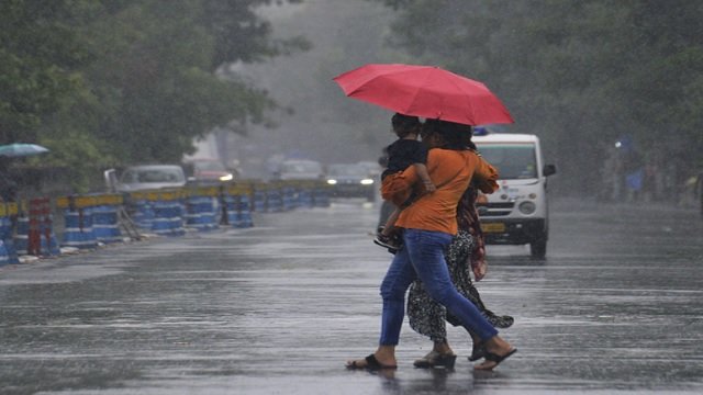
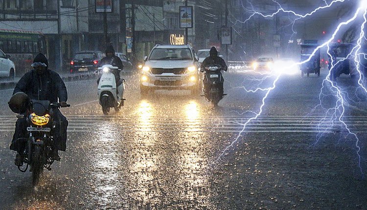
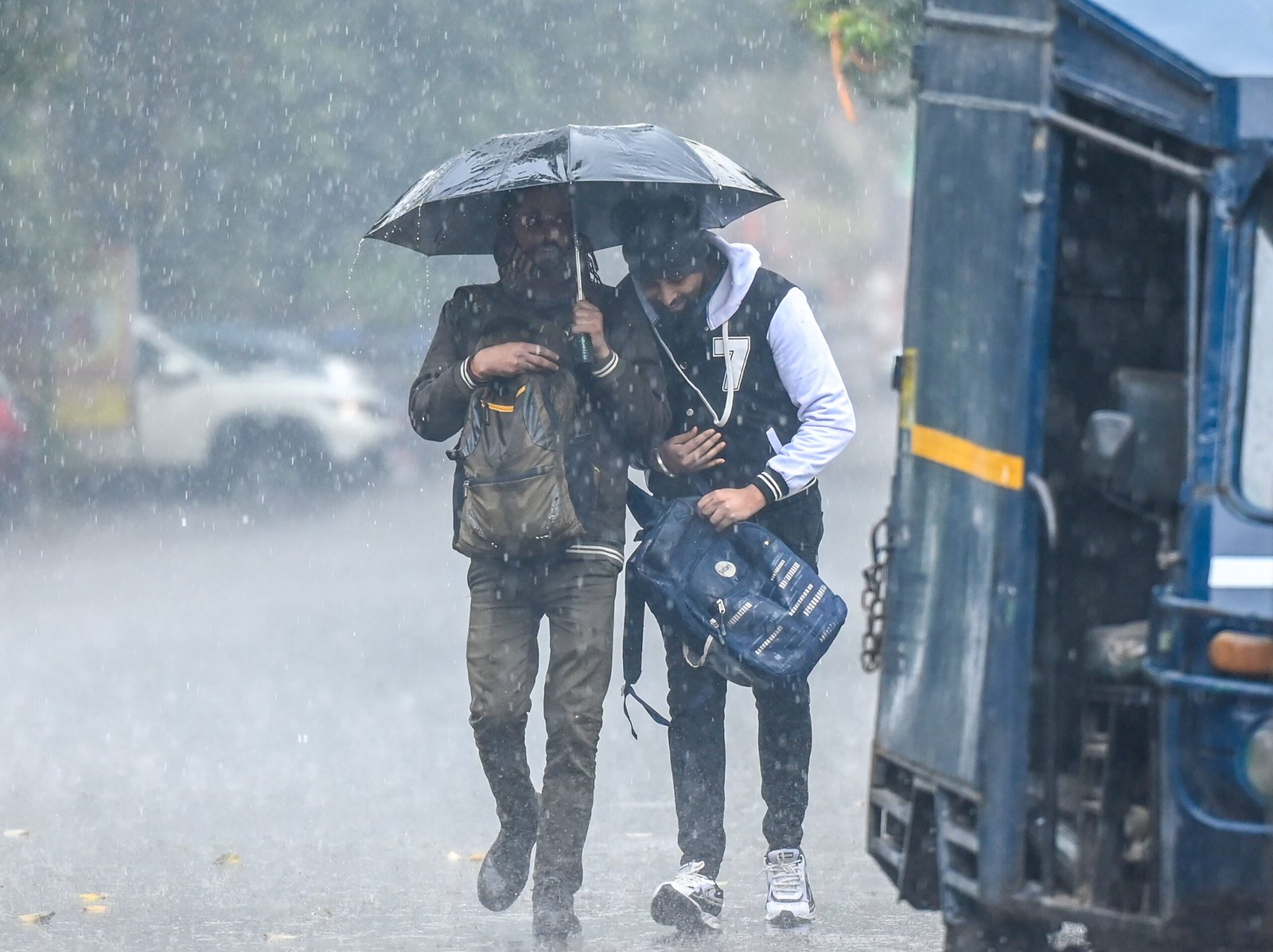
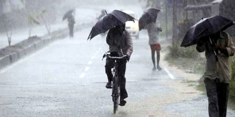
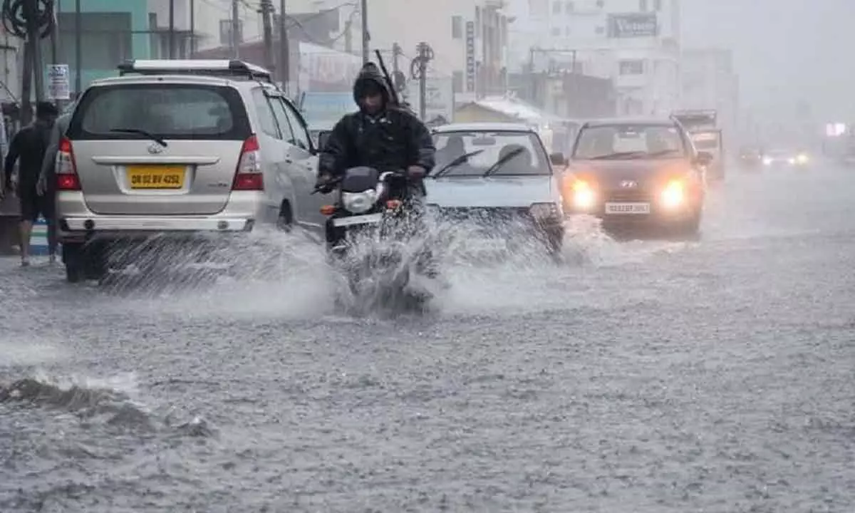
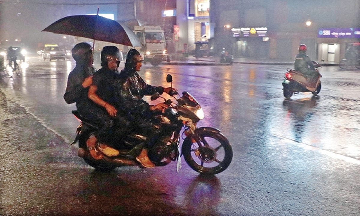
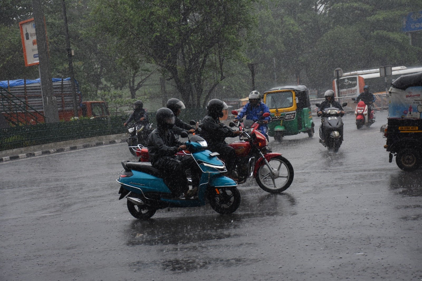
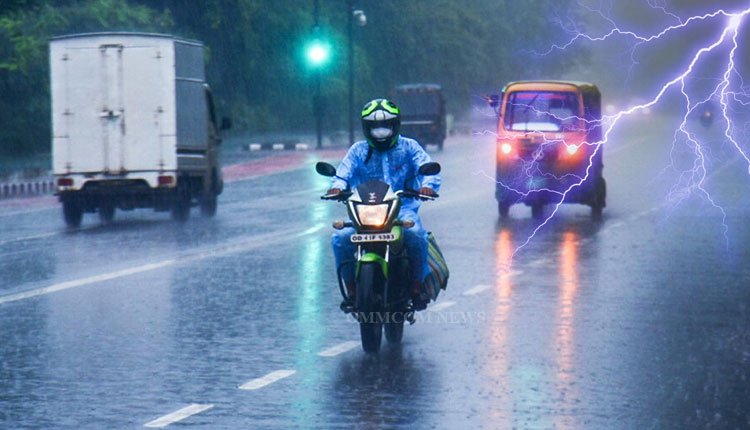
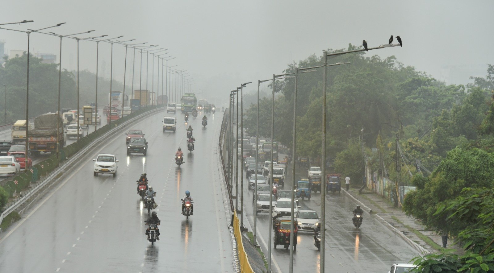
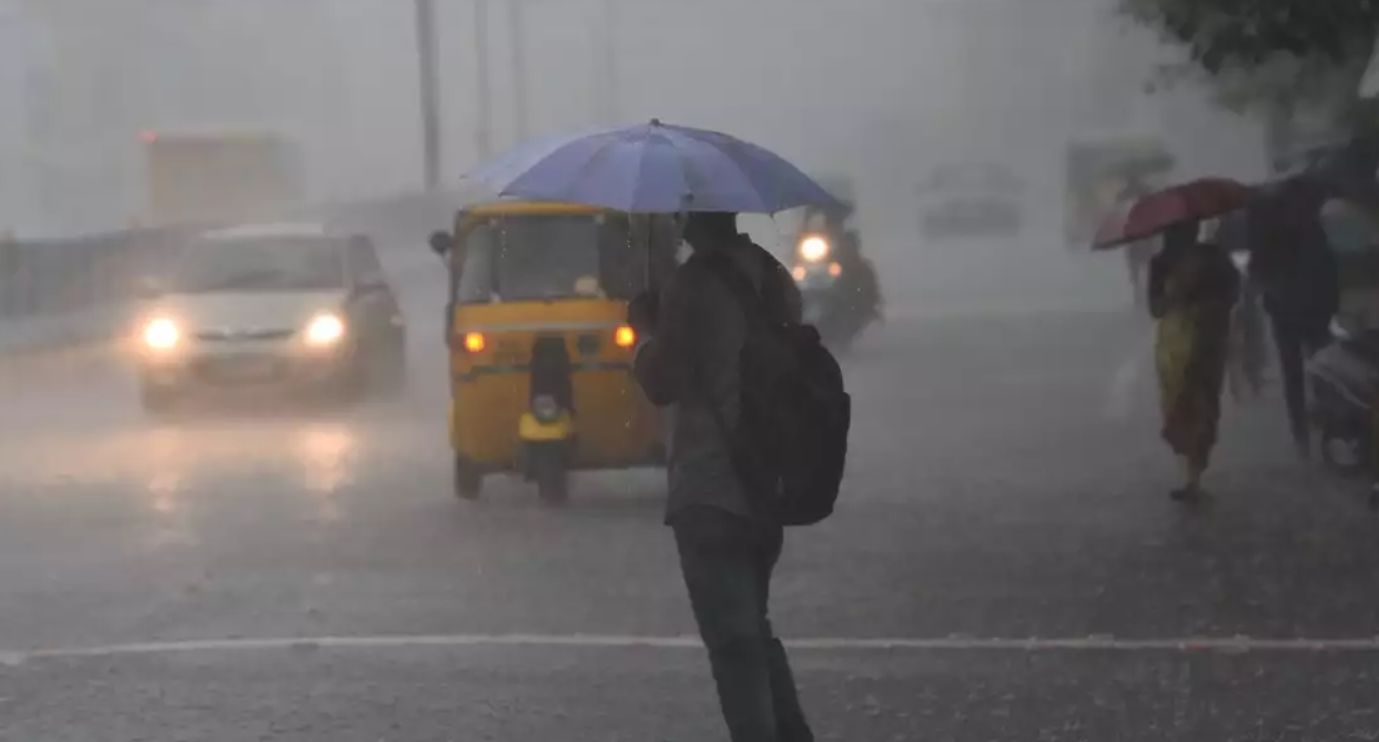
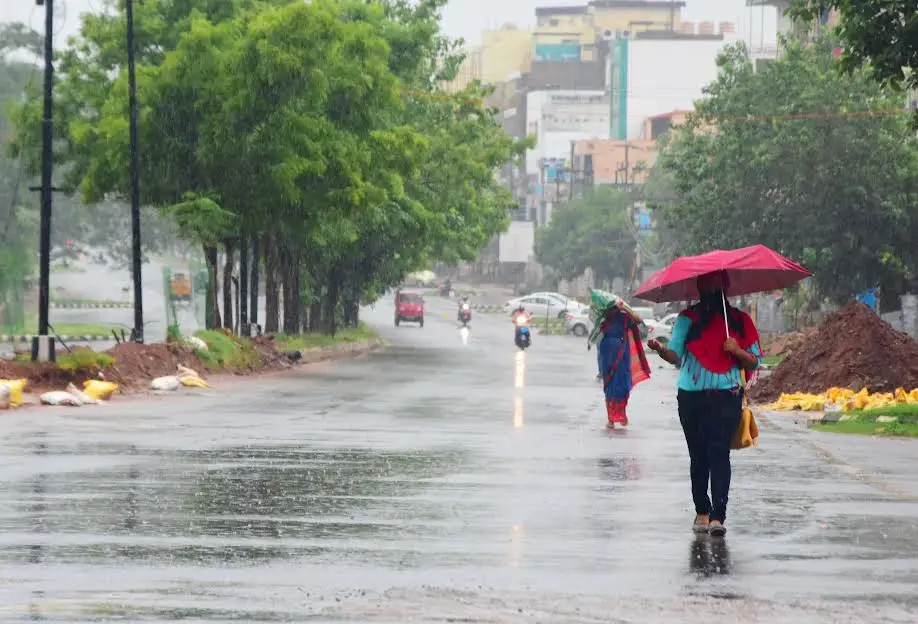
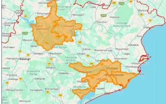
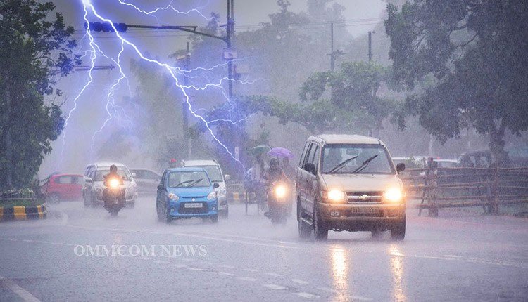
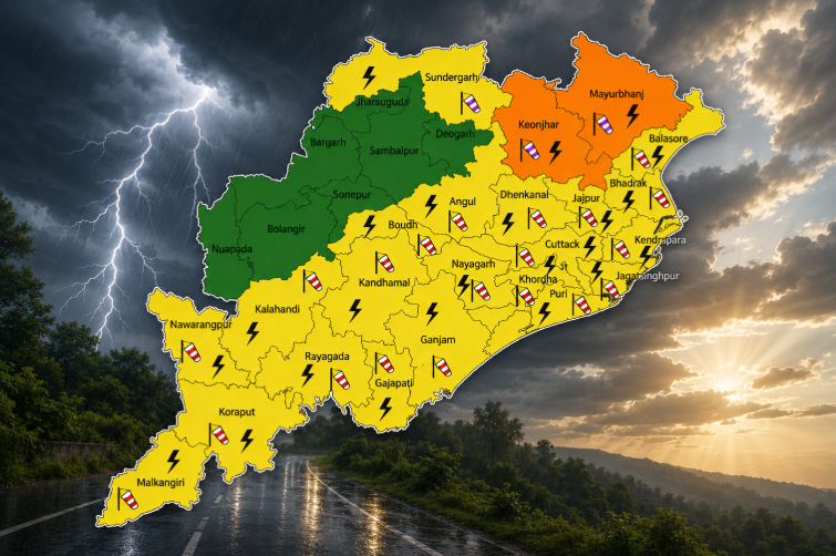
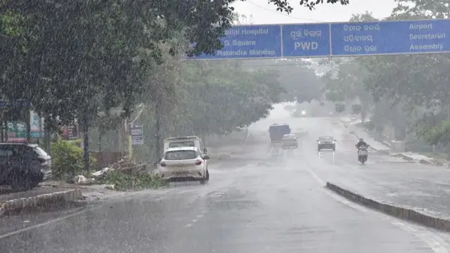
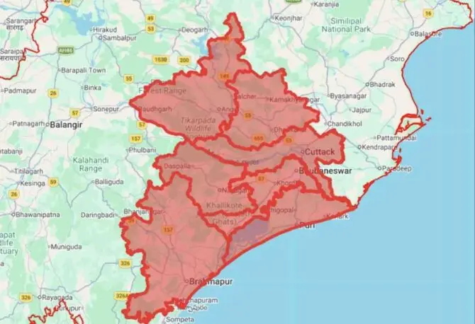
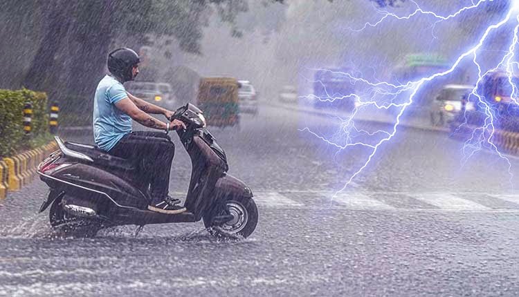
The regional meteorological office has predicted heavy rainfall in several districts including Mayurbhanj, Rayagada, Koraput, Malkangiri, Gajapati, and Ganjam on Saturday. On Sunday, isolated areas in Kalahandi, Rayagada, Koraput, Malkangiri, Gajapati, and Ganjam are also expected to see rain.
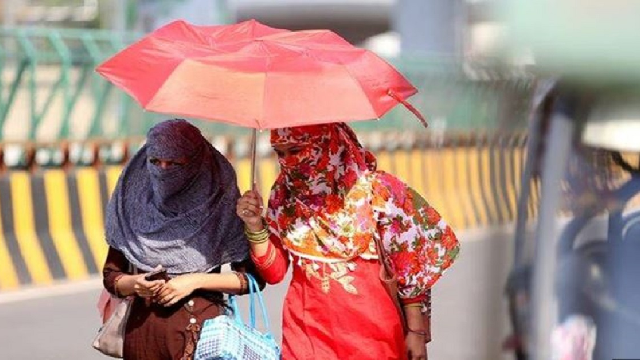
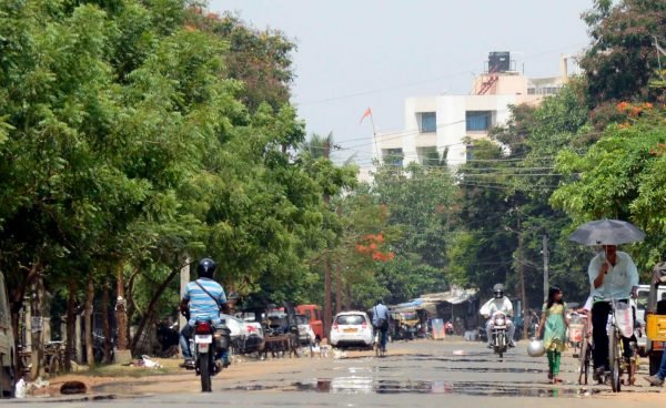
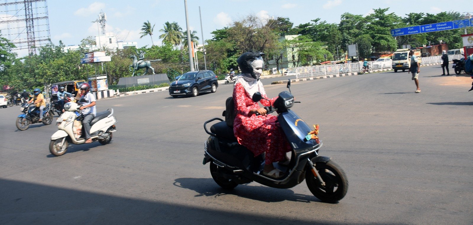
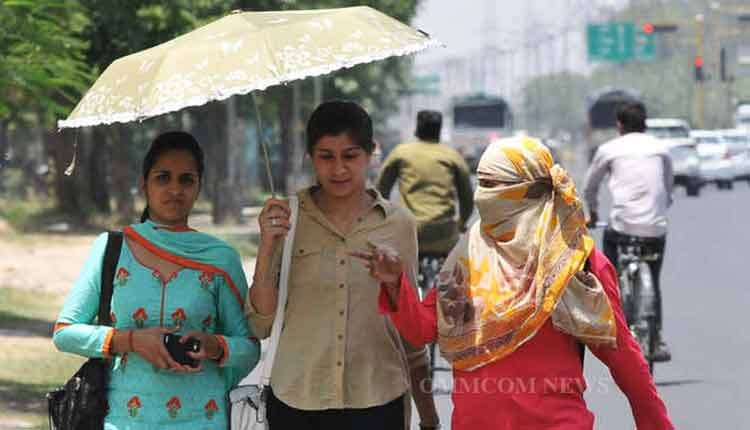
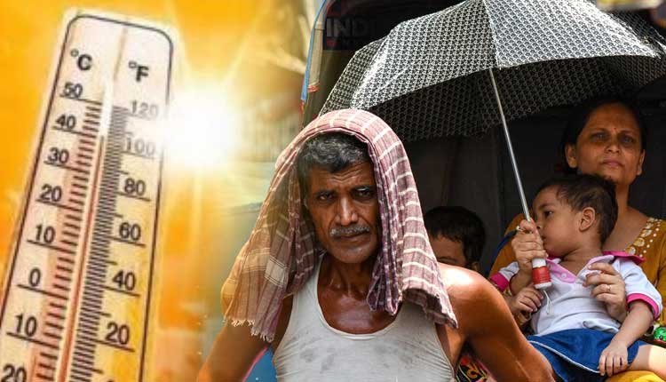
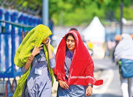
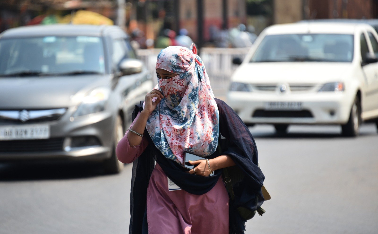
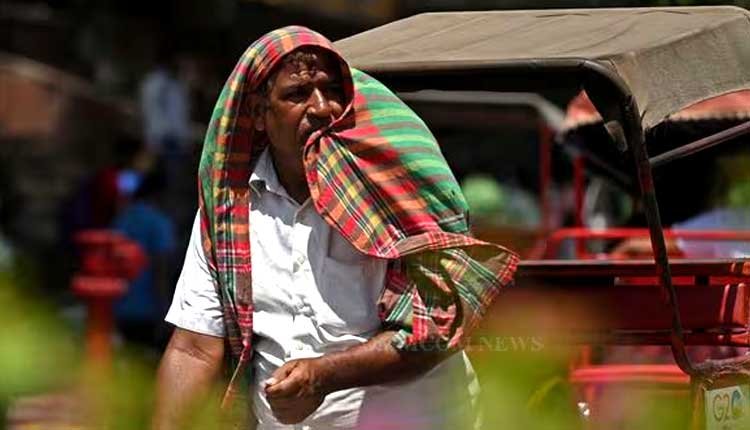
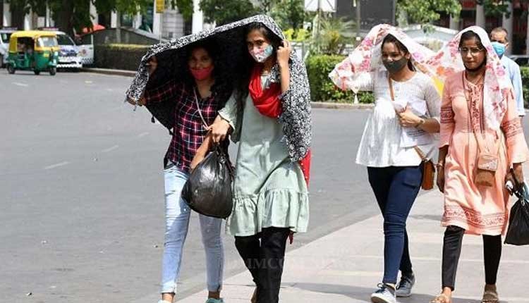
Once established, this will mark the 12th low pressure area in the Bay of Bengal for the current monsoon season. Additionally, the state has experienced a rise in temperature and humidity due to a temporary decrease in rainfall activity.
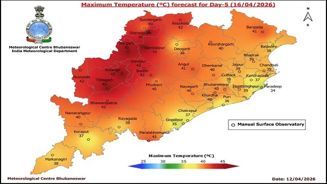
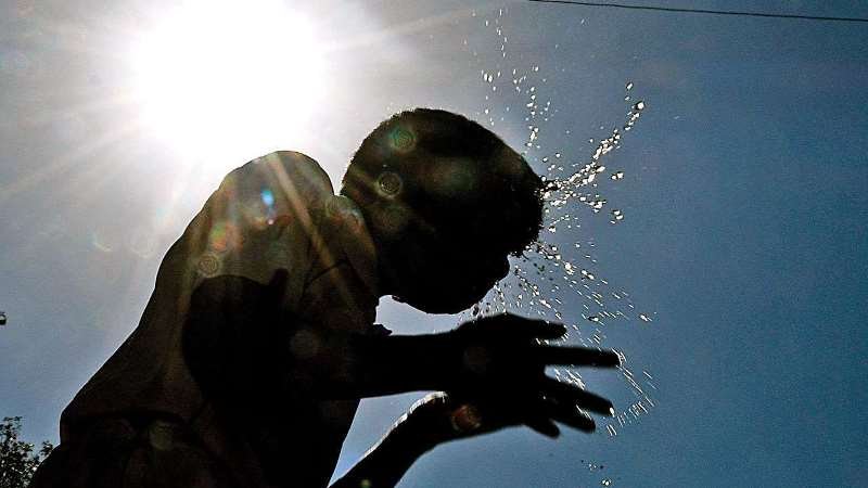
On the day of reporting, two locations recorded temperatures of 36 degrees Celsius or higher. Dhenkanal was noted as the hottest at 36.1 degrees Celsius, followed by Chandbali at 36 degrees Celsius, and Jharsuguda at 35.6 degrees Celsius. Titilagarh and Bhadrak each reached 35.5 degrees Celsius, while Puri recorded 35.4 degrees Celsius. The Twin Cities of Bhubaneswar and Cuttack reported temperatures of 34 degrees Celsius and 34.8 degrees Celsius, respectively.