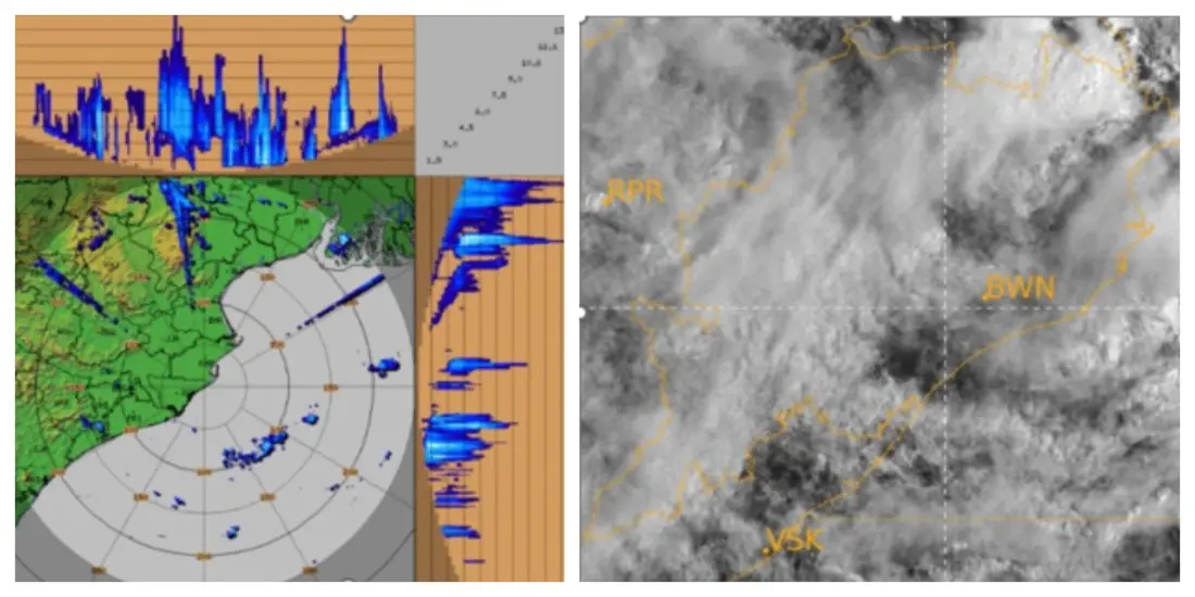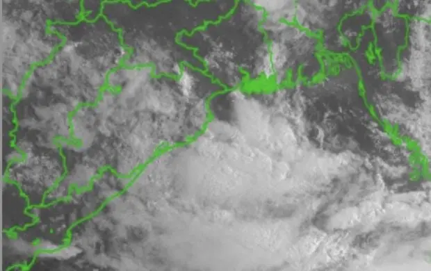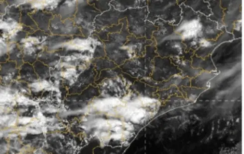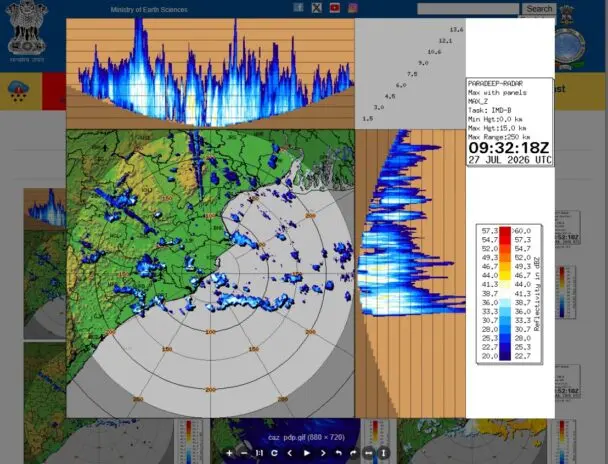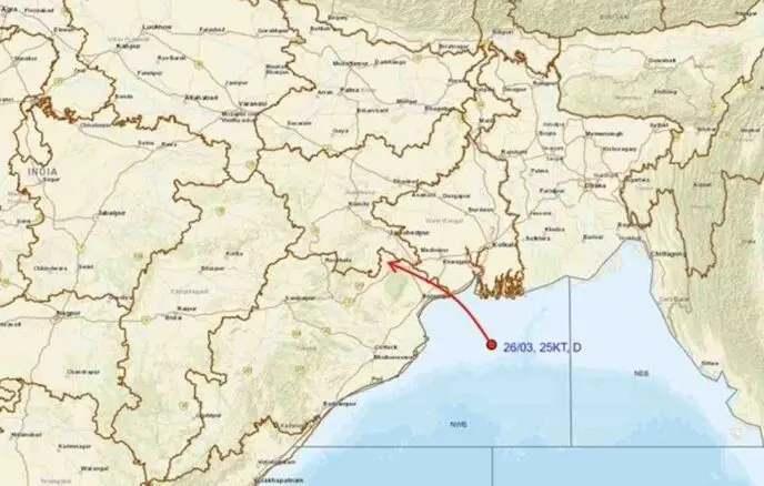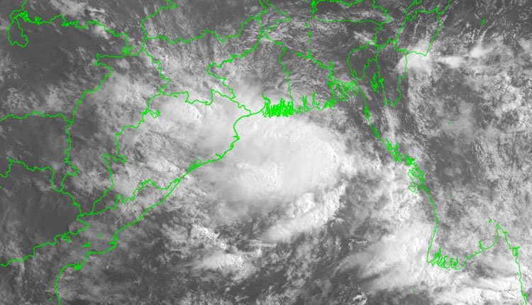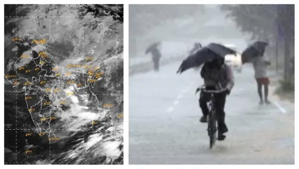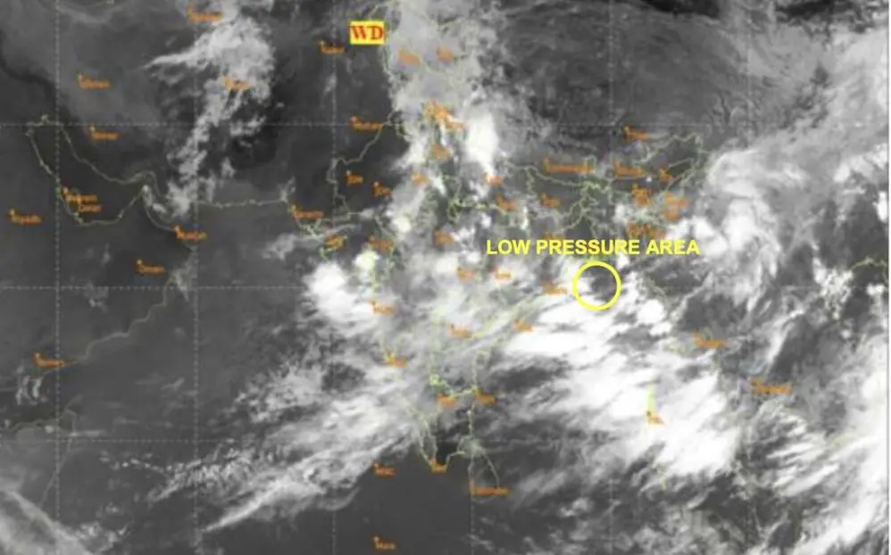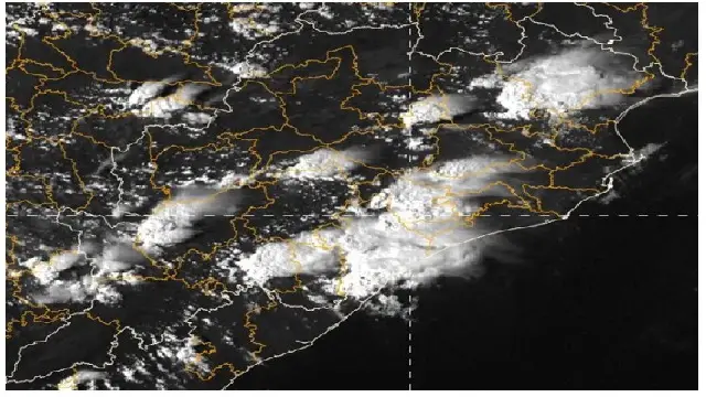
Bhubaneswar: The Deep Depression that formed over the northwest Bay of Bengal made landfall near the coast of West Bengal and northern Odisha, close to Digha, late Monday, as reported by the India Meteorological Department (IMD).
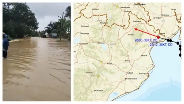
At 5:30 am, the weather system was located approximately 30 km west-northwest of Digha (West Bengal), 30 km northeast of Baleshwar (Odisha), 50 km east-southeast of Baripada (Odisha), 160 km southeast of Jamshedpur (Jharkhand), and 170 km east of Kendujhar (Odisha). The IMD noted that the system is expected to continue its west-northwestward trajectory across northern Odisha, southern Jharkhand, and northern Chhattisgarh over the next 24 hours.
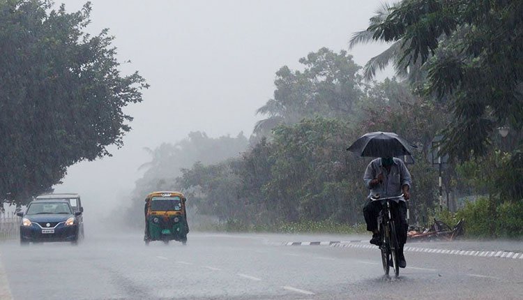
Due to the system’s effects, Baleshwar recorded an impressive 246.6 mm of rainfall in the 24 hours leading up to 8:30 am. Other areas also experienced significant precipitation, with Nilagiri receiving 239 mm, Remuna 222 mm, and Betanati 202 mm.
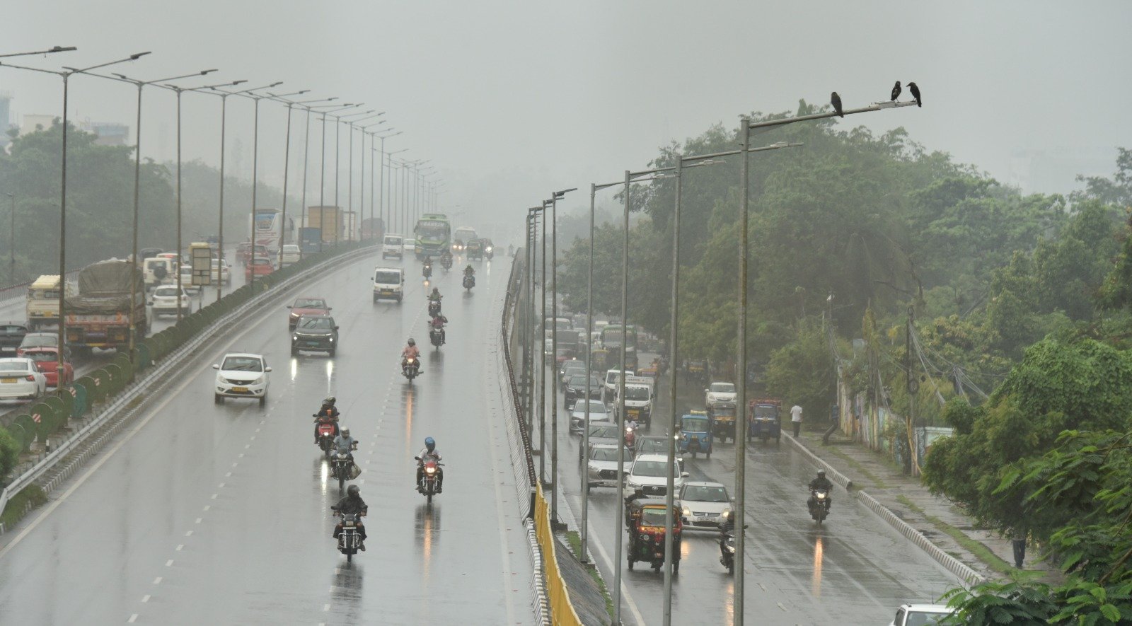
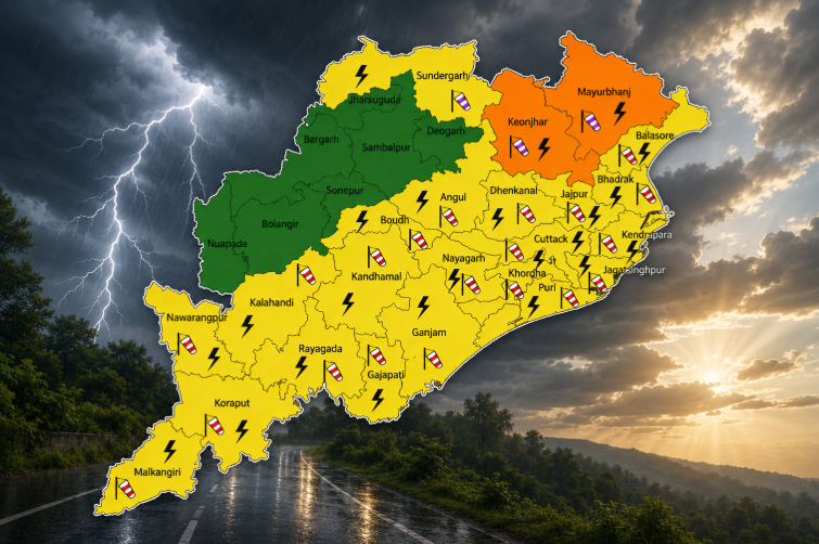
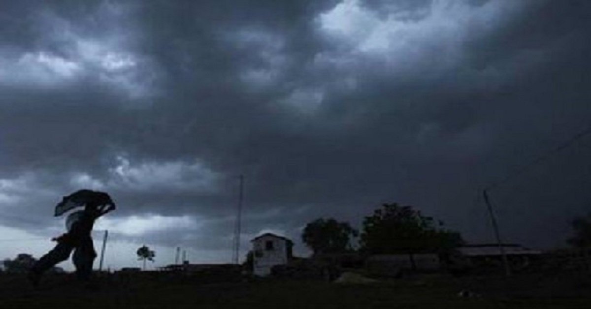
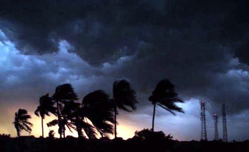
The meteorological office has forecasted that heavy to very heavy rain, including extremely heavy rainfall, is likely to persist in Odisha on July 28. Following this, the intensity of the rain is expected to diminish, with isolated to scattered showers from July 29 to 31. However, heavy rainfall may return from August 1 to 3. Additionally, thunderstorms, lightning, and strong winds with speeds of 40-50 km/h, gusting up to 60 km/h, are anticipated in Odisha on July 28 and 29.
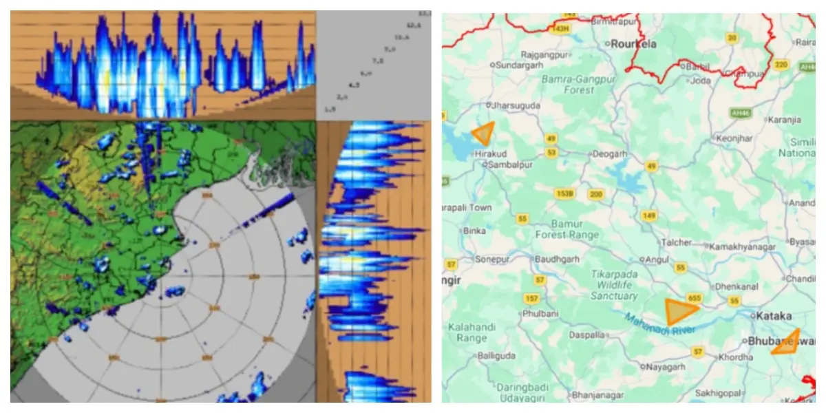
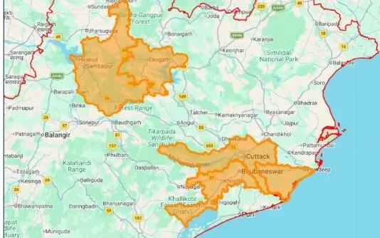
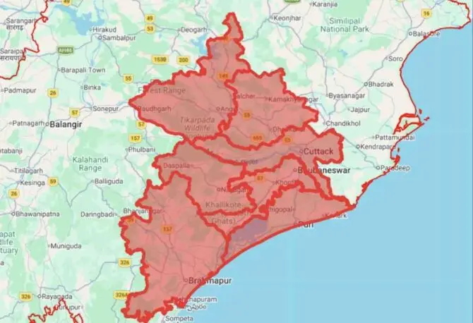
On Monday, the IMD issued warnings for heavy to very heavy rainfall in the districts of Sundargarh, Jharsuguda, Baragarh, and Sambalpur, with heavy rain also expected in several locations including Baleshwar, Bhadrak, Jajpur, Deogarh, Anugul, Dhenkanal, Kendujhar, Mayurbhanj, Sonepur, Boudh, Nuapada, and Balangir.