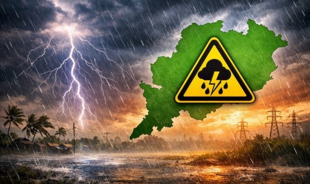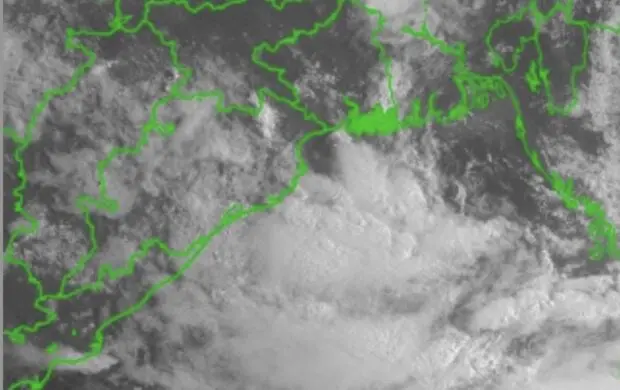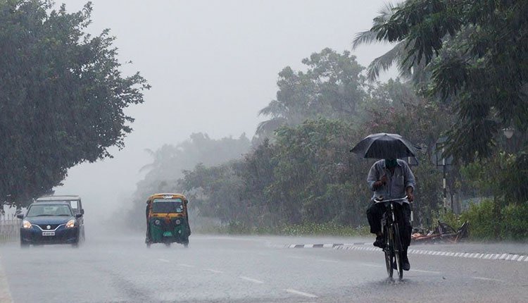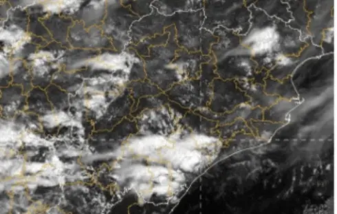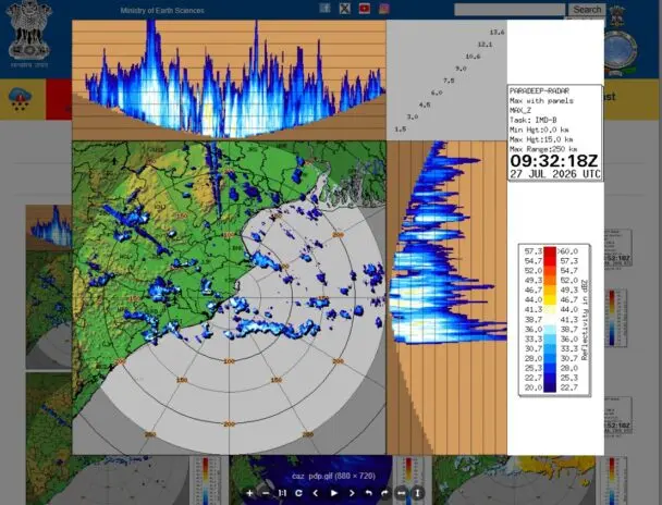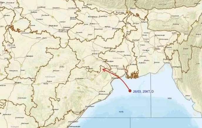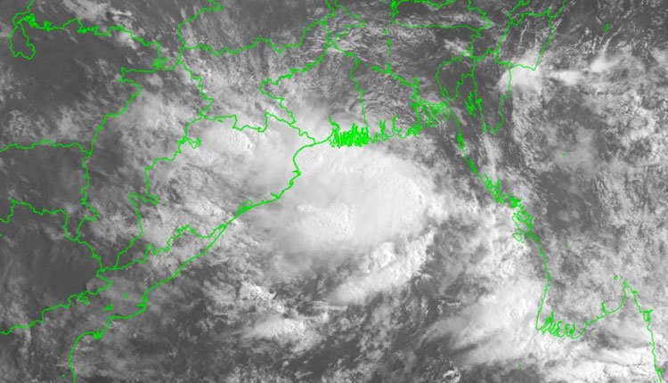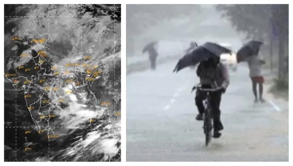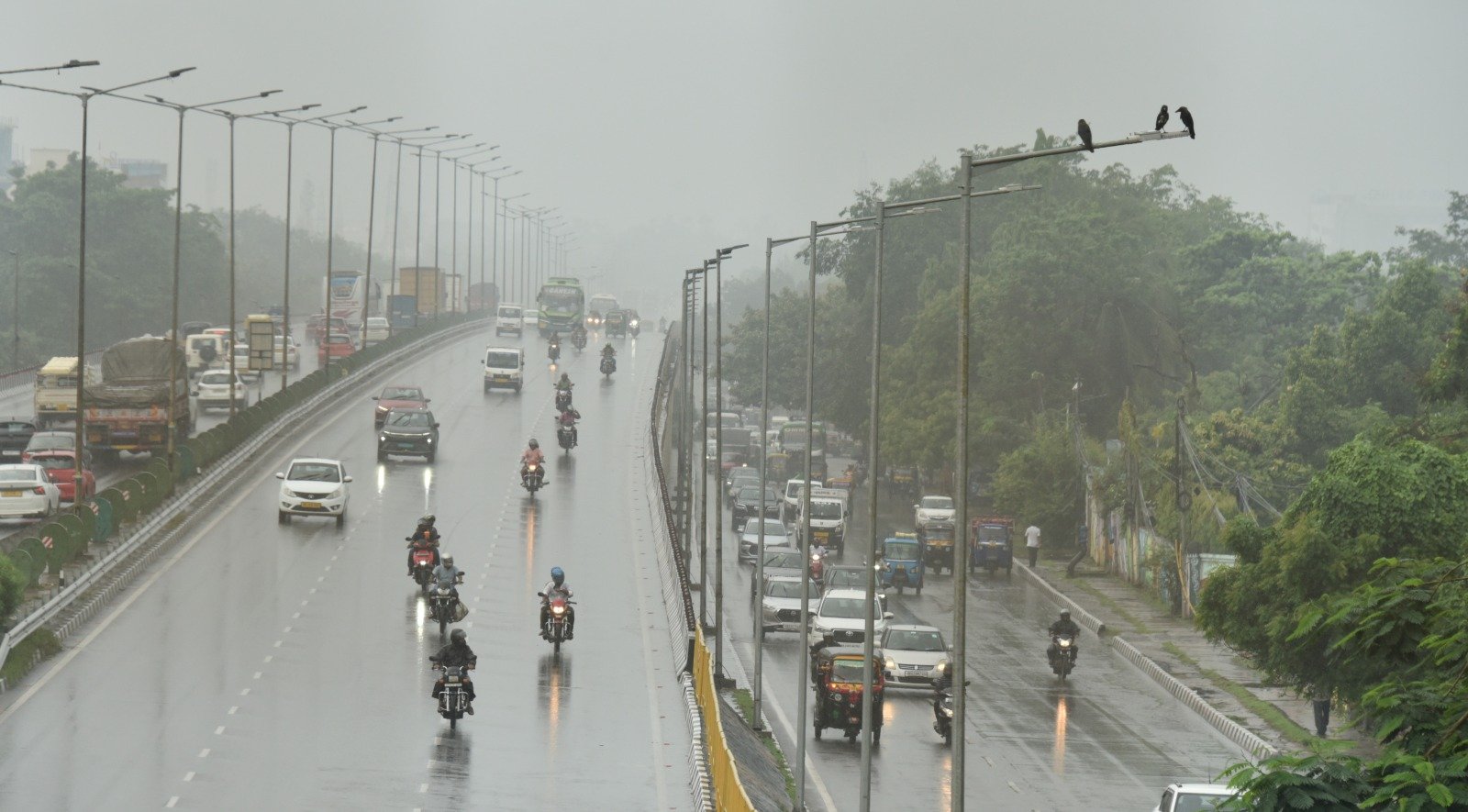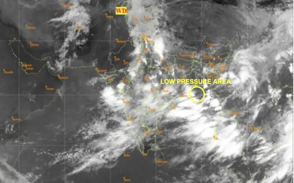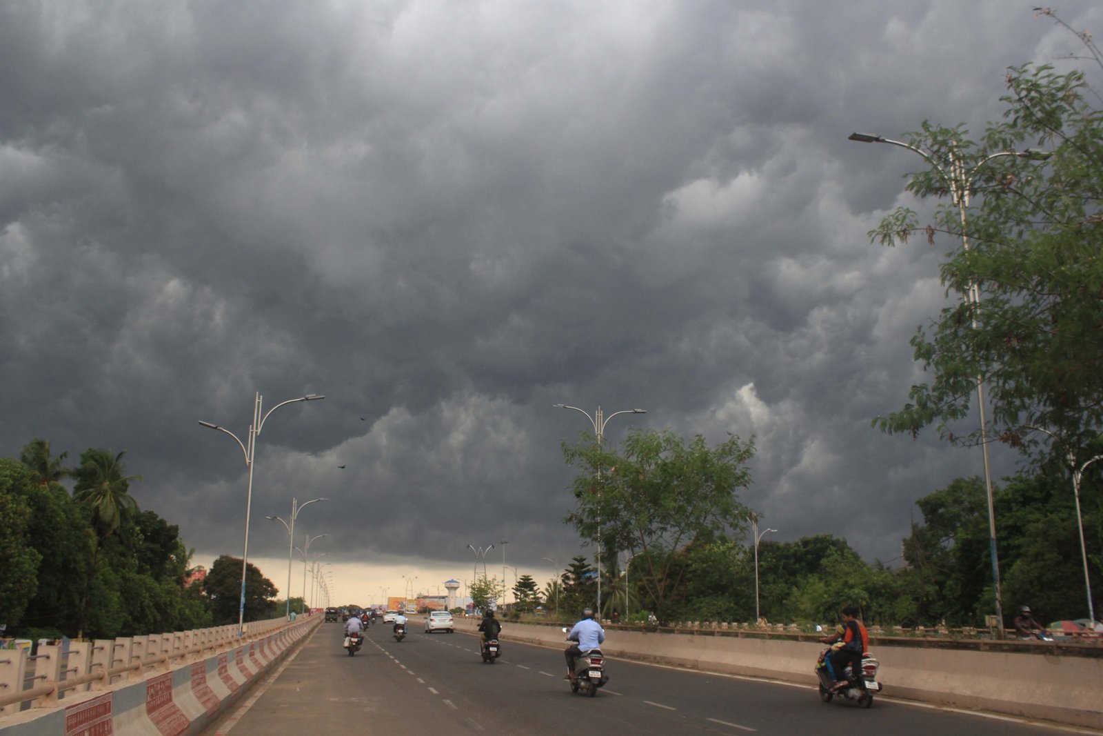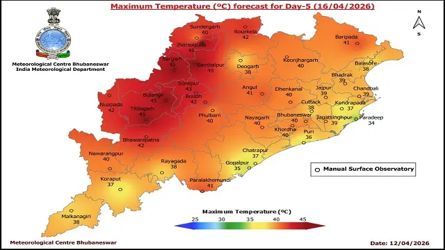

Bhubaneswar: A low pressure system has emerged over the Bay of Bengal, leading to forecasts of substantial rainfall in Odisha until September 3, according to the India Meteorological Department (IMD).
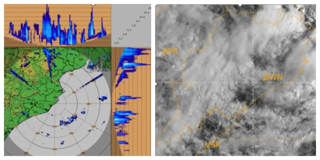
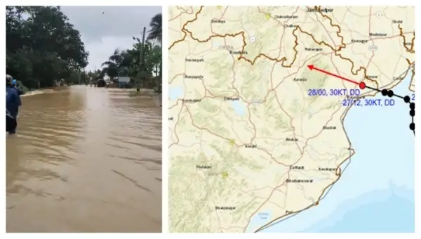
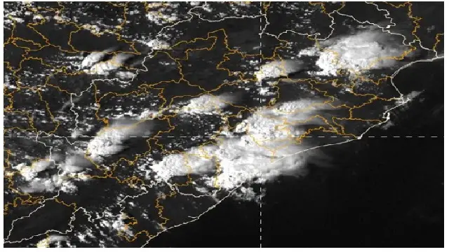
Following the active cyclonic circulation observed yesterday, the low pressure area was identified at 5:30 AM today in the northwest Bay of Bengal, affecting the adjacent West Bengal and North Odisha coasts. Consequently, heavy rain is anticipated across northern Odisha, as well as in interior and coastal regions.
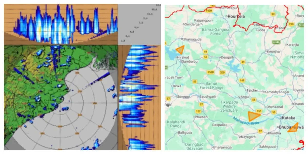
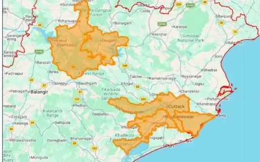
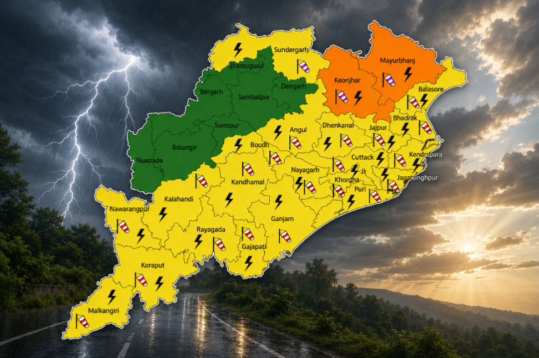
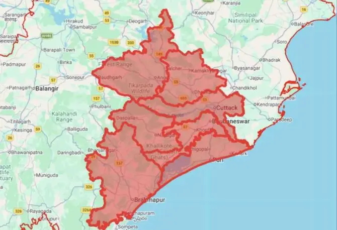
The IMD’s forecasts for today suggest that districts including Baleshwar, Bhadrak, Jagatsinghpur, Kendujhar, Kendrapada, and Mayurbhanj may experience heavy to very heavy rainfall and have been issued orange alerts.
Additionally, heavy rain is expected in Jajpur, Sundargada, Jharsuguda, Bargada, Sambalpur, Debagada, Anugola, Dhenkanal, Sonpur, Nuapada, Balangir, Kalahandi, Kandhamal, Nabarangapur, Puri, Khordha, and Nayagarh, which are under yellow alert warnings.
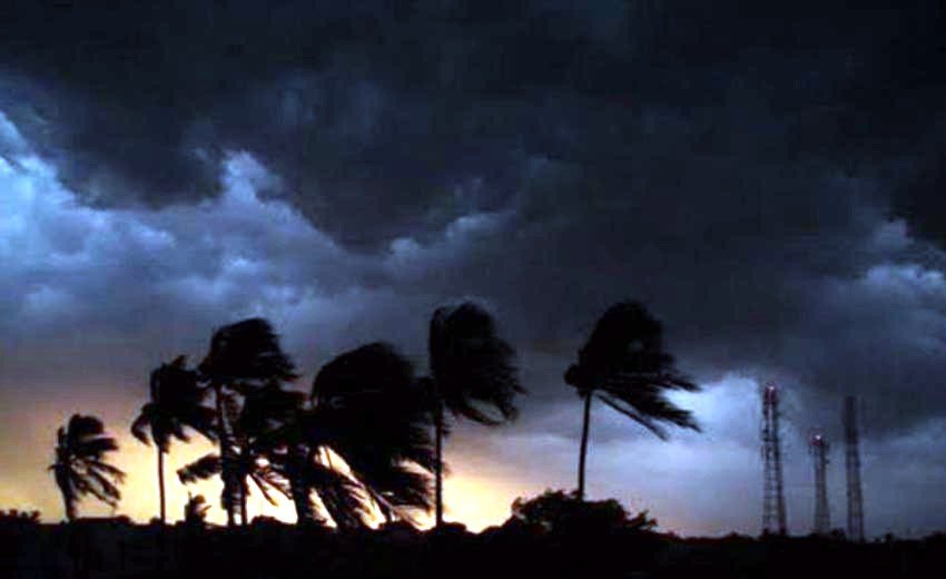
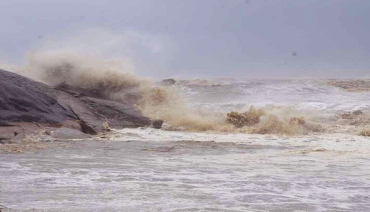
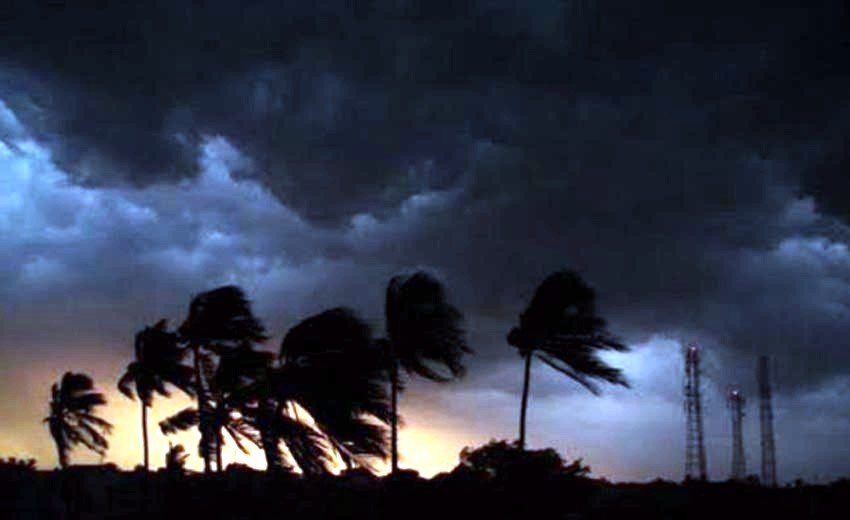
Wind speeds in these areas are projected to range from 40 to 50 km per hour, with potential gusts reaching up to 60 km per hour. This high wind activity will result in rough to very rough sea conditions over the northwest Bay of Bengal and along the Odisha coast.
Fishermen have been warned against venturing into the northwest and nearby west-central Bay of Bengal, as well as along the coasts of Odisha and West Bengal. Those at sea have been advised to return to shore immediately.
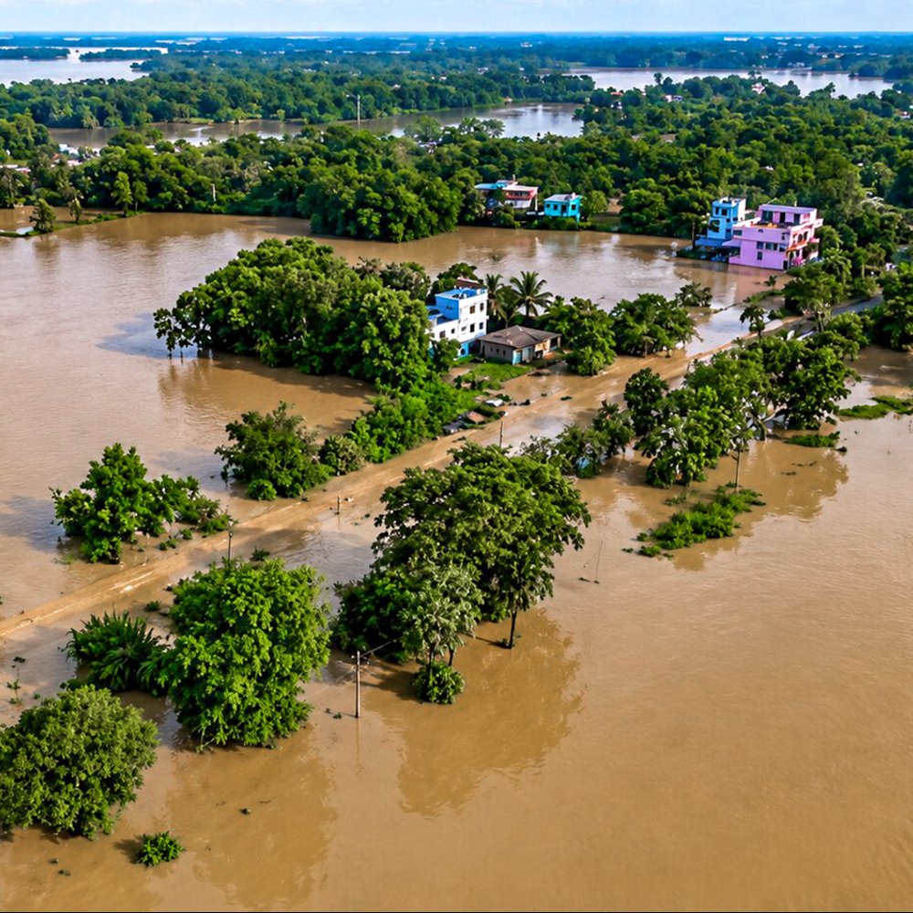
The local administration remains vigilant due to the likelihood of heavy rain affecting both coastal and interior districts as a result of the low pressure system.