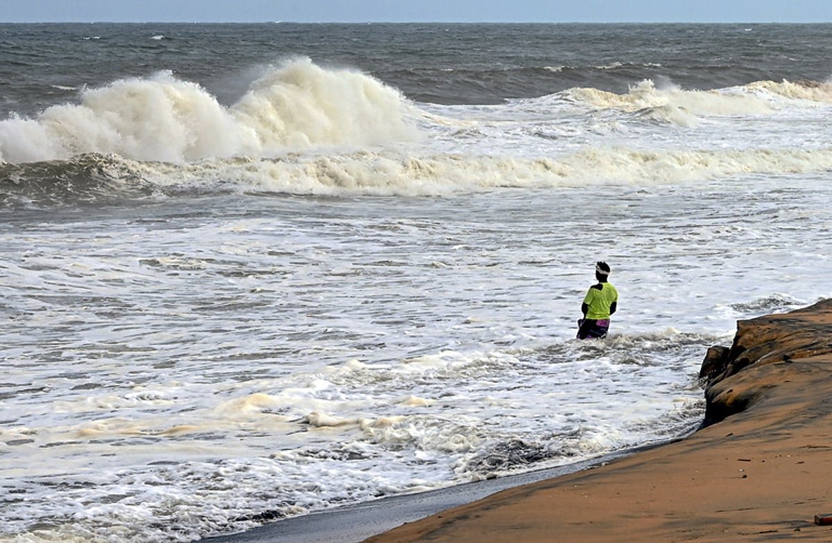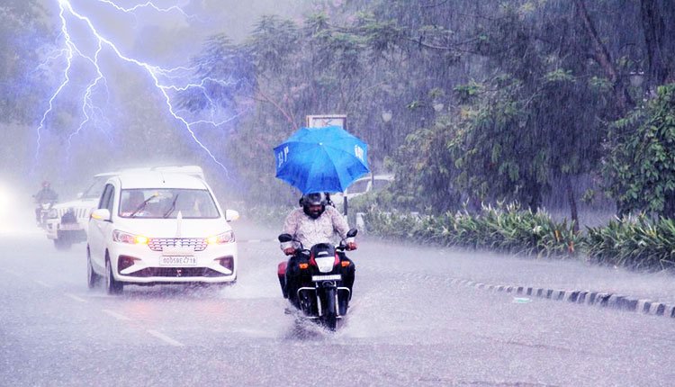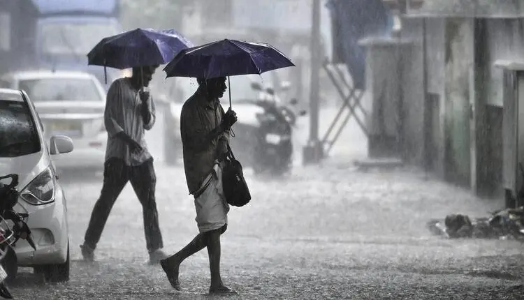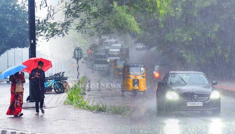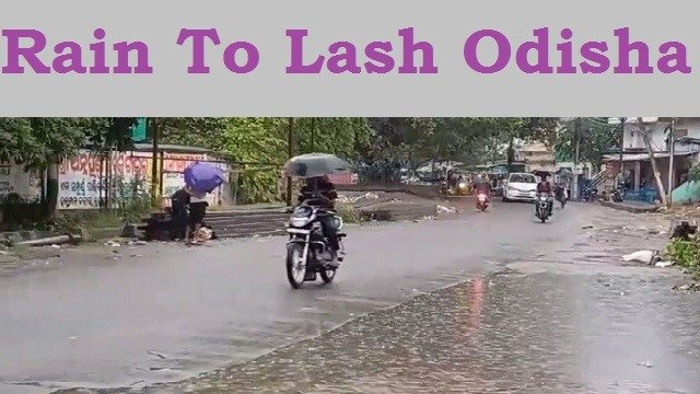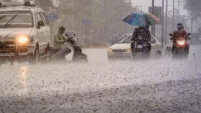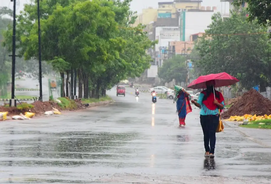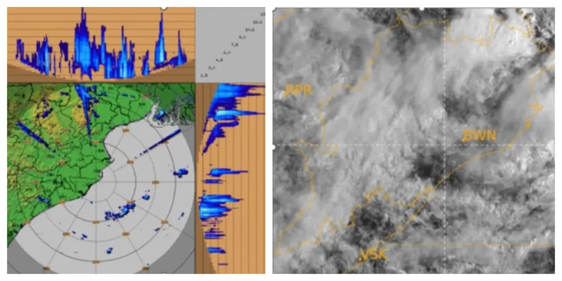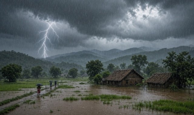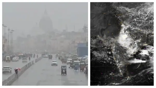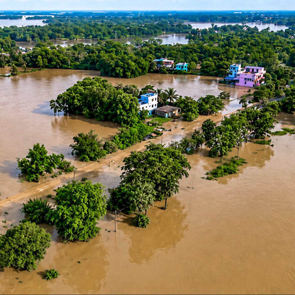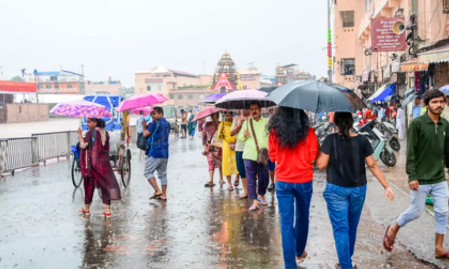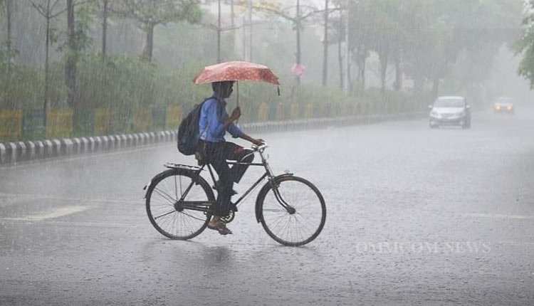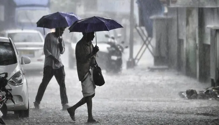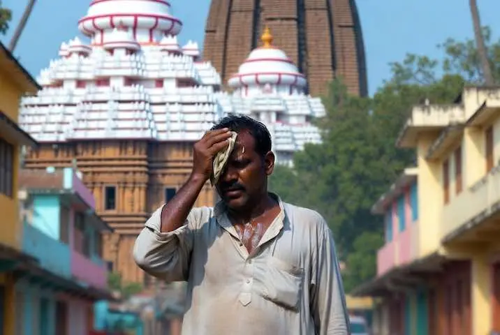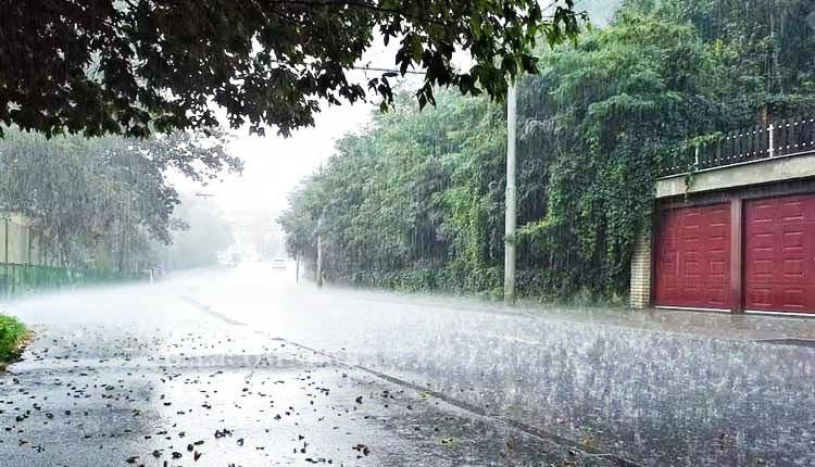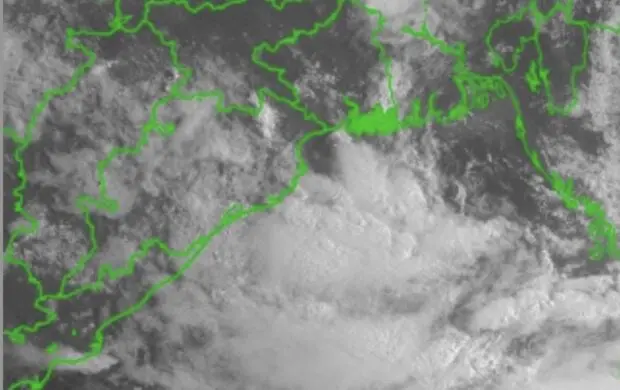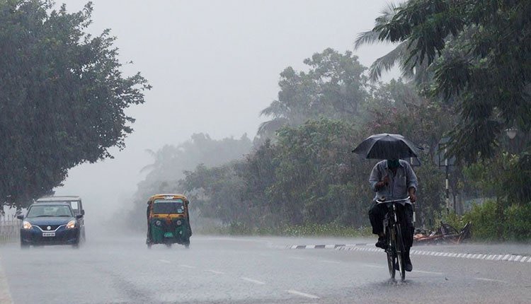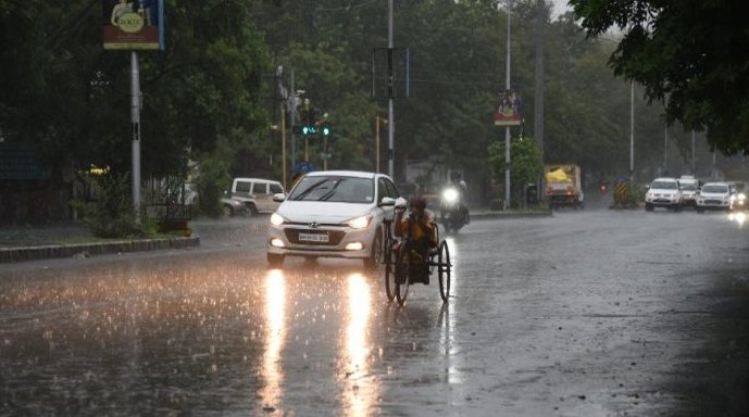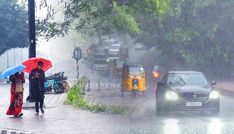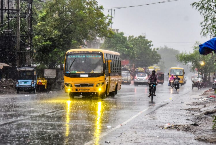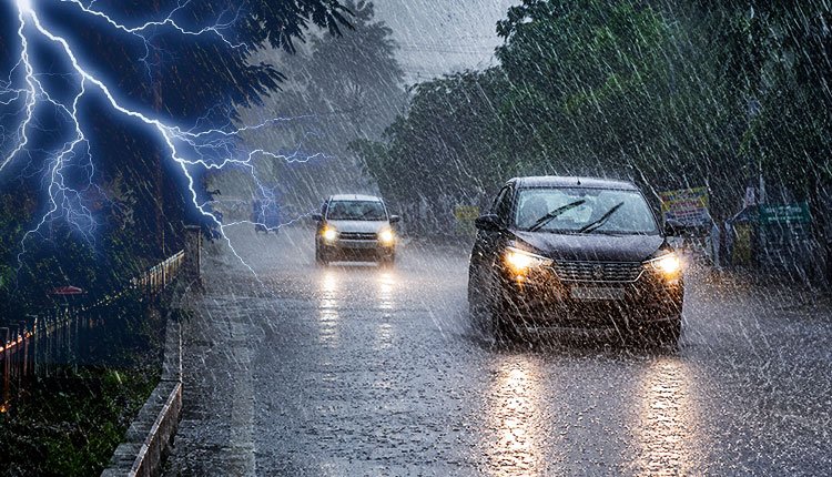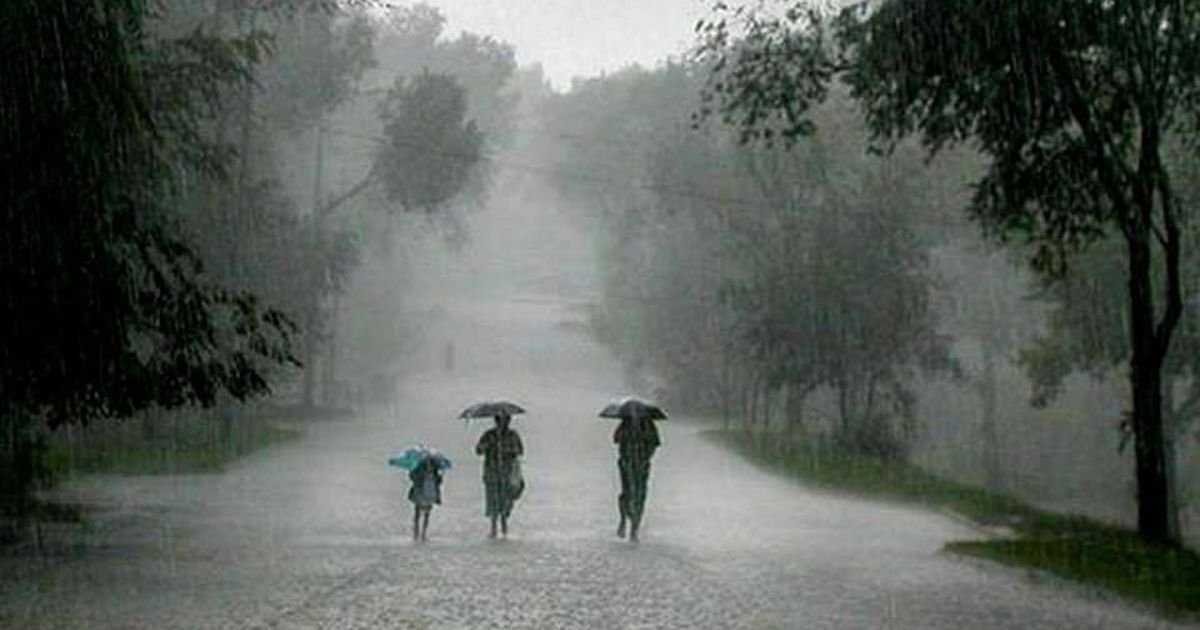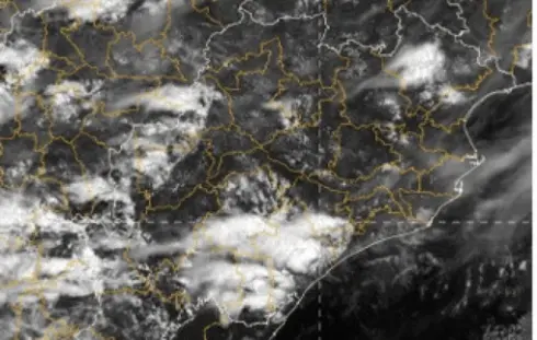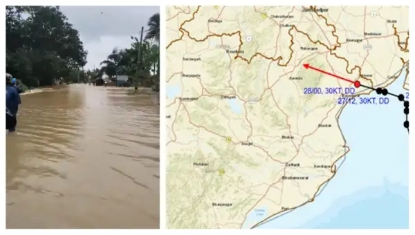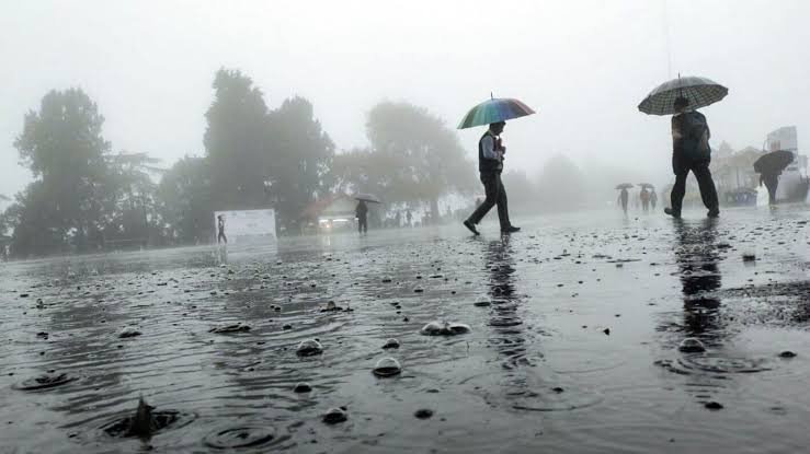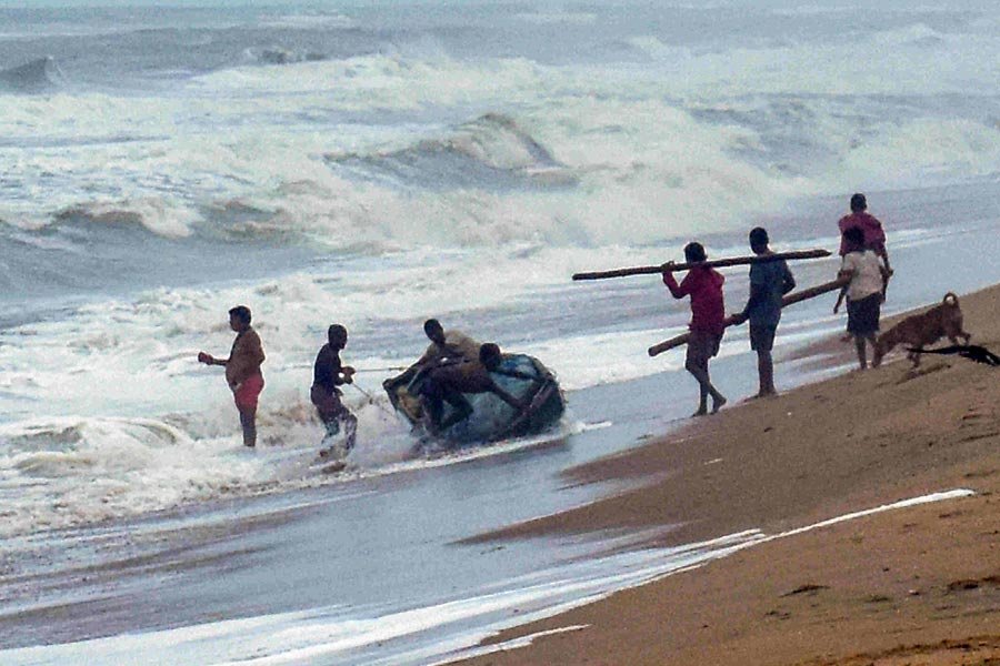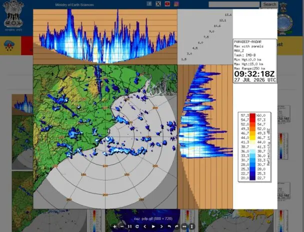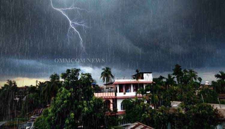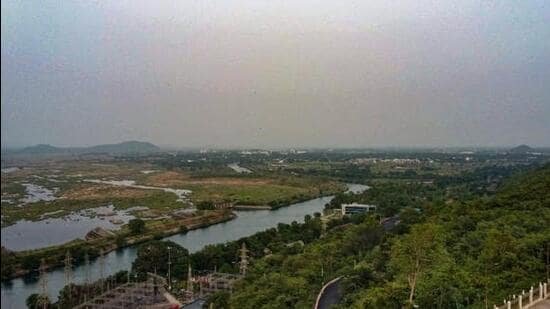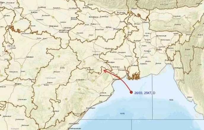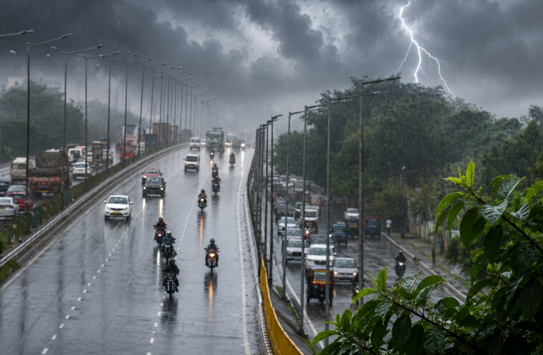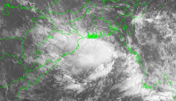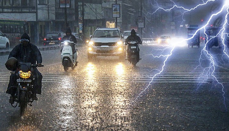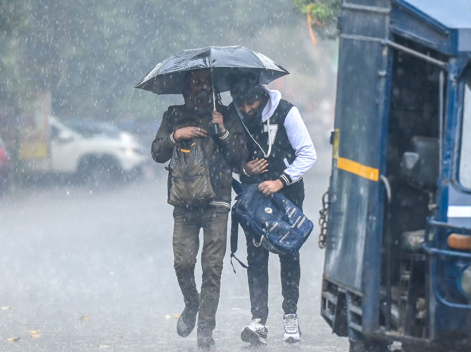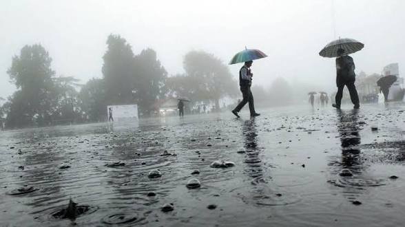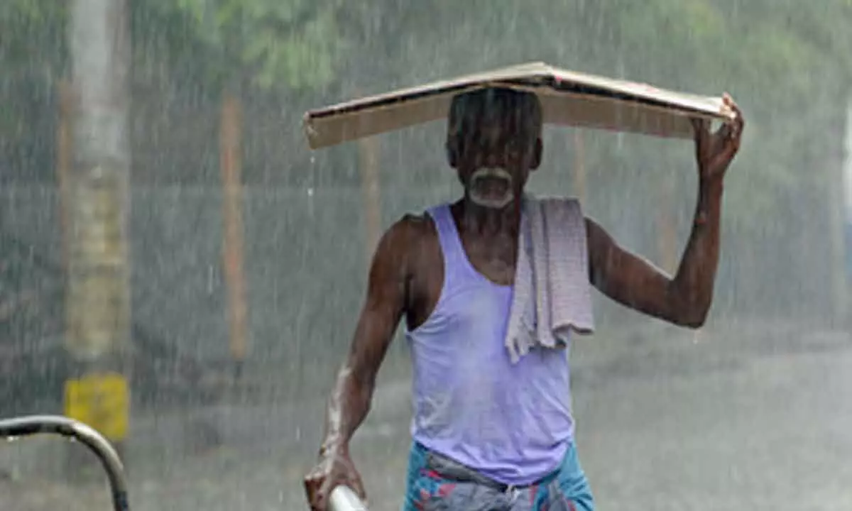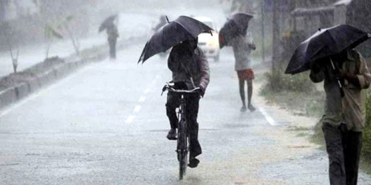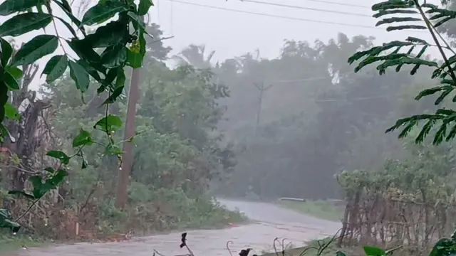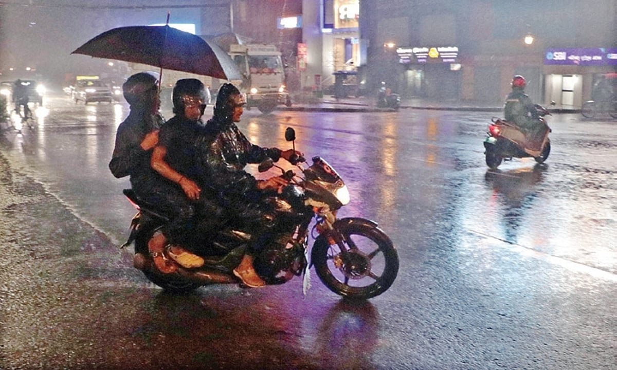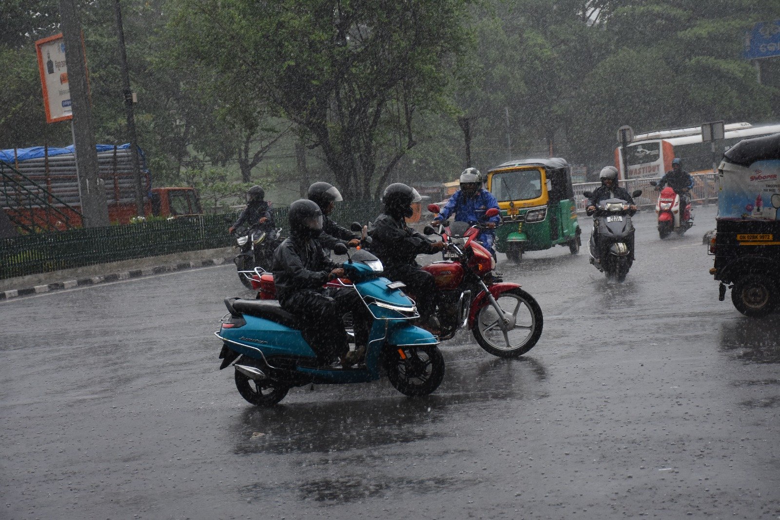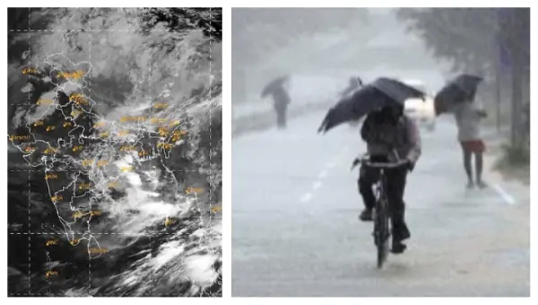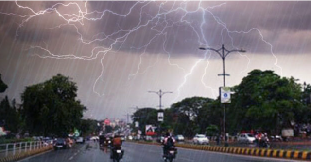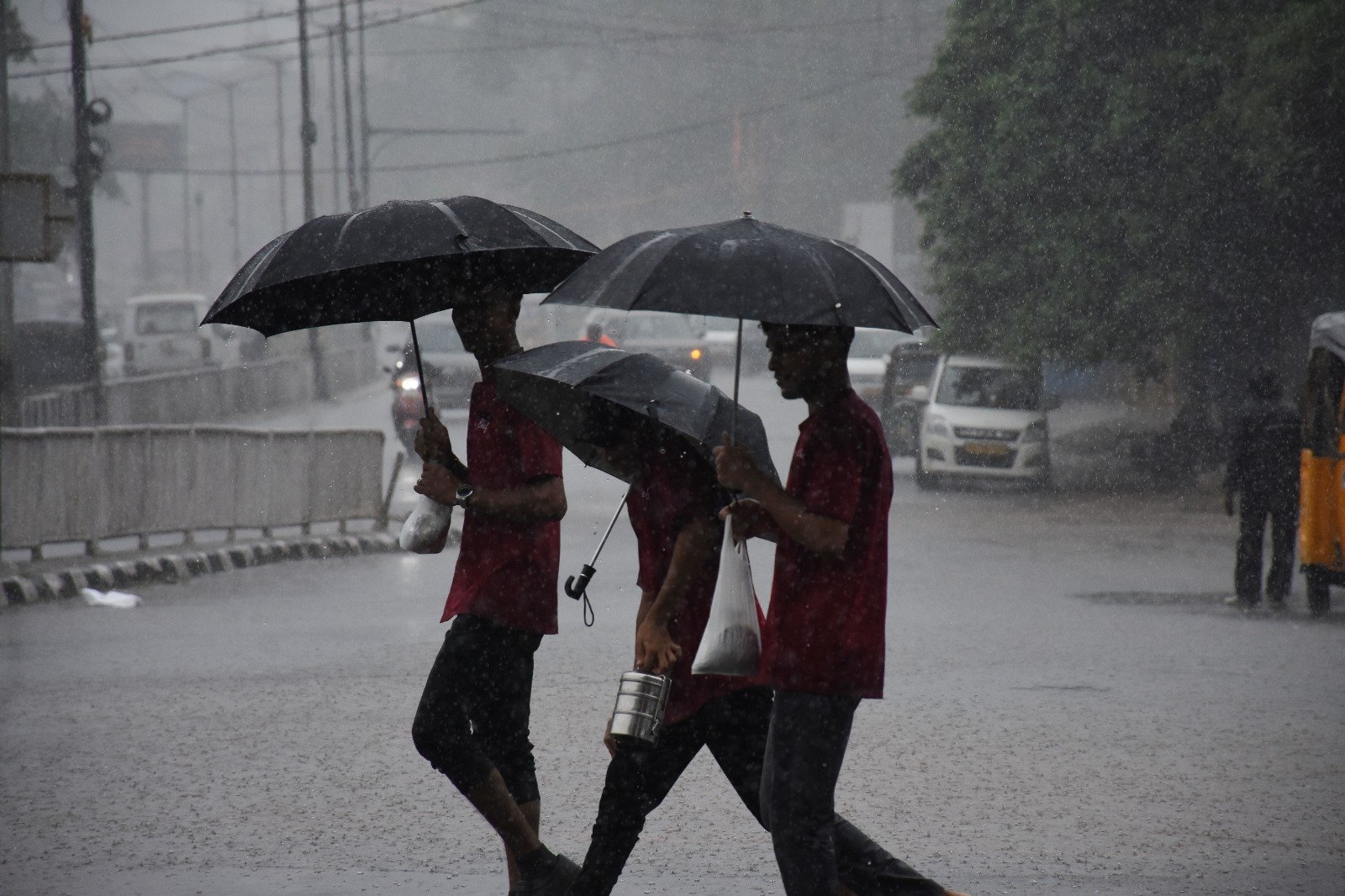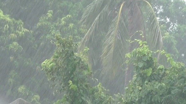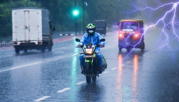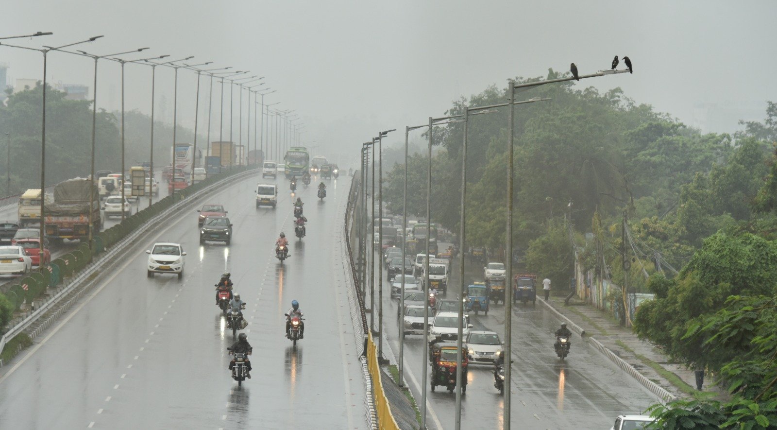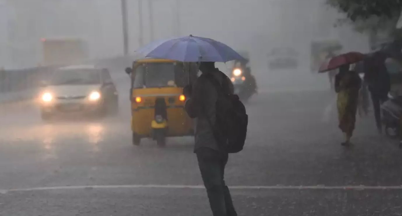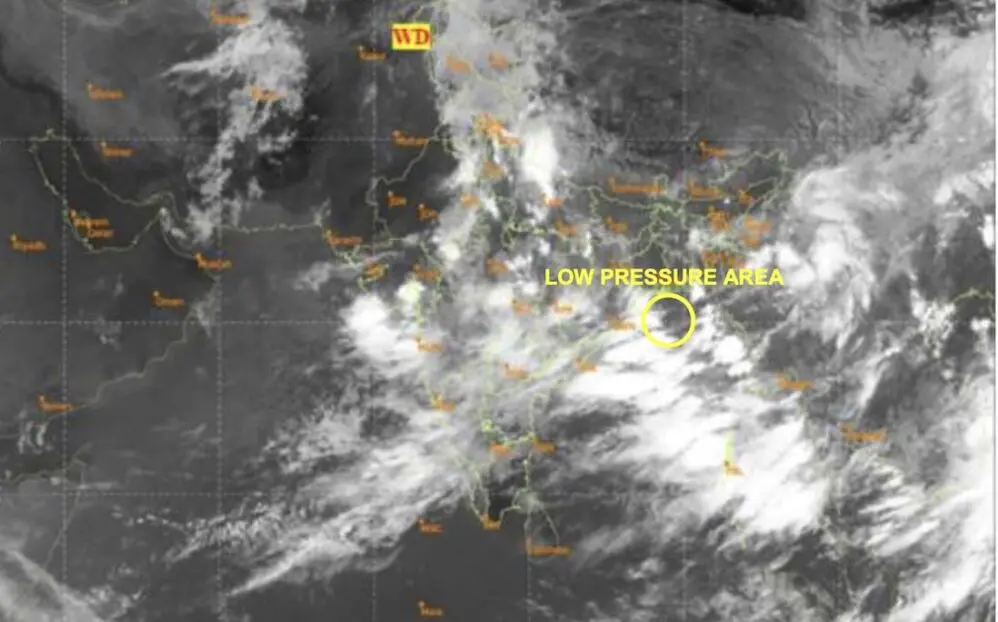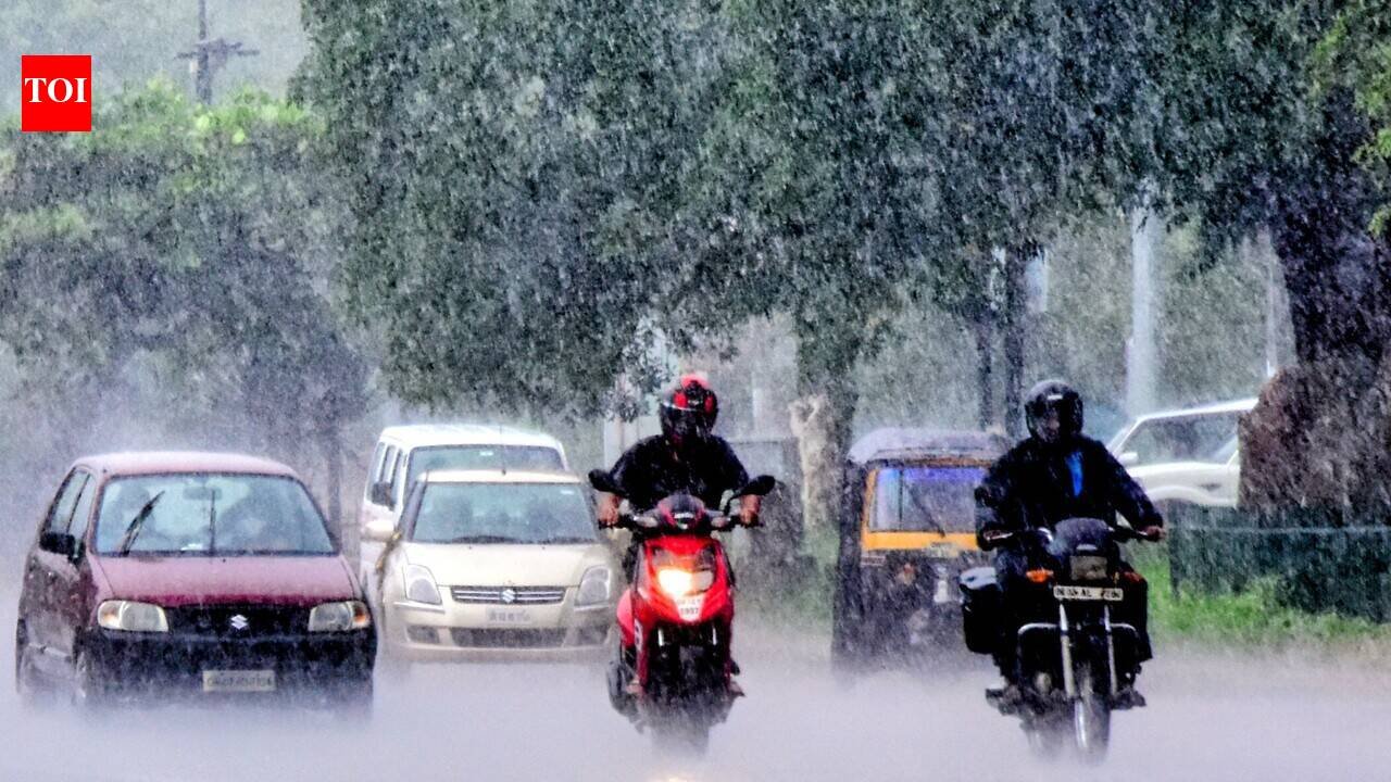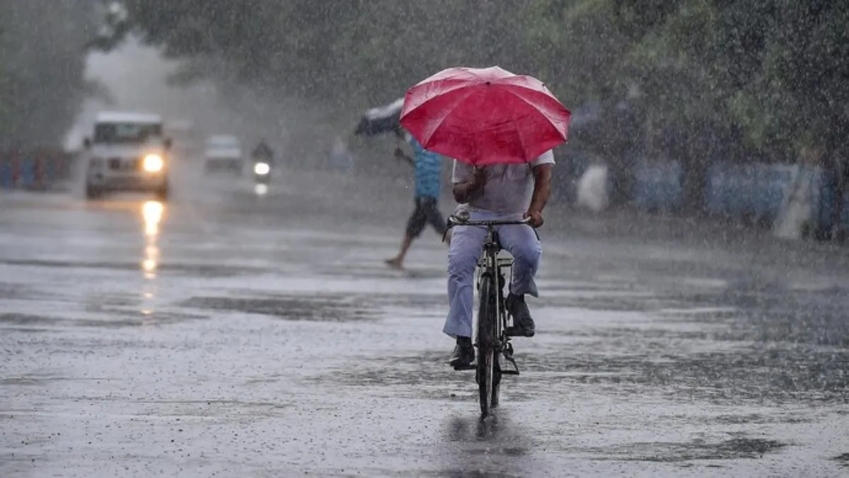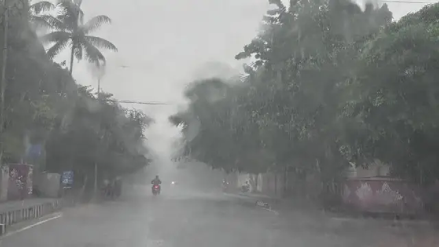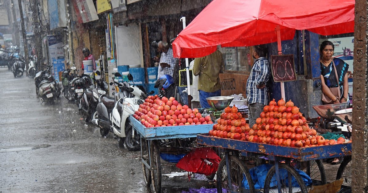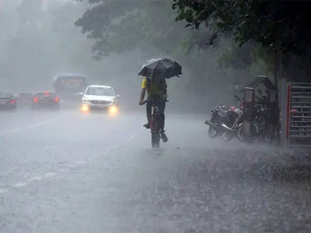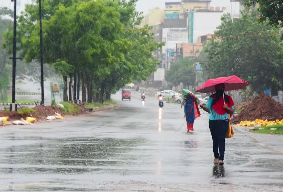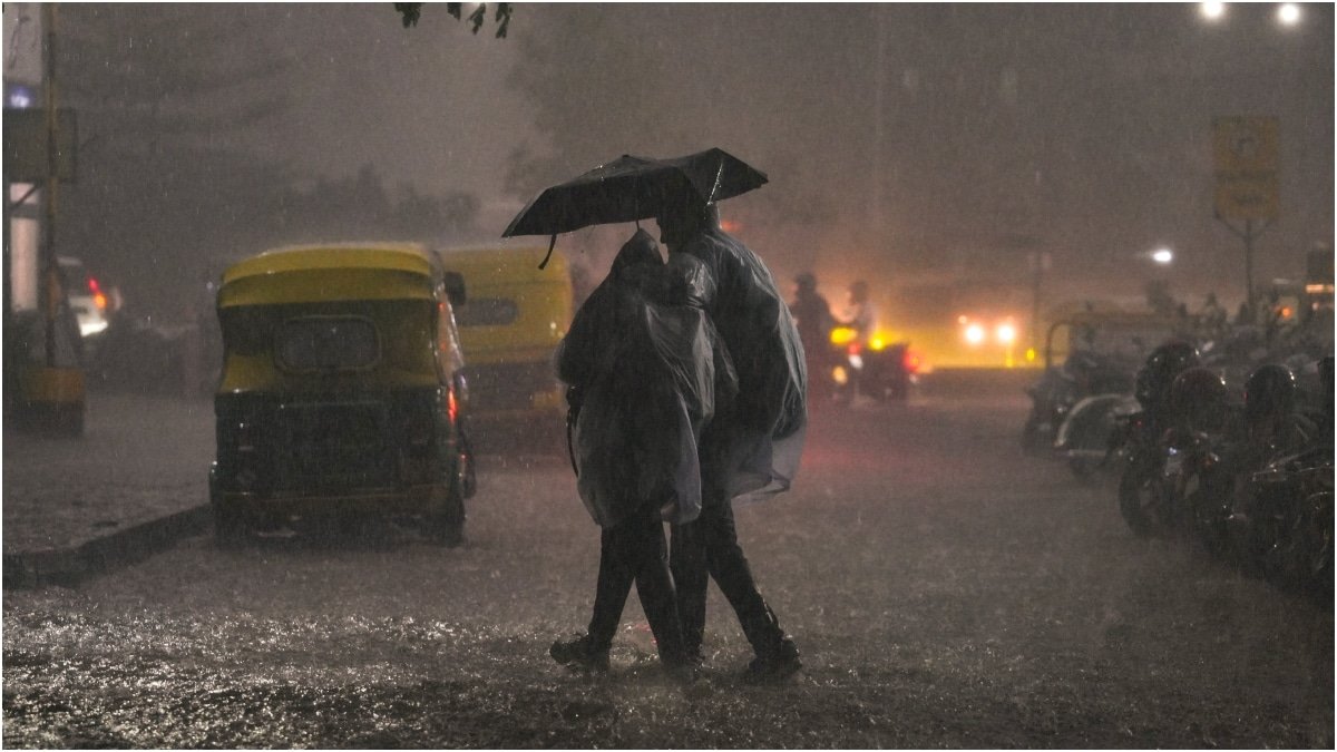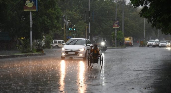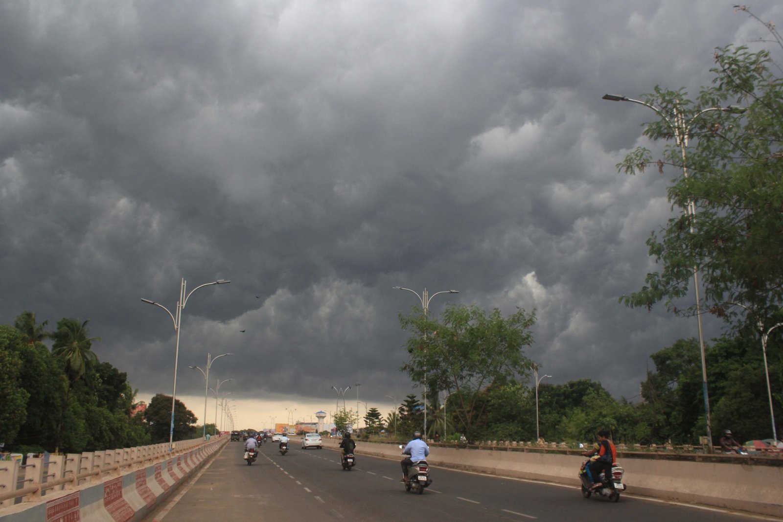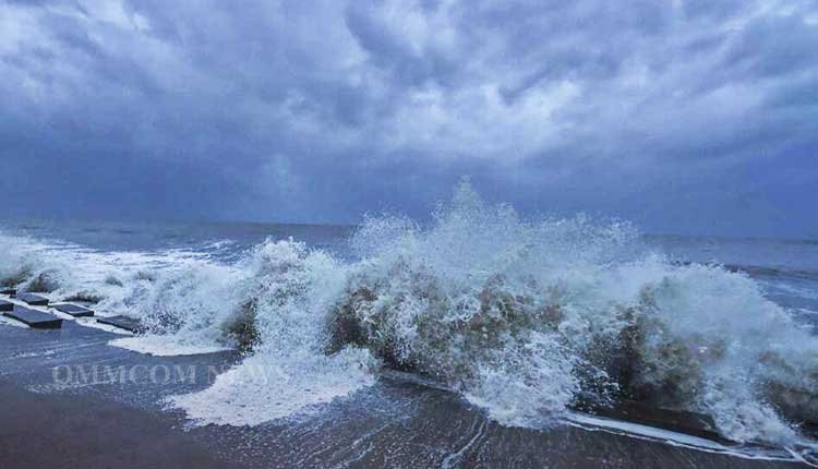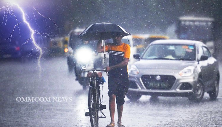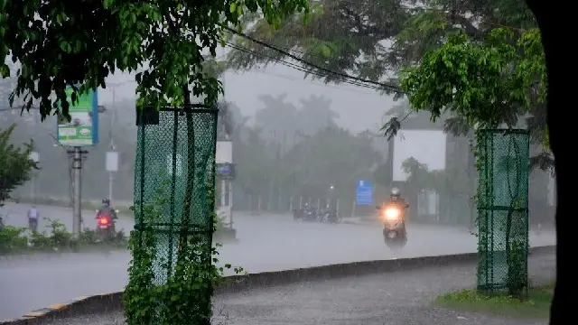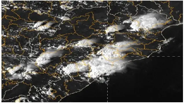
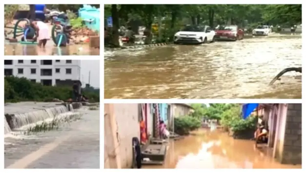
Bhubaneswar: Over the last 24 hours, Odisha’s coastal districts have faced heavy rainfall, concluding at 8 am on August 6, due to a cyclonic circulation situated over the Northwest Bay of Bengal and the adjacent northern regions of Odisha and Gangetic West Bengal.
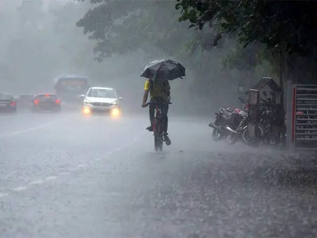
The India Meteorological Department reported that most districts experienced light to moderate rainfall, with heavier downpours localized in areas such as Khordha, Jajpur, Kendrapada, Cuttack, Bhadrak, Jagatsinghpur, and Baleshwar. Bhubaneswar recorded the highest precipitation in the state at 107.9 mm, closely followed by Jenapur in Jajpur at 106.8 mm, Pattamundai in Kendrapada at 100 mm, and Mahanga in Cuttack at 92 mm.
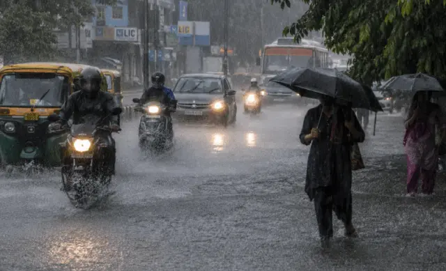
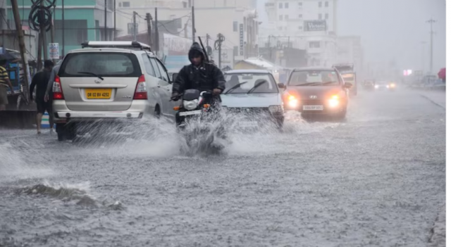
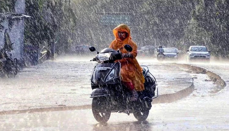
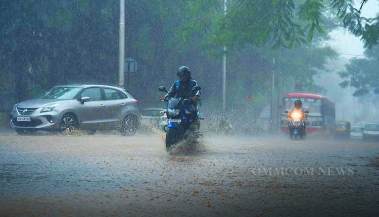
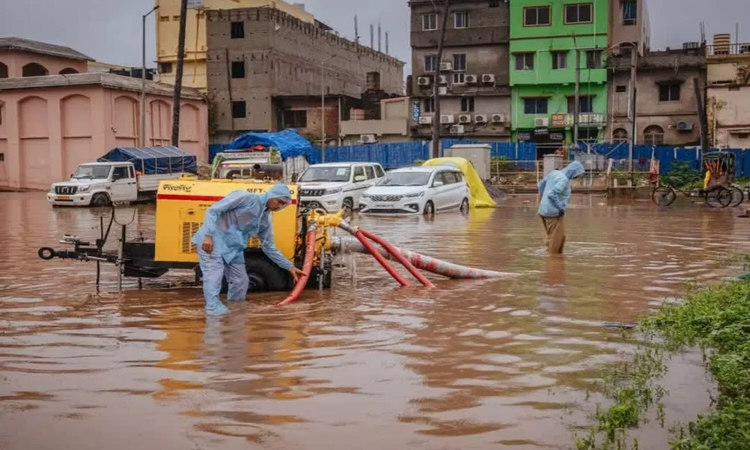
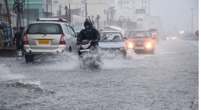
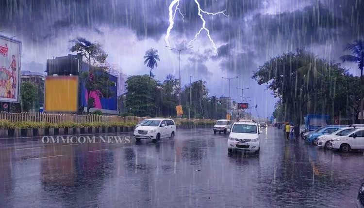
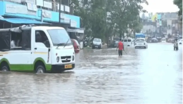
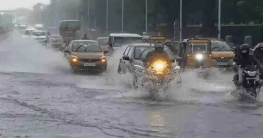
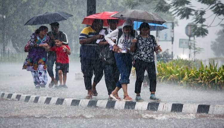
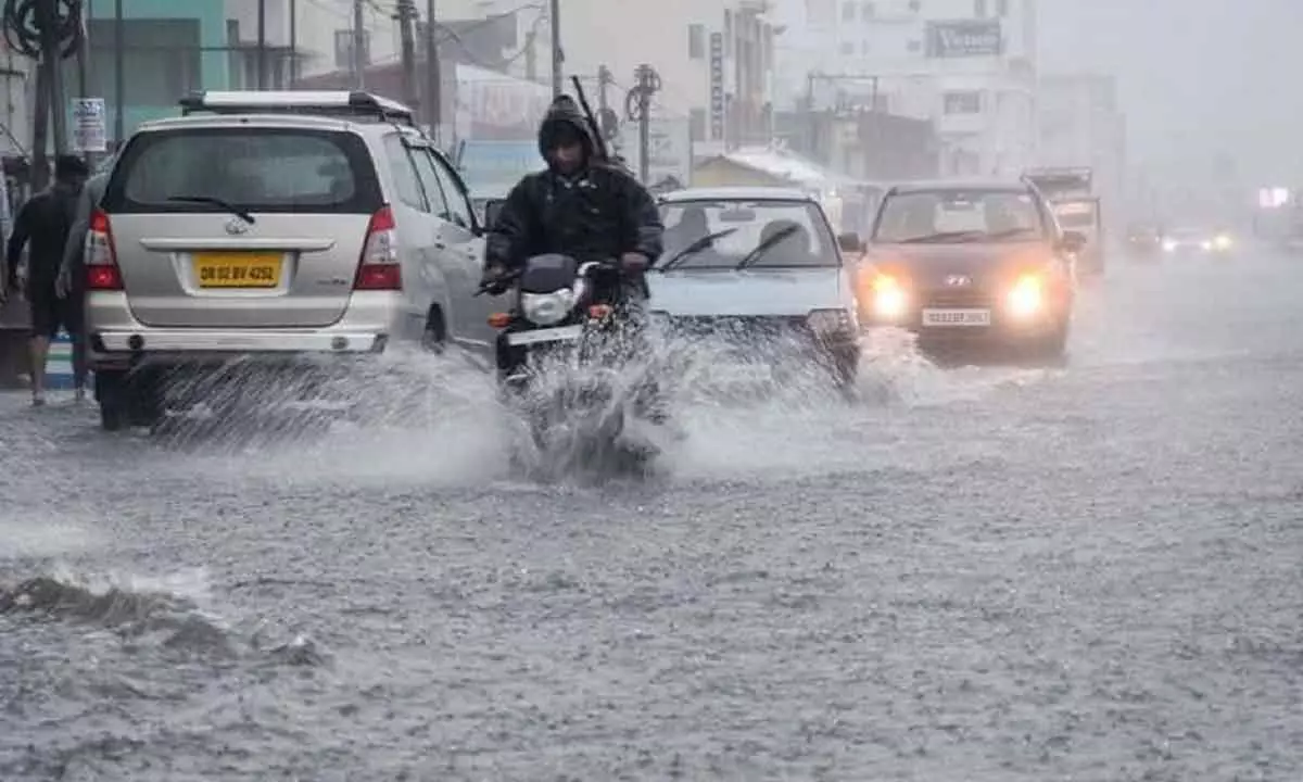
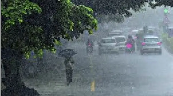
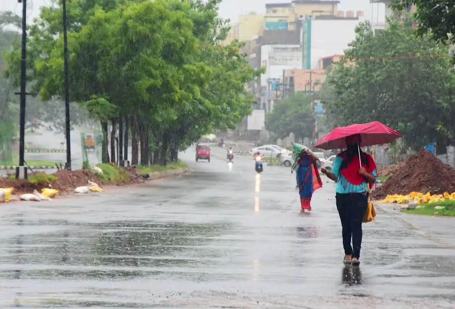
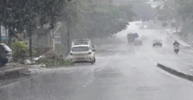
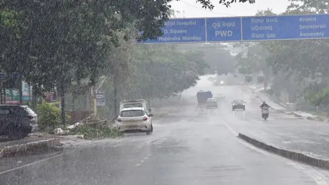
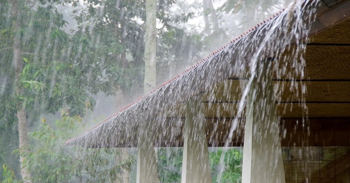
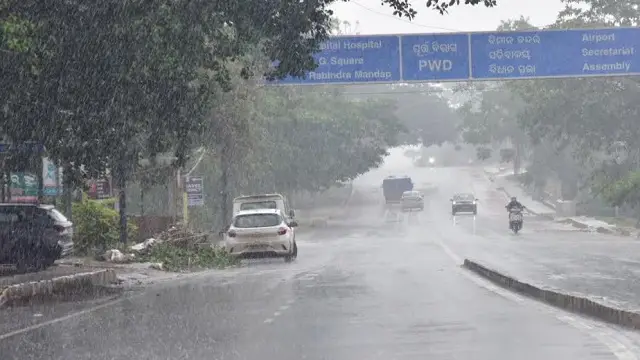
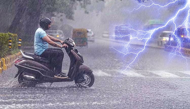
In the capital city, Madhusudan Nagar received 107 mm of rain over a 12-hour span, while Nayapalli recorded 97.2 mm, Jagamohan Nagar 90.4 mm, and Laxmisagar 90 mm. This deluge resulted in knee-deep waterlogging in low-lying areas such as Shantipalli Basti in Saheed Nagar, GGP Colony, and parts of Tarini and Jagannath bastis, where rainwater made its way into homes overnight.
The heavy rainfall has been attributed to a monsoon trough that stretches from Firozpur, Rohtak, Shahjahanpur, Kanpur, Daltonganj, and Digha, extending east-southeast toward the Northeast Bay of Bengal.
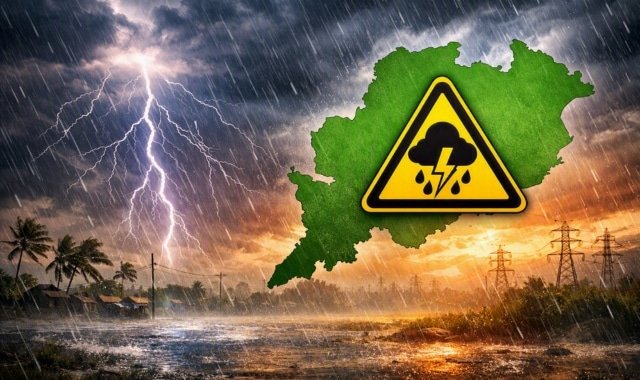
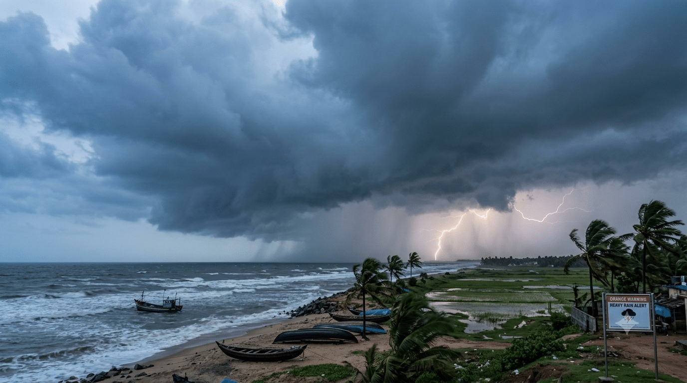
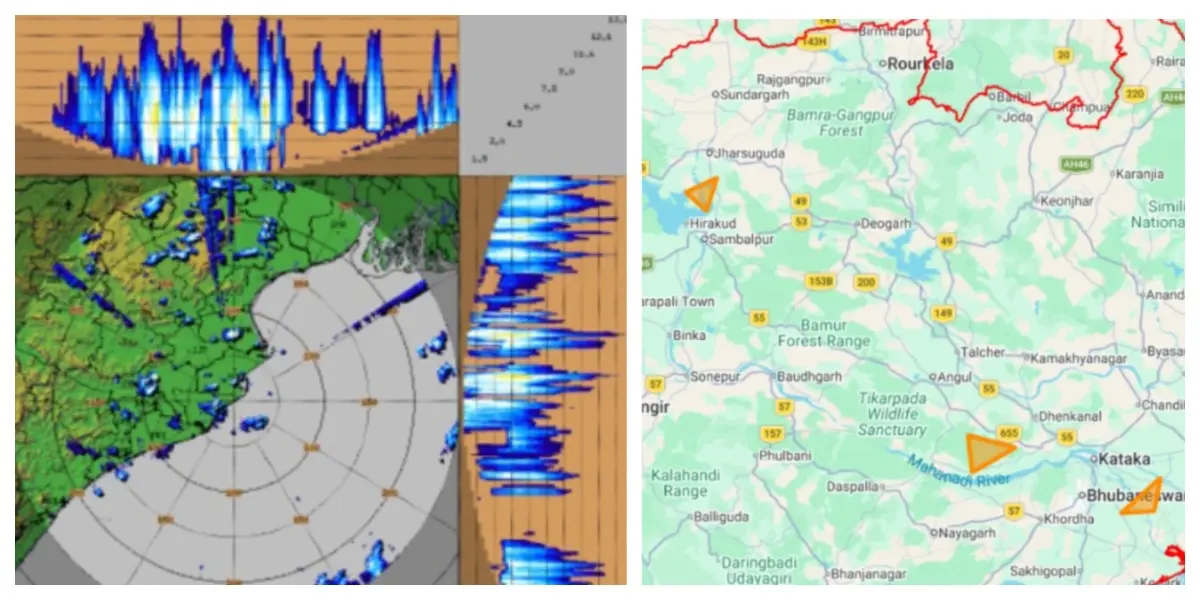
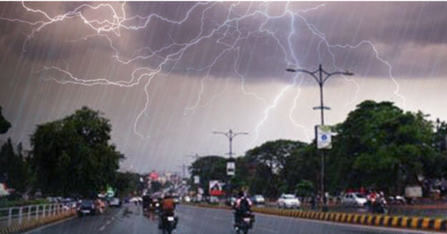
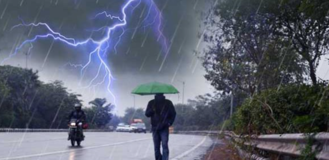
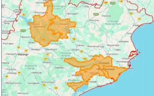
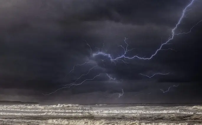
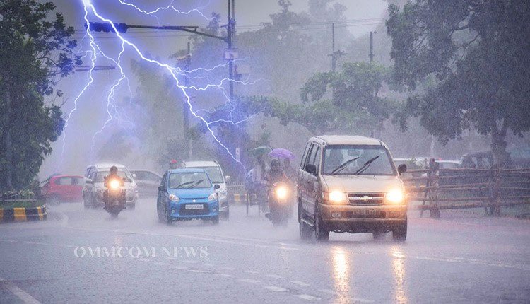
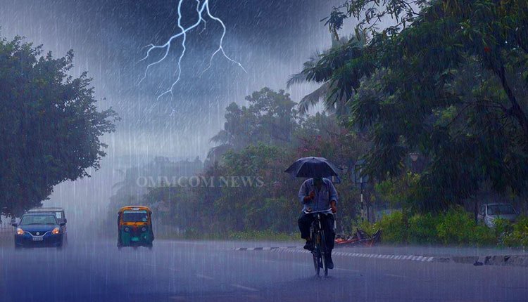
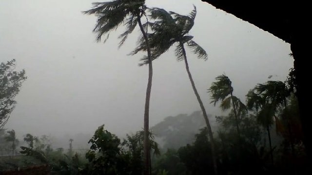
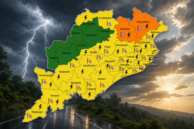
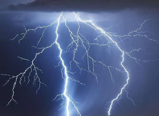
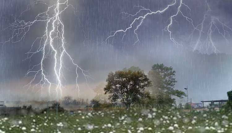
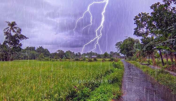
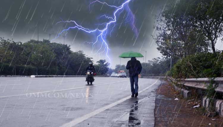
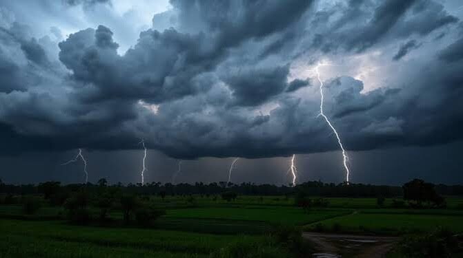
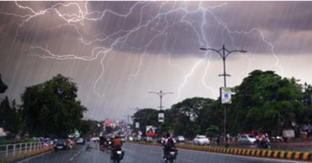
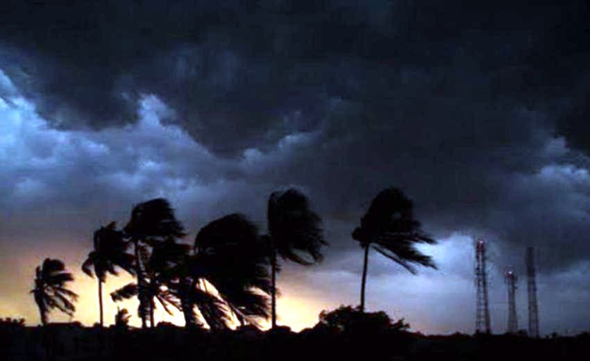
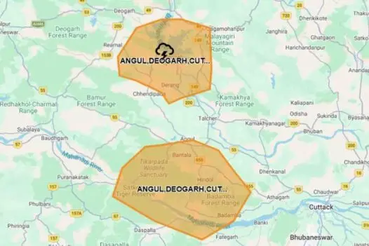
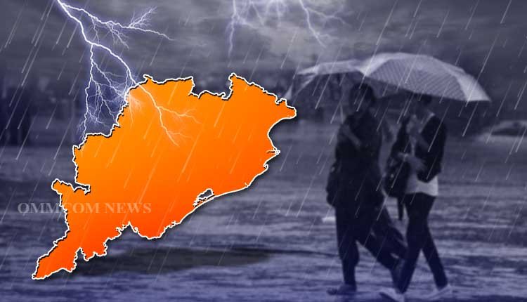
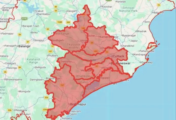
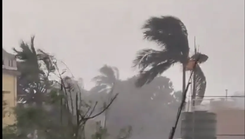
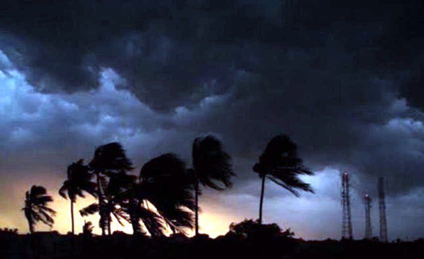
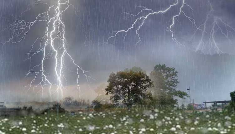
Looking ahead, the Meteorological Centre in Bhubaneswar predicts light to moderate rain or thundershowers across the majority of districts. An Orange Warning has been issued for Mayurbhanj district, anticipating isolated heavy to very heavy rainfall. Additionally, a Yellow Warning for heavy rain is in effect for Baleshwar, Bhadrak, Jajpur, Kendrapada, Jagatsinghpur, Cuttack, Sundargarh, Jharsuguda, Baragarh, Sambalpur, Debagarh, Anugola, Dhenkanal, Kendujhar, Sonepur, Boudh, Kandhamal, Rayagada, Gajapati, and Ganjam. Thunderstorms with lightning and gusty winds reaching 30-40 kmph are also expected in isolated areas across nearly all districts.
On August 7, the forecast indicates continued widespread light to moderate rainfall across all regions, with Mayurbhanj remaining under an Orange Warning for isolated heavy to very heavy rain. A Yellow Warning for heavy rain persists for Baleshwar, Bhadrak, Jajpur, Sundargarh, Jharsuguda, Kendujhar, Gajapati, and Ganjam, along with predictions of thunderstorms and gusty winds up to 40 kmph throughout the state.
Rainfall is expected to slightly decrease on August 8; however, a Yellow Warning for heavy rain will still be in effect for isolated areas in Kendujhar and Mayurbhanj. Thunderstorm activity accompanied by lightning and gusty winds (30-40 kmph) is also forecasted for all districts.
On August 9, isolated heavy rainfall may persist in Kendujhar and Mayurbhanj, with a Yellow Warning issued for thunderstorms, lightning, and gusty winds (30-40 kmph) across Baleshwar, Bhadrak, Jajpur, Kendrapada, Jagatsinghpur, Cuttack, Sundargarh, Kendujhar, Mayurbhanj, Gajapati, Ganjam, Puri, Khordha, and Nayagarh.
August 10 will see rain or thundershowers expected in many districts, with isolated heavy rainfall possible in Sundargarh, Jharsuguda, Sambalpur, Kendujhar, and Mayurbhanj.
On August 11, light to moderate rains will continue across various locations, with a Yellow Warning for heavy rainfall in Baleshwar, Bhadrak, Kendrapada, Jagatsinghpur, Kendujhar, and Mayurbhanj. Thunderstorms accompanied by lightning and gusty winds (30-40 kmph) may also occur in Baleshwar, Bhadrak, Jajpur, Kendrapada, Cuttack, Jagatsinghpur, Sundargarh, Jharsuguda, Sambalpur, Kendujhar, Mayurbhanj, Gajapati, Ganjam, Puri, Khordha, and Nayagarh.
On August 12, isolated heavy rainfall may persist in Sundargarh, Kendujhar, and Mayurbhanj districts.
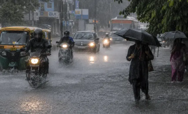
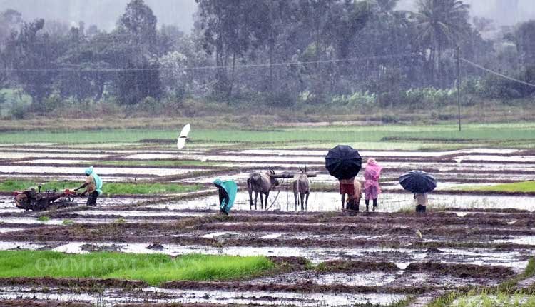
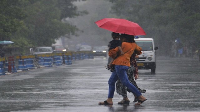
The weather department has urged residents to be cautious of localized road flooding, urban waterlogging, decreased visibility, minor structural damage, and potential agricultural flooding in affected areas. Commuters are advised to stay updated on traffic conditions and avoid waterlogged routes.