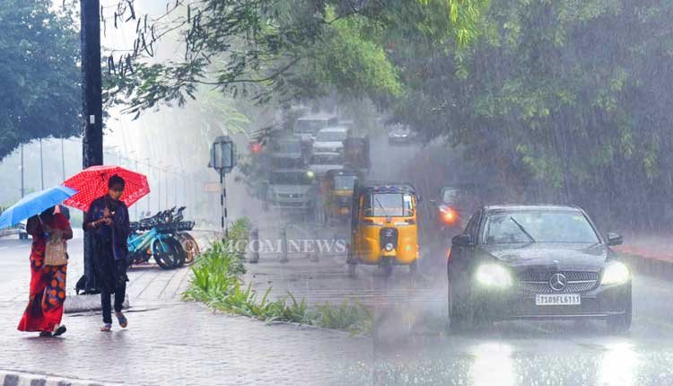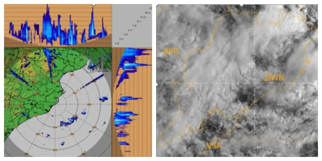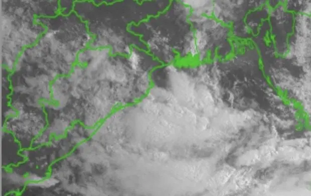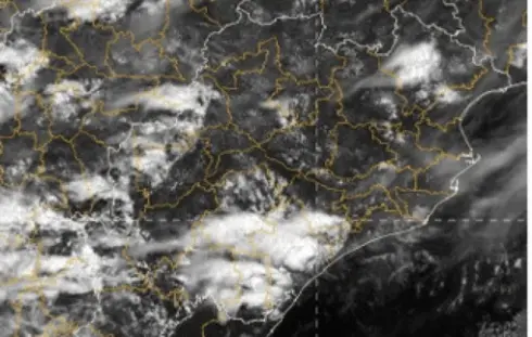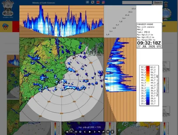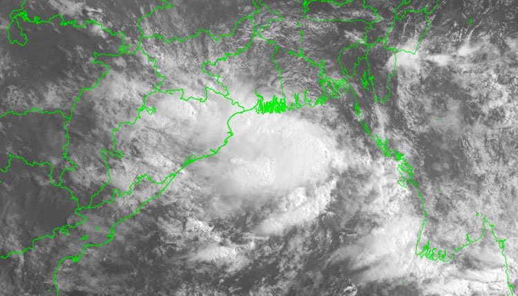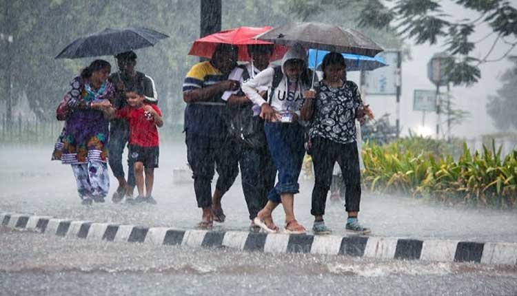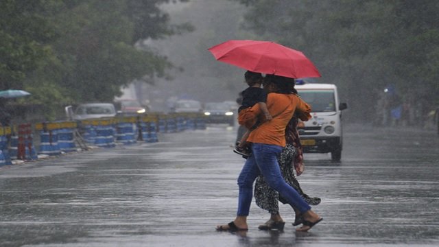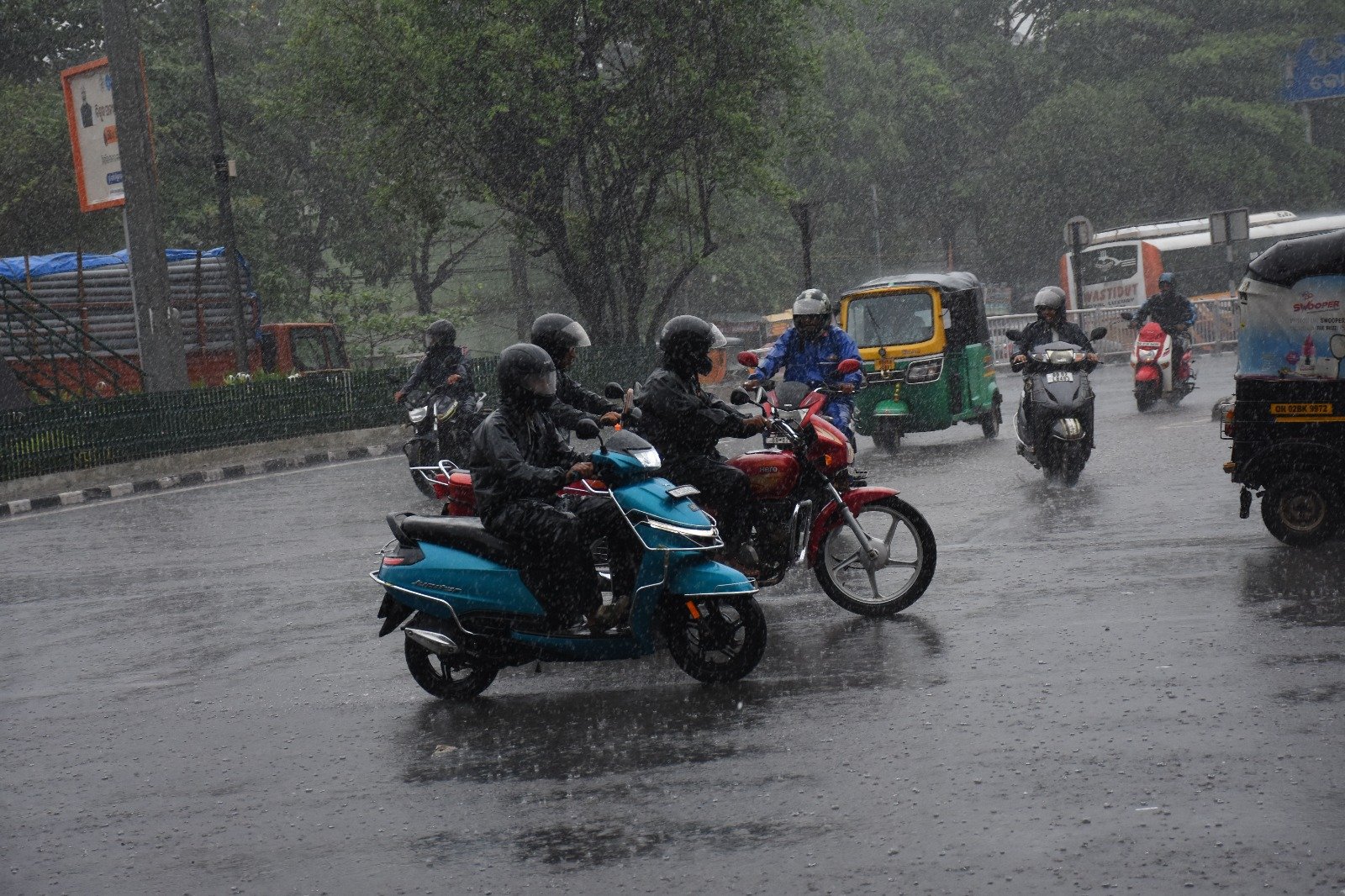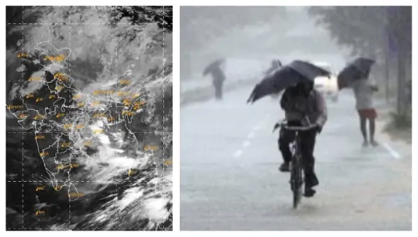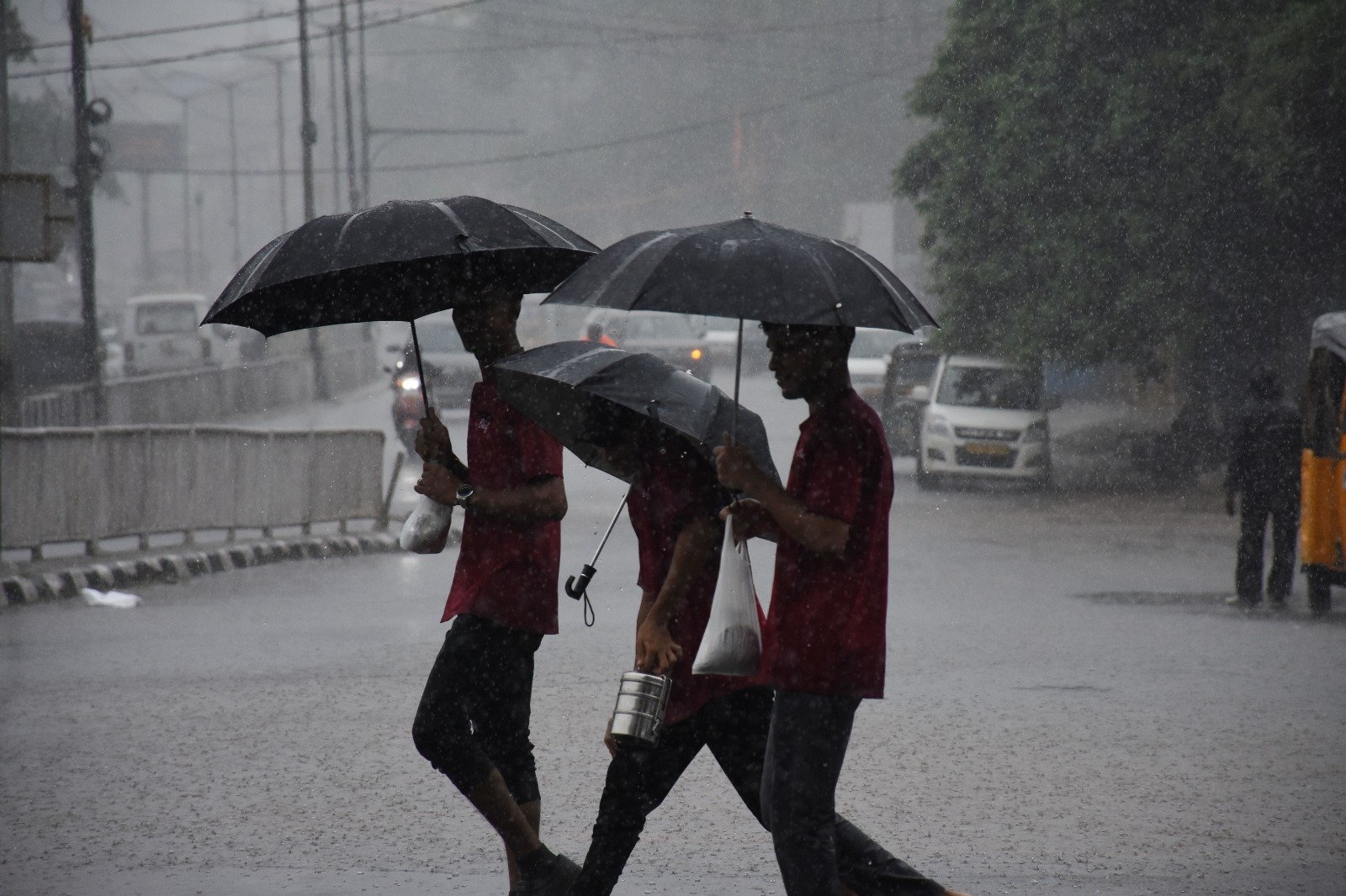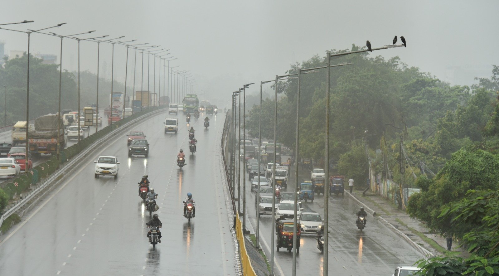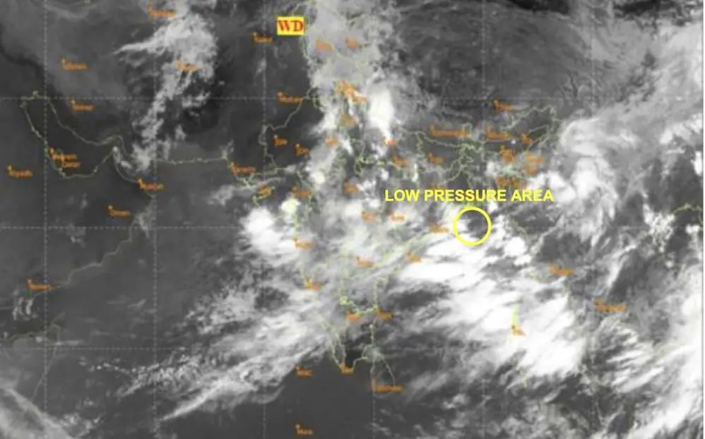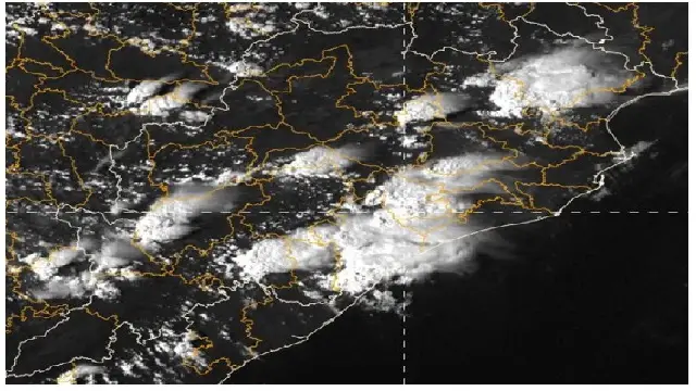
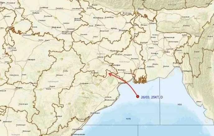
Bhubaneswar: A severe rainfall alert remains in effect for Odisha as a well-defined low-pressure area over the northwest Bay of Bengal, along with the adjacent regions of the North Odisha-West Bengal coasts, has evolved into a depression.
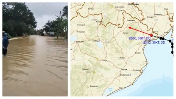
As of 8:30 AM on July 26, the depression was located approximately 130 km south-southeast of Sagar Island (West Bengal), 140 km southeast of Digha (West Bengal), 170 km east of Chandbali (Odisha), and 180 km east-southeast of Balasore (Odisha). According to the India Meteorological Department (IMD), it is projected to move northwestward and further intensify into a deep depression within the next 24 hours, crossing the north Odisha and West Bengal coasts near Paradip and Sagar Island around noon on July 27.
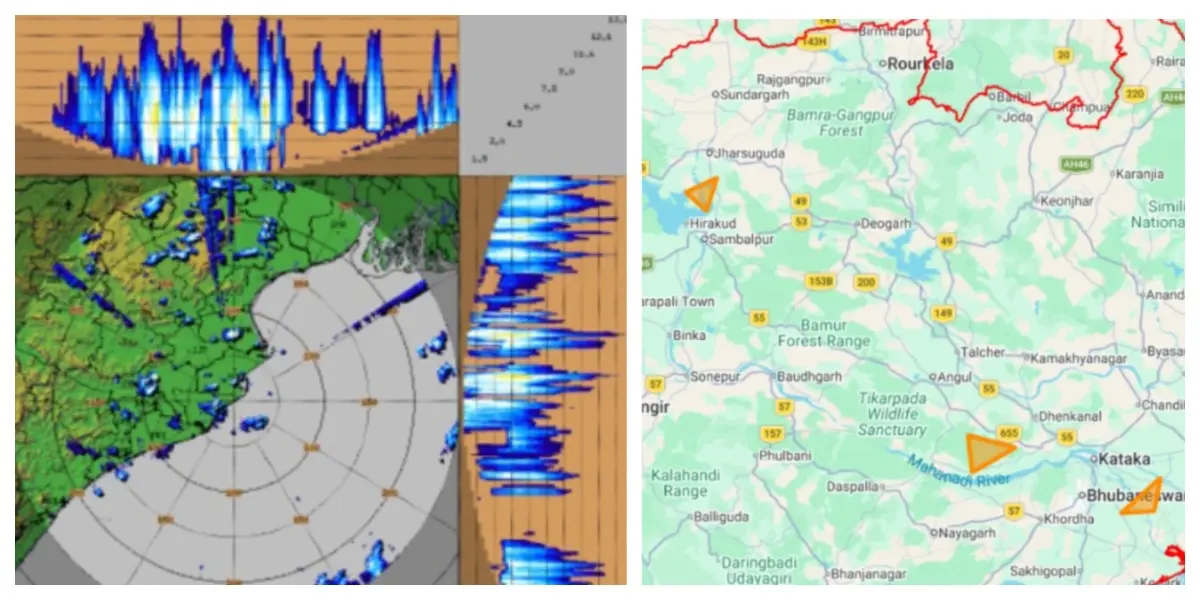
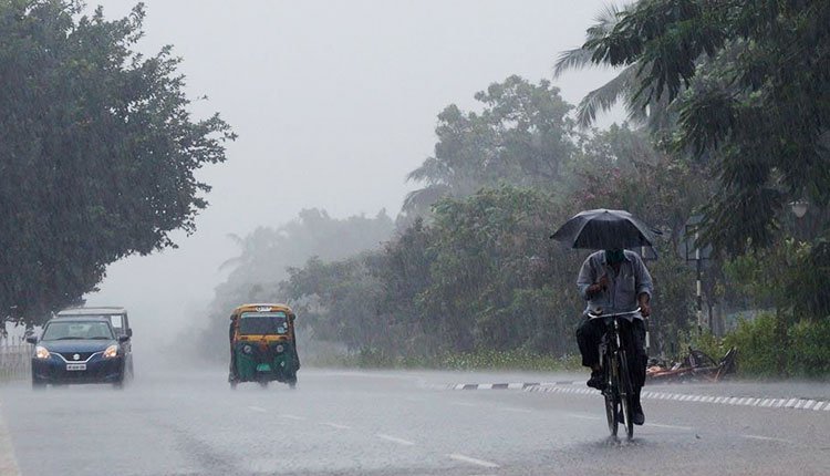
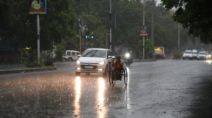
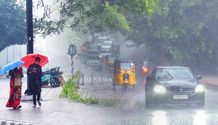
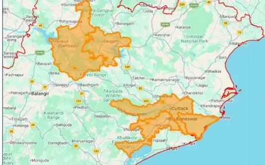
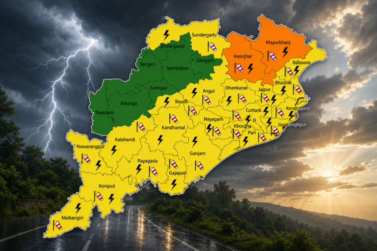
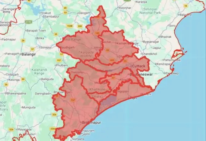
The weather agency has issued a red warning for nine districts for the next two days, alongside orange and yellow warnings for numerous areas across the state. These severe weather conditions could result in swollen rivers, localized flooding, and waterlogging in lower-lying regions and underpasses. Residents are advised to brace for reduced visibility, landslides, and possible damage to vulnerable structures, unpaved roads, and crops.
July 26 Forecast
Red Warning: Heavy to very heavy rainfall is expected at several locations, with extremely heavy rainfall anticipated at one or two spots in Jajpur, Kendrapada, Jagatsinghapur, Cuttack, Angul, and Dhenkanal.
Orange Warning: Heavy to very heavy rainfall is also likely in parts of Balasore, Bhadrak, Sundargarh, Jharsuguda, Baragarh, Sambalpur, Deogarh, Kendujhar, Mayurbhanj, Kalahandi, Kandhamal, Sonepur, Boudh, Nuapada, Balangir, Puri, Khordha, and Nayagarh.
Thunderstorms with lightning and gusty winds (40-50 km/h) are expected in one or two locations across Balasore, Bhadrak, Jajpur, Kendrapada, Jagatsinghapur, Cuttack, Angul, Dhenkanal, Kendujhar, and Mayurbhanj.
Yellow Warning: Heavy rainfall may occur at a few places in Nabarangpur, Rayagada, Koraput, Malkangiri, Gajapati, and Ganjam.
Thunderstorms accompanied by lightning and gusty winds (30-40 km/h) are also possible in one or two areas of Sundargarh, Jharsuguda, Baragarh, Sambalpur, Deogarh, Sonepur, Boudh, Nuapada, Balangir, Kalahandi, Kandhamal, Nabarangpur, Rayagada, Koraput, Malkangiri, Gajapati, Ganjam, Puri, Khordha, and Nayagarh.
July 27 Forecast
Red Warning: Heavy to very heavy rainfall, with extremely heavy rainfall at one or two locations, is forecasted for Sundargarh, Kendujhar, and Mayurbhanj.
Orange Warning: Heavy to very heavy rainfall is also anticipated in Balasore, Bhadrak, Jajpur, Kendrapada, Jagatsinghapur, Cuttack, Jharsuguda, Baragarh, Sambalpur, Deogarh, Angul, Dhenkanal, Sonepur, Boudh, and Kandhamal.
Thunderstorms with lightning and gusty winds (50-60 km/h) may occur at one or two locations in Balasore, Bhadrak, Jajpur, Kendrapada, Jagatsinghapur, Cuttack, Angul, Dhenkanal, Kendujhar, and Mayurbhanj. Similar conditions with winds of 40-50 km/h are also expected in Sundargarh, Jharsuguda, Baragarh, Sambalpur, Deogarh, Sonepur, Boudh, Nuapada, Balangir, Kalahandi, Kandhamal, Nabarangpur, Rayagada, Koraput, Malkangiri, Gajapati, Ganjam, Puri, Khordha, and Nayagarh.
Yellow Warning: Heavy rainfall may also occur in Nuapada, Balangir, Kalahandi, Nawrangpur, Rayagada, Koraput, Malkangiri, Gajapati, Ganjam, Puri, Khordha, and Nayagarh.
July 28 Forecast
Orange Warning: Heavy to very heavy rainfall is possible in Sundargarh, Jharsuguda, Baragarh, Sambalpur, Deogarh, Angul, Sonepur, Nuapada, and Balangir.
Yellow Warning: Heavy rainfall is expected in Balasore, Bhadrak, Jajpur, Dhenkanal, Kendujhar, Mayurbhanj, Boudh, Kalahandi, Kandhamal, Nabarangpur, and Nayagarh.
Thunderstorms with lightning and gusty winds (35-45 km/h) may occur at one or two locations in Balasore, Bhadrak, Jajpur, Sundargarh, Jharsuguda, Baragarh, Sambalpur, Deogarh, Angul, Dhenkanal, Kendujhar, Mayurbhanj, Sonepur, Boudh, Nuapada, Balangir, Kalahandi, Kandhamal, Nabarangpur, and Nayagarh.
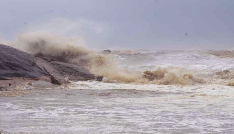
Squally winds reaching speeds of 45-55 km/h, gusting to 65 km/h, are expected over the North Bay of Bengal and adjacent Odisha-West Bengal-north Andhra Pradesh coasts until the evening of July 26. This will gradually increase to 55-65 km/h, gusting to 75 km/h, from the morning of July 27 to the morning of July 28, before slowly diminishing. Winds of 40-50 km/h, gusting to 60 km/h, are also forecasted over central and northeast Bay of Bengal from July 26-28.
A Local Cautionary Signal No-III (LC-3) will be displayed at all ports in Odisha.
July 29 Forecast
Yellow Warning: Heavy rainfall along with thunderstorms and gusty winds (30-40 km/h) may persist in Sundargarh, Jharsuguda, Baragarh, Kendujhar, and Mayurbhanj.
July 30 Forecast
Yellow Warning: Heavy rainfall with thunderstorms and gusty winds (30-40 km/h) is likely to continue in Sundargarh, Jharsuguda, and Sambalpur.
July 31-August 1 Forecast
Yellow Warning: Heavy rainfall with thunderstorms and gusty winds (30-40 km/h) may persist in Kendujhar and Mayurbhanj.