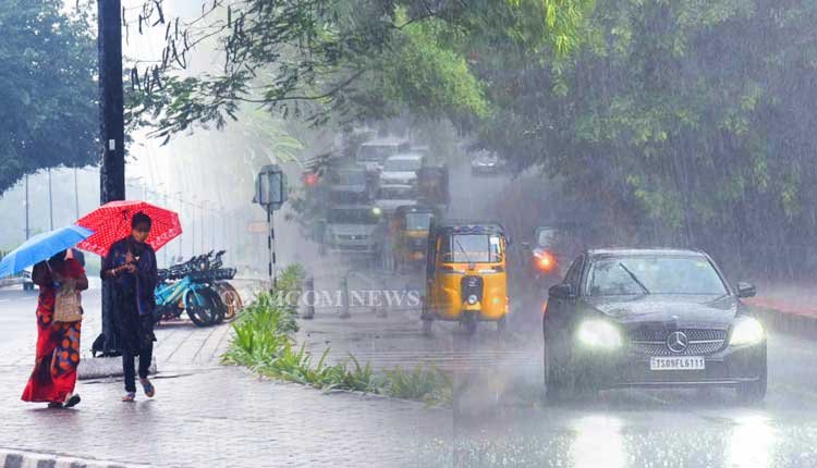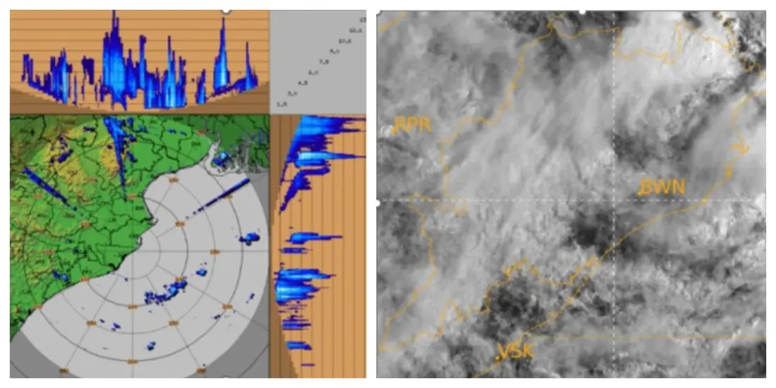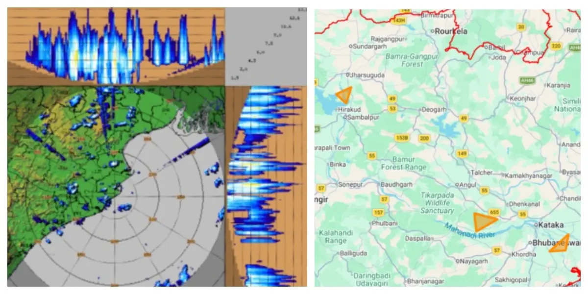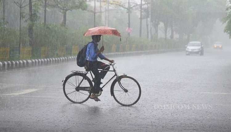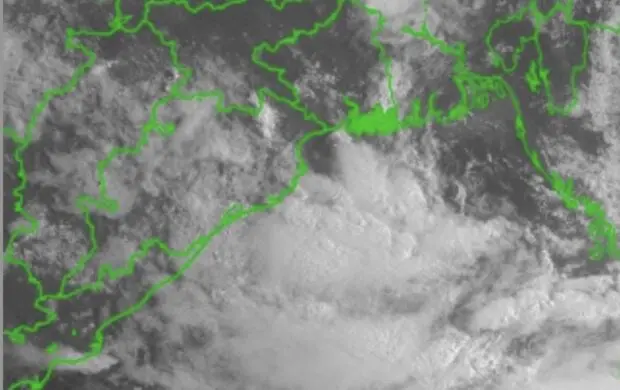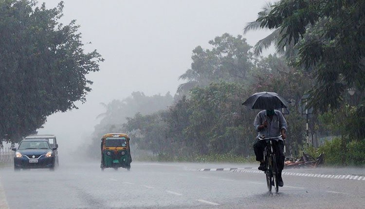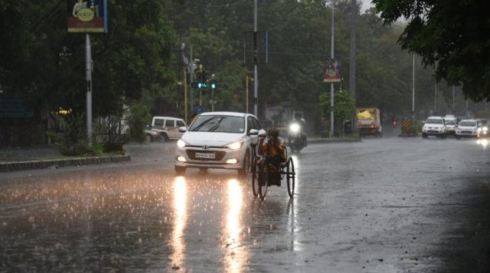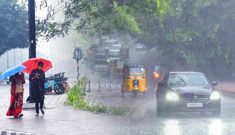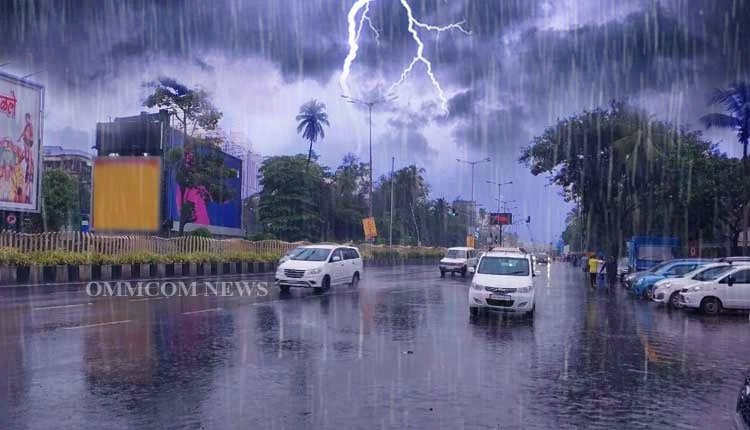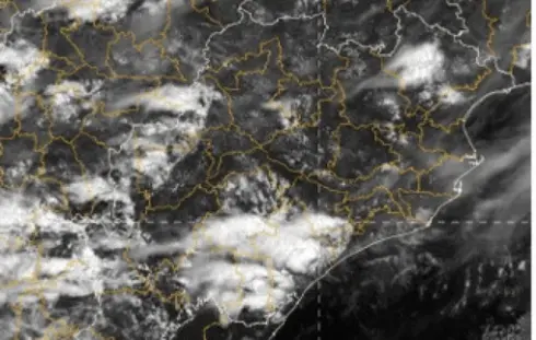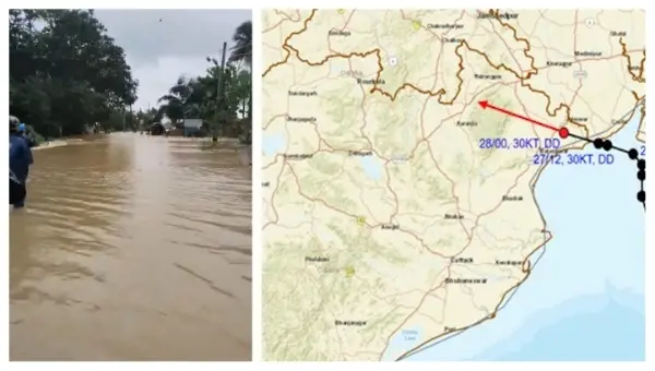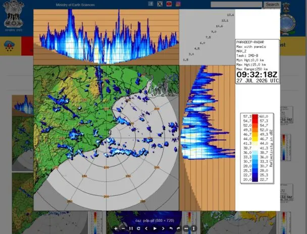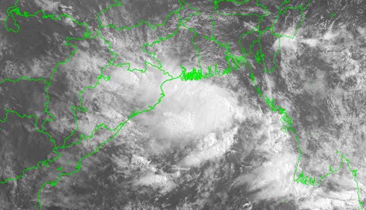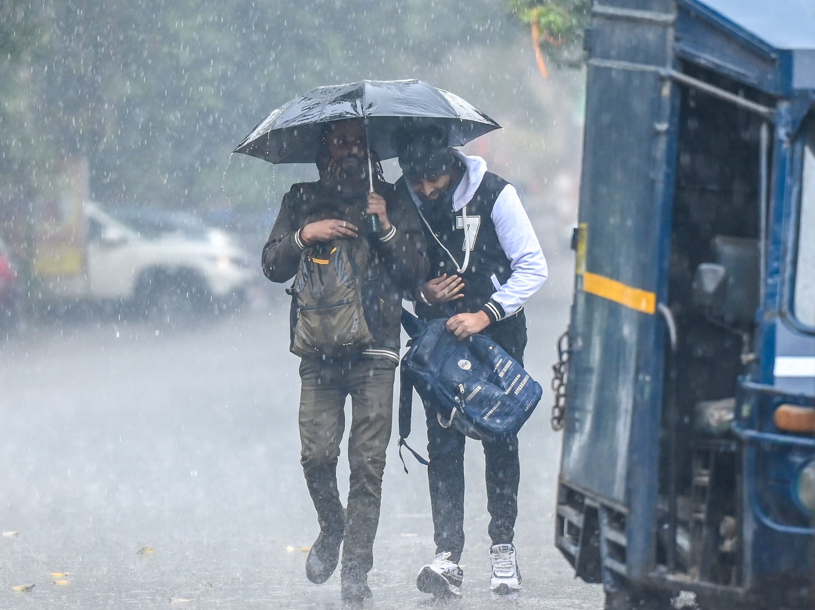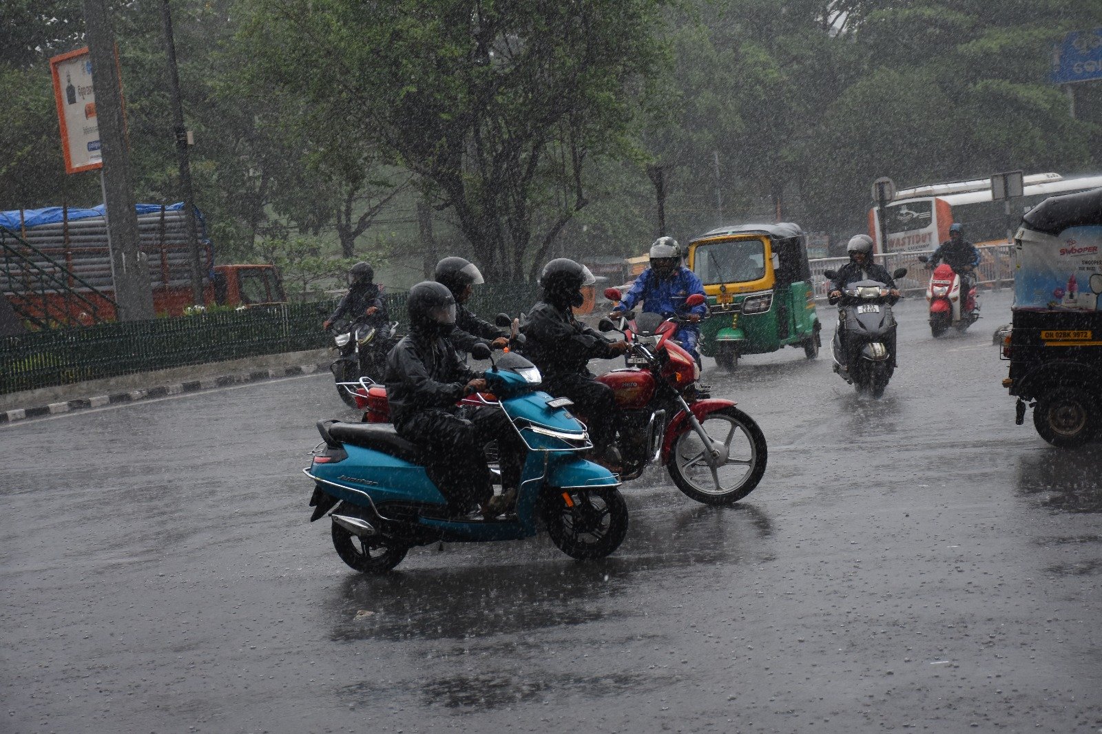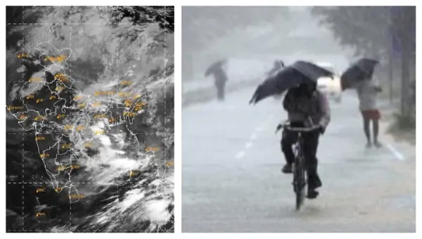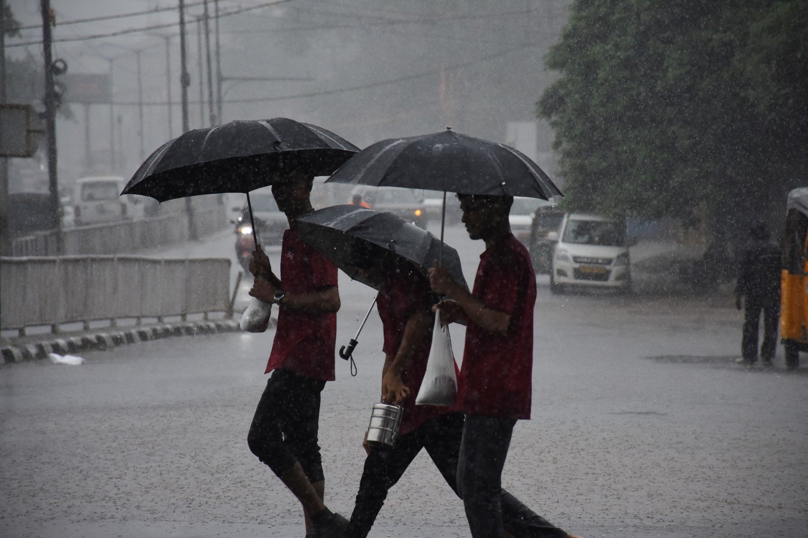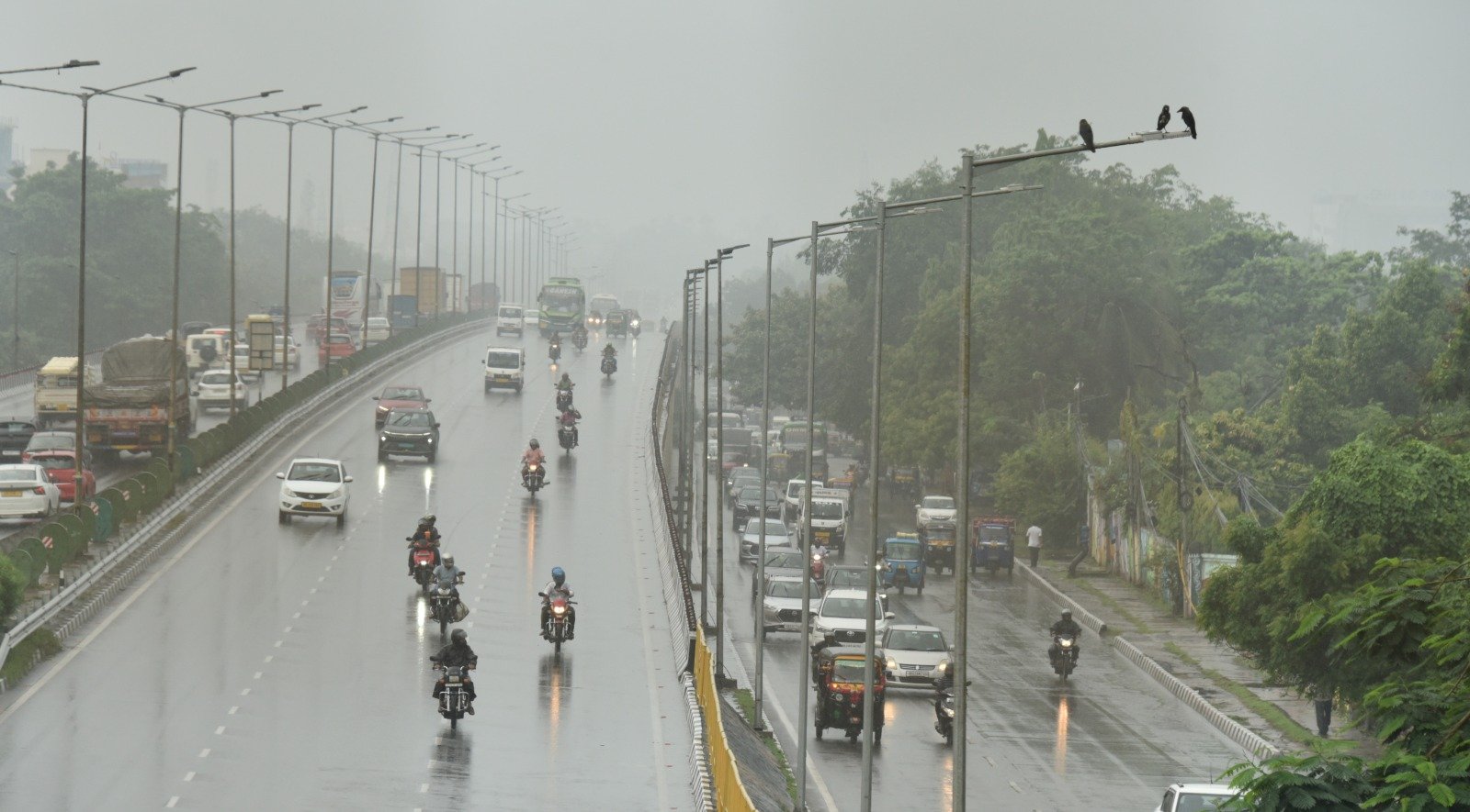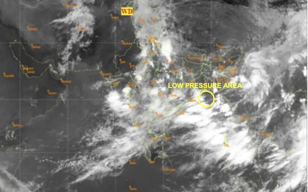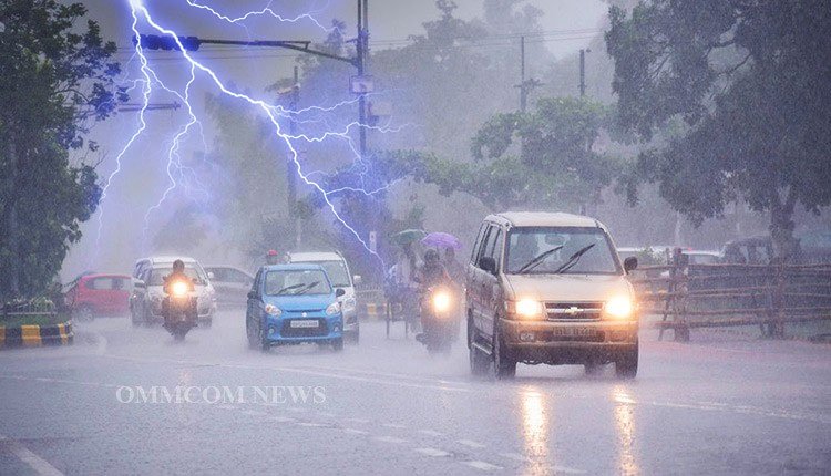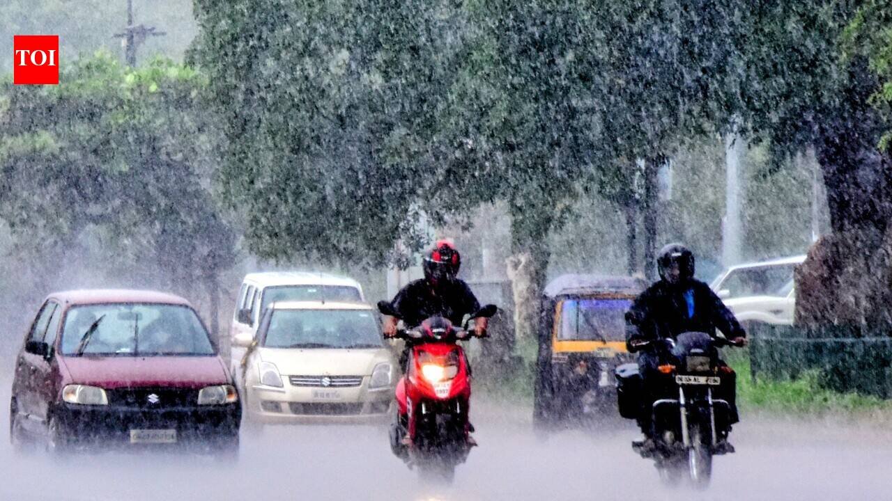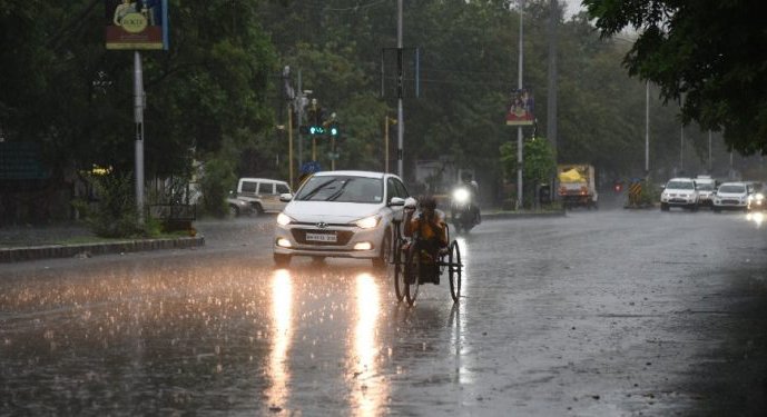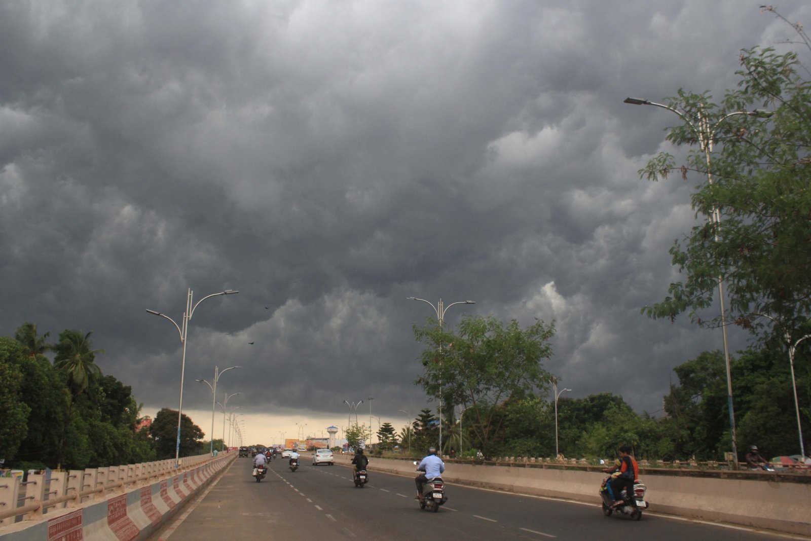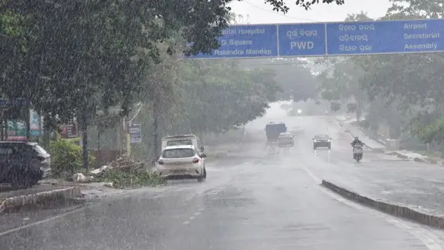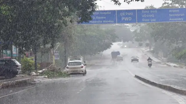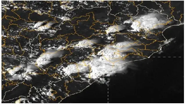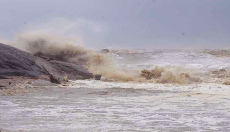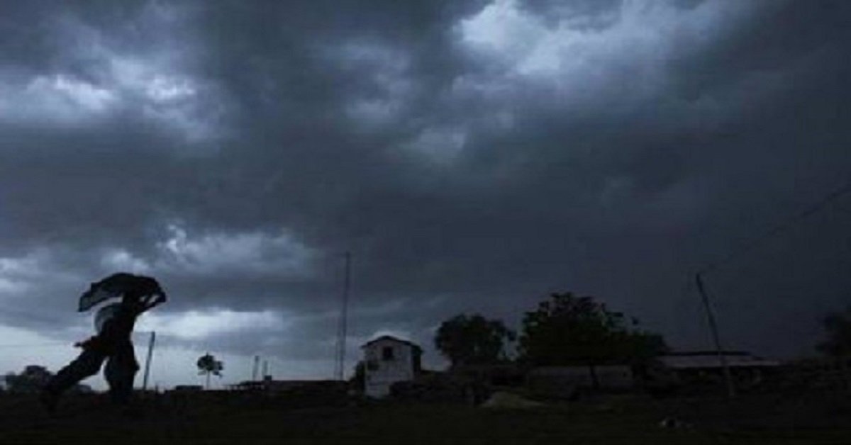

Bhubaneswar: Following a brief pause, heavy rainfall and thunderstorms are expected to persist in Odisha for the upcoming week, according to a report from the India Meteorological Department (IMD) released on Monday.
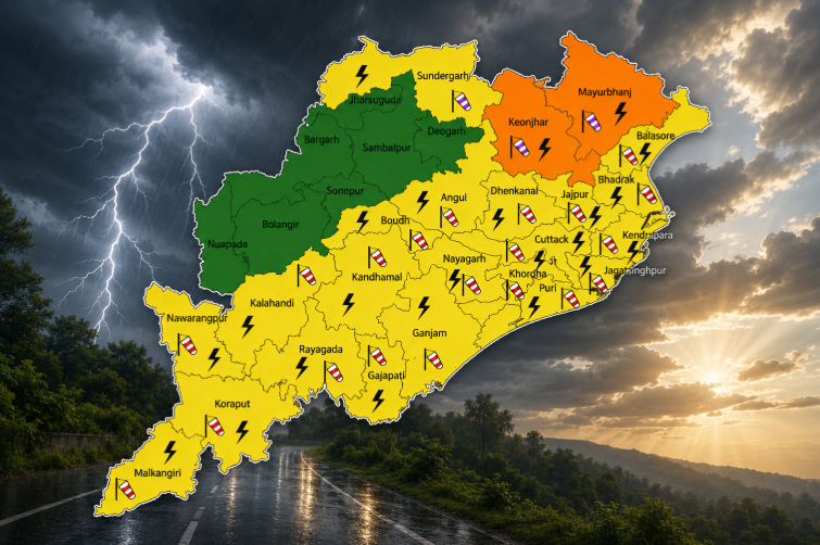
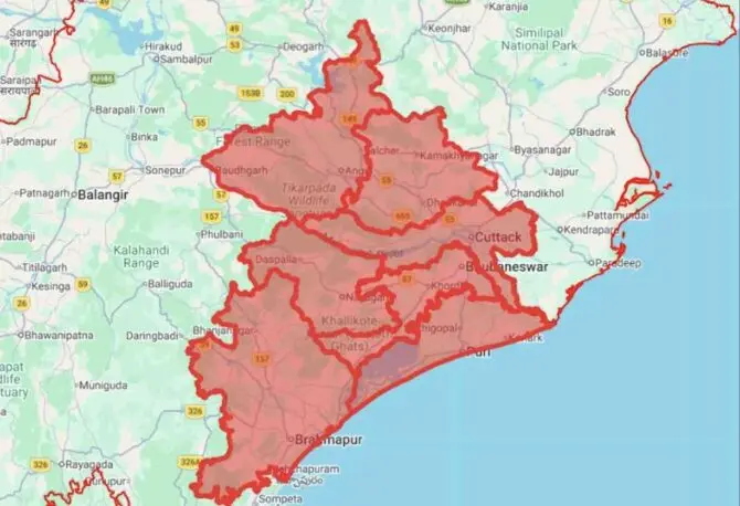
The IMD has issued a yellow alert for heavy rain and thunderstorms affecting various regions of the state until the morning of August 10.
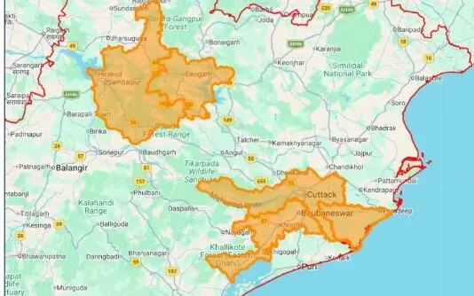
In its midday bulletin, the Meteorological Centre in Bhubaneswar highlighted a yellow warning for heavy rain expected in several areas, including Baleshwar, Sundaragada, Kendujhar, Mayurbhanj, Rayagada, Koraput, Malkangiri, and Gajapati over the next 24 hours.
Additionally, thunderstorms accompanied by lightning and strong winds (with speeds reaching 30-40 km/h) are forecasted for districts such as Baleshwar, Bhadrak, Jajpur, Kendrapada, Jagatsinghapur, Kataka, Sundaragada, Kendujhar, Mayurbhanj, Koraput, Malkangiri, Gajapati, Ganjam, Puri, Khordha, and Nayagada during this period.
On August 4-5, heavy rainfall is expected in parts of Mayurbhanj, while thunderstorms are also likely to affect the same districts as previously mentioned.
From August 5-6, heavy rain is anticipated in Baleshwar, Sundaragada, Anugola, Dhenkanal, Kendujhar, Mayurbhanj, Rayagada, Koraput, Malkangiri, and Gajapati, alongside thunderstorms in the same regions.
Similarly, on August 6-7, heavy rain may occur in one or two locations within Baleshwar, Sundaragada, Anugola, Dhenkanal, Kendujhar, Mayurbhanj, Kalahandi, Kandhamala, Rayagada, Koraput, Malkangiri, and Gajapati, with thunderstorms expected in several districts, including Jharsuguda, Baragada, and Sambalpur.
On August 7-8, heavy rain is forecasted for areas like Sundaragada, Sambalpur, Debagada, Kendujhar, Kalahandi, Kandhamala, Rayagada, Gajapati, Ganjam, and Nayagada. Thunderstorms are also likely to affect a broad range of districts including Baleshwar, Bhadrak, Jajpur, and others.
The IMD has further indicated that heavy rainfall will continue to affect Kandhamala, Rayagada, Gajapati, and Ganjam districts until the morning of August 10.