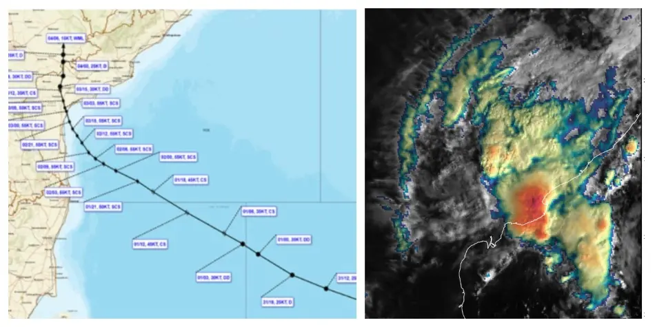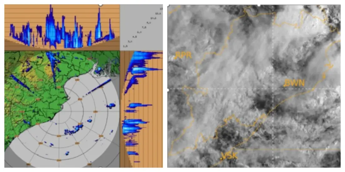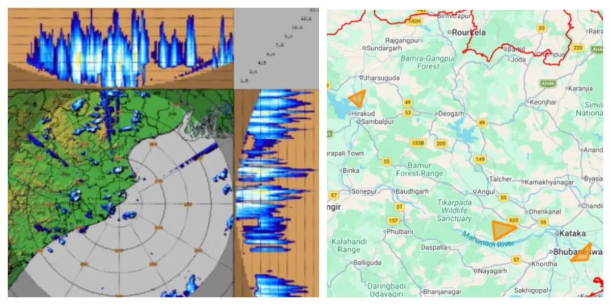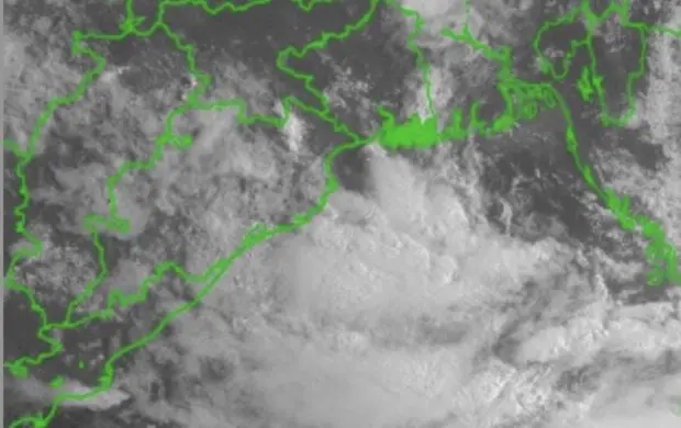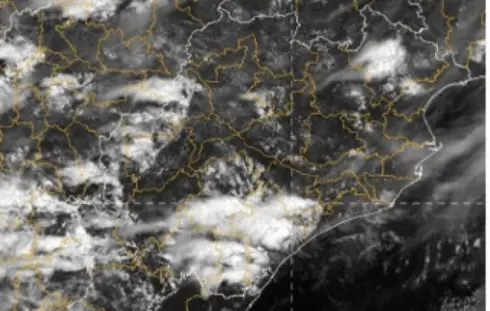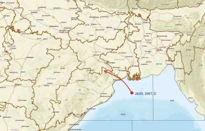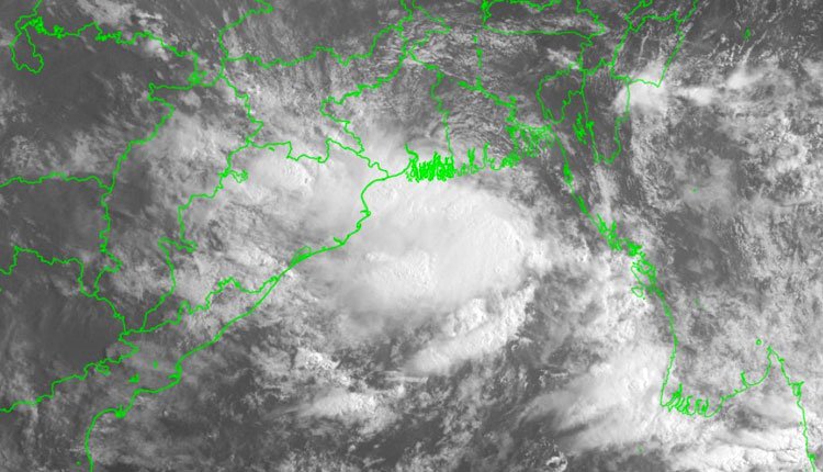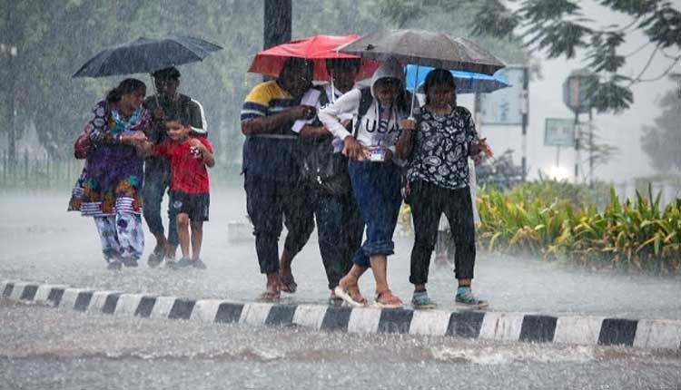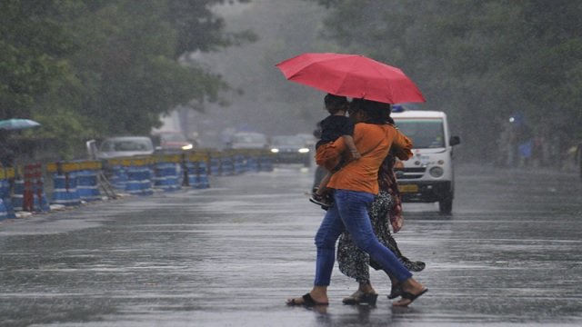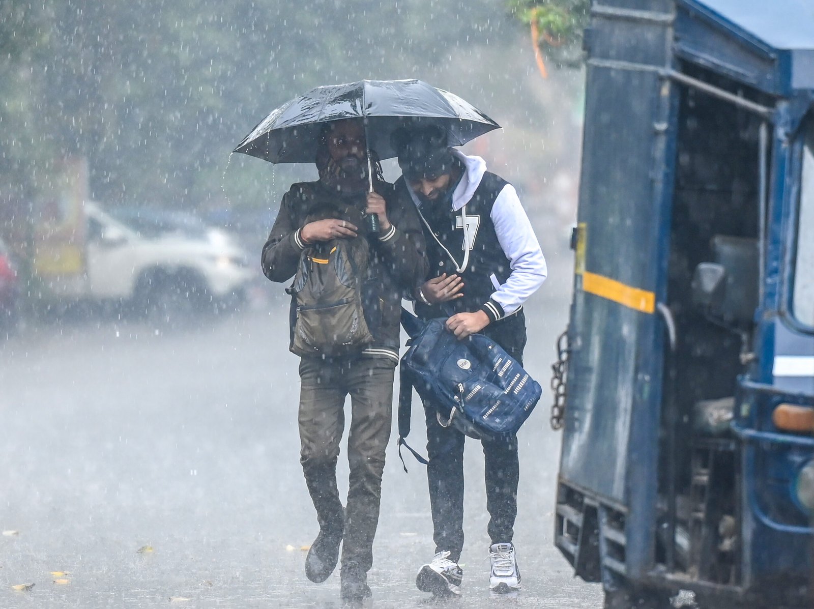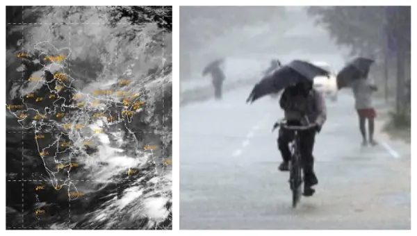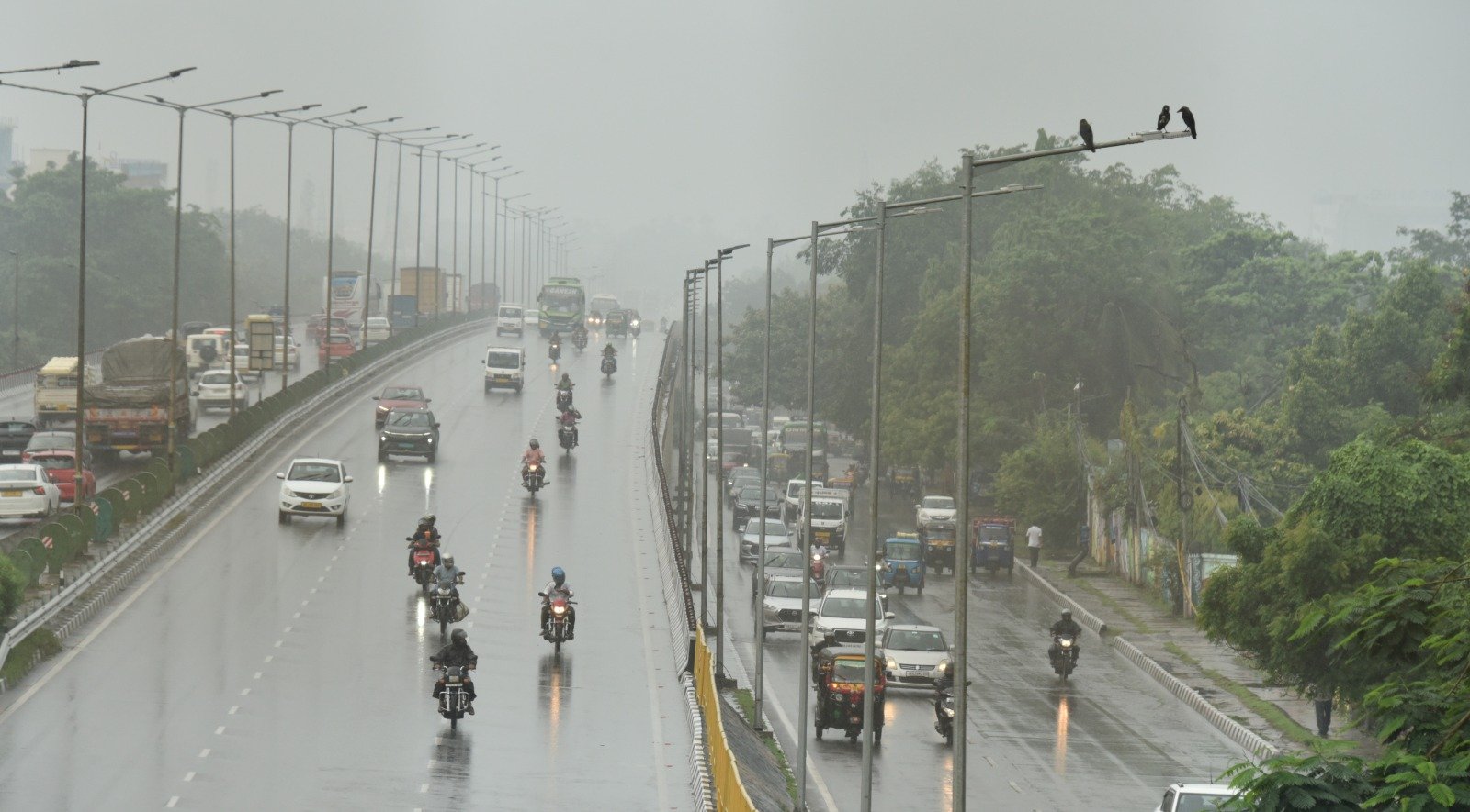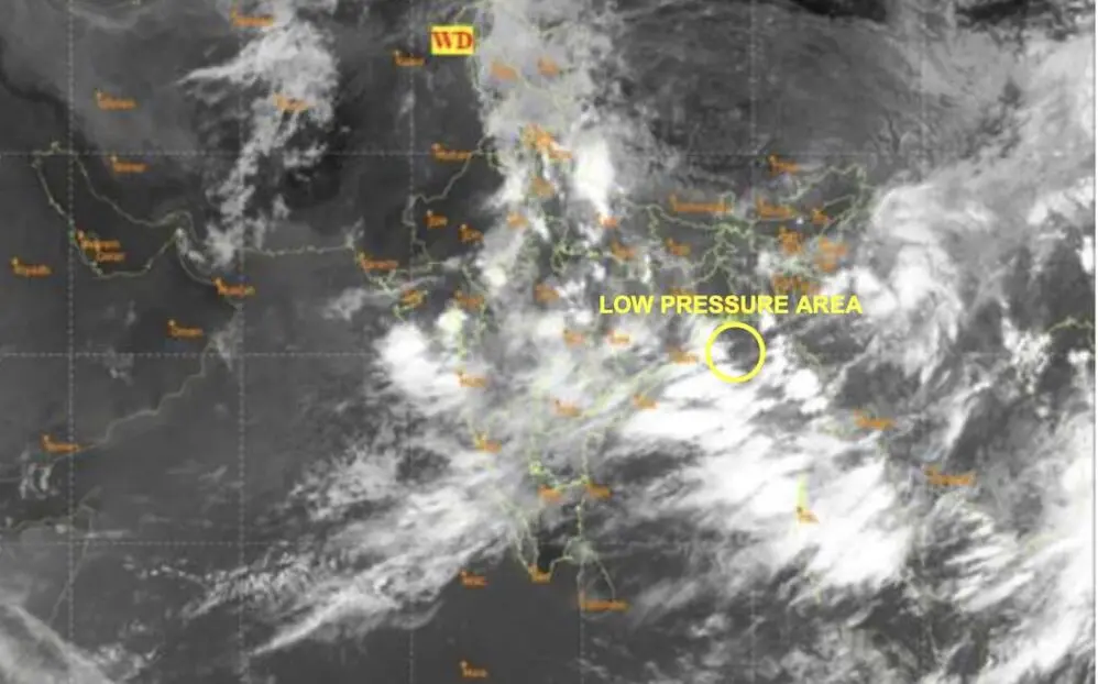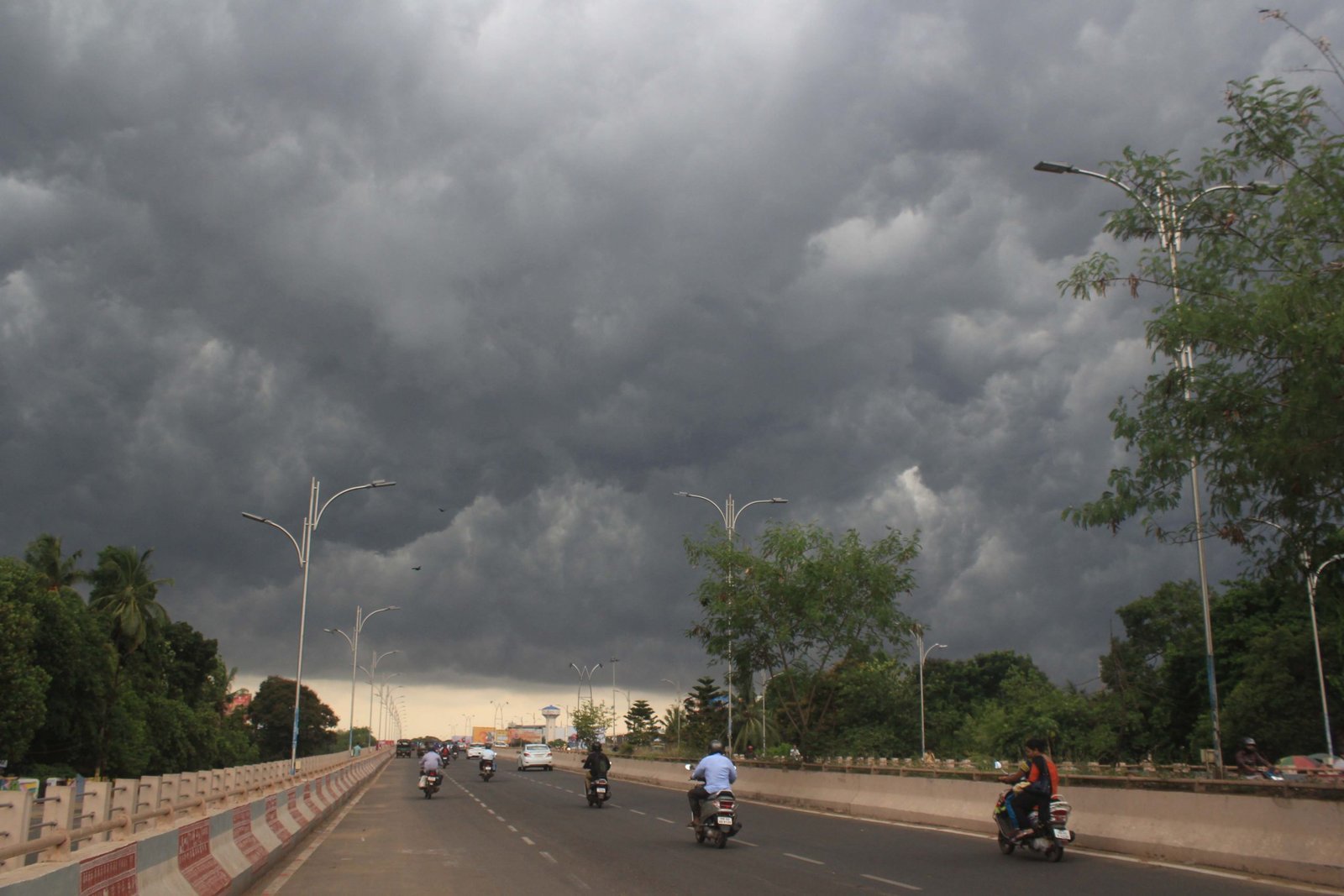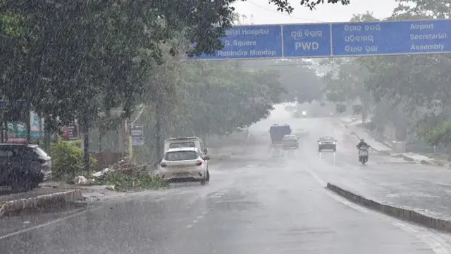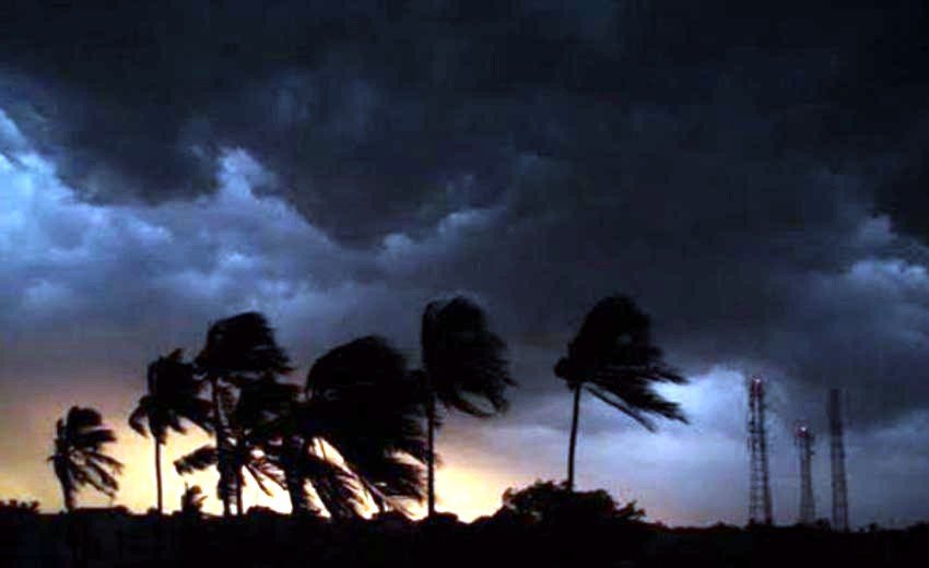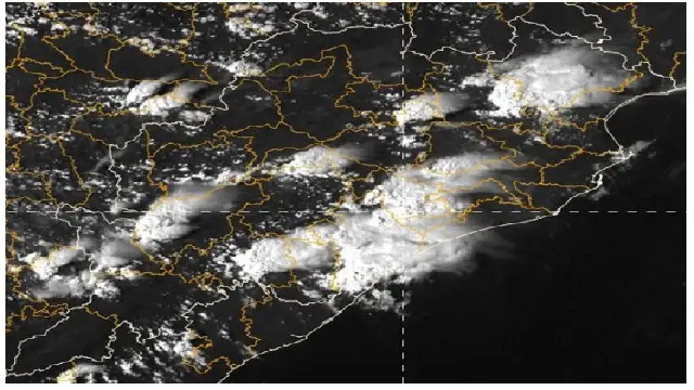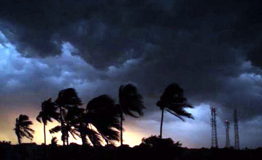
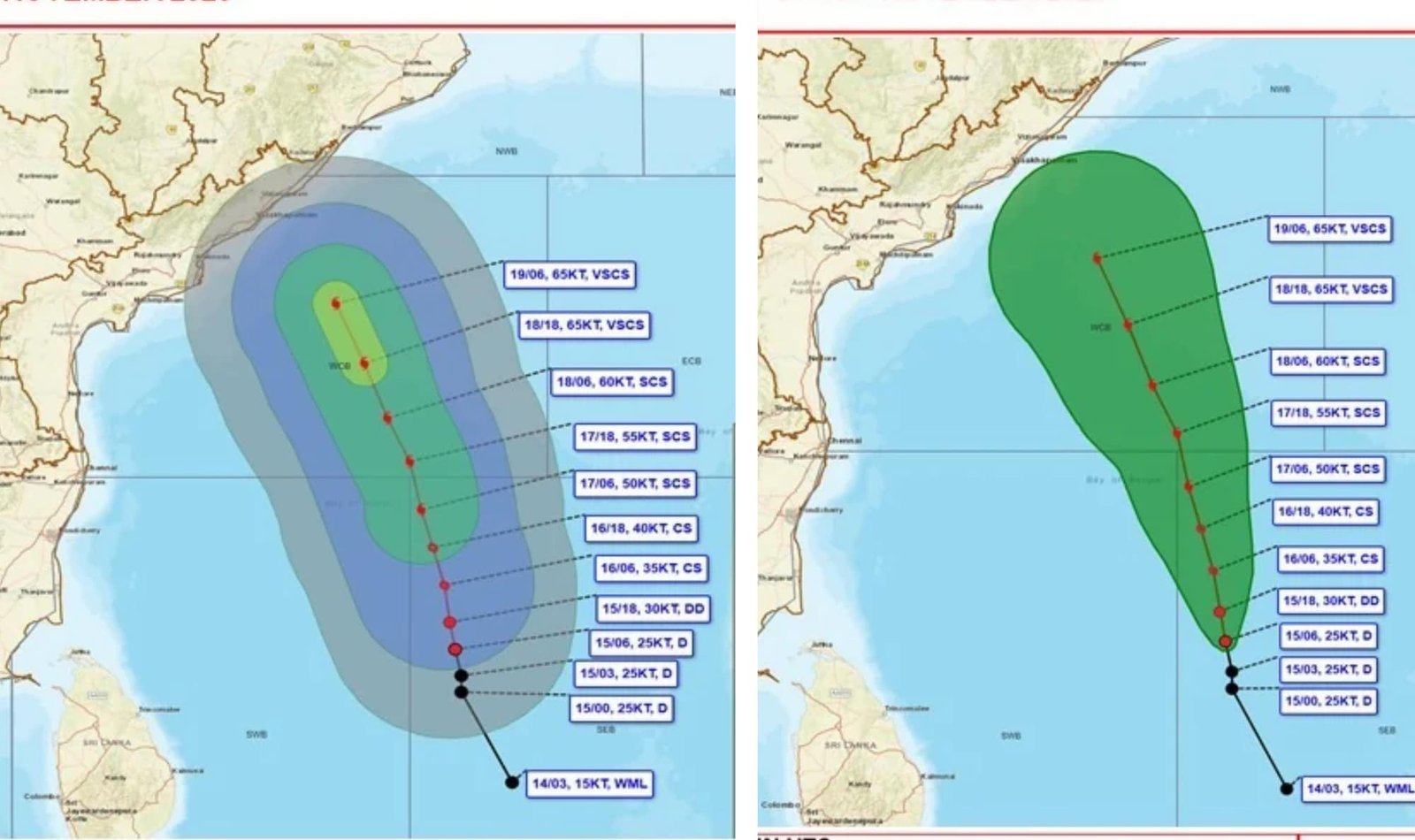
A depression that emerged over the southeast and adjacent southwest Bay of Bengal has intensified and is currently moving north-northwest.
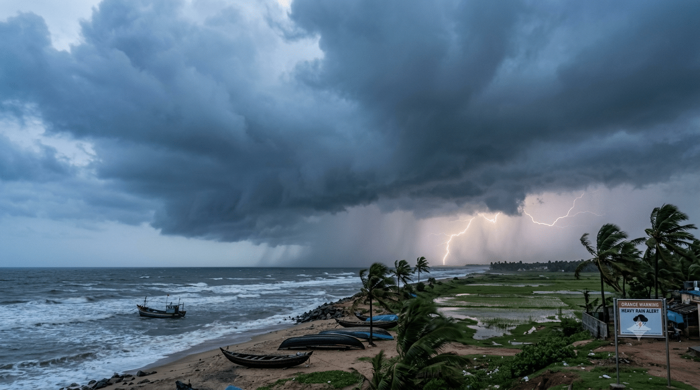
The India Meteorological Department (IMD) has cautioned that this weather system is expected to strengthen into a severe cyclonic storm, and later, a very severe cyclonic storm in the upcoming days.
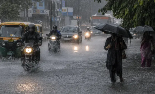
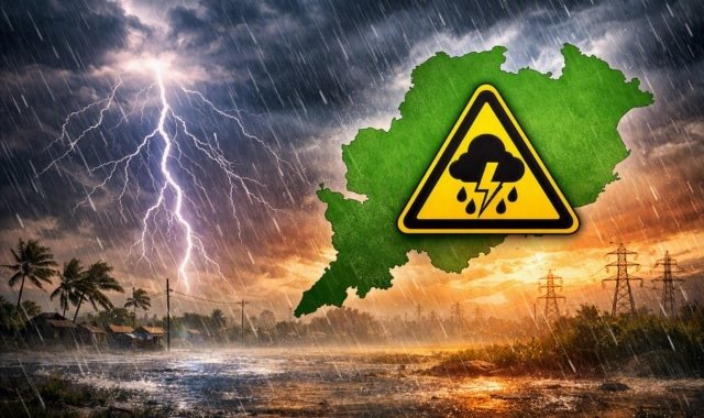
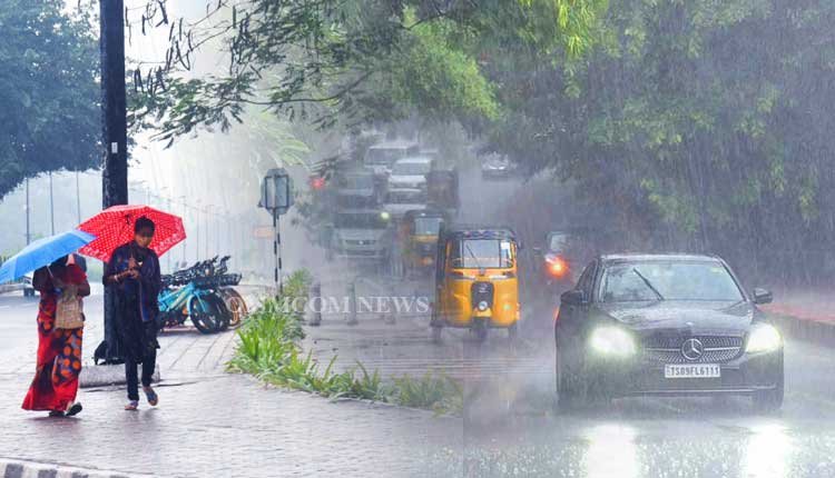
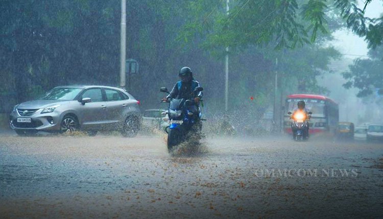
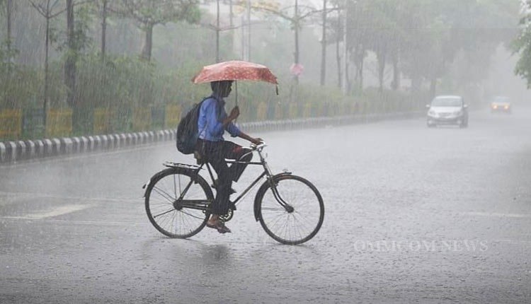
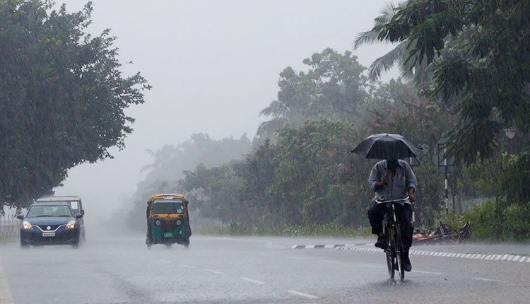
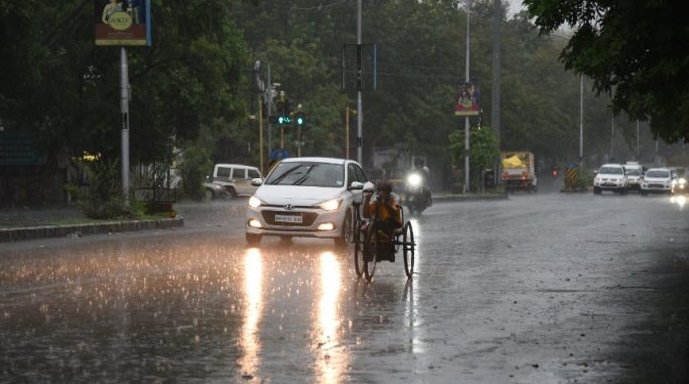
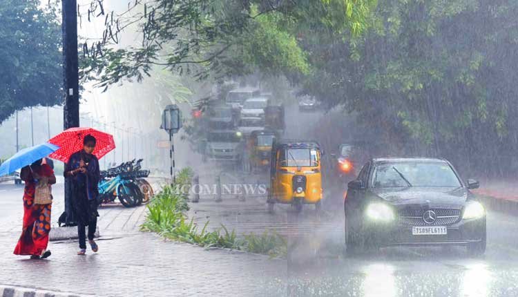
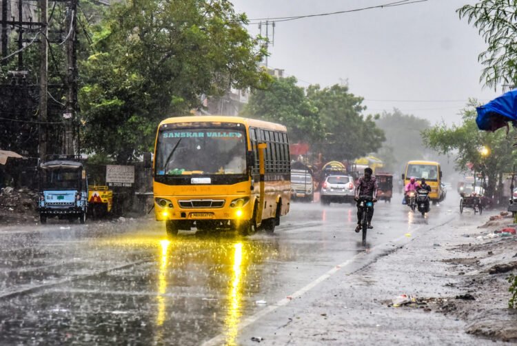
Dr. Manorama Mohanty, the Director of the IMD’s Bhubaneswar Regional Centre, indicated that the system is anticipated to approach the Andhra Pradesh coast, significantly impacting Odisha. Starting November 18, heavy to very heavy rainfall is predicted in various districts across the state.
On Sunday morning, the depression was situated over the southwest Bay of Bengal and nearby regions. Forecasts suggest it will evolve into a deep depression by Sunday evening, develop into a cyclonic storm by November 16, and escalate to a severe cyclonic storm by November 17. By the morning of November 19, it is likely to become a very severe cyclonic storm, with sustained wind speeds reaching 120-130 km/h, and gusts possibly hitting 145 km/h over the sea.
Rainfall Forecast
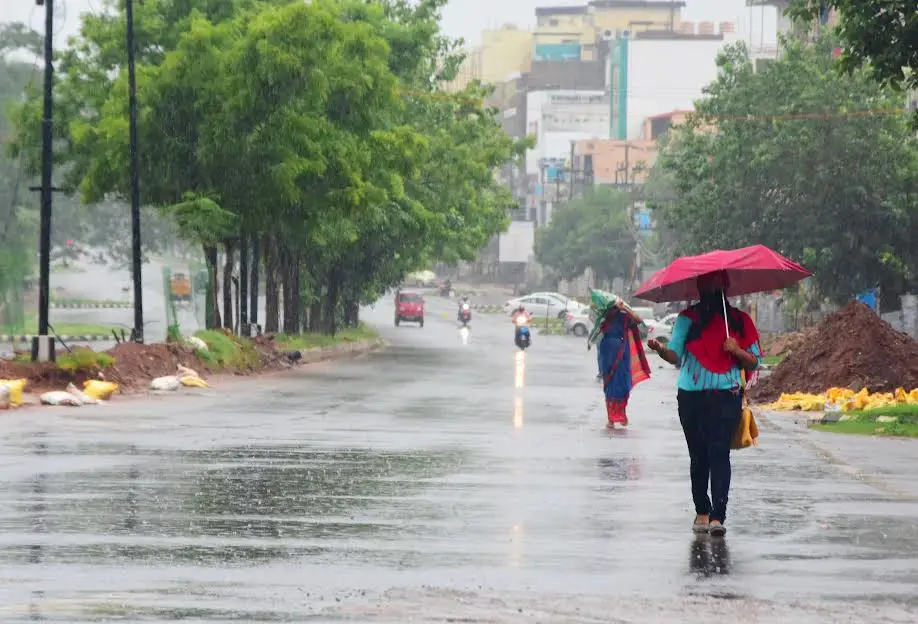
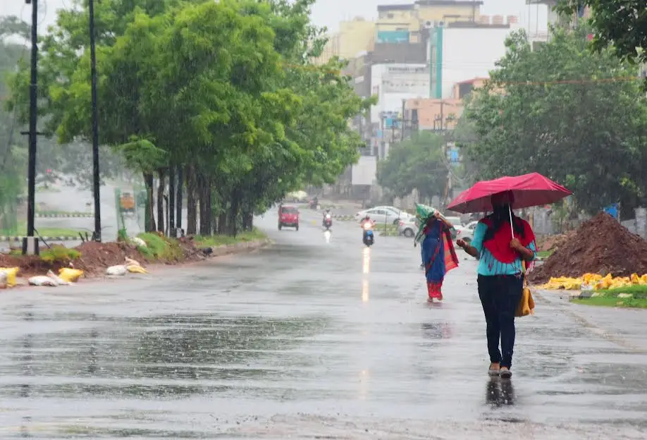
The IMD has reported that Odisha will largely remain dry until November 17, with rainfall expected to start affecting coastal and several interior districts from November 18.
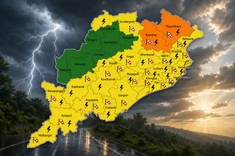
- November 18: Light to moderate rain or thundershowers are likely in isolated areas of coastal Odisha and districts such as Keonjhar, Mayurbhanj, Anugola, Dhenkanal, Boudh, Kandhamala, Rayagada, Koraput, and Malkangiri.
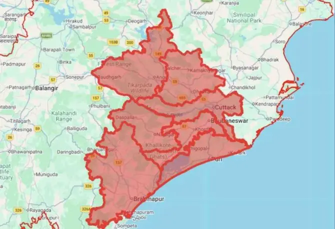
Yellow Warning: Heavy rainfall is anticipated in Gajapati, Ganjam, and Puri districts.
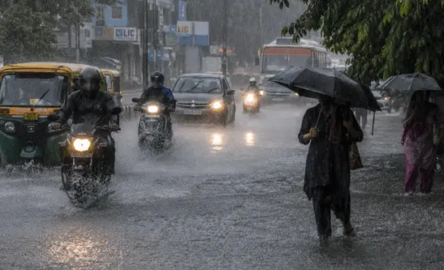
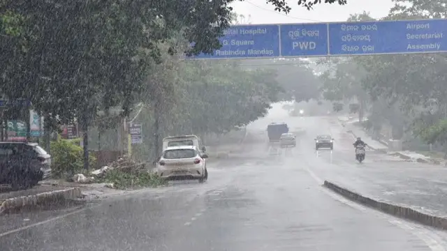
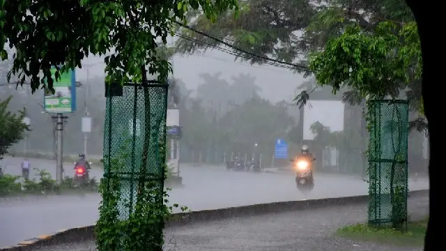
From November 19 to 21, thunderstorms and widespread rainfall are expected throughout Odisha.
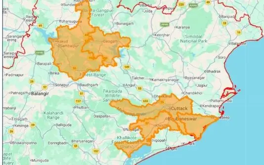
- Orange Warning (Nov 19): Very heavy rainfall and winds of 50-60 km/h are forecast for Gajapati, Ganjam, and Puri districts.
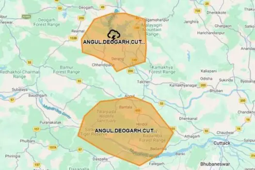
Yellow Warning: Alerts have been issued for Baleshwar, Bhadrak, Jajpur, Kendrapada, Jagatsinghpur, Kataka, Kendujhar, Mayurbhanj, Kandhamala, Rayagada, Koraput, Malkangiri, Khordha, and Nayagada.
On November 20, the Orange Warning will continue for Rayagada, Koraput, Malkangiri, Gajapati, and Ganjam. On November 21, Sundargarh, Jharsuguda, and Baragarh districts will be under the Orange Warning as well.
Wind and Sea Conditions
The IMD has issued a marine warning, forecasting:
- Winds of 40-50 km/h along the south Odisha coast starting November 17.
- Wind speeds increasing to 50-60 km/h between November 18 and 20.
- Wind speeds over the central Bay of Bengal may escalate to 100-130 km/h from November 18 onwards.
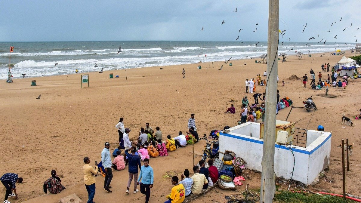
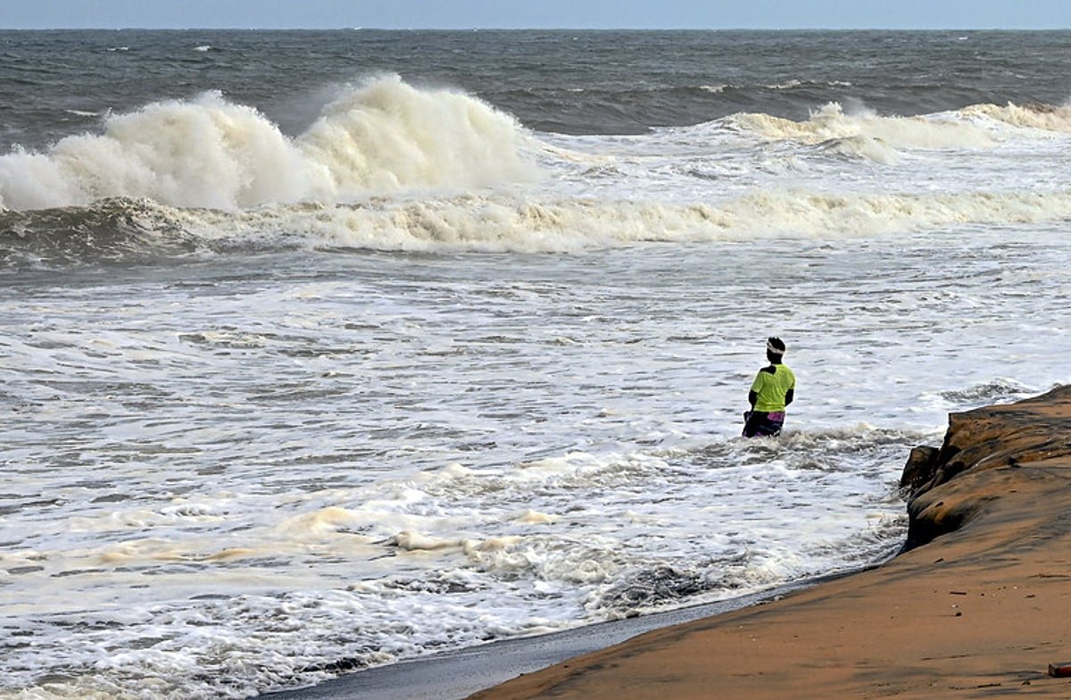
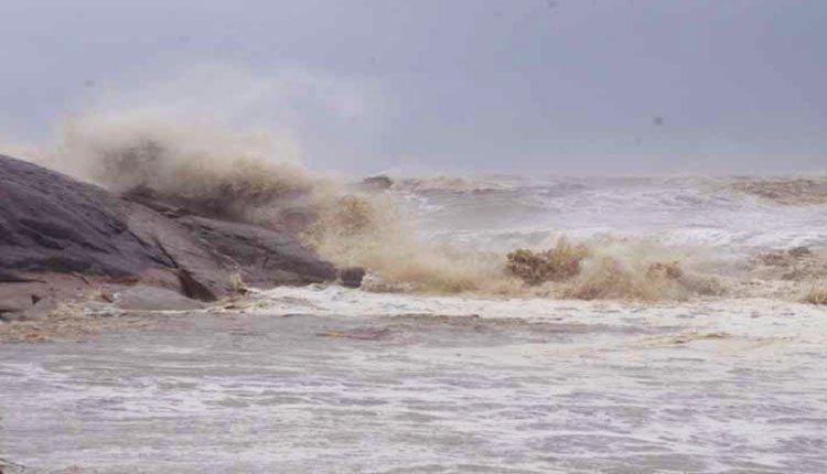
- The sea is expected to be very rough to high along the Odisha coast from November 17 to 21.
Advisory for Fishermen
Fishermen are advised to return to shore immediately and to refrain from going out to sea. Fishing activities have been suspended in the southwest and central Bay of Bengal, as well as along the south Odisha coast during the warning period.
Possible Impact
The Regional Meteorological Centre has warned of potential outcomes such as:
- Uprooting of trees
- Damage to temporary structures
- Disruption of power and communication lines
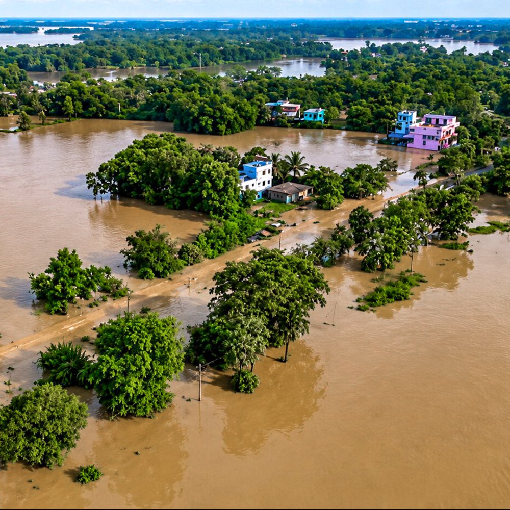
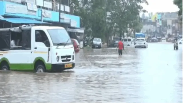
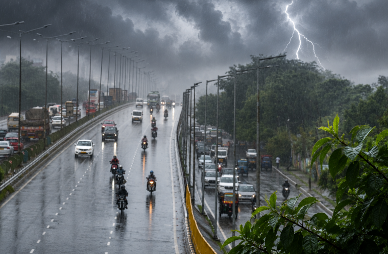
- Waterlogging in low-lying areas
- Blockages on roads
- Localized landslides in susceptible hilly regions
Authorities have been urged to stay vigilant as the cyclone system continues to develop over the Bay of Bengal.