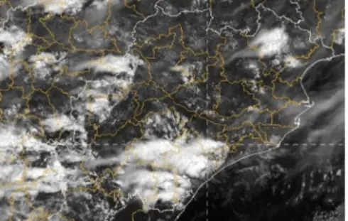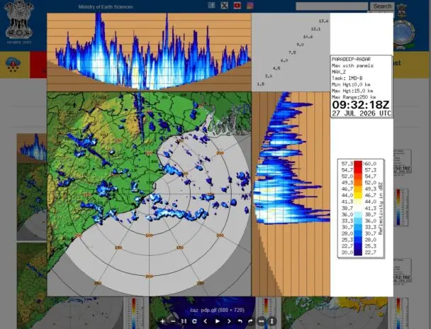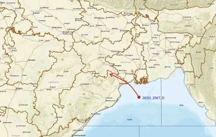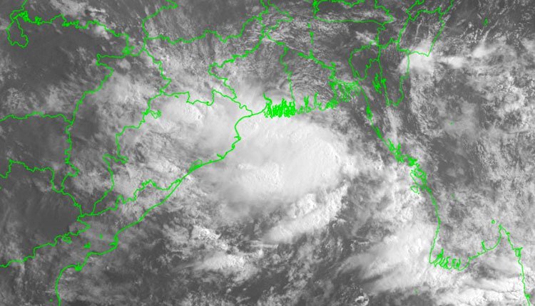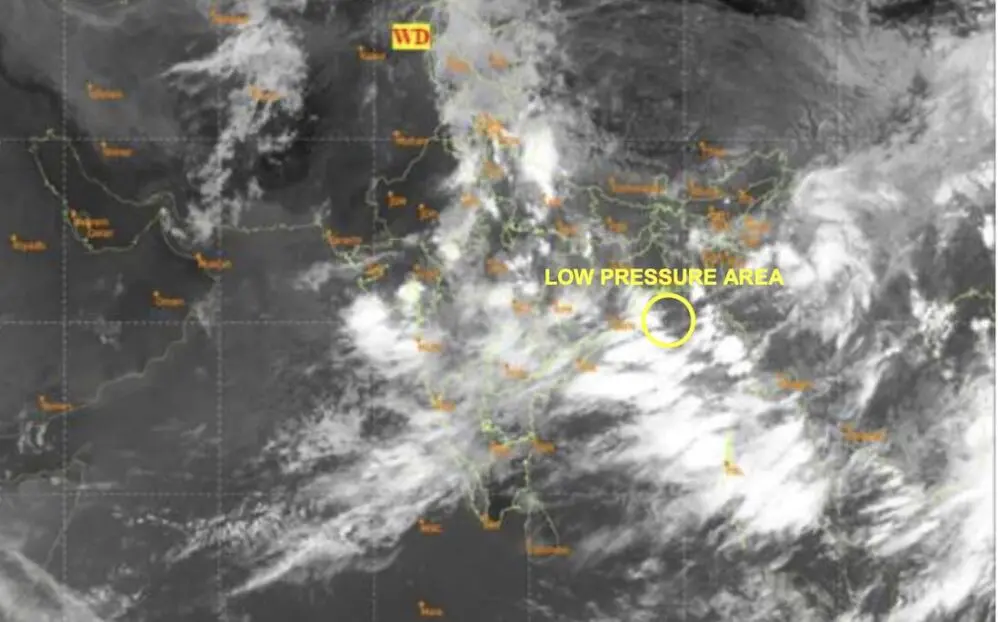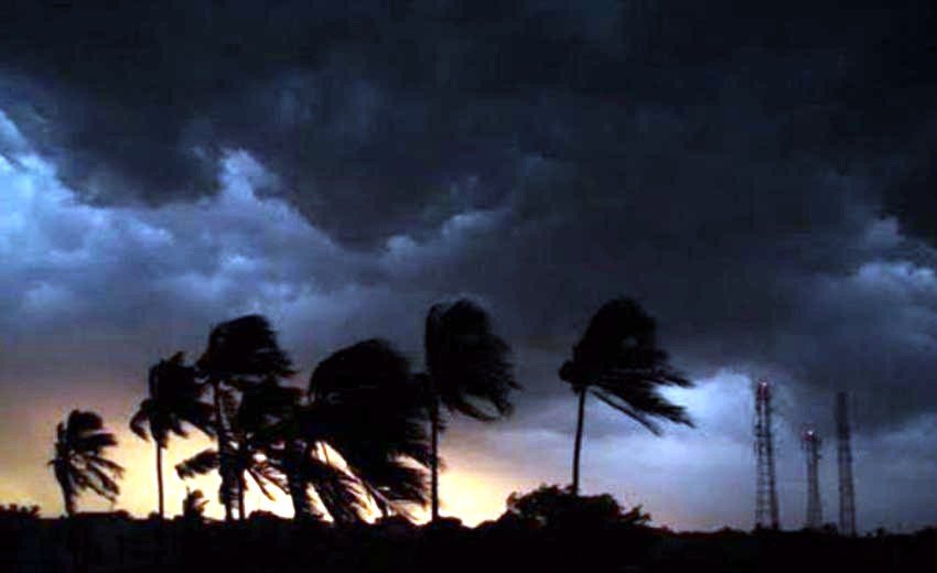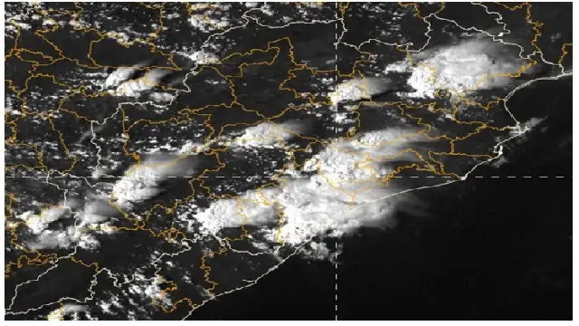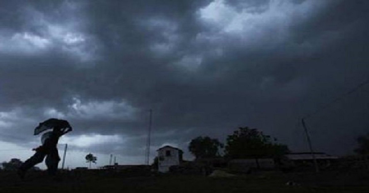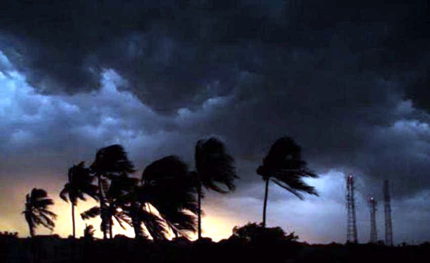

BHUBANESWAR: Just hours after Cyclone Arnab wreaked havoc along the eastern coastline, meteorologists are forecasting the development of another low pressure system over the Bay of Bengal on Thursday.
The India Meteorological Department (IMD) noted that an upper air cyclonic circulation is present over the southern Andaman Sea and surrounding areas at lower and middle tropospheric levels. This condition is expected to give rise to a low pressure zone in the region within the next 24 hours. While the IMD has yet to provide specifics regarding the system’s potential intensification and trajectory, most forecasting models, including ensemble and artificial intelligence models, indicate a northwestward movement, with a weakening trend anticipated within two days.
However, the Global Forecast System (GFS) models have hinted at the possibility of the system gaining strength.
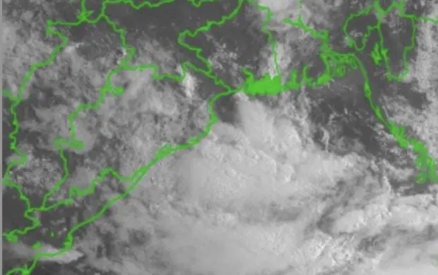
Jason Nicholls, a meteorologist with AccuWeather International, shared on X that following Cyclone Arnab, a swirl of clouds over the Andaman and Nicobar Islands is expected to evolve into a low pressure area in the next day or two. This development could lead to the formation of a depression, which may enhance rainfall across parts of eastern India early next week.
Independent weather analysts have projected that a new low pressure area could emerge over the southern Andaman Sea within the next 48 hours, likely intensifying into a well-defined low pressure system moving west-northwest towards the northern Tamil Nadu and southern Andhra Pradesh coasts.
Another weather tracker echoed these predictions, stating that the new low pressure system is expected to advance toward the northern Tamil Nadu and southern Andhra Pradesh coastline.
Weather experts have noted that during El Niño years, tropical cyclones in the North Indian Ocean tend to form closer to the equator, making them more likely to affect Andhra Pradesh and Tamil Nadu, particularly in October.
Conversely, storms that develop in November often track towards the coasts of Odisha and West Bengal. For example, the very severe cyclone Bulbul made landfall on the West Bengal coast in November 2019, as highlighted by a meteorologist.
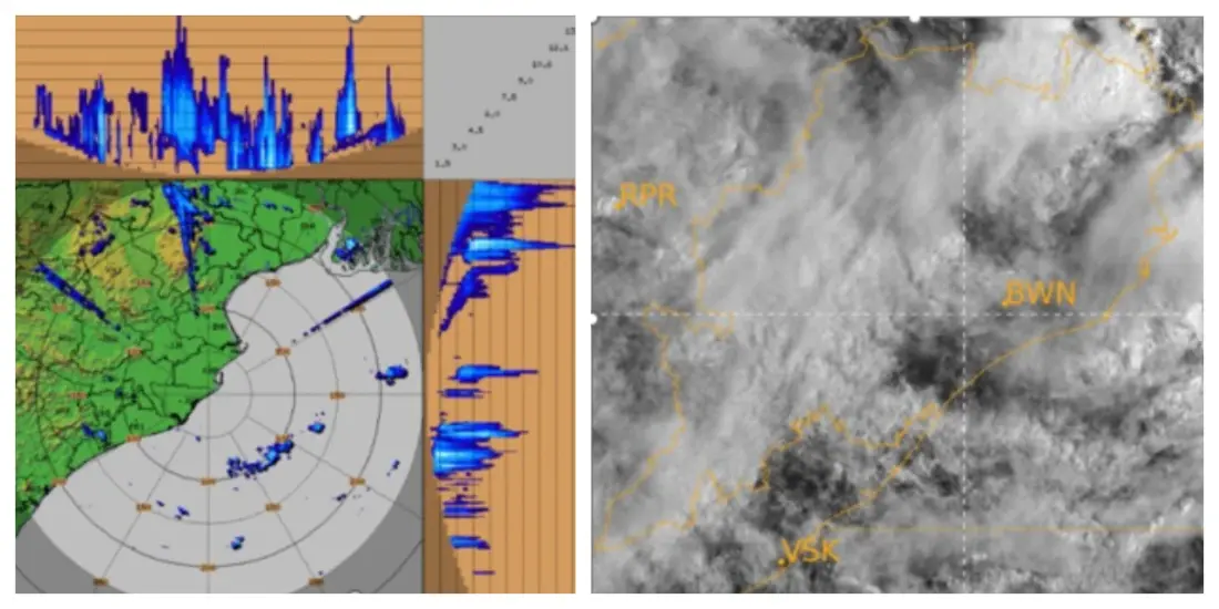
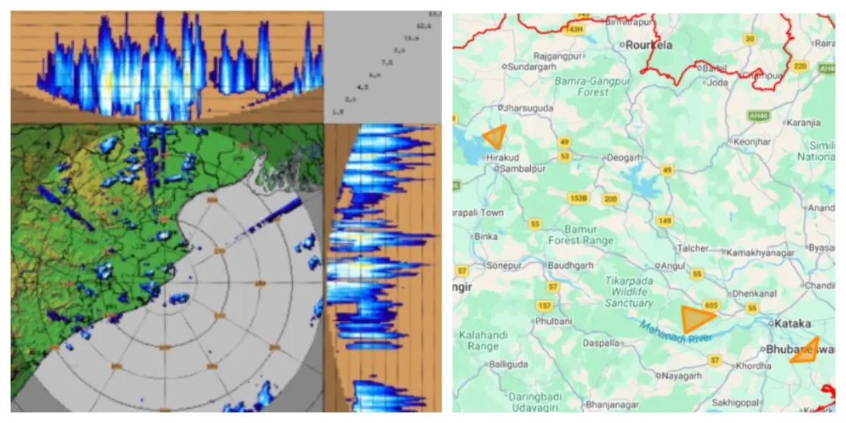
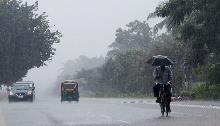
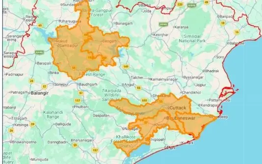
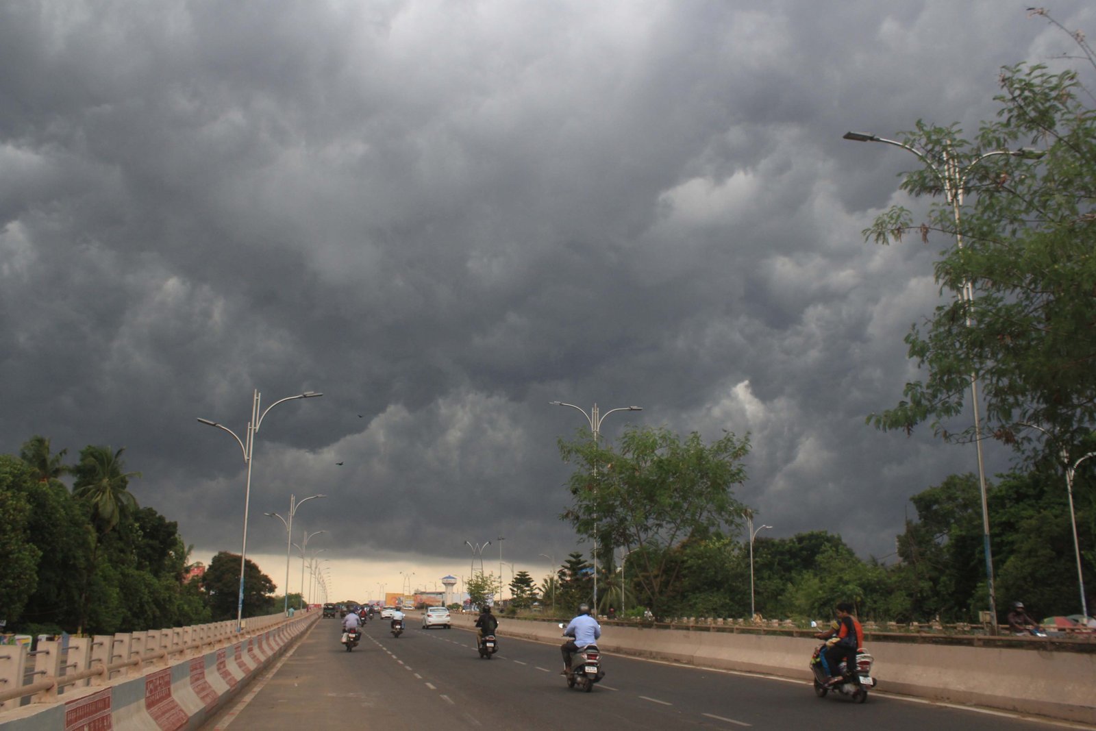
Meanwhile, heavy rainfall has significantly affected parts of Odisha due to Cyclone Arnab since Tuesday, with the cities of Bhubaneswar and Cuttack experiencing substantial downpours on that day. As a result of the adverse weather, three flights from Biju Patnaik International Airport (BPIA) were canceled.
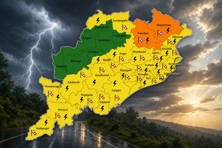
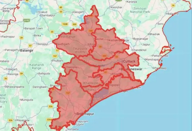
Two flights bound for Jeypore and one for Utkela were also suspended due to the heavy rainfall and strong winds. Although Arnab is expected to weaken into a deep depression by late Wednesday night, areas in Sundargarh, Jharsuguda, and Bargarh are predicted to receive heavy to very heavy rainfall in the coming 24 hours.