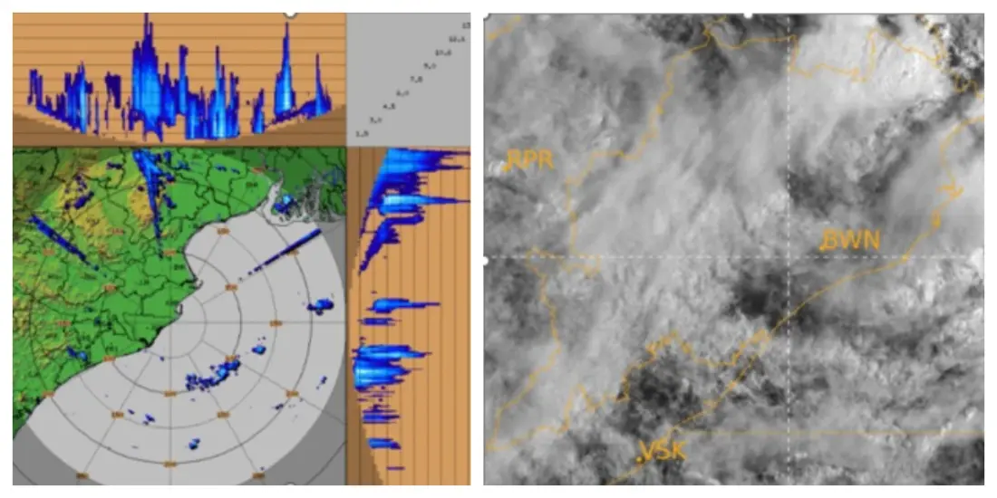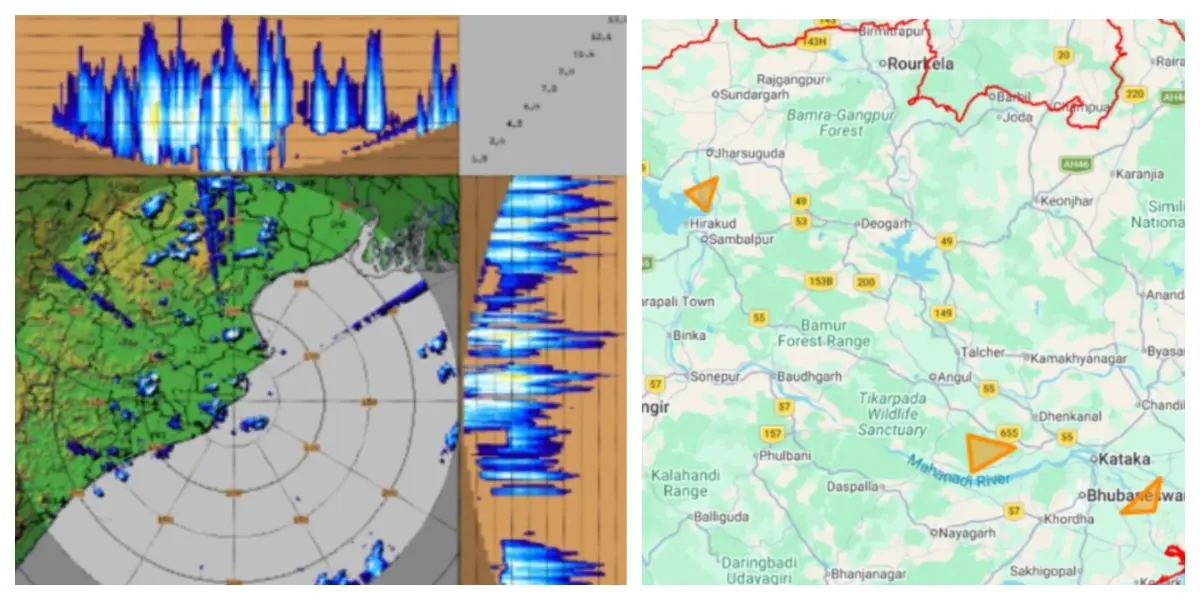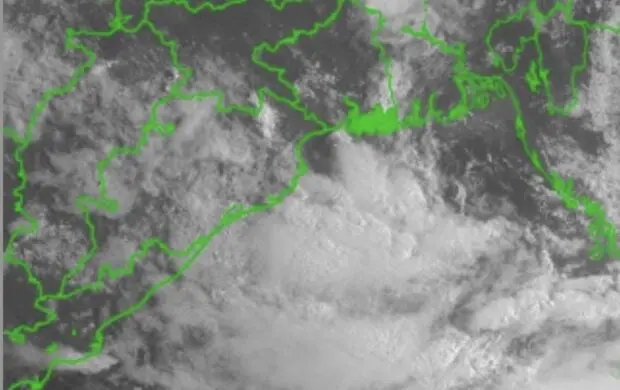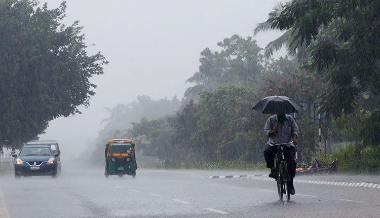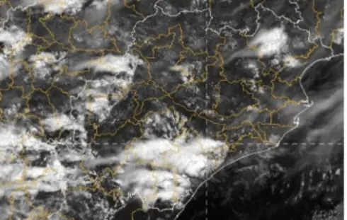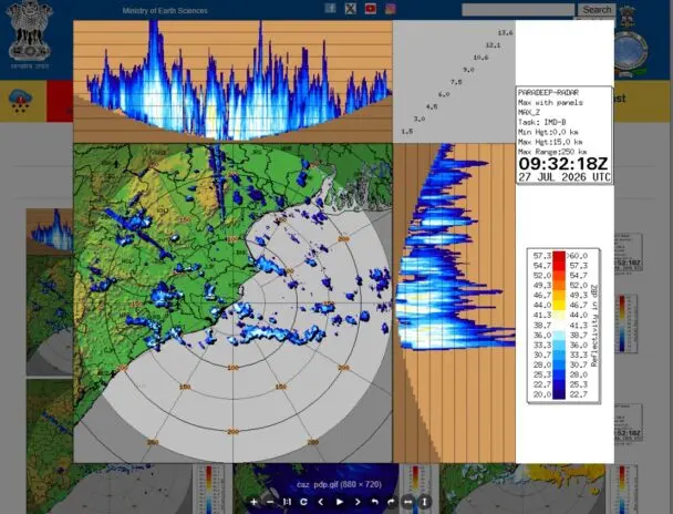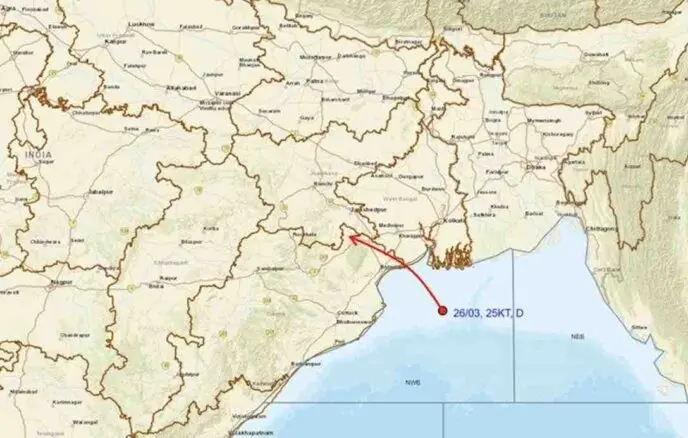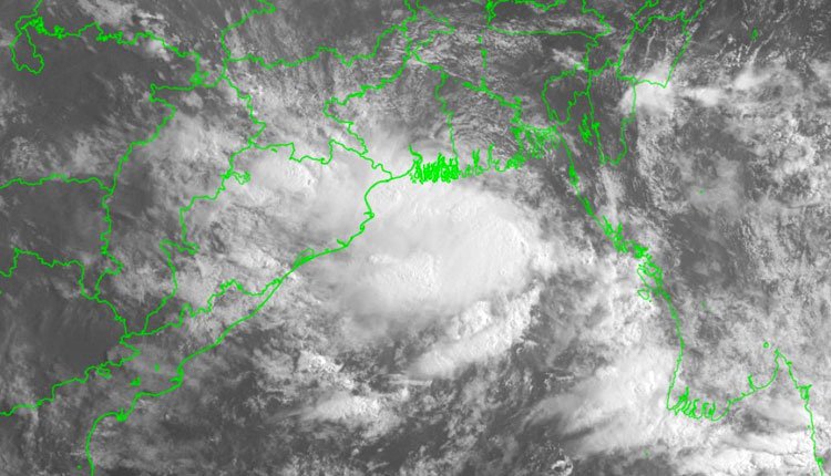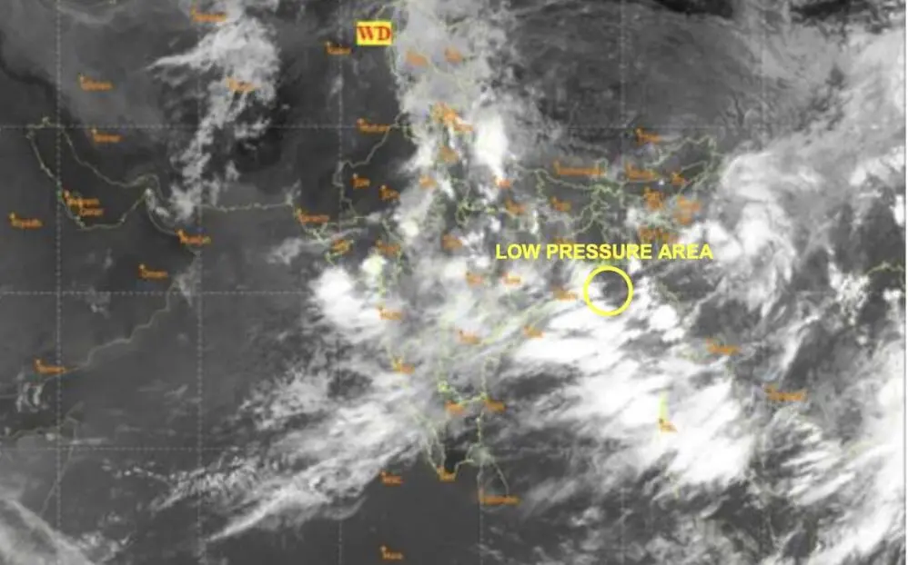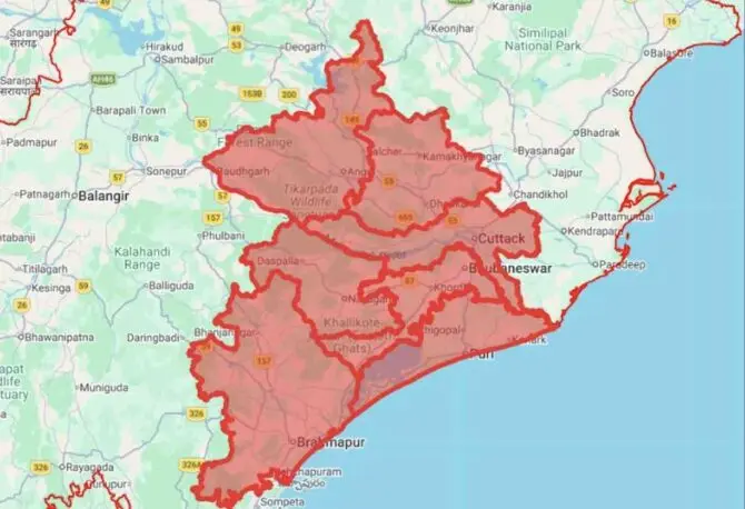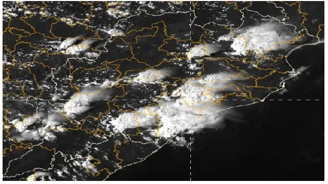

Bhubaneswar: A red alert has been announced by the India Meteorological Department (IMD) for Odisha, anticipating extremely heavy rainfall over the next two days. This warning coincides with the forecast of a low-pressure system over the southeast and adjacent east-central Bay of Bengal, which is expected to strengthen into a cyclonic storm by the morning of October 26, moving west-northwest toward the coasts of North Andhra Pradesh and South Odisha in the following days.
As of 5:30 am, a low-pressure area has formed in the southeast and adjoining east-central Bay of Bengal under the influence of a cyclonic circulation, likely to persist in the region and develop into a depression by October 24. It is projected to continue its west-northwest movement, intensifying into a deep depression on October 25, and possibly evolving into a cyclonic storm by October 26 morning. Following this, it is expected to further intensify while heading toward the North Andhra Pradesh and adjoining South Odisha coasts over the next two days, as stated in the midday bulletin from the IMD.
If the system achieves the necessary intensity to be classified as a cyclonic storm, it will be named Arnab, a contribution from Bangladesh.
IMPACT ON ODISHA
On October 26, following a brief dry spell, light to moderate rainfall or thundershowers are likely to resume in several districts, including Baleshwar, Bhadrak, Jajpur, Kendrapada, Jagatsinghapur, Kataka, Gajapati, Ganjam, Puri, Khordha, Nayagada, and isolated areas in Sundaragada, Jharsuguda, Baragada, Sambalpur, Debagada, Anugola, Dhenkanal, Kendujhar, Mayurbhanj, Sonpur, Boudh, Nuapada, Balangir, Kalahandi, Kandhamala, Nabarangpur, Rayagada, Koraput, and Malkangiri.
A yellow warning for thunderstorms, accompanied by lightning and surface winds of 30-40 km/h, is expected in districts including Baleshwar, Bhadrak, Jajpur, Kendrapada, Jagatsinghpur, Kataka, Gajapati, Ganjam, Puri, Khordha, and Nayagada.
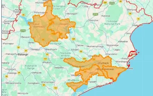
On October 27, a red warning will be in effect, predicting heavy to very heavy rainfall in several areas, particularly in Gajapati, Ganjam, and Puri, with widespread light to moderate rainfall anticipated across the state.
An orange warning indicates heavy to very heavy rainfall at isolated locations over Baleshwar, Bhadrak, Jajpur, Kendrapada, Dhenkanal, Jagatsinghpur, Kataka, Kendujhar, Mayurbhanj, Kandhamala, Rayagada, Koraput, Malkangiri, Khordha, and Nayagada. Thunderstorms with lightning and gusty winds reaching 40-50 km/h, gusting to 60 km/h, are also likely in parts of Rayagada, Koraput, Malkangiri, Gajapati, Ganjam, Puri, Khordha, and Nayagada.
A yellow warning for heavy rainfall is in effect for isolated areas in Anugola, Boudh, Kalahandi, and Nawarangpur, with gusty winds of 30-40 km/h gusting to 50 km/h in adjacent districts.
On October 28, a red warning will remain for heavy to very heavy rainfall, especially in Rayagada, Koraput, Malkangiri, Gajapati, and Ganjam. An orange warning will predict heavy to very heavy rainfall in Baleshwar, Bhadrak, Jajpur, Kendrapada, Jagatsinghpur, Kataka, Dhenkanal, Kendujhar, Mayurbhanj, Kalahandi, Kandhamala, Nabarangpur, Puri, Khordha, and Nayagada. A yellow warning will be in place for heavy rainfall in Sundaragada, Jharsuguda, Baragada, Sambalpur, Debagada, Anugola, Sonpur, Boudh, Nuapada, and Balangir.
On October 29, an orange warning will forecast heavy to very heavy rainfall in isolated locations over Sundaragada, Jharsuguda, Sambalpur, Kendujhar, and Mayurbhanj. A yellow warning for heavy rainfall will be issued for Jajpur, Baragada, Debagada, Anugola, Dhenkanal, Sonpur, Nuapada, and Balangir.
Squally weather with wind speeds of 40-50 km/h, gusting to 60 km/h, is anticipated along and off the Odisha coast from October 26-27, with sea conditions expected to be rough to very rough during this period. Fishermen are advised to avoid venturing into the sea along and off the Odisha Coasts during this time.
OCTOBER CYCLONES
The North Indian Ocean Extended Range Outlook from the weather bureau indicates a 68 to 100 percent chance that the low-pressure system will evolve into a depression or a stronger cyclonic storm between October 23 and October 29. Coastal states, including Odisha, Andhra Pradesh, and West Bengal, as well as the Andaman and Nicobar Islands, are being closely monitored as they prepare for light to moderate rainfall along with squally weather and wind gusts up to 60 km/h.
October marks the climactic peak for cyclonic activity in the Bay of Bengal, driven by warm sea-surface temperatures and favorable atmospheric conditions. The infamous Super Cyclone, which struck the Odisha coast near Ersama and Balikuda in the Jagatsinghpur district, recorded peak wind speeds of 250-260 km/h, making it one of the most intense tropical storms ever documented in the North Indian Ocean. Cyclone Phailin made landfall near Gopalpur, Odisha, on October 12, 2013, while the following year, Cyclone Hudhud impacted the area near Visakhapatnam, Andhra Pradesh, with sustained winds of about 175-185 km/h on October 12. In 2018, Cyclone Titli reached land near Palasa in Srikakulam district with maximum sustained winds of 140-150 km/h, gusting to 165 km/h. Furthermore, Cyclone Montha crossed the Andhra Pradesh and Yanam coasts near Narasapuram/Kakinada on October 28-29, 2025, with maximum sustained winds of 90-100 km/h, gusting up to 110 km/h.