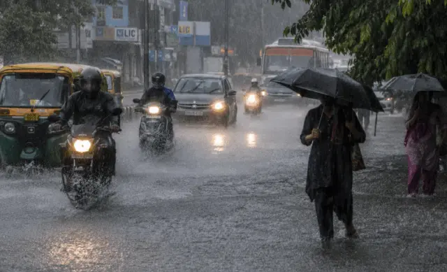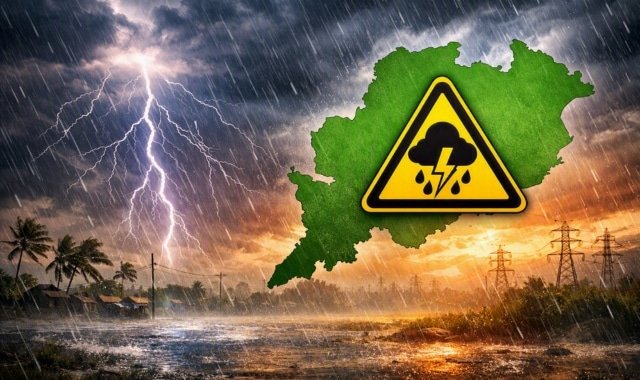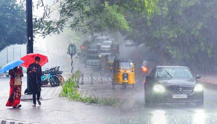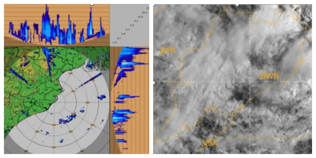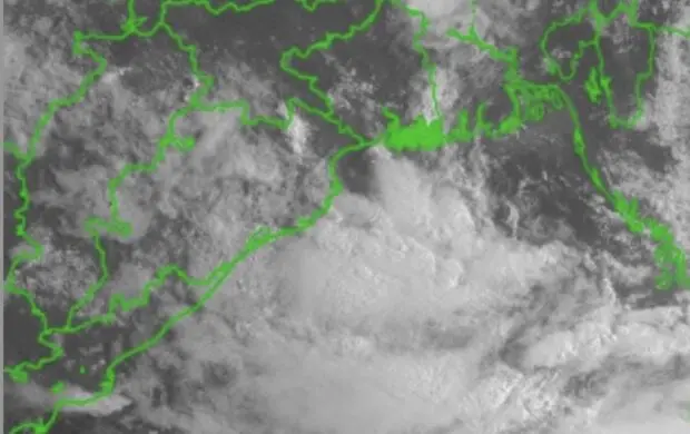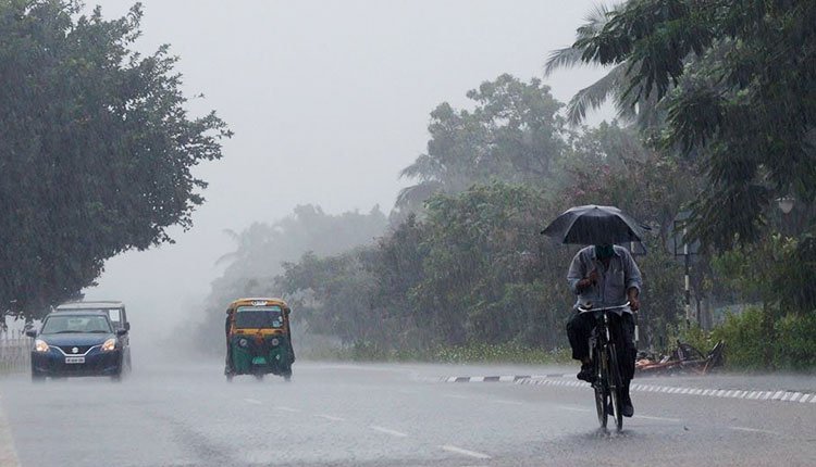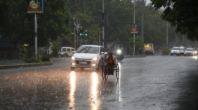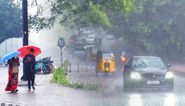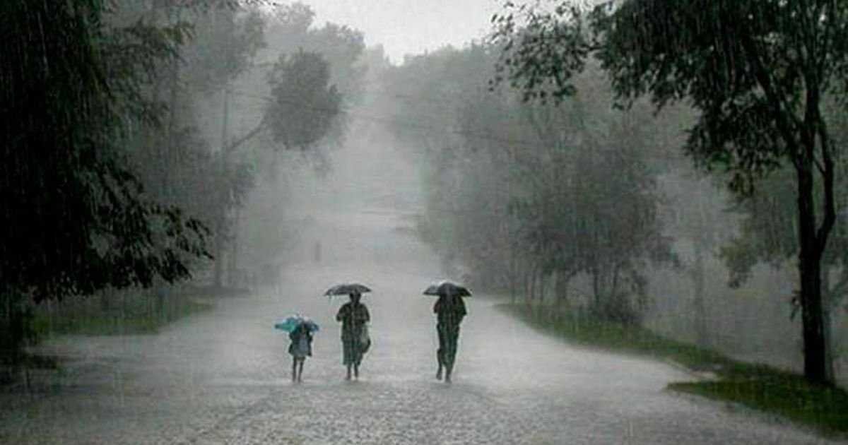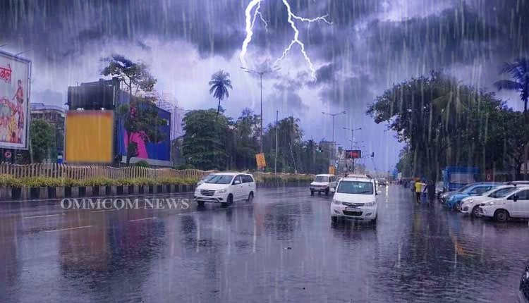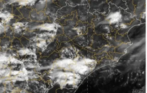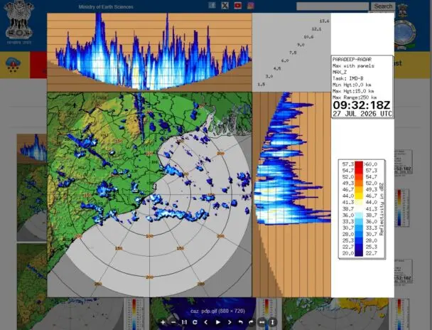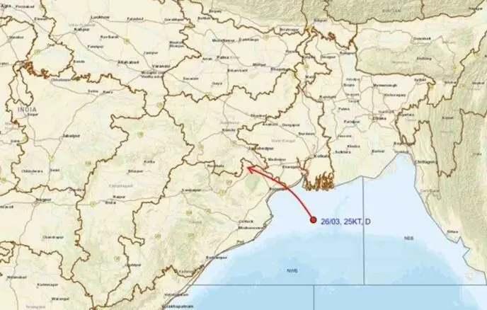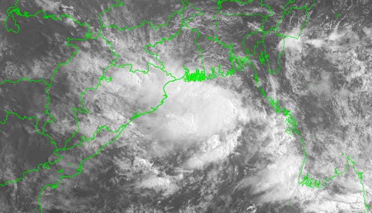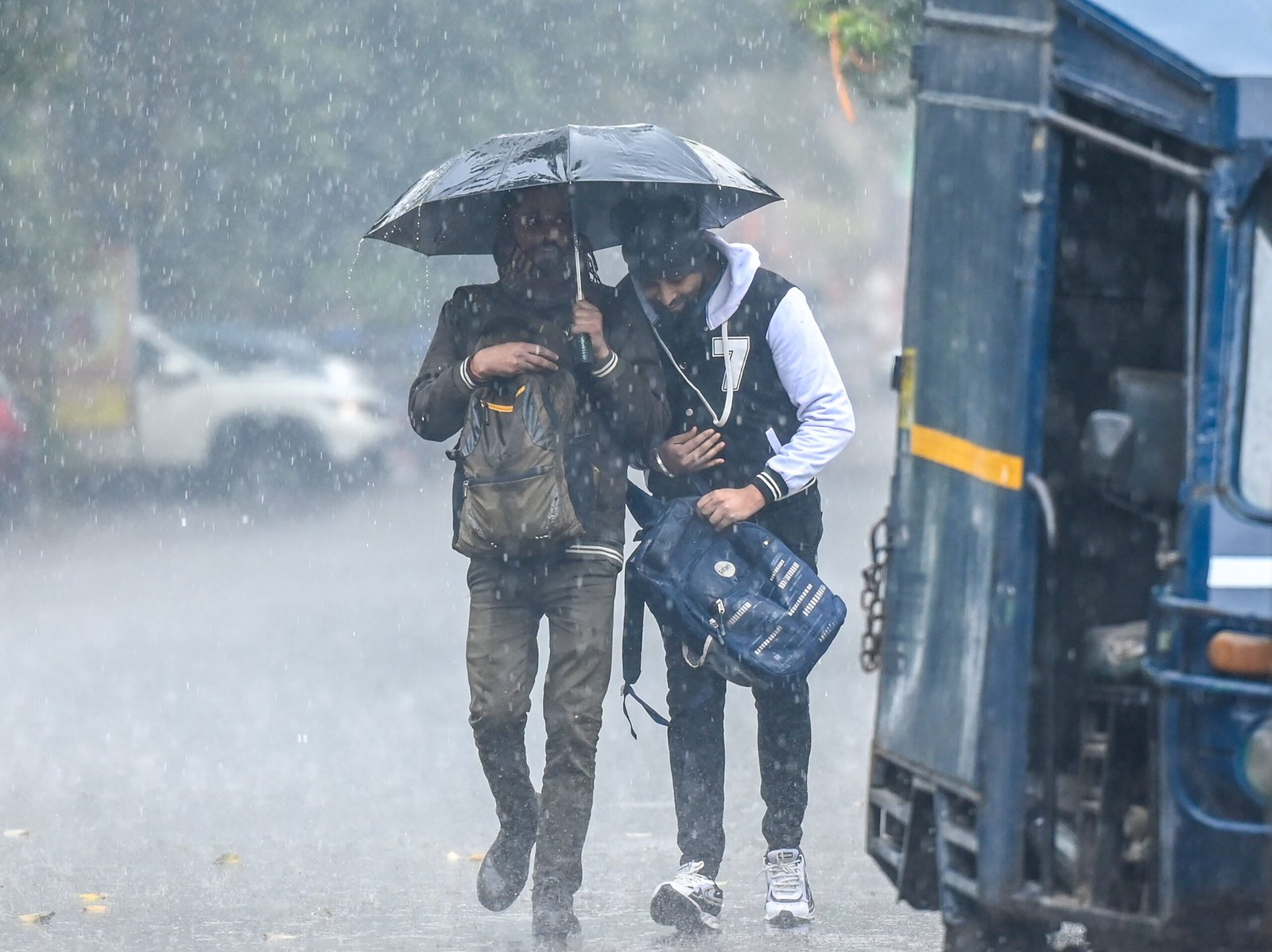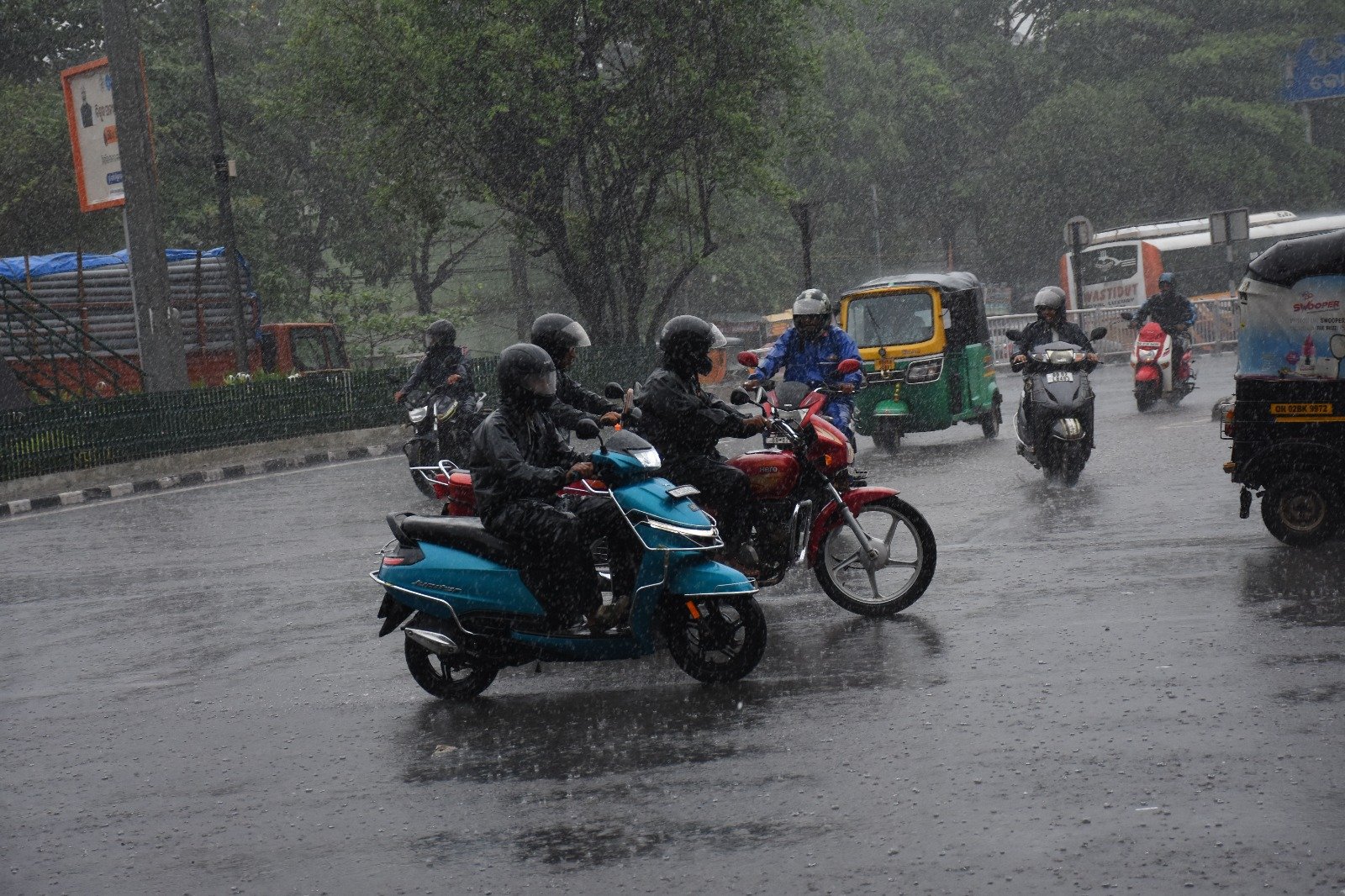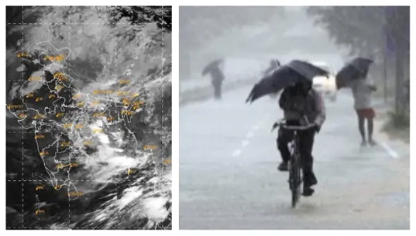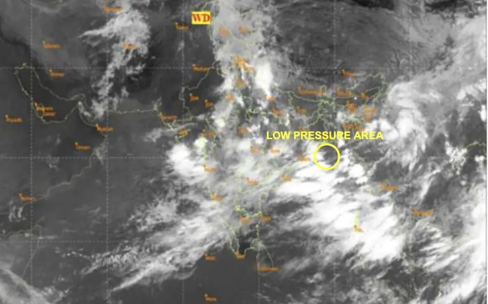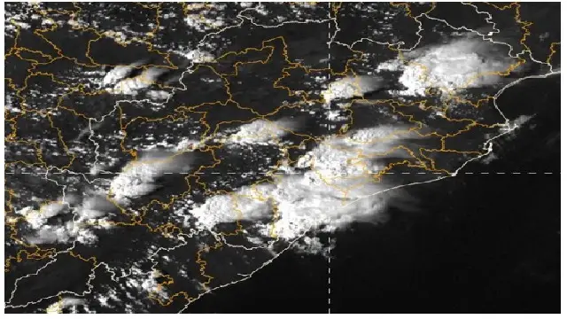
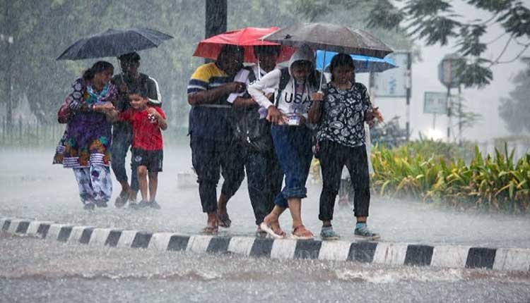
Bhubaneswar: The India Meteorological Department (IMD) has announced a forecast for heavy rains in various regions of Odisha on July 24 and 25. The IMD’s bulletin indicates that an upper air cyclonic circulation, noted over the northwest Bay of Bengal and the adjacent north Odisha coast at altitudes between 5.8 and 7.6 kilometers above sea level, was recorded at 5:30 PM IST on Thursday but has diminished by 8:30 AM IST today.
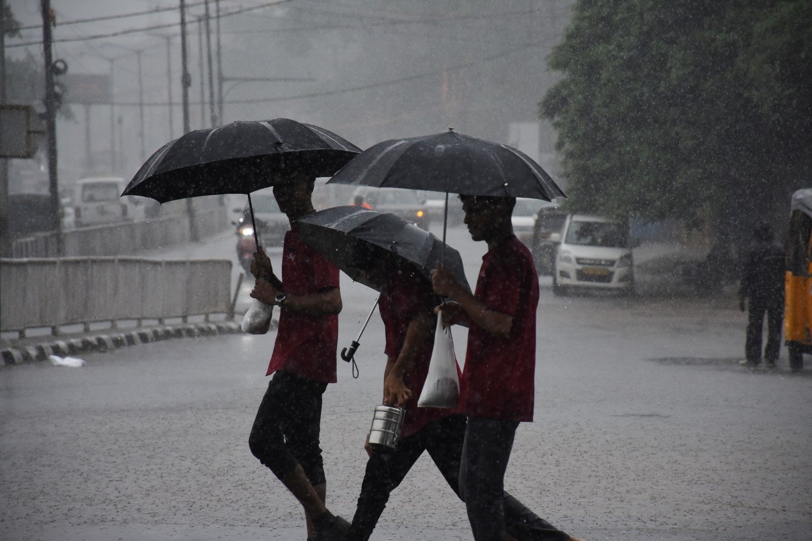
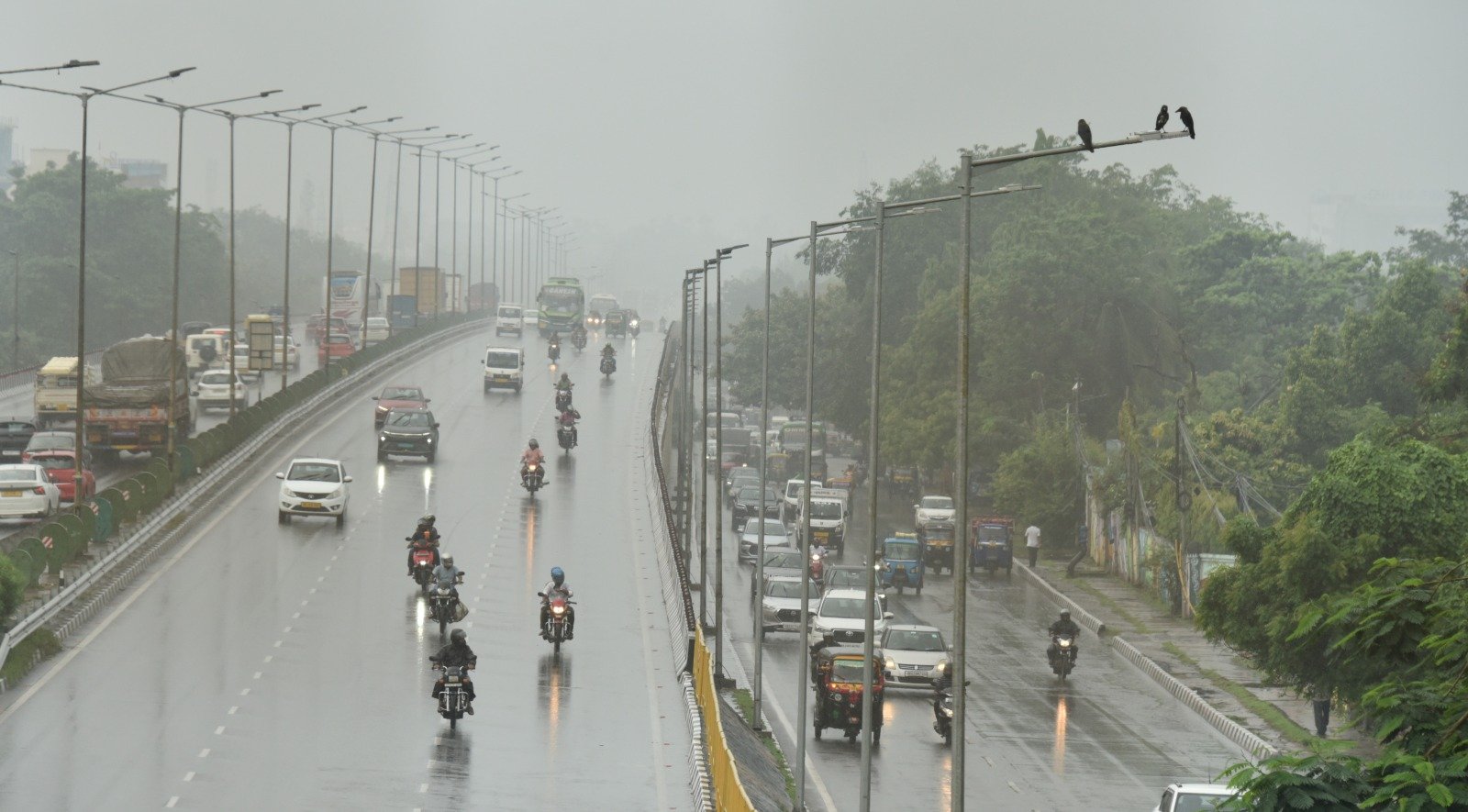
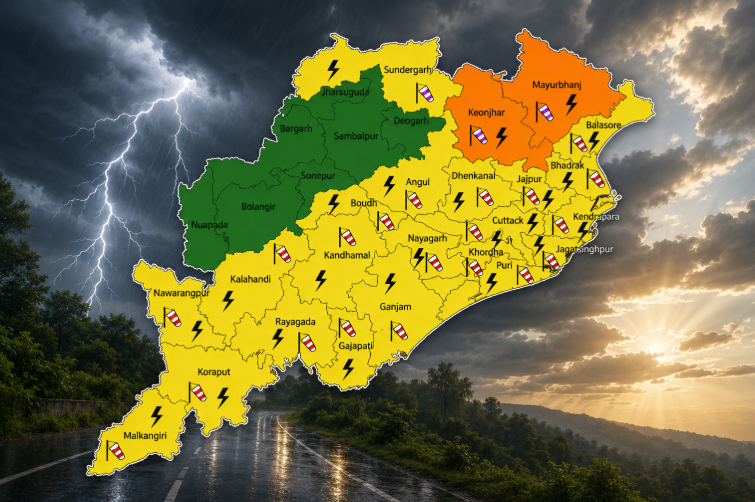
A Yellow Warning (Be Aware) has been issued for July 24, where heavy rainfall is expected in one or two locations within the districts of Baleshwar, Kendujhar, and Mayurbhanj.
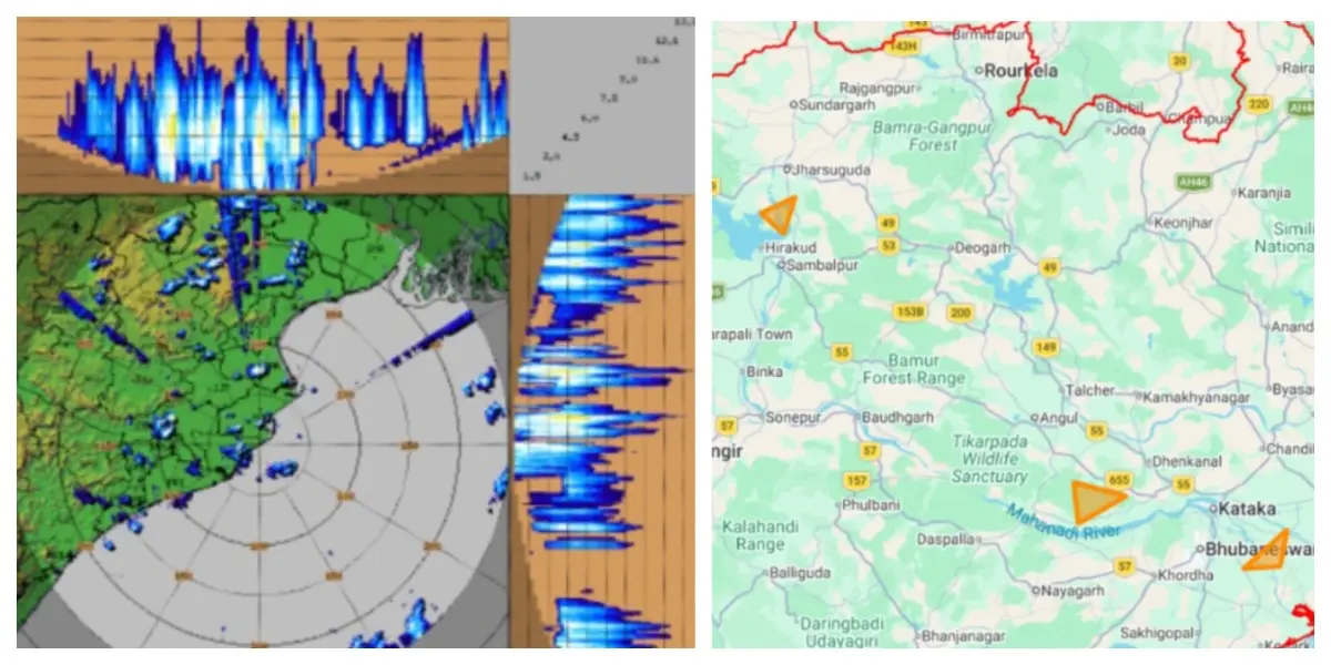
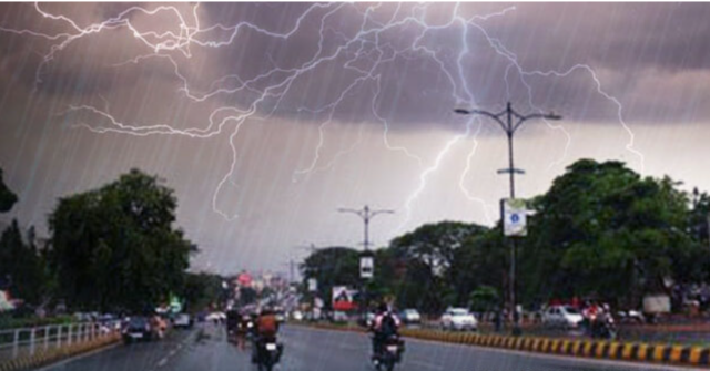
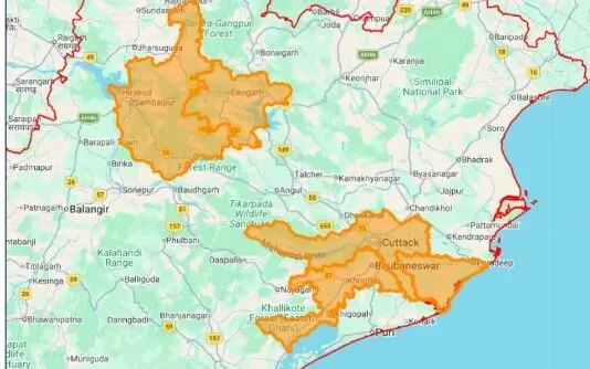
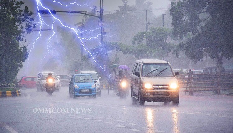
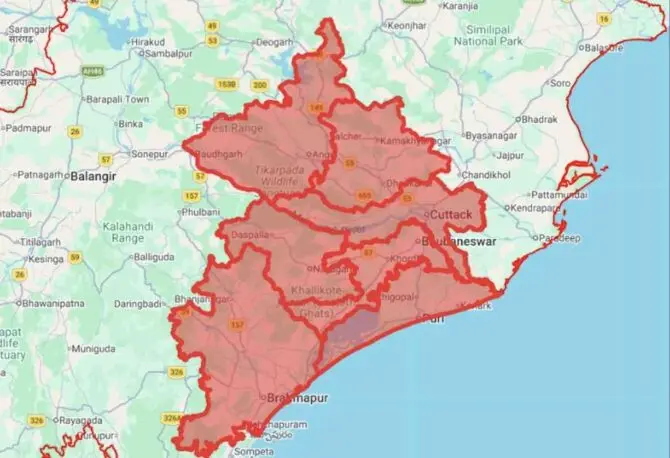
Additionally, thunderstorms accompanied by lightning and strong winds, with speeds of 30-40 km/h, are likely in select areas of Baleshwar, Bhadrak, Jajpur, Kendrapada, Jagatsinghapur, Cuttack, Sundargarh, Jharsuguda, Sambalpur, Kendujhar, Mayurbhanj, Gajapati, Ganjam, Puri, Khordha, and Nayagarh.
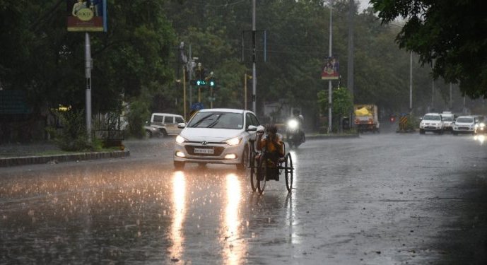
For July 25, the IMD predicts heavy rainfall in several locations across all districts of the state, continuing the Yellow Warning for heavy rain in one or two areas of Baleshwar, Sundargarh, Kendujhar, and Mayurbhanj.
The forecast also includes thunderstorms with lightning and gusty winds of 30-40 km/h in areas including Baleshwar, Bhadrak, Jajpur, Kendrapada, Jagatsinghapur, Cuttack, Sundargarh, Jharsuguda, Bargarh, Sambalpur, Deogarh, Anugul, Dhenkanal, Kendujhar, and Mayurbhanj.
In the past 24 hours, Paralakhemundi recorded the highest temperature at 33.2°C, while Boudh experienced the lowest at 18.3°C in the plains of Odisha.
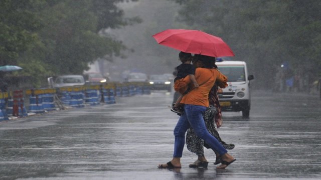
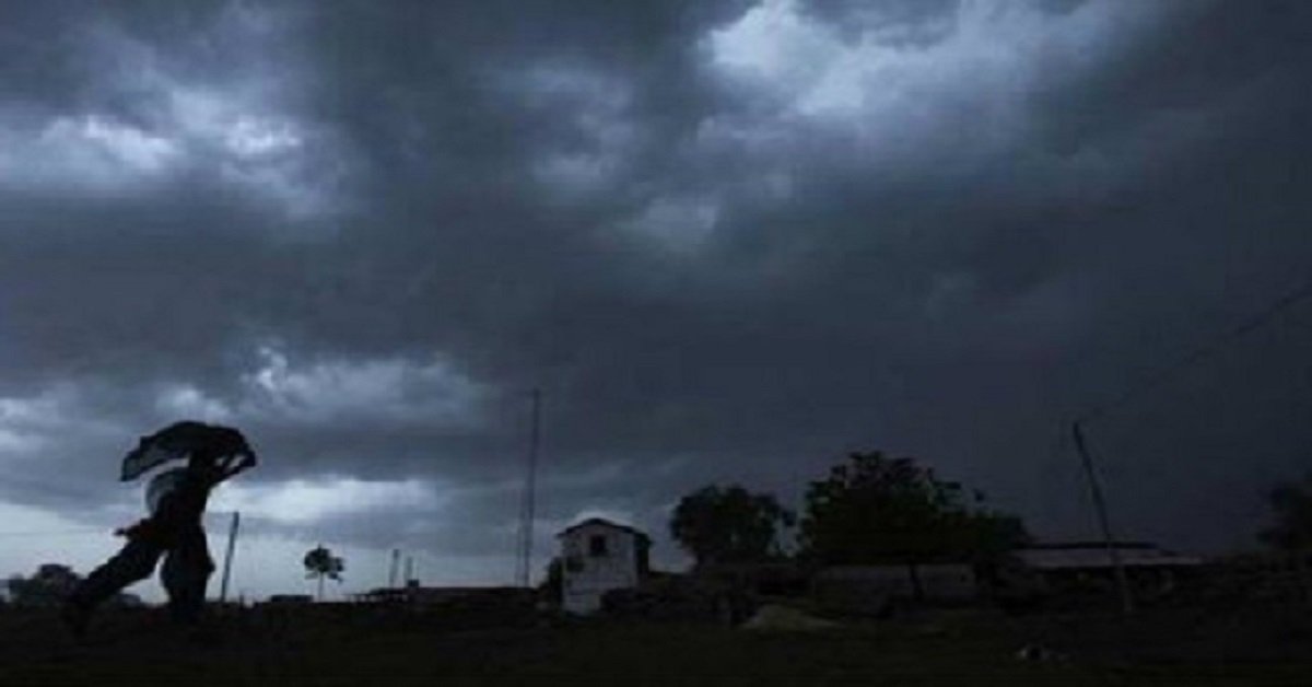
Officials have urged residents in the affected districts to remain vigilant and take appropriate precautions during the expected thunderstorms and heavy rainfall.