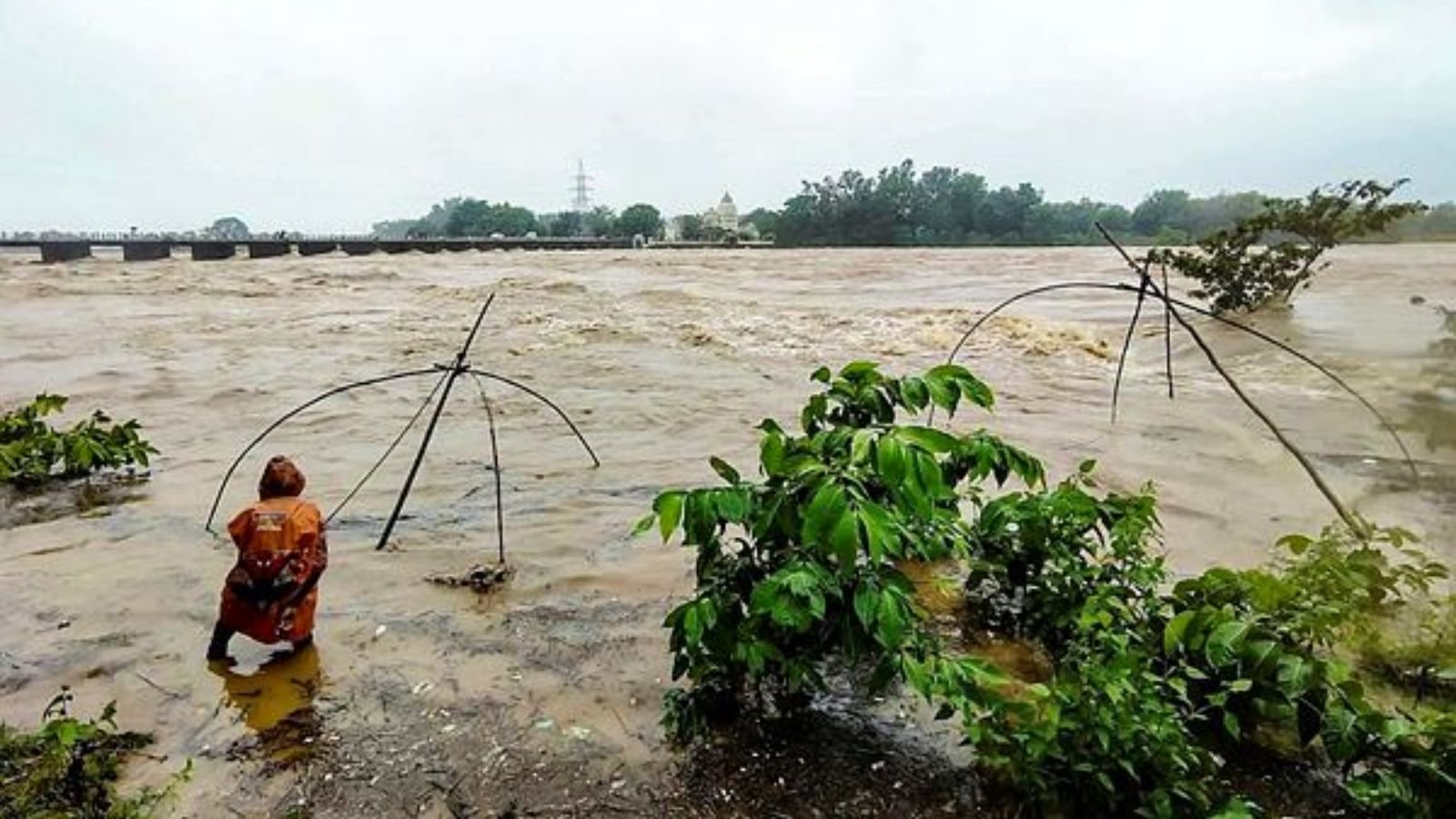

Bhubaneswar: More than 30,000 residents have been evacuated in Odisha, as the southern part of the state remains on high alert following the completion of the landfall of very severe cyclonic storm Arnab along the Andhra Pradesh-Yanam coast, according to a government minister.
Disaster Management Minister Suresh Pujari indicated that all southern districts are anticipated to be affected, with Malkangiri expected to experience the most severe impact.
“The cyclone is currently within Andhra Pradesh and is projected to reach Odisha later in the afternoon,” Pujari stated, noting that personnel and resources have been deployed to vulnerable areas, and evacuation efforts are ongoing.
The focus of the state government is on the districts of Ganjam, Gajapati, Rayagada, Koraput, Malkangiri, and Nabarangpur, where residents from low-lying or landslide-prone zones are being relocated to shelters.
Schools and anganwadi centers in 16 out of the 30 districts in the state have been closed for the day.
In preparation for the cyclone, 2,037 shelters have been readied, equipped with food, drinking water, and other necessary provisions.
Additionally, the administrations in Kalahandi, Kandhamal, and Nuapada districts are also on alert, as reported by the minister.
While there have been reports of uprooted trees in some southern districts, no significant damage or injuries have been reported thus far, Pujari confirmed.
The India Meteorological Department (IMD) reported that the cyclone made landfall on the Andhra Pradesh-Yanam coast between 2 am and 8 am as a very severe cyclonic storm, with maximum sustained winds of 125-135 km/h.
According to the IMD’s latest bulletin, the landfall process has concluded, with the storm moving inland.
By 8:30 am, the cyclone had weakened to a severe cyclonic storm, with wind speeds decreasing to 110-120 km/h.
The system is expected to move in a north-northwest direction over the next two days and gradually weaken.
Forecasts suggest that it will weaken into a cyclonic storm in the next six hours, and subsequently into a deep depression within another six hours, as per the IMD.
The cyclone’s path is expected to traverse parts of southern Odisha before heading northwest towards Chhattisgarh.
Its outer bands have already begun to produce continuous rainfall and strong winds in the districts of Koraput, Rayagada, Gajapati, and Ganjam.
Manorama Mohanty, director of the Regional Meteorological Centre in Bhubaneswar, indicated that wind speeds could reach between 60 and 70 km/h, with gusts possibly hitting 80 km/h as the system progresses inland.
The IMD has issued a red alert for heavy to extremely heavy rainfall in Malkangiri, Koraput, Nabarangpur, Rayagada, Gajapati, and Kalahandi districts, predicting rainfall exceeding 20 cm and winds at 60 km/h.
Authorities in hilly regions have been warned of potential localized landslides due to the ongoing rainfall.
Heavy to very heavy rainfall, along with winds of 40-60 km/h, is also expected in the districts of Bargarh, Subarnapur, Boudh, Nuapada, Balangir, Kandhamal, Puri, Khordha, and Nayagarh.
An orange alert has been issued for Sundargarh, Jharsuguda, and Bargarh districts for October 29, anticipating heavy to very heavy rainfall and gusty winds.
Pujari noted that 313 response teams have been deployed to designated vulnerable areas, which include 60 teams from the Odisha Disaster Rapid Action Force (ODRAF), nine teams from the National Disaster Response Force (NDRF), and 244 teams from Fire and Emergency Services.
All 19,143 fishing boats have returned to shore, and preventative measures, including temporary road closures in landslide-prone areas, have been implemented, he stated.
“Our primary goal is to achieve zero casualties,” the minister emphasized.