A deep depression in the Bay of Bengal is escalating into a cyclonic storm, bringing the threat of heavy rain and strong winds to Odisha. In response, the state government has activated its disaster management protocols.
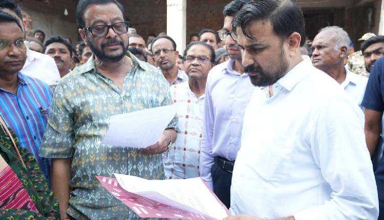
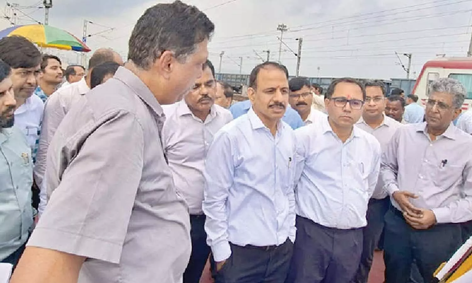
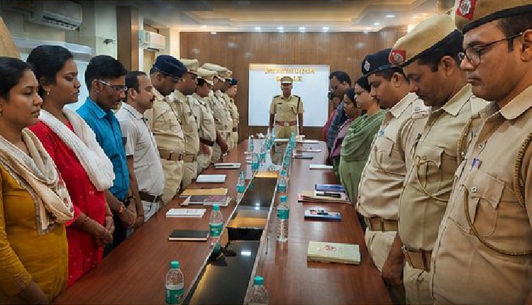
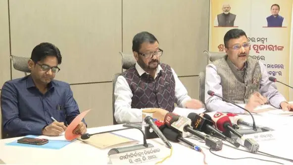
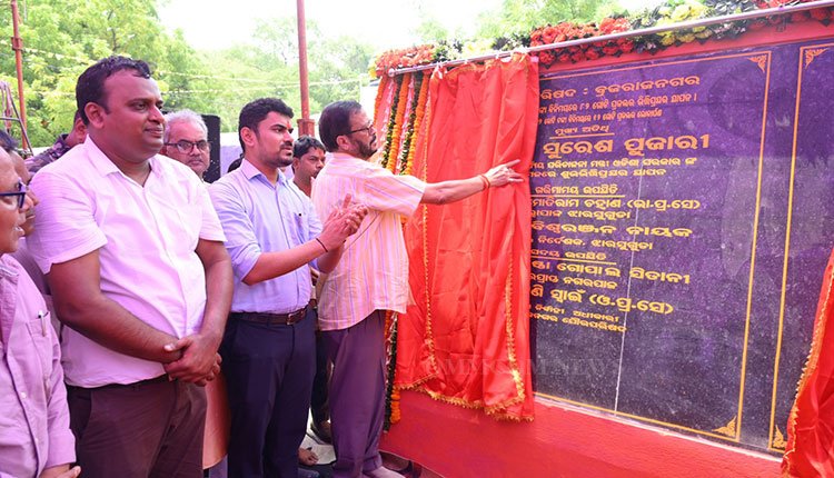
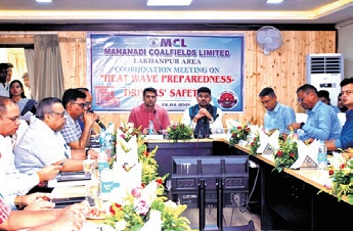
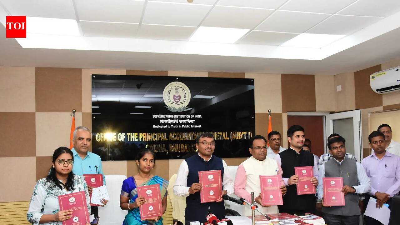
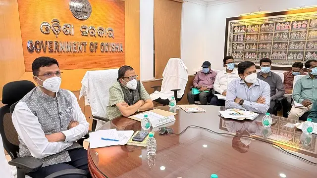
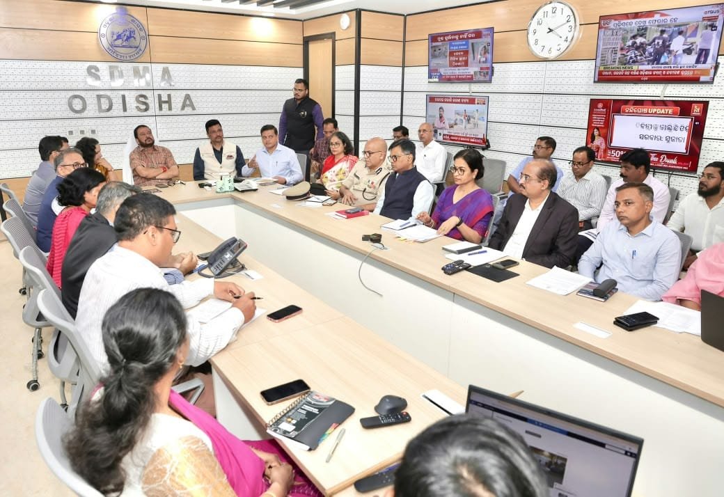
On Monday, Revenue and Disaster Management Minister Suresh Pujari led a high-level meeting at the State Emergency Operation Centre (SEOC) in Bhubaneswar, urging all departments and district administrations to be fully prepared by November 17.
Joined by the Chief Secretary and senior officials from key sectors, the meeting reviewed the latest updates from the India Meteorological Department (IMD) and evaluated the readiness for rescue, relief, and evacuation efforts. Minister Pujari stressed that the government’s priority is to save lives and called for effective inter-department coordination and proactive precautions.
Cyclone Path and Rain Forecast
The IMD in Bhubaneswar reported that the deep depression over the southeastern and adjacent southwestern Bay of Bengal has strengthened into a cyclonic storm as of Monday evening. It is expected to develop into a Severe Cyclonic Storm by the evening of November 17 and potentially become a Very Severe Cyclonic Storm before making landfall near the Andhra Pradesh and Yanam coasts—specifically between Nellore and Tuni—around noon on November 20. Wind speeds are anticipated to reach 120-130 km/h, with gusts up to 145 km/h.
Though landfall is predicted to occur south of Odisha, the state will experience significant peripheral effects:
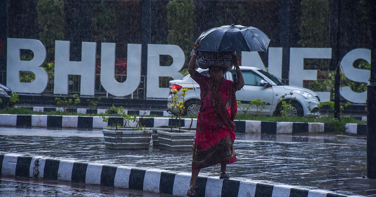
- November 18-19: Heavy to very heavy rainfall, alongside thunderstorms and gusty winds, is forecasted for southern and coastal areas, including Ganjam, Gajapati, and Puri.
- November 20: Widespread rainfall is expected across all districts, with particularly heavy downpours in Ganjam, Gajapati, Rayagada, Koraput, and Malkangiri.
- November 21: Heavy to very heavy rainfall is likely in parts of Sundargarh, Jharsuguda, Nuapada, and Koraput.
Deployment of Rescue Teams and Landslide Precautions
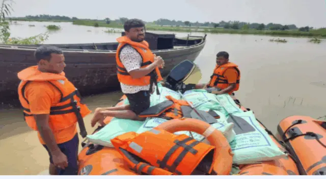
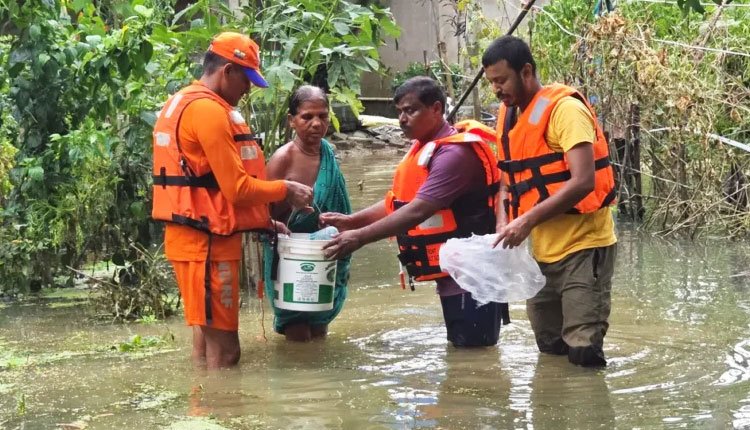
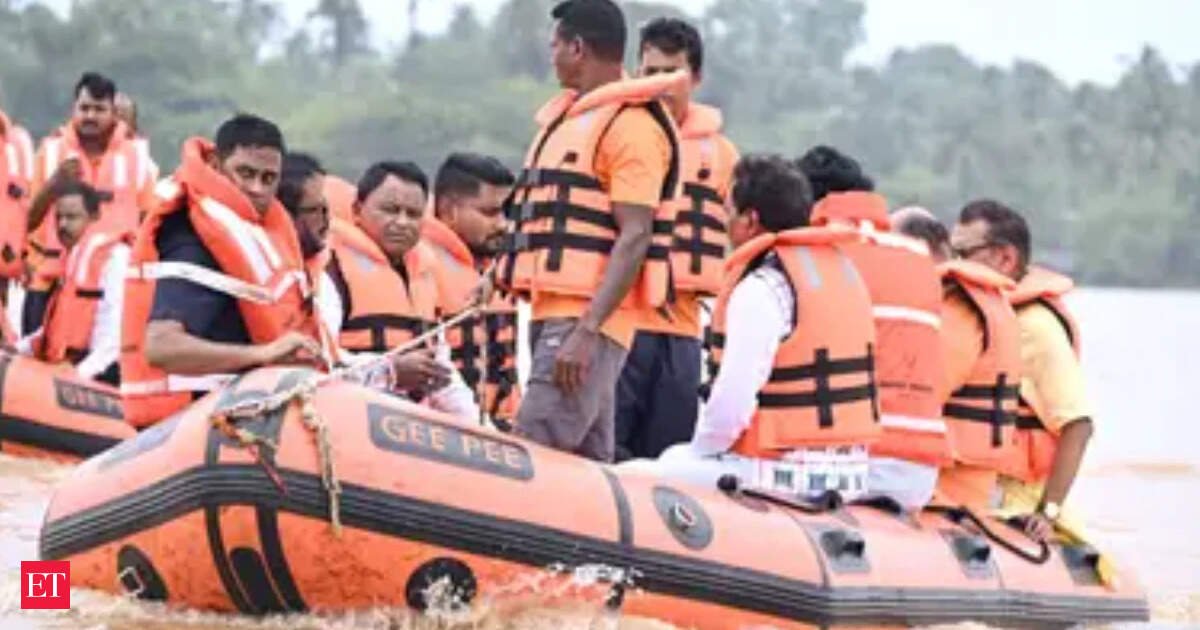
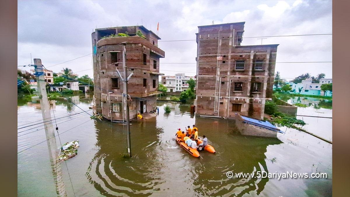
The state has organized the pre-deployment of 74 specialized rescue teams—60 from ODRAF and 14 from NDRF—to be stationed in at-risk districts such as Ganjam, Gajapati, Kandhamal, Rayagada, Koraput, Malkangiri, and Puri. Fire Services units are also on high alert, equipped with boats, lighting gear, and rescue equipment.
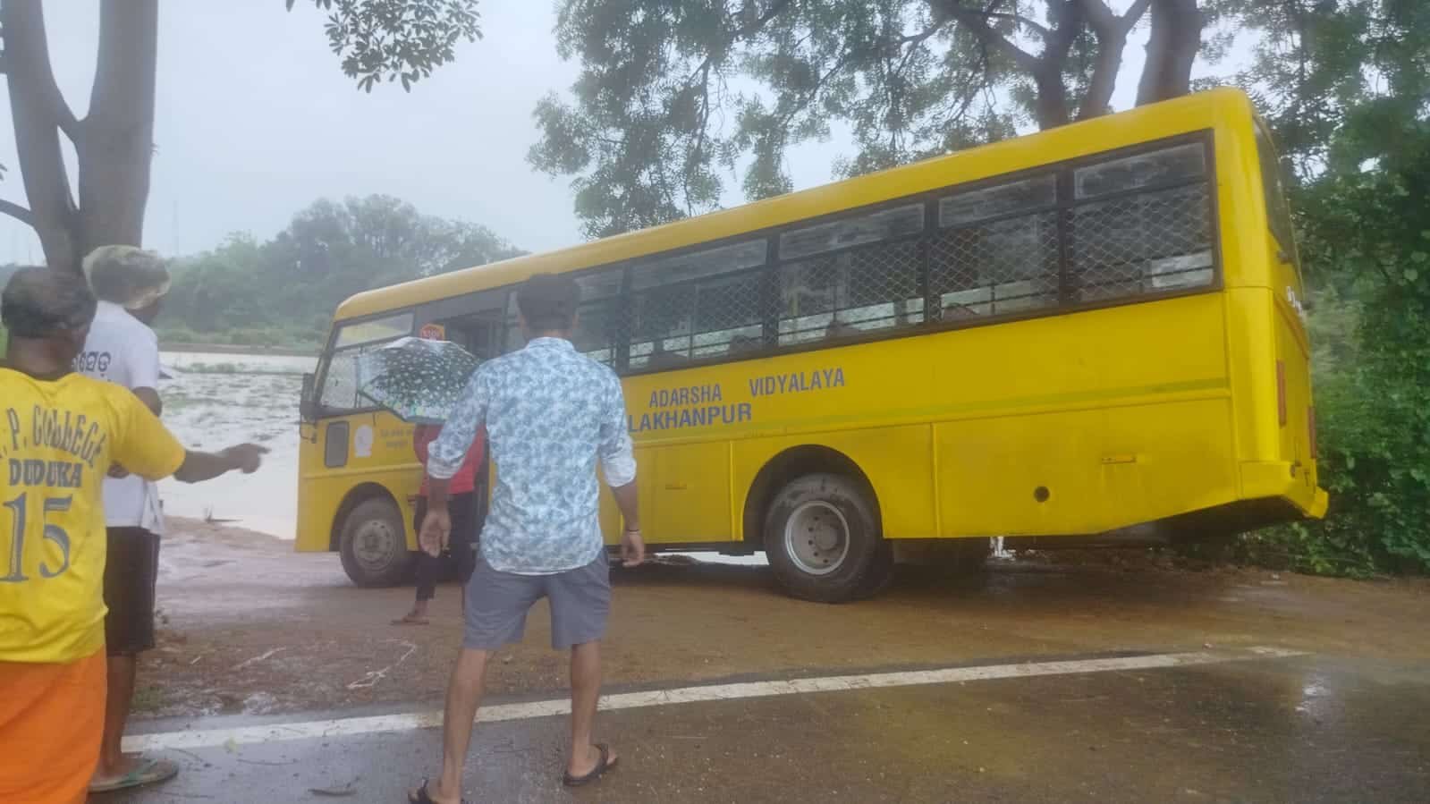
Given the increased risk of landslides in hilly regions, the Minister urged officials to accelerate the evacuation of residents from identified landslide-prone areas and asked the public to cooperate with local authorities during these relocations.
Departmental Directives
- Shelters & Vulnerable Populations: District Collectors in high-risk areas have been instructed to keep District Emergency Operation Centres (DEOCs) operational around the clock. Officials are identifying vulnerable groups—including children, senior citizens, individuals with disabilities, and pregnant women—and ensuring access to drinking water, sanitation, power, and backup generators at cyclone shelters before November 17.
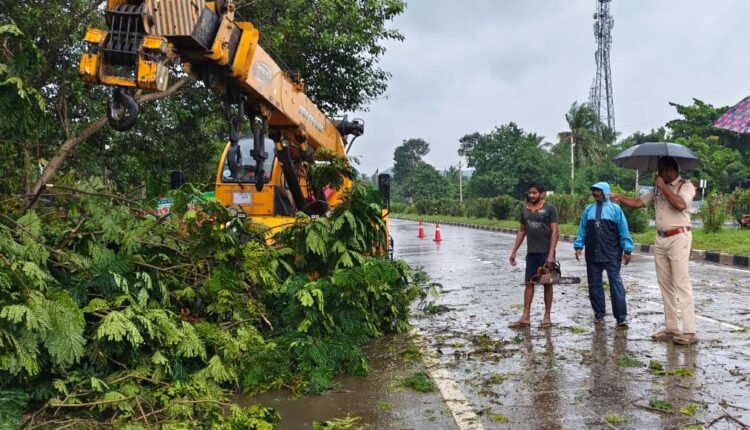
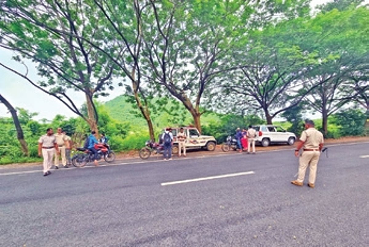
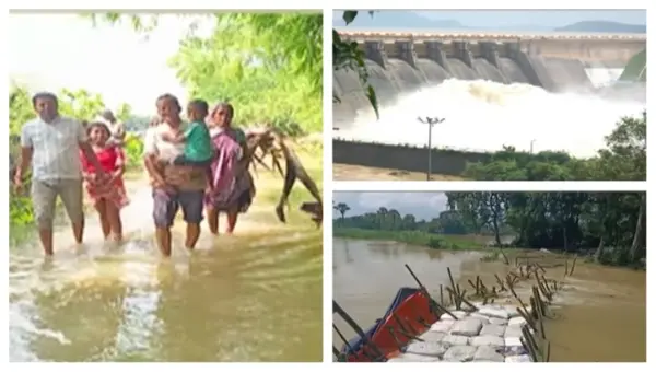
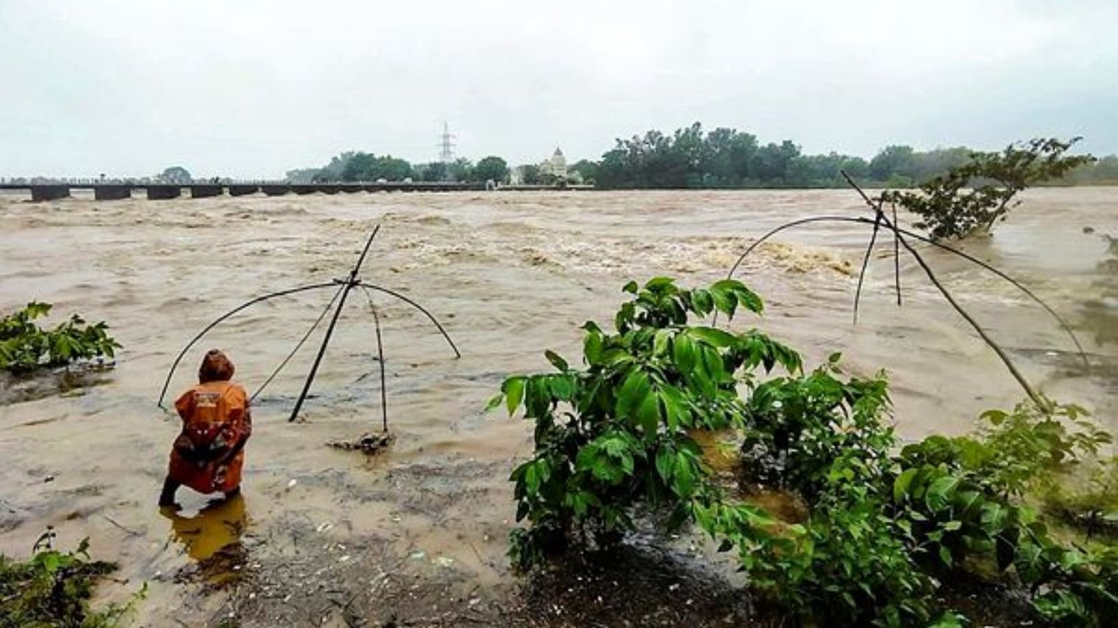
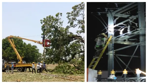
- Water & Infrastructure: The Water Resources Department is monitoring reservoir inflows, river levels, and weak embankments. Road maintenance crews equipped with earthmovers and tree-cutters are on standby to clear blocked roads, bridges, and hilly routes.
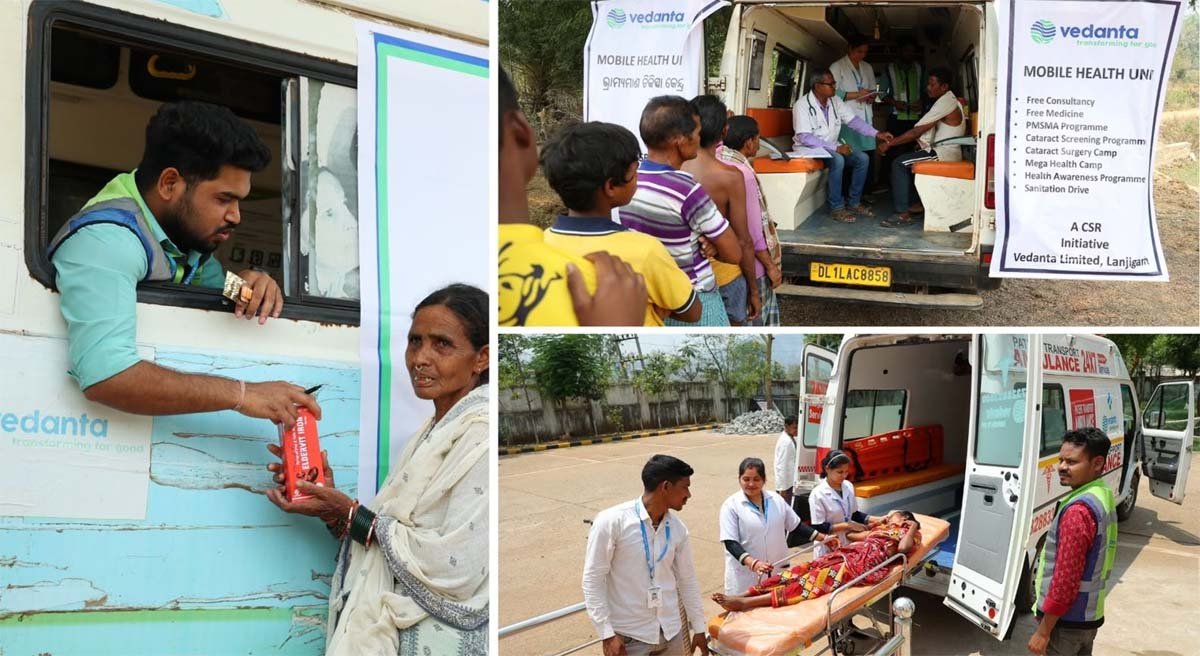
- Essential Supplies & Health: The Food Supplies and Panchayati Raj departments are responsible for stockpiling sufficient dry rations, drinking water, and fuel. Hospitals have been directed to check backup power systems, oxygen supplies, and the readiness of ambulances.
- Power, Telecom & Agriculture: Energy and telecommunications agencies are preparing rapid-response teams to protect critical infrastructure and ensure uninterrupted power for hospitals and control rooms. The Agriculture Department is providing crop advisories and organizing care for livestock.
- Fishermen Warnings & Alerts: With sea conditions expected to be rough to very rough from November 18 to the morning of November 20, fishermen are strongly advised against going to sea. The Marine Police and Coast Guard are coordinating the safe return of vessels already out. Early warnings are being disseminated swiftly through SATARK, EWDS sirens, SMS alerts, and media channels.